My Recent Lookups
How to Use the Tool
Select Land Location Search on the map, use GPS, or pick State, District, Mandal (the sub-division in Delhi), Village and Survey Number (the khasra number in Delhi) from the dropdowns. Get your report instantly Survey number, extent, boundary coordinates and map, ready to download as PDF or share via WhatsApp.
How to check khasra number online in Delhi
Delhi's land records are held in the Revenue Department's computerised land records system (DLRC), and citizens reach the record of rights (ROR) through e-District Delhi. To do a khasra no check online:
1. Register on e-District Delhi (New User Registration) if you do not have an account, and keep the registered mobile number handy. 2. On the e-District home page, open Issuance of ROR (DLRC) under Other Links. 3. Enter your e-District registration ID or user ID and your registered mobile number. This is the Delhi land record by khasra no online login. 4. Select the district, then the sub-division and the village. As of October 2026 the form lists 14 districts: Central, Central North, East, New Delhi, North, North East, North West, Old Delhi, Outer North, Shahdara, South, South East, South West and West. 5. Choose the khata type: land held by bhumidars, land held by asami from gaon sabha, or land held by asami otherwise. 6. Search by khata number, khasra number or name. For a khasra search, enter the rectangle number (Rect No.), the khasra number and, where the field is divided, the min number. 7. Type the security code and submit.
If you do not know the khasra number, it is written on the sale deed, the mutation order and earlier RORs; you can also search the ROR by the owner's name. Check that the owner, khata and area in the ROR match the seller's papers before paying anything.
Delhi land record by khasra number: which record, which portal
Delhi's computerised land records, launched on 14 July 2004, hold the khatauni, khasra girdawari and field book for each village, along with mutations and proceedings under the Delhi Land Reforms Act, 1954. Which one you need depends on the question you are asking.
Delhi land record by khasra number: which record, which portal
Record or service
What it tells you
Where
What you enter
Output
ROR by khasra number
The record for one field (khasra)
e-District, Issuance of ROR (DLRC)
District, sub-division, village, khata type, Rect No., khasra no., min no.
ROR details for that khasra
ROR by khata number (khatauni)
The holding and its recorded owners
Same form, By Khata No
Khata no.
ROR details for the khata
ROR by name
Holdings recorded in a person's name
Same form, By Name
Owner's name
Matching records
Issuance of ROR
A formally issued ROR
e-District Revenue services
Application after login
Issued ROR; prescribed timeline 21 days
Mutation
Change of the recorded owner
e-District Revenue services
Application and documents
Mutation order; timeline 16 days
Land status report
Official report on a piece of land
e-District Revenue services
Application
Report; timeline 14 days
Lal Dora certificate
Whether a plot lies in the village abadi (lal dora)
e-District Revenue services
Application
Certificate; timeline 14 days
Record or service
What it tells you
Where
What you enter
Output
ROR by khasra number
The record for one field (khasra)
e-District, Issuance of ROR (DLRC)
District, sub-division, village, khata type, Rect No., khasra no., min no.
ROR details for that khasra
ROR by khata number (khatauni)
The holding and its recorded owners
Same form, By Khata No
Khata no.
ROR details for the khata
ROR by name
Holdings recorded in a person's name
Same form, By Name
Owner's name
Matching records
Issuance of ROR
A formally issued ROR
e-District Revenue services
Application after login
Issued ROR; prescribed timeline 21 days
Mutation
Change of the recorded owner
e-District Revenue services
Application and documents
Mutation order; timeline 16 days
Land status report
Official report on a piece of land
e-District Revenue services
Application
Report; timeline 14 days
Lal Dora certificate
Whether a plot lies in the village abadi (lal dora)
e-District Revenue services
Application
Certificate; timeline 14 days
Issued certificates are downloaded from e-District's Print/Download Certificate page. For a sale, ask the seller for a recent ROR and the mutation order, and match the khasra, khata and area with the sale deed.
Delhi khasra map: where to view it today
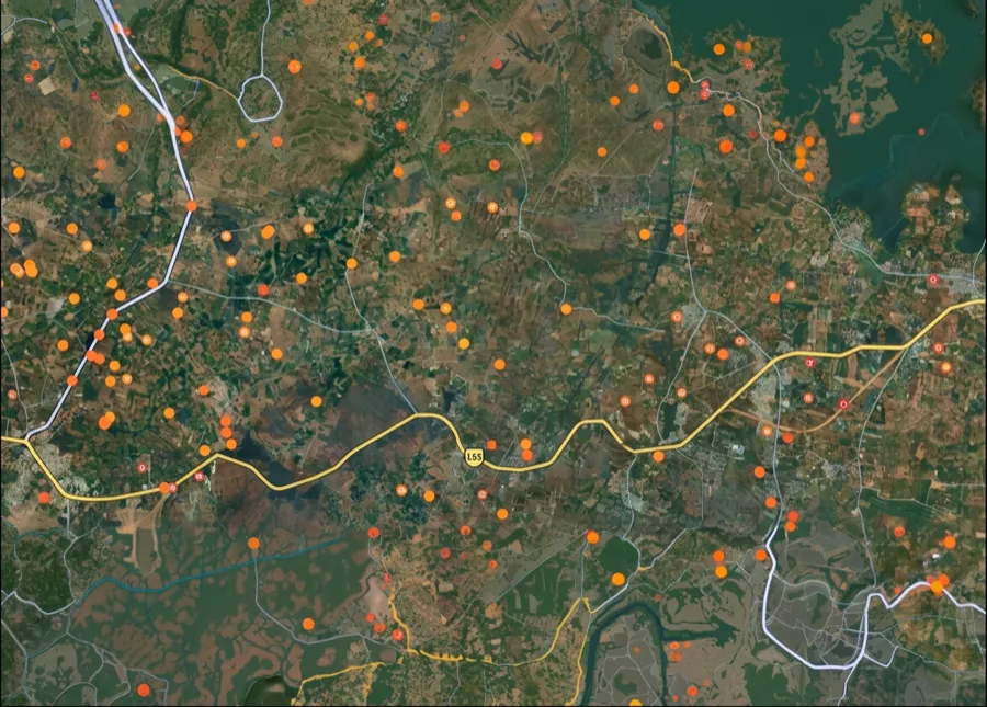
Searches for a Delhi khasra map or a khasra number map Delhi usually want the field drawn on a village map, not only the text record. As of October 2026, the Delhi Revenue Department's land records page says that a spatial database of geo-referenced digital maps is being developed with NIC, to be linked to the computerised records, and that a pilot of digital maps from aerial photographs covers two villages, one each in West and South West districts. The page does not list a public Bhu-Naksha style map service for Delhi, and the e-District ROR search returns the text record, not a map. What you can do now:
* For the record of a khasra, use the e-District ROR search described above. * For the location and boundary, ask the revenue office of the sub-division for the village map extract, and apply for demarcation if the boundary matters to the deal. * For an indicative boundary, use the survey number lookup at the top of this page where the 1acre layer covers your village; where it does not yet, use the notify option.
A map from any source only shows where a khasra lies. Ownership, khata and area come from the ROR, and whether a plot sits in lal dora, on gaon sabha land or under acquisition needs the revenue office's records. Treat any map shared by a seller as a starting point, not proof.
How is this Useful
For Buyers Know exactly what land you're buying survey number, area & boundary on map. For Owners Check if your land records match survey number, extent & boundary. For Developers Find adjacent survey numbers and plan aggregation with boundary data. For Banks & Valuators Desktop land verification survey number, extent & coordinates on demand. States covered 10 Villages mapped 180,000+ Survey numbers 80M+ Scale Your Land Tech with Our Robust API Integrate India's most accurate survey number database into your fintech, real estate, or logistics application. Built for high performance and reliable geospatial data. Request API Access
Data Sources & Verification
This page is based on the Government of NCT of Delhi's Revenue Department and e-District portals, read in October 2026. Form fields, district names and service timelines were taken from the live official pages. Where a fact could not be confirmed from an official source, it was left out.
* Delhi Revenue Department, Land Records page (last updated 15 October 2026): computerised land records and RORs since 14 July 2004, records covered, digital map pilot * e-District Delhi, Issuance of ROR (DLRC) page: login fields, districts, khata types, search by khata, khasra or name * e-District Delhi, Revenue Department services list: timelines for ROR, mutation, land status report and lal dora certificate * e-District Delhi home page: Issuance of ROR (DLRC) link, registration and Print/Download Certificate
Primary reference
Delhi Land Records Centre (DLRC) — dlrc.delhi.gov.in
Coverage
All circles, wards, and revenue villages across Delhi
Note
The DLRC portal is a free government service run by the Delhi Revenue Department. Do not use paid third-party sites for land record searches.