Overview
Gujarat uses survey numbers to identify land parcels in revenue records. After consolidation, parcels may also have a block number. Both are recorded in your 7/12 (VF-7) and 8A extracts — the foundational documents that prove your land's identity, rights, and encumbrances.
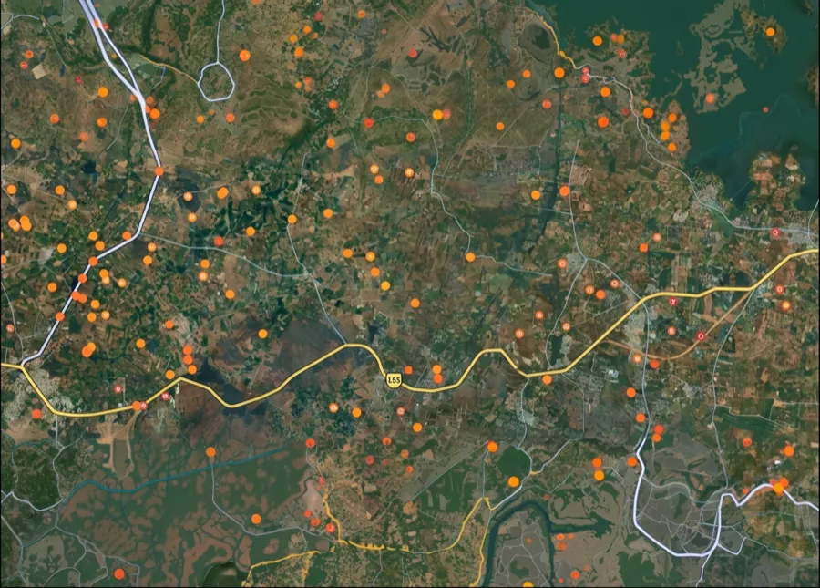
The 1acre map for Gujarat is coming soon. Get notified on WhatsApp when it launches — you'll be able to tap any location and see the survey number instantly, then cross-check it against government portals to verify ownership and plot boundaries.
The Gujarat survey-number map is coming soon
We're building the interactive survey-number map for Gujarat. Get notified on WhatsApp — send us your district and we'll message you the moment it goes live.
 Get support
One plot, many names — what ‘survey number’ means here
1. Survey Number:
The unique identifier assigned to a land parcel by the revenue department. It appears in your 7/12 and is the primary way land is identified in revenue records.
2. Block Number:
After land consolidation or re-surveying, parcels may be assigned a block number. Both the survey number and block number may appear in your RoR.
3. 7/12 (VF-7) Extract:
The main record of rights document showing ownership, survey number, extent, boundaries, and rights. Also called Utara in local usage.
4. 8A Extract:
An auxiliary record that lists mutations (ownership transfers) of the land. Critical for verifying transfer history.
5. Bhu Naksha:
The government's geometric map showing field/plot boundaries. Synced with survey records to confirm location and extent.
Which record, which portal — for what
Different tasks need different records and portals. Here is the map.
What you want to do
Record / term
Where — official & free
Find a survey number by location
—
On the 1acre map — coming soon for this state
Get 7/12 & 8A records
Survey Number
AnyROR (anyror.gujarat.gov.in) — enter your name, village, and survey number
View field boundaries
Survey Number
Bhu Naksha (bhunakshaanyror.gujarat.gov.in) — visual confirmation of extent & shape
Verify ownership from mutations
Survey Number
AnyROR — check 8A extract for full transfer history
What you want to do
Record / term
Where — official & free
Find a survey number by location
—
On the 1acre map — coming soon for this state
Get 7/12 & 8A records
Survey Number
AnyROR (anyror.gujarat.gov.in) — enter your name, village, and survey number
View field boundaries
Survey Number
Bhu Naksha (bhunakshaanyror.gujarat.gov.in) — visual confirmation of extent & shape
Verify ownership from mutations
Survey Number
AnyROR — check 8A extract for full transfer history
Survey numbers are the source of truth. Always verify against both AnyROR and Bhu Naksha to confirm boundaries and check for any encumbrances.
Go deeper — free Gujarat record guides
Primary reference
AnyROR (anyror.gujarat.gov.in) — official free portal for 7/12, 8A, and survey records
Map reference
Bhu Naksha (bhunakshaanyror.gujarat.gov.in) — government field boundaries and plot visualization
Key identifier
Survey number (also called 'Field Number' or 'Plot Number' locally)
Additional records
7/12 + 8A together form the complete land record. 7/12 = rights, extent, boundaries. 8A = mutation history.
Note: free & official
All records are free on government portals. Do not pay private agents or 'map consultants' for basic extracts.
 Need Help?Get support from our team regarding any issues with the survey number