Overview
In Jammu & Kashmir, the cadastral survey uses terms like Khasra (field/plot number), Khewat (register of rights holders), and Girdawari (revenue inspection record). These three documents together form the RoR (Record of Rights), which is the authoritative proof of land ownership. The Khasra number is what links your plot to the revenue system.
Jammu & Kashmir has been digitizing land records through initiatives like 'Aapki Zameen Aapki Nigrani' (Your Land, Your Care). However, digitization is ongoing, especially in remote areas. The UT Revenue Department and district land record offices remain the primary source. 1acre is working on map-based survey number search for J&K—coming soon.
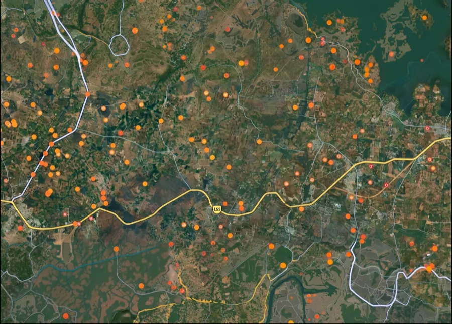
The Jammu & Kashmir survey-number map is coming soon
We're building the interactive survey-number map for Jammu & Kashmir. Get notified on WhatsApp — send us your district and we'll message you the moment it goes live.
 Get support
One plot, many names — what ‘survey number’ means here
1. Khasra:
The field or plot number assigned during the cadastral survey; the unique identifier for a parcel of land in the revenue register.
2. Khewat:
The register of rights holders; shows the name(s) of person(s) holding rights over a plot and the nature of those rights (ownership, tenancy, etc.).
3. Girdawari:
The annual revenue inspection record; documents occupancy, cultivation status, and current use of the land.
4. RoR (Record of Rights):
The compiled document containing Khasra, Khewat, and Girdawari; the authoritative proof of land ownership and rights in J&K.
Which record, which portal — for what
Different tasks need different records and portals. Here is the map.
What you want to do
Record / term
Where — official & free
Find a survey number by location
—
On the 1acre map — coming soon for this area
Identify your Khasra number
UT Revenue Department / Tehsil office
Based on village name and approximate location
Obtain your RoR (Record of Rights)
District Land Records office / Revenue Department
Includes Khasra, Khewat, Girdawari; proof of ownership
Verify boundaries and ownership
Tehsil office with revenue map (Naksha)
Cross-check plot boundaries and recorded rights-holder
What you want to do
Record / term
Where — official & free
Find a survey number by location
—
On the 1acre map — coming soon for this area
Identify your Khasra number
UT Revenue Department / Tehsil office
Based on village name and approximate location
Obtain your RoR (Record of Rights)
District Land Records office / Revenue Department
Includes Khasra, Khewat, Girdawari; proof of ownership
Verify boundaries and ownership
Tehsil office with revenue map (Naksha)
Cross-check plot boundaries and recorded rights-holder
The UT Revenue Department is the official source for land records in Jammu & Kashmir. Visit your district Land Records office or Tehsil (block) office for RoR and survey documents. Digitization is ongoing; some records may still be paper-based.
Go deeper — free Jammu & Kashmir record guides
Coverage
All surveyed land in Jammu & Kashmir has a Khasra number; RoR records are maintained by the UT Revenue Department.
Free to access
Land records are public documents; RoR copies are available free or at minimal cost from Revenue Department offices.
Avoid lookalikes
Don't confuse Khasra (plot number) with Khewat (rights holder name) or other record types. Always request the full RoR.
Authority
UT Revenue Department / District Land Records Office / Tehsil Office (Khasra and RoR records)
 Need Help?Get support from our team regarding any issues with the survey number