Overview
Ladakh's land record system is based on cadastral surveys that assign Khasra (plot) numbers to each parcel. However, unlike more developed regions, Ladakh has limited online access to these records. Most surveys are maintained in paper form or are being gradually digitized. The UT Revenue Department holds the authoritative records.
Ladakh's terrain, climate, and population density mean that many land parcels have sparse documentation compared to other Indian regions. If you own land in Ladakh, you'll likely need to visit the Revenue Department office in person. 1acre is building map-based survey search for Ladakh—coming soon.
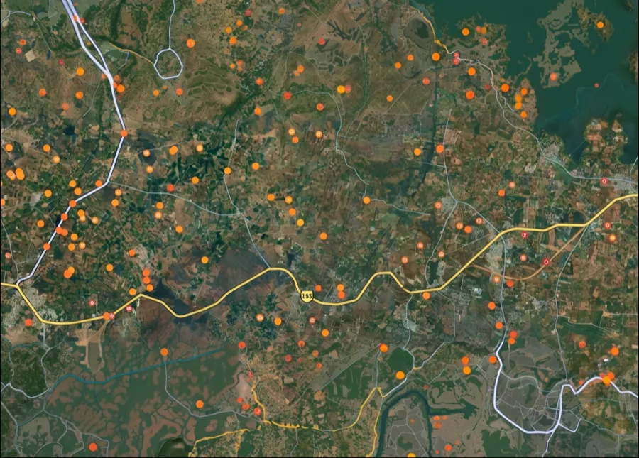
The Ladakh survey-number map is coming soon
We're building the interactive survey-number map for Ladakh. Get notified on WhatsApp — send us your district and we'll message you the moment it goes live.
 Get support
One plot, many names — what ‘survey number’ means here
1. Khasra Number:
The cadastral field or plot number assigned during survey; the unique identifier for a parcel in Ladakh's revenue system.
2. Cadastral Survey:
The systematic mapping and measurement of land parcels; in Ladakh, surveys are often older and subject to ongoing updates.
3. Revenue Record:
The official document maintained by the UT Revenue Department showing ownership, area, and boundaries of surveyed land.
4. Naksha (Revenue Map):
The official map showing surveyed plots in a region; used for boundary verification and dispute resolution.
Which record, which portal — for what
Different tasks need different records and portals. Here is the map.
What you want to do
Record / term
Where — official & free
Find a survey number by location
—
On the 1acre map — coming soon for this area
Contact your village Revenue office
UT Revenue Department / Local Tehsil
Provide village name and approximate location
Request Khasra record and map
District Land Records office (Leh or Kargil)
May be paper-based; allow time for retrieval
Verify boundaries in person if needed
Revenue office + site visit
Ladakh's terrain may require on-ground boundary verification
What you want to do
Record / term
Where — official & free
Find a survey number by location
—
On the 1acre map — coming soon for this area
Contact your village Revenue office
UT Revenue Department / Local Tehsil
Provide village name and approximate location
Request Khasra record and map
District Land Records office (Leh or Kargil)
May be paper-based; allow time for retrieval
Verify boundaries in person if needed
Revenue office + site visit
Ladakh's terrain may require on-ground boundary verification
Ladakh's land records are maintained by the UT Revenue Department. Online access is limited; visit the district office (Leh or Kargil) or local Tehsil in person. Records are often paper-based, so expect longer processing times.
Go deeper — free Ladakh record guides
Coverage
All surveyed land in Ladakh has a Khasra number in UT Revenue records; not all are yet digitized.
Free to access
Land records in Ladakh are public documents; Revenue Department provides them free or at minimal cost.
Avoid lookalikes
Don't confuse Khasra number with tax assessment IDs. Always verify at the official Revenue office.
Authority
UT Revenue Department / District Land Records Office (Leh or Kargil) / Local Tehsil Office
 Need Help?Get support from our team regarding any issues with the survey number