Overview
Mizoram's land is managed through District Councils and recorded via Land Settlement Certificates (LSC or 'Pass'). The state uses plot numbers and local tenure documents rather than conventional survey numbers. Land records are maintained at the village level, block offices, and District Council, with limited online access.
The 1acre map is coming soon to Mizoram, making land discovery transparent and verified. Learn how your property is identified locally and how to access official records.
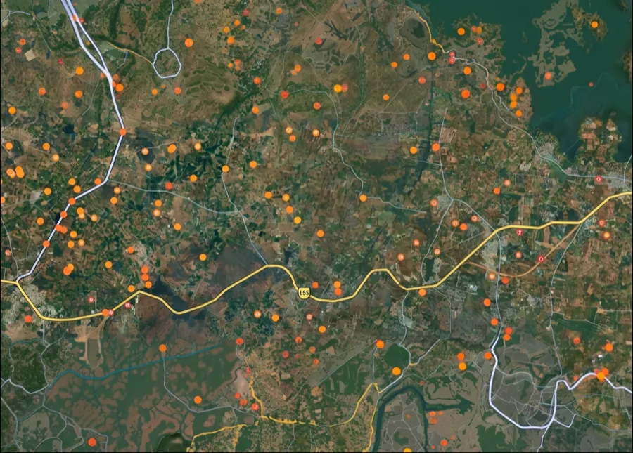
The Mizoram survey-number map is coming soon
We're building the interactive survey-number map for Mizoram. Get notified on WhatsApp — send us your district and we'll message you the moment it goes live.
 Get support
One plot, many names — what ‘survey number’ means here
1. Land Settlement Certificate (LSC / Pass):
A document certifying your right to a plot of land issued by the District Council. It serves as the primary proof of title in Mizoram.
2. Plot Number:
A sequential identifier for a plot within a block or district, recorded in the District Council's land register and on the cadastral map.
3. District Council:
The governing body responsible for managing land, local regulations, and issuing LSCs in Mizoram.
4. Dag / Parcel:
A grouped division of land recorded on the local cadastral map; can include one or more plots with distinct plot numbers.
Which record, which portal — for what
Different tasks need different records and portals. Here is the map.
What you want to do
Record / term
Where — official & free
Find a survey number by location
—
On the 1acre map — coming soon for this state
Locate your plot by plot number
District Council land register
Block office or District Council office
Verify LSC (Land Settlement Certificate)
LSC / Pass document
Village headman, block office, or District Council
Check title and boundaries
Cadastral map + revenue records
District Council office (physical map and register)
What you want to do
Record / term
Where — official & free
Find a survey number by location
—
On the 1acre map — coming soon for this state
Locate your plot by plot number
District Council land register
Block office or District Council office
Verify LSC (Land Settlement Certificate)
LSC / Pass document
Village headman, block office, or District Council
Check title and boundaries
Cadastral map + revenue records
District Council office (physical map and register)
Mizoram uses plot numbers and LSCs rather than survey numbers. Records are kept manually at village, block, and district levels. Online access is very limited; contact the District Council office directly.
Go deeper — free Mizoram record guides
Coverage
Mizoram records held at District Council, block, and village levels; no centralized online portal.
Free Access
District Council and block offices issue free certified copies of LSCs and land records on request.
Avoid Lookalikes
Always verify LSCs directly with the District Council. Ensure documents bear the official seal and signature of the issuing authority.
 Need Help?Get support from our team regarding any issues with the survey number