Overview
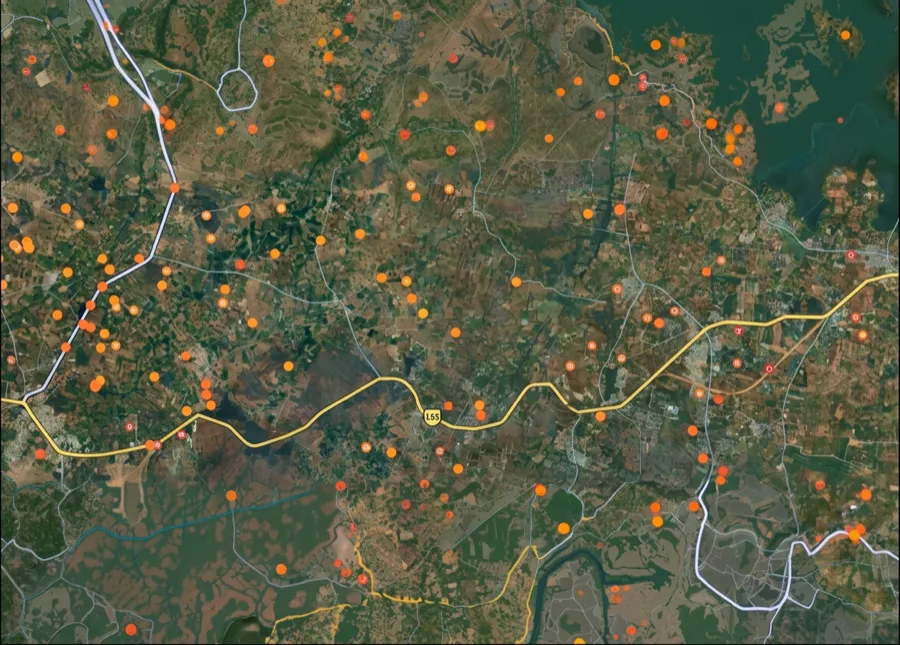
In Punjab, every piece of agricultural land is identified by its khasra number (the field number) within a village, held in a khewat (the ownership holding) and recorded in the Jamabandi, the record of rights. Searches for Punjab survey numbers, Bhulekh Punjab or Punjab Bhunaksha lead to the same records: Punjab calls its online land record the Jamabandi, and it is run for the Revenue Department by the Punjab Land Records Society (PLRS). PLRS was set up by the Government of Punjab under the Societies Registration Act, 1860, to computerise land records and deliver them online and through Sukhmani Centres. The state has 23 districts, 93 tehsils and 87 sub-tehsils, and each village record sits with a Patwari. The Jamabandi portal states that the digital record of rights is available from 2002. What most buyers call the PLRS map is really two different things. The Jamabandi tells you who owns which khasra and in what share. The village map, called the Shajra, and the plot extract from it, called the Tatima or Aks Shajra, show where that khasra lies on the ground. As of October 2026, the PLRS website's Punjab Maps (GIS) page reads 'under construction' and the Jamabandi portal has no cadastral map viewer, so the map still comes from the Patwari. This page explains how to view the Jamabandi and PLRS records online, what the One Map Punjab portal shows, and how to get a land map by khasra number.
How to view the PLRS map in Punjab
There is no single online PLRS map for a whole village. You view the record online on the Jamabandi portal, run by PLRS, and get the map extract from the Patwari. Viewing the Jamabandi needs no office visit.
How to view the PLRS map in Punjab
Step
What to do
What you get
1
Open jamabandi.punjab.gov.in and choose View Jamabandi
The record of rights search
2
Pick the search type: owner name, khewat number, khasra number or khatouni number
The search that fits the details you have
3
Select district, tehsil, village and year, and choose the current or previous Jamabandi period
The right village record
4
Enter the number or name and open the record
Owners, shares, khewat and khasra numbers, area and cultivation details
5
Check View Mutation and View Roznamcha for the same village
Recent changes not yet in the Jamabandi
6
Apply to the Patwari for the Tatima of the khasra
The measured sketch of the plot against the village Shajra
Step
What to do
What you get
1
Open jamabandi.punjab.gov.in and choose View Jamabandi
The record of rights search
2
Pick the search type: owner name, khewat number, khasra number or khatouni number
The search that fits the details you have
3
Select district, tehsil, village and year, and choose the current or previous Jamabandi period
The right village record
4
Enter the number or name and open the record
Owners, shares, khewat and khasra numbers, area and cultivation details
5
Check View Mutation and View Roznamcha for the same village
Recent changes not yet in the Jamabandi
6
Apply to the Patwari for the Tatima of the khasra
The measured sketch of the plot against the village Shajra
Use the khasra numbers from step 4 for the Patwari application, and keep both documents together: the Jamabandi says who owns the land, and the Tatima shows where it is. If the khasra numbers on the two do not match, they describe different land. Stop and ask the Tehsildar to reconcile them before paying any advance.
One Map Punjab portal: what it shows and how it differs from PLRS
One Map Punjab (onemap.punjab.gov.in) is a GIS portal of the Punjab Municipal Infrastructure Development Company (PMIDC), developed by the Geo-Spatial Technology and Services Division of the National Informatics Centre. PMIDC is a company of the Department of Local Government, which works with Punjab's urban local bodies. The portal has Citizen, Department and Dashboard sections, and PMIDC offers Android apps for property editing and geotagging and for green plantation geotagging. That makes One Map Punjab a municipal map, not the revenue record of khasra ownership. For agricultural land, PLRS and the Patwari remain the source.
One Map Punjab portal: what it shows and how it differs from PLRS
Question
One Map Punjab portal
PLRS Jamabandi portal
Patwari
Run by
PMIDC, Department of Local Government
PLRS, Revenue Department
Revenue Department, tehsil
Main use
Urban property and municipal GIS data
Ownership, shares, mutation, Roznamcha
Village Shajra map and Tatima extract
Search by khasra
Not its purpose
Yes, khasra number search
Yes, on application
Proof of ownership
No
Record of rights; certified copy for formal use
Sketch only, not ownership
Question
One Map Punjab portal
PLRS Jamabandi portal
Patwari
Run by
PMIDC, Department of Local Government
PLRS, Revenue Department
Revenue Department, tehsil
Main use
Urban property and municipal GIS data
Ownership, shares, mutation, Roznamcha
Village Shajra map and Tatima extract
Search by khasra
Not its purpose
Yes, khasra number search
Yes, on application
Proof of ownership
No
Record of rights; certified copy for formal use
Sketch only, not ownership
Use One Map Punjab to understand a property inside municipal limits. For rural and agricultural land, or any plot described by khasra and khewat numbers, start with the Jamabandi portal and the Patwari.
Punjab land record map by khasra number: Jamabandi, Shajra and Tatima
Finding a Punjab land map by khasra number takes three records, read side by side.
1. Confirm the khasra on the Jamabandi. Use the khasra number search on jamabandi.punjab.gov.in for the district, tehsil and village. Note the khewat number, every owner and share, and the area. 2. Get the Tatima from the Patwari. Apply at the Patwari circle office with the khasra number, village and tehsil, a Jamabandi printout and your ID. The Tatima, also called Aks Shajra, is drawn from the village Shajra and shows the khasra's boundaries and the neighbouring khasras. 3. Walk the land with the Tatima. Match each side, the neighbouring khasras and any path or watercourse to what is on the ground.
Punjab land record map by khasra number: Jamabandi, Shajra and Tatima
Record
Answers
Cannot tell you
Jamabandi
Who owns the khasra, in what share
Where the boundary lies
Tatima (Aks Shajra)
Shape, sides, neighbouring khasras
Who owns it now
Mutation and Roznamcha
Recent changes and pending entries
The plot's shape
Site visit
What is actually on the ground
What the law recognises
Record
Answers
Cannot tell you
Jamabandi
Who owns the khasra, in what share
Where the boundary lies
Tatima (Aks Shajra)
Shape, sides, neighbouring khasras
Who owns it now
Mutation and Roznamcha
Recent changes and pending entries
The plot's shape
Site visit
What is actually on the ground
What the law recognises
Watch for the common Punjab gap: family land divided by agreement but not partitioned in the record. If a seller offers part of an undivided khasra, ask for the recorded partition first. The Jamabandi portal now accepts applications for oral or family partition, which shows the state treats unrecorded splits as a problem worth fixing. Where a boundary is disputed, apply to the Tehsildar for demarcation before you pay.
Jamabandi download and other Punjab land record services
The Jamabandi portal (jamabandi.punjab.gov.in) is the official online counter for Punjab land records. As of October 2026 it lists these services.
Jamabandi download and other Punjab land record services
Service
What it is for
View Jamabandi
Record of rights by owner name, khewat, khasra or khatouni number
View Mutation
Mutation (intkal) entries by mutation number
View Roznamcha
Daily register entries by rapat or waqiati number
View Registered Deed
Deeds registered against the land
Jamabandi on WhatsApp
Request the Jamabandi to be sent to your phone
Fard Request Status
Track a request for a fard (certified copy)
Mutation of inheritance; mutation on the basis of a deed
Apply for a mutation online
Oral or family partition
Apply under the state's scheme for partition in 30 days
Fard badar; Rapat
Apply for record corrections and reports
MGMN Final Map-2 and Map-3 data
Village-wise property survey data: unique property number, occupant, total, built-up and open area
Service
What it is for
View Jamabandi
Record of rights by owner name, khewat, khasra or khatouni number
View Mutation
Mutation (intkal) entries by mutation number
View Roznamcha
Daily register entries by rapat or waqiati number
View Registered Deed
Deeds registered against the land
Jamabandi on WhatsApp
Request the Jamabandi to be sent to your phone
Fard Request Status
Track a request for a fard (certified copy)
Mutation of inheritance; mutation on the basis of a deed
Apply for a mutation online
Oral or family partition
Apply under the state's scheme for partition in 30 days
Fard badar; Rapat
Apply for record corrections and reports
MGMN Final Map-2 and Map-3 data
Village-wise property survey data: unique property number, occupant, total, built-up and open area
For a Jamabandi download, view the record and save or print it for your own checks. For a bank, a court or registration, ask for a certified fard: an online view is a working copy, not certified proof. Before you pay any advance, also check the mutation and Roznamcha entries for the same khasra, because a sale or charge can be pending before it reaches the Jamabandi.
Data Sources & Verification
This page is based on the Punjab government's own land record portals, read in October 2026. Where a fact could not be confirmed from an official source, it was left out, and no fee, timeline or map coverage figure is given that the official portals do not publish.
* Punjab Land Records Society (plrs.org.in): PLRS's role, legal basis, Sukhmani Centres, districts, tehsils and sub-tehsils * PLRS, Punjab Maps (GIS) page: status of the PLRS map service (under construction) * Jamabandi portal (jamabandi.punjab.gov.in): search types, services list, digital record of rights from 2002, partition scheme, last update date * Jamabandi portal, MGMN Final Map-3 data page: fields shown in the property survey data * One Map Punjab (onemap.punjab.gov.in): who runs the portal, its sections and apps
Primary reference
PLRS Jamabandi (jamabandi.punjab.gov.in) — official free portal for land ownership and Khasra records
Key identifier
Khasra number — the unique parcel ID in Jamabandi; use this to search online
Ownership summary
Khewat — groups all Khasra numbers owned by one person/family in a village
Ownership certificate
Tatima — extracted from Jamabandi, serves as proof of sole ownership for a Khasra in a revenue year
Map reference
Geometric sketch available on PLRS — shows field boundaries and extent corresponding to Khasra number
Note: free & official
All records are free on government portal. Do not pay private agents or 'consultants' for extracts.