Overview
Dadra & Nagar Haveli and Daman & Diu have land record systems influenced by their proximity to Gujarat and Maharashtra. In parts of the UT, the 7/12 record (similar to Maharashtra/Gujarat) is used; in other areas, the system follows traditional survey numbers. The UT Revenue Department maintains all records through the e-Dhara platform for digital access.
The UT has invested in digitization, making land records more accessible than many other regions. You can often search by village and landholder name. 1acre is building map-based survey search for this UT—coming soon.
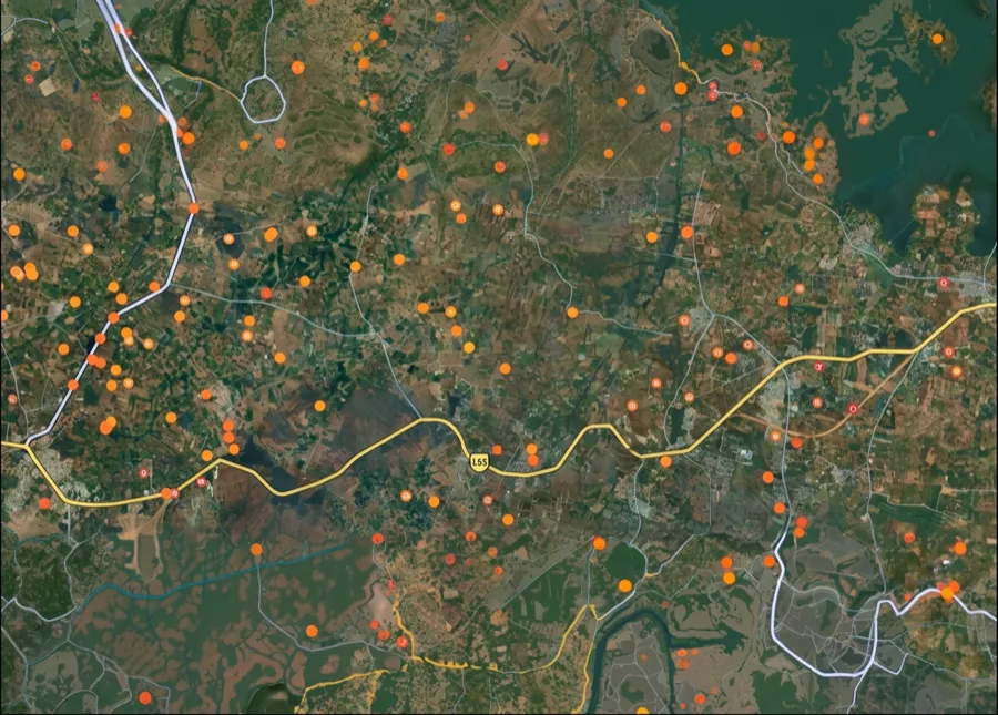
The Dadra & Nagar Haveli and Daman & Diu survey-number map is coming soon
We're building the interactive survey-number map for Dadra & Nagar Haveli and Daman & Diu. Get notified on WhatsApp — send us your district and we'll message you the moment it goes live.
 Get support
One plot, many names — what ‘survey number’ means here
1. Survey Number:
The unique identifier for a plot in the cadastral survey; used in areas following traditional record systems.
2. 7/12 Record:
The standard record in some areas showing plot number (7) and rights holder (12); influenced by Gujarat and Maharashtra systems.
3. e-Dhara:
The digital platform for land records in Dadra & Nagar Haveli and Daman & Diu; provides online access to property information.
4. Revenue Map (Naksha):
The official map showing surveyed plot boundaries; used to verify land extent and dispute resolution.
Which record, which portal — for what
Different tasks need different records and portals. Here is the map.
What you want to do
Record / term
Where — official & free
Find a survey number by location
—
On the 1acre map — coming soon for this area
Search e-Dhara platform online
UT Revenue Department / e-Dhara portal
Search by village name and landholder; free access
Request 7/12 or survey record
UT Revenue Department / Taluk office
Provides plot details and rights holder information
Verify boundaries on revenue map
Taluk office / Revenue Department
Cross-check extent and neighboring plots
What you want to do
Record / term
Where — official & free
Find a survey number by location
—
On the 1acre map — coming soon for this area
Search e-Dhara platform online
UT Revenue Department / e-Dhara portal
Search by village name and landholder; free access
Request 7/12 or survey record
UT Revenue Department / Taluk office
Provides plot details and rights holder information
Verify boundaries on revenue map
Taluk office / Revenue Department
Cross-check extent and neighboring plots
The UT Revenue Department manages land records through the e-Dhara platform, which offers digital access. You can often search online by village and landholder name. For detailed records or disputes, visit the Taluk office or Revenue Department.
Go deeper — free Dadra & Nagar Haveli and Daman & Diu record guides
Coverage
All registered land in Dadra & Nagar Haveli and Daman & Diu has a survey number or 7/12 record in UT Revenue Department records.
Free to access
Land records are public documents; the UT provides them free through e-Dhara or at minimal cost from Taluk offices.
Avoid lookalikes
Verify your record type: survey number or 7/12. Always cross-check with the official Revenue Department.
Authority
UT Revenue Department / e-Dhara platform (online) / Taluk office (physical records and maps)
 Need Help?Get support from our team regarding any issues with the survey number