Survey Numbers in Chandigarh


Survey Numbers Chandigarh Preview
Access Chandigarh Survey Numbers on the map forFREE
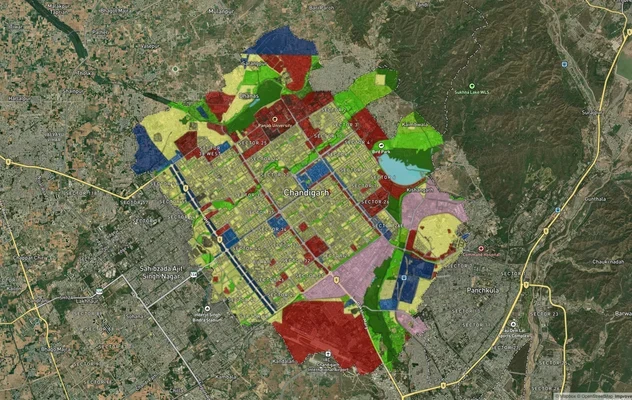
Every plot in Chandigarh, with its number, drawn on a satellite map.
Overview
Chandigarh's land system is split between urban planned areas (managed by the Chandigarh Estate Office) and rural periphery villages (under Khasra/Jamabandi records). In urban Chandigarh, plots are typically identified by sector and plot number rather than traditional survey numbers. In rural areas, the system mirrors Punjab and Haryana, using Khasra (field number) and Jamabandi (occupancy register).
For property transactions, the relevant document depends on location: urban properties use Estate Office records and mutation documents, while rural land uses traditional Khasra and Jamabandi. 1acre is building map-based search for Chandigarh—coming soon.
The Chandigarh survey-number map is coming soon
We're building the interactive survey-number map for Chandigarh. Get notified on WhatsApp — send us your district and we'll message you the moment it goes live.
One plot, many names — what ‘survey number’ means here
Plot Number (Urban)
In urban Chandigarh, plots are identified by sector and number (e.g., Sector 17, Plot 45) rather than survey numbers; the Estate Office maintains official records.
Khasra Number (Rural)
The field or plot number in Chandigarh's rural periphery; assigned during cadastral survey and used in revenue records.
Jamabandi
The occupancy register in rural areas, showing rights holders and their interests in the land.
Mutation
The official update to land records when ownership changes; required for urban property transfers in Chandigarh.
Which record, which portal — for what
Different tasks need different records and portals. Here is the map.
What you want to do
Record / term
Where — official & free
Find a survey number by location
—
On the 1acre map — coming soon for this area
Urban Chandigarh: Check Estate Office records
Chandigarh Estate Office
Identify sector and plot number; verify mutation documents
Rural periphery: Obtain Khasra and Jamabandi
UT Revenue Department / Tehsil office
Visit with village name and location details
Register mutation for ownership changes
Estate Office (urban) or Revenue office (rural)
Legal requirement for property transactions
What you want to do
Record / term
Where — official & free
Find a survey number by location
—
On the 1acre map — coming soon for this area
Urban Chandigarh: Check Estate Office records
Chandigarh Estate Office
Identify sector and plot number; verify mutation documents
Rural periphery: Obtain Khasra and Jamabandi
UT Revenue Department / Tehsil office
Visit with village name and location details
Register mutation for ownership changes
Estate Office (urban) or Revenue office (rural)
Legal requirement for property transactions
Chandigarh has two land record systems: the Chandigarh Estate Office manages urban planned areas, while the UT Revenue Department handles rural periphery records. Contact the relevant office based on your property location.
Go deeper — free Chandigarh record guides
Survey map for Chandigarh
Looking for a specific plot's survey number in Chandigarh? Message us on WhatsApp and we'll help you find it.
Was this layer helpful?
Anything wrong, outdated, or missing we want to hear it.
For Land Owners & Agents
Looking to sell your land in Chandigarh?
I want to sell my land in Chandigarh
10:32
Plz share your Land's location - We will list it on 1acre map, for Free.
10:32


For Land Buyers
Browse all verified lands & plots in Chandigarh
Every listing goes through our Preliminary Verification Process.