Overview
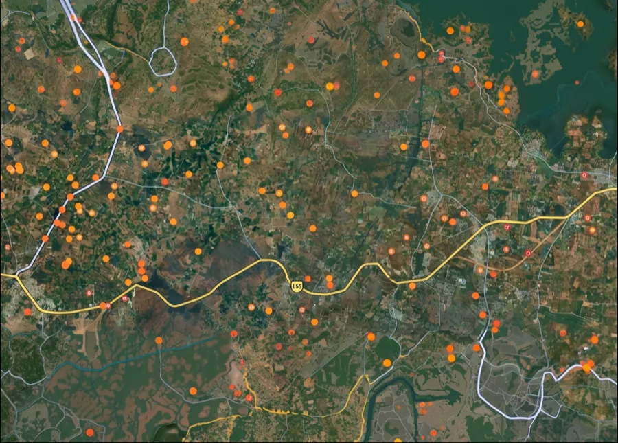
In Andhra Pradesh, a plot's survey number sits in the Adangal and 1-B (Record of Rights) on the state's Meebhoomi portal. Zoom to your land on the map above and its survey-number boundary appears — you don't need to know the number to start.
Below: what the survey number is actually called in AP, which official portal to use for what, and how the ongoing resurvey affects your number.
One plot, many names — which one is the ‘survey number’?
1. Survey Number (సర్వే నంబర్):
The unique ID for a parcel in the revenue records. Sub-divisions are written like 45/2 when land is split.
2. Adangal (అడంగల్):
The village land record / RoR — it lists the survey number, extent, pattadar (owner) and crop. This is where your survey number is recorded.
3. 1-B (ROR):
The ownership record tied to the survey number, shown alongside the Adangal on Meebhoomi.
4. Pattadar Passbook (పట్టాదారు పాస్బుక్):
The title passbook issued to the owner — proof of ownership for a survey number.
5. FMB (Field Measurement Book):
The cadastral sketch showing the parcel's boundary shape.
6. Meebhoomi vs Webland:
Meebhoomi is the public citizen portal; Webland is the department's back-end land-records system.
Which record, which portal — for what
Different tasks need different records and portals. Here is the map.
What you want to do
Record / term
Where — official & free
Find a survey number by location
—
The 1acre map on this page
Check land details by owner or survey no.
Adangal · 1-B
Meebhoomi: meebhoomi.ap.gov.in
Prove ownership
Pattadar Passbook
Meebhoomi / MeeSeva
See the boundary / village map
FMB
Meebhoomi
Get a certified copy (registration, loan, court)
Adangal / 1-B
MeeSeva
What you want to do
Record / term
Where — official & free
Find a survey number by location
—
The 1acre map on this page
Check land details by owner or survey no.
Adangal · 1-B
Meebhoomi: meebhoomi.ap.gov.in
Prove ownership
Pattadar Passbook
Meebhoomi / MeeSeva
See the boundary / village map
FMB
Meebhoomi
Get a certified copy (registration, loan, court)
Adangal / 1-B
MeeSeva
Andhra Pradesh is re-surveying all land under the Jagananna Saswatha Bhoomi Hakku (Bhu Hakku) resurvey — survey numbers in resurveyed villages can be renumbered, so always cross-check the latest Adangal.
The one thing the government portal can't do
Meebhoomi asks for the survey number, owner name or account before it shows you anything. 1acre works the other way round: start from the land. Search a village or drop a pin on the plot and the survey-number boundary appears on the map. Then take that number to the official portal for the certified record. Map-first is the search a land buyer actually needs — and no state portal offers it.
Go deeper — free Andhra Pradesh record guides
 Get support
Primary reference
Andhra Pradesh Meebhoomi (Land Records) — meebhoomi.ap.gov.in
Land administration authority
CCLA Andhra Pradesh — ccla.ap.gov.in
Certified copies
AP MeeSeva — ap.meeseva.gov.in
Coverage
All revenue villages, Andhra Pradesh (26 districts)
Data format
Vector (GeoJSON) + Raster Tiles
Last verified
July 2026
Note
The official portal is free. Avoid look-alike sites that charge a fee to check land records.
 Need Help?Get support from our team regarding any issues with the survey number