
Port Blair Bridge
Overview
Port Blair Chatham Bridge land records work genuinely differently from almost anywhere else covered in this series, and that difference matters most right here, at the crossing that has physically linked Port Blair's main island to Chatham Island since 1930. The bridge itself is a genuine piece of island history, first built from timber cut at the neighbouring sawmill and rebuilt since then in concrete, and it remains today the only road link to Chatham Island's port and sawmill area on the other side of the water. Land sitting near it falls inside Port Blair municipal limits, and that municipal boundary genuinely changes how ownership itself works here: the territory's own Record of Rights, called Form-F, is checked through the Dweep Bhoomi portal rather than a Bhulekh-style system familiar from mainland states, and a wide stretch of the surrounding territory is either government forest or tribal reserve land that can never be privately sold under any circumstance at all. This guide walks through exactly what is buildable land here and what genuinely is not, before you look any further at a specific plot near this crossing.
Regulatory Red Flags Near Port Blair Chatham Bridge
Start with the single basic fact that genuinely shapes every land decision across these islands: Andaman and Nicobar is roughly 86 percent forest-covered, one of the highest such shares found anywhere in India. Reserved Forests and Protected Forests cannot be privately owned under any circumstance whatsoever, and any sale attempted on classified forest land is legally void from the very moment it is signed, regardless of how the transaction is dressed up on paper. Forest land can only ever be released from that classification by the Central Government itself, a process that runs through the Ministry of Environment, Forest and Climate Change and genuinely takes years to complete, not months. Land sitting right around Chatham Island itself sits close to working forest and active port infrastructure, so a Forest Status Certificate obtained from the A&N Islands Forest Department is genuinely worth confirming for any parcel that is not clearly located inside the older, already-settled part of Port Blair town proper.
Ownership itself is checked through Form-F, the territory's own version of a Record of Rights, viewable free on the Dweep Bhoomi portal or requested directly at the local Tehsildar office using the survey number and village name together. Two specific land classifications will genuinely end a purchase before it even starts. Tribal land and what the local administration calls Set Apart land cannot legally be sold to a private buyer under any condition whatsoever, and if Form-F shows either classification for a given parcel, no amount of local assurance from a seller changes that underlying fact. This particular rule traces directly back to the Andaman and Nicobar Islands Protection of Aboriginal Tribes Regulation, and outside commentators have already flagged real, documented cases of land being advertised for private resort or plot development in ways that run directly against the Regulation's original intent. Beyond ownership status alone, buying land inside Port Blair municipality also genuinely means clearing the Port Blair Municipal Council's house tax first and obtaining a No Dues Certificate, since an unpaid tax record sitting quietly against the property will block registration of the sale outright, no exceptions.
Anyone planning to actually build here also needs to separate two genuinely different approvals that buyers commonly confuse with one another. Land Diversion, the local name for what most of India calls NA conversion, changes agricultural land to residential, commercial, or industrial use and runs through Form A: the Sub-Divisional Officer or Tehsildar decides cases under 500 square metres directly, while anything larger than that goes instead to a dedicated Land Use Committee for review. A completed Land Diversion order, importantly, does not by itself confirm the land is genuinely free of coastal restrictions either. Given how much of Port Blair's shoreline, including the harbour area around Chatham and Haddo specifically, sits within regulated coastal distance, construction is also governed entirely separately by CRZ rules under the 2019 Coastal Regulation Zone notification, with No Development Zone distances that apply regardless of whatever the Land Diversion order itself already says on paper.
Regulatory Red Flags Near Port Blair Chatham Bridge
Land Record Term
What It Proves
Needs Separate Approval?
Blocks Registration Without It?
Commonly Misused?
Form-F (Record of Rights)
Current recorded owner, area, and land classification
No
Yes
Mutation gaps can leave a previous owner's name showing
Forest Status Certificate
Confirms land is not classified Reserved or Protected Forest
Issued by Forest Department
Critical outside settled Port Blair areas
Frequently skipped for land that looks developed but isn't cleared
Tribal / Set Apart classification
Shows land cannot legally be sold to a private buyer
Not applicable, sale itself is void
Yes, absolute
Sellers sometimes omit this status entirely
PBMC No Dues Certificate
Confirms house tax is paid up to date
Issued by Port Blair Municipal Council
Yes
Buyers often assume tax status without checking
Land Diversion (Form A)
Approval to convert agricultural land to another use
Yes, SDO or Land Use Committee
Yes, for construction
CRZ clearance is a separate step, not covered by this alone
Land Record Term
What It Proves
Needs Separate Approval?
Blocks Registration Without It?
Commonly Misused?
Form-F (Record of Rights)
Current recorded owner, area, and land classification
No
Yes
Mutation gaps can leave a previous owner's name showing
Forest Status Certificate
Confirms land is not classified Reserved or Protected Forest
Issued by Forest Department
Critical outside settled Port Blair areas
Frequently skipped for land that looks developed but isn't cleared
Tribal / Set Apart classification
Shows land cannot legally be sold to a private buyer
Not applicable, sale itself is void
Yes, absolute
Sellers sometimes omit this status entirely
PBMC No Dues Certificate
Confirms house tax is paid up to date
Issued by Port Blair Municipal Council
Yes
Buyers often assume tax status without checking
Land Diversion (Form A)
Approval to convert agricultural land to another use
Yes, SDO or Land Use Committee
Yes, for construction
CRZ clearance is a separate step, not covered by this alone
Chatham Bridge's own long history is a genuinely useful reminder of just how much can change around a single, well-known crossing point over time. The original span was built using timber cut directly at the mill it still serves, by labour originally drawn from the nearby Cellular Jail, and it has since been fully rebuilt in concrete while remaining the sole road access to the island even today. A landmark this old, and genuinely this central to local infrastructure, tends to draw exactly the kind of speculative land interest that the Aboriginal Tribes Regulation and CRZ rules were specifically written to control. Treat proximity to a well-known crossing like this one as a genuine reason to check ownership status considerably more carefully, never less.
Growth Corridors Around Port Blair and Chatham Island
Port Blair's own development pipeline right now is genuinely large for a territory of this modest size and population. A roughly 33,500 crore rupee development plan is currently underway across the islands as a whole, with the single biggest share of that, around 6,600 crore rupees, going specifically toward air connectivity improvements. That figure includes a proposed new greenfield airport for Port Blair itself, sitting alongside the recently expanded terminal at Veer Savarkar International Airport, built specifically to handle steadily rising tourist traffic year over year. A further 1,433 crore rupees is separately earmarked for developing and upgrading ports around Port Blair, on top of a distinct approach-bridge and jetty improvement project already formally listed for Chatham Island itself, aimed specifically at improving the existing vehicle ferry connection with genuinely better parking facilities alongside it. A submarine optical fibre cable connecting Chennai to Port Blair has already gone live too, cutting the territory's long-standing historic dependence on satellite links for both internet and phone connectivity, with a second cable to Kolkata reportedly still in the pipeline behind it.
Two specific localities near this bridge sit at genuinely different points on that same overall growth curve. Chatham Island itself remains firmly anchored by its sawmill, one of Asia's oldest continuously operating timber mills, dating all the way back to 1883, plus the working port facilities sitting at Haddo just across the narrow harbour. This is established, functional land use rather than any kind of speculative growth zone, and residential interest anywhere nearby genuinely needs to weigh proximity to active industrial and port operations carefully. Garacharma, sitting a short distance south along the coast, tells a genuinely different story instead: it already hosts a grid-connected solar power installation and sits inside Port Blair's steadily expanding southern edge, making it a considerably more conventional example of peripheral residential growth as the city gradually extends outward from its older, historic core.
Growth Corridors Around Port Blair and Chatham Island
Locality
Growth Driver
Known Consideration
Chatham Island and the bridge crossing
Sawmill heritage tourism, port and jetty upgrades underway
Working industrial and port land, not a residential growth zone
Haddo, opposite Chatham across the harbour
Existing wharf and cargo infrastructure
CRZ restrictions apply closely to any waterfront parcel
Garacharma
Southern extension of Port Blair's urban footprint
Standard Form-F and Land Diversion checks still apply before construction
Port Blair municipal core
New airport terminal, expanding air connectivity, rising tourism
PBMC dues and mutation status need confirming before any purchase
Locality
Growth Driver
Known Consideration
Chatham Island and the bridge crossing
Sawmill heritage tourism, port and jetty upgrades underway
Working industrial and port land, not a residential growth zone
Haddo, opposite Chatham across the harbour
Existing wharf and cargo infrastructure
CRZ restrictions apply closely to any waterfront parcel
Garacharma
Southern extension of Port Blair's urban footprint
Standard Form-F and Land Diversion checks still apply before construction
Port Blair municipal core
New airport terminal, expanding air connectivity, rising tourism
PBMC dues and mutation status need confirming before any purchase
The overall pattern genuinely worth keeping in mind here is that Port Blair's growth is real, but it is also narrow in exactly where it actually applies on the ground. A crore-scale investment plan covering airports, ports, and wider connectivity does not, on its own, change the underlying land law governing the territory: most of it remains classified forest, and a meaningful share of whatever is not forest turns out to be tribal or Set Apart land that no development plan, however large, ever makes purchasable to a private buyer. The genuinely safest approach near any Port Blair landmark, Chatham Bridge very much included, is to treat growth headlines as a real reason to check Form-F and forest classification considerably more carefully, never as any kind of substitute for that specific check.
क्या यह लेयर सहायक थी?
Anything wrong, outdated, or missing we want to hear it.
ज़मीन मालिकों और एजेंटों के लिए
Andaman And Nicobar Islands में अपनी ज़मीन बेचना चाहते हैं?
मैं Andaman And Nicobar Islands में अपनी ज़मीन बेचना चाहता हूँ
10:32
कृपया अपनी ज़मीन का स्थान साझा करें - हम इसे 1acre मैप पर सूचीबद्ध करेंगे, मुफ़्त.
10:32


ज़मीन खरीदारों के लिए
Andaman And Nicobar Islands में सभी सत्यापित ज़मीन और प्लॉट ब्राउज़ करें
प्रत्येक लिस्टिंग हमारी प्रारंभिक सत्यापन प्रक्रिया से गुज़रती है।
Andaman And Nicobar Islands में और लेयर्स
सभी 3 लेयर्स देखें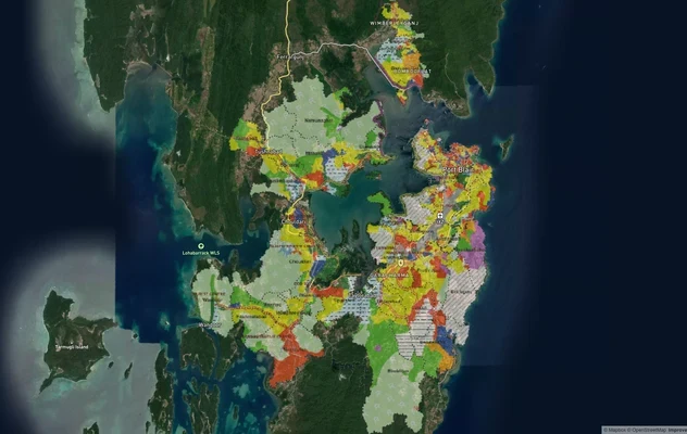
पोर्ट ब्लेयर PBPA मास्टरप्लान 2030: ज़ोन जांच और भूमि उपयोग गाइड
पोर्ट ब्लेयर मास्टरप्लान को लाइव मैप ओवरले के रूप में देखें – 1acre.in पर किसी भी प्लॉट का भूमि उपयोग ज़ोन मुफ्त में जां...
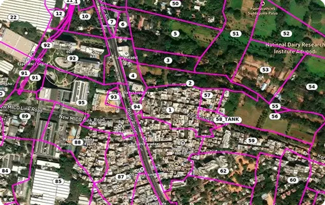
Find Survey Numbers in Andaman and Nicobar Islands | 1acre.in
Free guide to survey numbers and land records in A&N Islands. Understand property ownership, surveys, and land access on...
Andaman And Nicobar Islands में और लेयर्स
पोर्ट ब्लेयर PBPA मास्टरप्लान 2030: ज़ोन जांच और भूमि उपयोग गाइड
पोर्ट ब्लेयर मास्टरप्लान को लाइव मैप ओवरले के रूप में देखें – 1acre.in पर किसी भी प्लॉट का भूमि उपयोग ज़ोन मुफ्त में जां...
Find Survey Numbers in Andaman and Nicobar Islands | 1acre.in
Free guide to survey numbers and land records in A&N Islands. Understand property ownership, surveys, and land access on...