Varanasi - Kolkata Expressway
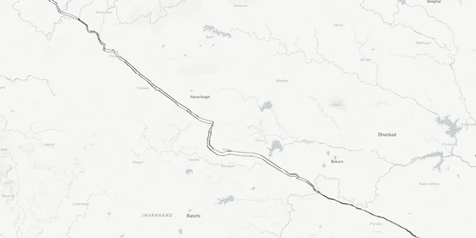
Varanasi Kolkata Expressway Preview
Try the Varanasi - Kolkata Expressway on the map
Sign in once and explore the layer for a full day.
- No card details needed
- Find nearby verified lands for sale
Overview
The Varanasi Kolkata Expressway land corridor spans 610 kilometres under National Highway 319B (NH-319B), connecting Barhuli village in Chandauli district, Uttar Pradesh, to Uluberia in Howrah, West Bengal. Built by NHAI (National Highways Authority of India) under Bharatmala Pariyojana Phase II at an estimated cost of Rs 35,000 crore, the six-lane greenfield expressway passes through four states and thirteen construction packages. Foundation stone was laid by Prime Minister Modi on 23 February 2024.
What Buyers Near the NH-319B Corridor Must Verify Before Signing
This expressway is under active construction in Uttar Pradesh, Bihar, and Jharkhand, but the West Bengal section remains the most contested stretch in any major NHAI project currently underway in India. That gap between states creates two completely different risk profiles depending on which part of the 610-kilometre corridor you are looking at.
In the UP section, construction has begun after the 2024 foundation stone laying. The Chandauli stretch covers only 22 kilometres, with NKS Projects and PNC Infratech already working across Chandauli, Kaimur, and Rohtas. Land acquisition near Barhuli Varanasi Ring Road corridor is approximately 90% complete in UP. That sounds clean. It is not. Compensation of Rs 338 crore has been distributed across 89 villages as of mid-2025, and some of that acquired land has re-entered the informal market through family members of original owners claiming it was not notified. Before buying anything within 5 kilometres of the UP alignment, pull the khasra from the Varanasi district land records portal and cross-check against NHAI's Package 1 acquisition schedule.
The table below summarises the specific buyer risk by state section.
State Section
Length
Construction Status
Acquisition Risk
Key Watch-Out
Uttar Pradesh (Chandauli)
22 km
Active, earthwork underway
~90% complete
Compensated land re-entering market informally
Bihar (Kaimur, Rohtas, Aurangabad, Gaya)
159 km
Active, piling for bridges underway
Advancing
5 km Kaimur hill tunnel; adjacent forest land has notified buffer
Jharkhand (Chatra, Hazaribagh, Ramgarh, Bokaro)
187 km
Varying progress; 41 km stalled
~30% complete
Forest clearances pending; tribal consultation delays
West Bengal (Purulia, Bankura, Arambagh, Hooghly, Howrah)
242 km
Delayed; alignment revised October 2024
Incomplete in 3 of 6 districts
NH Act Section 3(A) notified only in Purulia, Bankura, Hooghly
The West Bengal delay is the sharpest risk for buyers in Purulia and Bankura. The state government sought an alignment revision, which NHAI approved in October 2024. That revision means the exact route through parts of West Bengal is not yet final. Any land transacted along the pre-revision alignment in the three unnotified districts carries genuine legal uncertainty. The Union Minister Gadkari's reply to a Rajya Sabha question confirmed this directly: Section 3(A) notifications under the National Highways Act are complete in only three of the six West Bengal districts the expressway crosses. Do not buy in the unnotified West Bengal districts on the basis of a broker's corridor map. That map may show the original alignment, not the October 2024 revised one.
Growth Pockets and Realistic Timelines Along the NH-319B Corridor
The Varanasi Kolkata Expressway land investment case is fundamentally a long-hold thesis. Completion is now projected for 2028, having slipped from an initial 2026 target. That timeline reflects real on-ground constraints: forest clearances in Jharkhand, monsoon disruptions to river bridge piling in Bihar, and the alignment standoff in West Bengal. Buyers who understand this and price accordingly will find genuinely undervalued parcels. Buyers chasing completion-date speculation will get burned.
The most defensible pockets right now sit in Bihar's Rohtas and Kaimur districts, where construction is active and land acquisition has advanced furthest. These are less glamorous than the Varanasi or Kolkata ends, but they carry the lowest acquisition overlap risk. The Kaimur section has a proposed 5-kilometre tunnel through the hilly stretch to avoid forest land, which NHAI is treating as a fixed alignment. That makes the land outside the notified buffer on the Rohtas side the cleanest bet on this corridor.
The table below identifies each major corridor pocket and its realistic investment profile.
Corridor
State
Status
Growth Driver
Hold Period
Barhuli, Chandauli
UP
Active construction
Varanasi Ring Road junction, NH-19 connectivity
3-5 years
Rohtas, Tilauthu belt
Bihar
Active, bridge piling underway
Son River crossing, logistics hub potential
4-6 years
Kaimur district
Bihar
Active; tunnel section fixed alignment
Goods movement corridor between UP and Bihar
4-6 years
Chatra, Hazaribagh
Jharkhand
Partial; forest clearances pending
Ranchi proximity, eastern freight corridor
6-8 years
Purulia, Bankura
West Bengal
Delayed; alignment revised Oct 2024
Kolkata port access once complete
7-10 years
The Purulia Bankura land investment corridor is the longest-dated play on this expressway. West Bengal accounts for 242 kilometres of the route, the largest state share, yet it is the furthest behind in both legal notification and construction. If you have a 10-year horizon and can verify the revised alignment, Purulia and Bankura district agricultural land may offer the largest upside. For a 3-5 year window, stay in the UP and Bihar sections where construction is physically happening and the alignment is settled.
Was this layer helpful?
Anything wrong, outdated, or missing we want to hear it.
For Land Owners & Agents
Looking to sell your land in West Bengal?
I want to sell my land in West Bengal
10:32
Plz share your Land's location - We will list it on 1acre map, for Free.
10:32

For Land Buyers
Browse all verified lands & plots in West Bengal
Every listing goes through our Preliminary Verification Process.
More Layers in West Bengal
See all 5 layers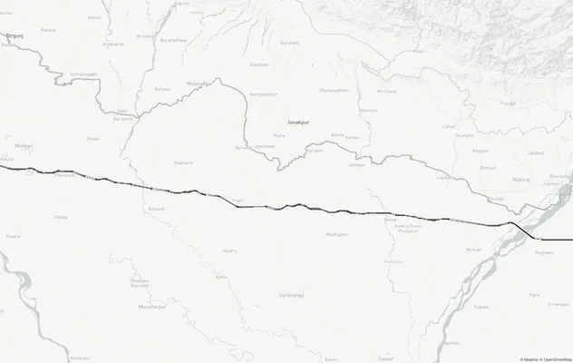
Gorakhpur - Siliguri Expressway
View Gorakhpur - Siliguri Expressway alignment as a live map overlay – check land acquisition risk and plot proximity fr...

Barrackpore Air Force Station Land Height Restriction Guide
View IAF air funnel zones near Barrackpore Air Force Station, Kolkata on a live map - check building height restrictions...
Siliguri Bagdogra Air Funnel Zone: Height Restrictions
View the Siliguri Bagdogra Air Funnel Zone on a live map — check height clearance restrictions on any plot for free on 1...
More Layers in West Bengal
Gorakhpur - Siliguri Expressway
View Gorakhpur - Siliguri Expressway alignment as a live map overlay – check land acquisition risk and plot proximity fr...
Barrackpore Air Force Station Land Height Restriction Guide
View IAF air funnel zones near Barrackpore Air Force Station, Kolkata on a live map - check building height restrictions...
Siliguri Bagdogra Air Funnel Zone: Height Restrictions
View the Siliguri Bagdogra Air Funnel Zone on a live map — check height clearance restrictions on any plot for free on 1...