Goa Survey Number Map: Form I & XIV and DSLR Land Records


Survey Numbers Goa Preview
Access Goa Survey Numbers on the map forFREE
Every plot in Goa, with its number, drawn on a satellite map.
Overview
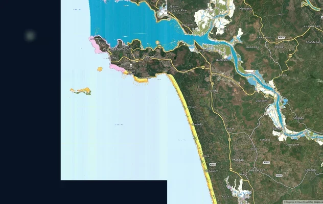
In Goa, a plot is identified by its Survey Number (with a sub-division), and its Record of Rights is Form I & XIV on the DSLR portal. Zoom to your land on the map above and its survey-number boundary appears — you don't need to know the number to start.
Below: what the survey number means in Goa, which official portal to use for what, and how to find any plot's number by location.
One plot, many names — how Goa's records fit together
Survey Number + Subdivision
Goa identifies land directly by survey number and subdivision — you need both for an exact plot.
Form I & XIV
The Record of Rights — Form I covers survey and area details; Form XIV covers cultivation, tenancy and ownership. Together they are Goa's core land record.
Sanad
The title document for land converted to non-agricultural use.
Bhunaksha / PT Sheet
The cadastral survey plan showing the parcel boundary (a PT Sheet is the city-survey plan in urban areas).
DSLR
The Directorate of Settlement & Land Records — Goa's land-records authority and portal.
GoaOnline
Where you apply for a certified, digitally-signed copy of Form I & XIV.
Which record, which portal — for what
Different tasks need different records and portals. Here is the map.
What you want to do
Record / term
Where — official & free
Find a survey number by location
—
The 1acre map on this page
View Form I & XIV by survey no.
Form I & XIV
DSLR: dslr.goa.gov.in
See the survey plan / boundary
Bhunaksha / PT Sheet
DSLR
Get a certified, signed copy
Form I & XIV
GoaOnline: goaonline.gov.in
Title for converted land
Sanad
DSLR / Revenue
What you want to do
Record / term
Where — official & free
Find a survey number by location
—
The 1acre map on this page
View Form I & XIV by survey no.
Form I & XIV
DSLR: dslr.goa.gov.in
See the survey plan / boundary
Bhunaksha / PT Sheet
DSLR
Get a certified, signed copy
Form I & XIV
GoaOnline: goaonline.gov.in
Title for converted land
Sanad
DSLR / Revenue
Goa's survey records trace back to the original cadastral survey; a subdivision number is needed alongside the survey number for an exact plot. The on-screen Form I & XIV is a reference copy — apply on GoaOnline for a certified one.
The one thing the government portal can't do
DSLR asks for the survey number, owner name or account before it shows you anything. 1acre works the other way round: start from the land. Search a village or drop a pin on the plot and the survey-number boundary appears on the map. Then take that number to the official portal for the certified record. Map-first is the search a land buyer actually needs — and no state portal offers it.
Go deeper — free Goa record guides
Survey sketch / cadastral map (Goa)
Can't find your survey number on the map? Message us on WhatsApp with your village and survey number and we'll help you locate it.
Was this layer helpful?
Anything wrong, outdated, or missing we want to hear it.

Access Survey NumbersAccess Goa
Survey Numbers
Boundaries and numbers come from published state cadastral records. See all map layers.