
Buying Land Near an Airport: Funnel Zone & Height Rules
Land near an airport often sells at a premium because of the connectivity, but buying land near an airport comes with a rulebook that most sale brochures never mention. Every plot inside roughly 20 kilometres of an airport’s boundary falls under the Airports Authority of India’s height control system, and construction above the permitted height can be denied a no objection certificate, or ordered to be demolished years after it is built. This matters most for the airport funnel zone directly under the approach and take off paths, where height limits are the strictest. Before you sign anything, you need to know which zone your plot sits in, what the height restriction near the airport actually allows, and how to get an AAI NOC land clearance in writing.
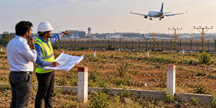
- Height limits near airports are fixed by the AAI Colour Coded Zoning Map, not by eye or by what neighbouring buildings look like.
- The funnel zone, directly under the flight path, carries the tightest height caps of any zone around an airport.
- An NOC from AAI under the NOCAS portal is needed for most construction above ground level within the control zone, and it must be renewed.
- Height violations can lead to demolition orders, as seen in a 2022 Bombay High Court case near Mumbai airport.
- 1acre.in’s own funnel zone map layers, available city by city, show the applicable zone for a specific plot.
What an airport funnel zone actually means for your plot
An airport’s safety zoning is built around a set of invisible surfaces in the air, collectively called Obstacle Limitation Surfaces (OLS). The strip immediately around the runway allows no structure at all. Beyond that, the approach and take off funnel widens outward and upward from each end of the runway, following the path an aircraft takes while climbing or descending. Land under this funnel faces the lowest height ceilings in the entire zoning system, because even a modest structure here can sit close to an aircraft’s flight path during the most sensitive phase of a journey.
Away from the funnel, two more surfaces apply. The Inner Horizontal Surface covers a wider radius around the airport at a fixed height, and the Conical Surface slopes gradually upward from its edge, allowing taller construction the further you move from the runway. An Outer Horizontal Surface covers the outermost ring, where the restrictions are lightest but still legally binding.
In practice, a plot that looks identical to one a few streets away can have a very different permitted height, purely because of where each one falls relative to the runway’s centreline and the direction aircraft use for landing. Two plots on the same road can carry different limits if one lies inside the funnel and the other just outside it. This is why the height restriction near the airport cannot be estimated by looking at existing buildings nearby; several of those buildings may themselves be unauthorised or awaiting a demolition order.
Why the zone matters more than the distance
Buyers often ask how far from the runway is considered safe, but distance alone is misleading. A plot 15 kilometres away but directly under the extended funnel can face a lower height cap than a plot 5 kilometres away but off to the side of the runway’s alignment. The zone you fall into, not the straight-line distance, decides what you can build.
How AAI decides the exact height limit for your land
Every airport in India is covered by a Colour Coded Zoning Map (CCZM) prepared by the Airports Authority of India. The map divides the area around the airport into a grid, and each grid cell is assigned a Permissible Top Elevation, expressed in metres above mean sea level (AMSL), not in metres above the ground. This distinction trips up many buyers: a plot sitting on a small hill may already be close to its height ceiling before any construction even begins, because AMSL accounts for the land’s own elevation plus whatever gets built on it.
The CCZM typically uses four colour bands.
Zones closest to the runway and under the funnel are marked in red, meaning construction is effectively prohibited beyond a very low elevation.
The next band, shown in orange or pink, permits limited height.
A yellow band allows moderate construction
The outermost green band permits the tallest structures, subject to the Outer Horizontal Surface limit.
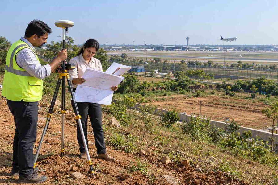
A surveyor or architect needs the exact coordinates of a plot to read the correct Permissible Top Elevation off this map; a general description of the area is not enough.
Because the permissible height is expressed in AMSL, converting it to a usable “height above ground” figure requires knowing the plot’s own ground elevation first, which is why height clearance checks for airport-adjacent land are normally done by a licensed surveyor rather than estimated from a sale brochure.
Getting an NOC through NOCAS before you build
Since 1 April 2011, applications for height clearance near airports go through NOCAS, the No Objection Certificate Application System, an online platform maintained by AAI. Anyone planning to build, or add a floor to an existing structure, within the applicable radius of a licensed airport needs to apply here before construction, not after. The system checks the proposed structure’s height, including any crane, antenna, or rooftop addition, against the Permissible Top Elevation for that location.
The legal basis for this clearance sits in the Height Restrictions for Safeguarding of Aircraft Operations Rules, 2015, notified under the Aircraft Act, 1934. These rules replaced an older, less standardised clearance process and gave the zoning system its current legal weight. An NOC issued for a general building is valid for 5 years, while one issued for a chimney, tower, or mast runs for 7 years. A 2022 amendment to the rules extended the revalidation period for certain NOCs issued under an earlier 2010 notification, allowing a validity of up to 12 years where the applicant reapplied within the window set by the amendment.
If an application is rejected, the applicant can appeal to the Appellate Committee set up by the Ministry of Civil Aviation, on payment of a fee of Rs 2,00,000. This appeal route exists specifically because height assessments can be technical and disputed, but it is a slow and costly process, which is one more reason to check the zoning before buying rather than after construction has started.
What happens when construction exceeds the height limit
Height violations near airports are not treated as a paperwork formality, and enforcement follows through in practice.
Enforcement has teeth. In 2022, the Bombay High Court directed the Mumbai Suburban District Collector to begin demolition proceedings against 48 structures found to be in violation of height restrictions near Chhatrapati Shivaji Maharaj International Airport, after years of these obstacles being flagged as a hazard to aircraft operations.
An NOC is not a one-time formality. AAI and airport operators periodically survey the area around a runway, and structures found to exceed the permitted elevation can face action long after they are completed and occupied.
A tall neighbour is not proof of approval. An existing building standing taller than what the current zoning permits may simply not have been surveyed yet, or may already be under a pending order. Treat a tall neighbouring structure as a reason to verify the zoning carefully, not as evidence that a similar height will be approved for a new plot.
Airport height rules versus other local building restrictions
Airport height rules versus other local building restrictions
Municipal / development authority approval
Airports Authority of India ( AAI) height clearance
What it covers
Checked by
Example
Common seller gap
What to ask for
Local building byelaws, floor limits and setbacks
Municipal corporation or development authority
May permit a four-storey building on a given plot size
Often the only approval a seller mentions
Municipal building plan sanction (not a substitute for an AAI NOC)
Maximum permissible elevation (Permissible Top Elevation) near the airport
Airports Authority of India, through NOCAS
May limit the same plot to two storeys if it falls in a restricted zone
Often left out, usually because the seller never applied for it
Confirmation the AAI NOC has been obtained or applied for, separately from the municipal approval
Due diligence checklist before buying airport-facing land
Get the plot’s exact latitude and longitude and check it against the airport’s Colour Coded Zoning Map to find the applicable zone and Permissible Top Elevation.
Confirm whether the plot falls under the funnel, the Inner Horizontal Surface, the Conical Surface, or the Outer Horizontal Surface, since each carries a different limit.
Ask the seller or a surveyor for the plot’s ground elevation in AMSL, so the Permissible Top Elevation can be converted into a realistic buildable height.
Check whether an AAI NOC already exists for the plot or any structure on it, and note its issue date and validity period.
If no NOC exists, apply through NOCAS before finalising construction plans, and budget for the processing time.
Avoid assuming a neighbouring building’s height reflects what is currently permitted; verify independently.
Common mistakes buyers make with airport-adjacent plots
The most frequent mistake is judging a plot’s buildability from how tall nearby structures already are, rather than from the current zoning map. Zoning maps are periodically revised, and a structure built under an older, more lenient rule is not a guarantee that the same height will be sanctioned today.
A second common error is confusing distance from the runway with safety from height restrictions. As covered earlier, a plot can be comparatively far from the runway in a straight line but still sit inside the extended funnel, carrying a tighter limit than a closer plot positioned off to the side.
A third mistake is treating the AAI NOC as optional for residential-scale construction. The clearance requirement is based on height and location relative to the zoning map, not on whether the building is commercial or residential, and even a modest two or three storey house can require clearance if it falls inside a restrictive zone.

How 1Acre helps
1acre.in is built to help you check this before you ever contact a seller.
Zoning layers on the map. 1acre.in maps the applicable airport zoning layer over individual plots in several cities, including Hyderabad, Chennai, and other markets with active airport-influenced development, so you can see whether a specific plot falls inside a restricted funnel zone before you contact the seller.
Filter and compare listings. The platform’s land search also lets you filter listings by location and compare plots side by side.
Guides for what to request. The documentation guides walk through what to request from a seller, including any existing AAI NOC, before you move to a sale agreement.
Disclaimer
The information provided in this article is for general informational and educational purposes only. It does not constitute investment advice, legal advice, or a recommendation to buy, sell, or hold any property or financial instrument.
Property prices, stamp duty rates, registration charges, government portal procedures, and land laws vary by state and are subject to change without notice. Readers are advised to verify all information independently with the relevant state government authorities, RERA portal, or a qualified legal professional before making any property-related decisions.
1acre.in makes no warranty, express or implied, regarding the completeness, accuracy, or timeliness of the information presented. Past trends or appreciation data mentioned in this article do not guarantee future returns.




-900x600.jpg)