
Buying Land Near a National Highway: Setback, ROW & NHAI Rules
A plot facing a national highway looks attractive on paper. Connectivity is better, commercial value is higher, and the land is easy to spot on a map. But buying land near a national highway comes with restrictions that do not apply to an interior plot. The National Highways Authority of India (NHAI) controls a strip of land on either side of the carriageway, called the right of way (ROW), and enforces building and control lines that limit what you can construct close to the road. A stretch marked for future road widening can also come under land acquisition at any point, with compensation fixed by the government, not negotiated with you. This guide explains the ROW, setback and acquisition rules to check before you sign anything.
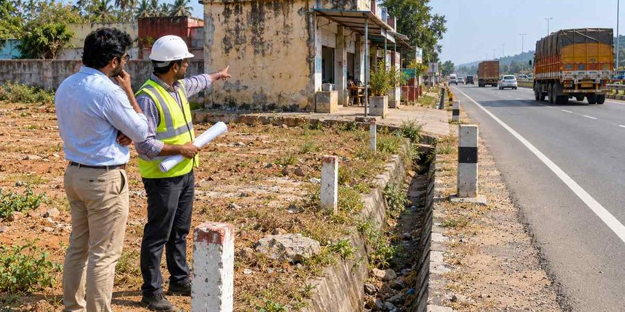
- NHAI’s right of way (ROW) for a national highway on plain terrain typically runs 30 to 60 metres, with 45 metres commonly used, per IRC 73:1980.
- Construction near a highway is restricted by a control line and a building line. Both are fixed separately for each stretch, not by one national figure.
- Karnataka’s no-construction zone, for example, is 40 metres from the highway centreline under the state Highways Act and a 2005 circular.
- Land can be acquired for road widening under Sections 3A to 3D of the National Highways Act, 1956, even after you have bought the plot.
- Compensation for highway land acquisition is now calculated under the First Schedule of the RFCTLARR Act, 2013, following MoRTH’s December 2017 guidelines.
What right of way (ROW) means for a highway plot
The right of way (ROW) is the total width of land that NHAI holds for a national highway, including the carriageway, shoulders, drains and the margin kept for future widening. On plain terrain, IRC 73:1980 sets a typical ROW of 45 metres, with a permissible range of 30 to 60 metres depending on terrain and traffic category; hilly or built-up stretches are often narrower, since land there is harder to acquire.
Land inside the ROW is treated as highway land under the Control of National Highways (Land and Traffic) Act, 2002, whether or not NHAI has formally taken possession of it. In practical terms, this means you cannot build, fence or lay drains inside the ROW without written permission from the Highway Administration, even if the seller’s documents show that portion as part of the survey number.
Ask the seller, or the local NHAI project implementation unit, for the ROW drawing of that stretch before you finalise a purchase. The drawing shows the exact boundary measured from the centreline of the carriageway, not from the edge of the tar, so a plot that looks well clear of the road on a casual visit can still sit partly inside the ROW.
NHAI control line and building line
A control line and a building line are the two distances that decide how close you can build to a national highway. Neither is fixed by one law that applies to every highway in the country; NHAI sets both for each stretch through a project-specific notification, and state governments add their own restrictions under the state’s highways or town planning rules.
NHAI control line and building line
Term
What it restricts
Set by
Building line
Control line
How far back a structure’s outer wall must stay from the road boundary
The type of construction allowed beyond the building line, often needing a no-objection certificate
NHAI, per highway stretch
NHAI and the state government, per stretch
Term
What it restricts
Set by
Building line
Control line
How far back a structure’s outer wall must stay from the road boundary
The type of construction allowed beyond the building line, often needing a no-objection certificate
NHAI, per highway stretch
NHAI and the state government, per stretch
Karnataka’s 40-metre no-construction zone
Karnataka’s rule is a useful example of how specific these can get. The state’s Highways Act and a 2005 circular fix a no-construction zone of 40 metres from the highway centreline. In September 2021, the Karnataka High Court directed the state and NHAI to enforce this zone and ordered the demolition of buildings on NH-66 in Kaup, Udupi district, that had crossed the building line. The court also asked the state to fix responsibility on the officials who had cleared those buildings.
Why an old building nearby is not proof of a safe setback
Do not treat a neighbouring structure, or an old approved layout, as confirmation that construction is allowed at that distance. The Karnataka case shows that buildings can go up with local clearances that do not match the highway rules, and get demolished years later once the mismatch is caught. Get the current building line and control line for your specific survey number in writing from the Highway Administration or the local town planning office before you plan any construction.
How road widening land acquisition works
Land for a national highway is acquired under Sections 3A to 3D of the National Highways Act, 1956, a separate process from the general Right to Fair Compensation and Transparency in Land Acquisition, Rehabilitation and Resettlement (RFCTLARR) Act, 2013. The process runs in four stages:
Section 3A notification: The Central Government publishes its intent to acquire the land in the Official Gazette and two local newspapers, one in the vernacular language.
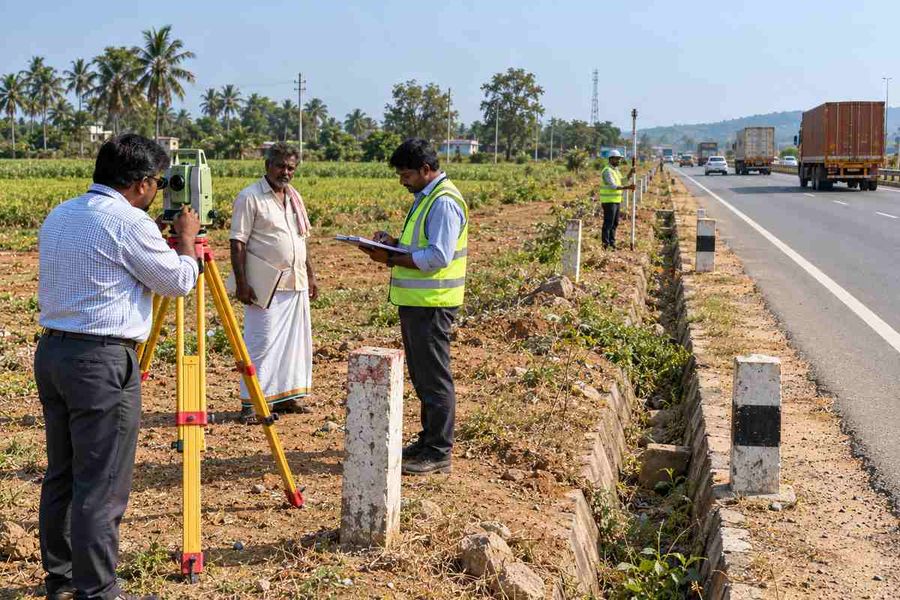
Section 3B survey: Authorised officers can enter the land to survey, measure and value it.
Section 3C objections: Anyone with an interest in the land can object within 21 days of the Section 3A publication, and the competent authority’s decision is final.
Section 3D declaration: Once objections are decided, the Gazette declaration vests the land in the Central Government immediately, whether or not compensation has been paid.
Compensation under the National Highways Act
Section 3G of the National Highways Act bases compensation on the market value of the land on the date of the Section 3A notification, along with severance damage, injurious effect on other property or earnings, and reasonable relocation expenses.
The National Highways Act was originally excluded from the RFCTLARR Act, but a 2015 notification extended RFCTLARR benefits to highway acquisitions, and MoRTH’s guidelines dated 28 December 2017 direct that compensation follow the First Schedule of the RFCTLARR Act. In Union of India v. Tarsem Singh (2022), the Supreme Court held that denying solatium and interest on National Highways Act acquisitions, when they are available under general land acquisition law, is unconstitutional.
What happens if your land is already notified
If a Section 3A notification already covers your plot, buying it does not remove the acquisition. You step into the seller’s position, and compensation, when finally paid, goes to whoever owns the land on the relevant date, subject to the acquisition record.
A real example shows why this matters: families affected by the NH 66 widening near Kasaragod, Kerala, found during a 2025 resurvey that NHAI had taken more land than it had paid for, and some compensation amounts dated back to 2021 were disputed years later. Check the Bhoomi Rashi portal or the relevant NHAI project office for any existing 3A or 3D notification on the survey number before you buy, not after.
State highway rules versus national highway rules
State highways follow a parallel but separate set of control and building line rules under each state’s own Highways Act, so a setback figure that applies on a national highway does not automatically apply on a state highway running through the same district. National highways fall under the National Highways Act, 1956 and the Control of National Highways (Land and Traffic) Act, 2002, with NHAI setting the control and building line for each stretch; state highways instead follow the respective state’s own Highways Act, administered by the state highways department. Karnataka’s 40-metre no-construction zone, discussed above, is a state highway law, not an NHAI rule.
Telangana, Karnataka and Andhra Pradesh each amend their land and highway laws periodically, so confirm the year a rule was last amended before relying on it. A lawyer familiar with the specific state’s highways act can confirm which control line and building line apply to a given survey number, since these can differ even between two stretches of the same highway. Treat any single setback figure quoted for an entire state as a starting point for research, not a final number.
Due diligence checklist before buying highway-facing land
Run through this list with the seller and the local Highway Administration before you pay any advance.
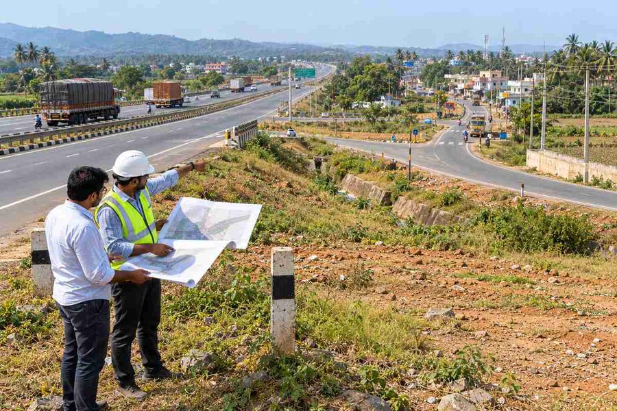
Get the ROW drawing for the exact stretch and confirm the plot’s boundary against the carriageway centreline, not the edge of the road surface.
Ask for the current building line and control line distance for that survey number in writing.
Check the Bhoomi Rashi portal, or the NHAI project office, for any pending Section 3A or 3D notification covering the land.
Confirm whether the stretch has an approved road-widening or expressway plan, even if construction has not started.
Verify the patta, the Encumbrance Certificate (EC) and the mutation record match the extent being sold, since a highway-facing plot is often split by road-widening surveys over time.
Ask whether access to the plot from the highway needs a separate permission under the Control of National Highways (Land and Traffic) Act, 2002, since direct vehicle access to a national highway is restricted.
Common mistakes buyers make with highway-facing plots
Buyers often measure the setback from the visible tar road instead of the surveyed centreline, which can place part of the plot inside the ROW without their knowledge. Another common mistake is assuming that because a petrol pump or showroom already operates nearby, similar construction is automatically allowed on the plot being bought, when access and setback permissions are actually granted stretch by stretch and structure by structure, not as a blanket rule for the area.
Some buyers also skip checking for a pending 3A notification because the land looks undisturbed and no construction activity is visible, but a notification can sit unexecuted for years before acquisition proceeds, so the absence of visible activity does not mean the land is free of it.
How 1Acre helps
Checking a highway stretch’s ROW, control line and acquisition status by yourself means visiting multiple offices and portals. That’s exactly where 1acre.in is built to help.
Map layers over verified listings. 1acre.in’s interactive land map overlays highway, ring-road and masterplan layers on verified plot listings, so you can see a plot’s position relative to the carriageway before you shortlist it.
Guides for every stage. 1acre.in’s land buying guide and land registration process guide walk through the documents and checks to complete at each stage.
Compare prices nearby. The platform’s land valuation tool helps you compare a highway-facing plot’s price against similar listings nearby.
Disclaimer
The information provided in this article is for general informational and educational purposes only. It does not constitute investment advice, legal advice, or a recommendation to buy, sell, or hold any property or financial instrument.
Property prices, stamp duty rates, registration charges, government portal procedures, and land laws vary by state and are subject to change without notice. Readers are advised to verify all information independently with the relevant state government authorities, RERA portal, or a qualified legal professional before making any property-related decisions.
1acre.in makes no warranty, express or implied, regarding the completeness, accuracy, or timeliness of the information presented. Past trends or appreciation data mentioned in this article do not guarantee future returns.



-900x600.jpg)