
Odisha Coastal Highway


Odisha Coastal Highway Preview
Try the Odisha Coastal Highway on the map
एक बार साइन इन करें और पूरे दिन लेयर एक्सप्लोर करें।
- No card details needed
- Find nearby verified lands for sale
Overview
Odisha Coastal Highway land acquisition is now underway across four districts near Bhubaneswar, and it is reshaping plot values from Tangi to Paradip. The revised NHAI alignment runs 346 km from Gopalpur to the West Bengal border, with a 163.2 km Rameswar-to-Ratanpur first section costing roughly ₹7,040 crore.
This page covers the acquisition zone, the villages where records are missing, and how the corridor interacts with Bhubaneswar's BDA plan area.
Regulatory Red Flags on the Rameswar to Ratanpur Stretch
The core risk on this corridor is not the price you pay. It is the paperwork behind the plot. Under Bharatmala Pariyojana, NHAI has already issued 3(A) and 3(D) notifications for large sections of the four-package alignment.
Any plot that sits inside the notified strip cannot be sold or built on without a fight, and the compensation follows government rates, not brokerage quotes.
The second trap is the missing-records problem. Land documentation for roughly 250 hectares across 53 villages in Puri, Jagatsinghpur, and Kendrapara has not been traced. Gop tehsil is short on records for 21 of 24 villages.
Erasama tehsil is short on all 15. If a broker offers you land in Kakatpur, Brahmagiri, Erasama, Kujang, Mahakalapada, or Pattamundai without a clean pre-1980 ROR chain on Bhulekh, treat it as a red flag.
The table below shows the key document checks for this corridor.
Regulatory Red Flags on the Rameswar to Ratanpur Stretch
Zone Code
Permitted Use
Requires Conversion?
Prohibited Without?
Commonly Misrepresented?
Agricultural (Rayati)
Farming only
Yes, to gharabari
ROR + Section 8-A order
Yes, sold as “plot”
CRZ notified zone
Restricted use
Not permitted
CRZ clearance from SEIAA
Yes, near coast
NH acquisition strip
Highway only
N/A
Cannot be transacted
Yes, pre-award sales
Forest land (Section 2 FCA)
Forest use
Central clearance
Stage-I FC order
Yes, revenue-marked
Zone Code
Permitted Use
Requires Conversion?
Prohibited Without?
Commonly Misrepresented?
Agricultural (Rayati)
Farming only
Yes, to gharabari
ROR + Section 8-A order
Yes, sold as “plot”
CRZ notified zone
Restricted use
Not permitted
CRZ clearance from SEIAA
Yes, near coast
NH acquisition strip
Highway only
N/A
Cannot be transacted
Yes, pre-award sales
Forest land (Section 2 FCA)
Forest use
Central clearance
Stage-I FC order
Yes, revenue-marked
If the seller cannot show a fresh Bhulekh ROR and confirm the survey number falls outside the NHAI notified alignment, walk away. No village panchayat receipt fills that gap.
Growth Corridors and Micro-Markets Along the Odisha Coastal Highway Route
The corridor sits 8 to 9 km from the coastline on the revised NHAI coastal highway Odisha alignment. That distance matters. It keeps the road out of Balukhanda Wildlife Sanctuary and the Chilika periphery, but it also decides which villages will actually see land-value uplift versus which will only see acquisition notices.
The table below sorts the notable corridors by investment logic.
Growth Corridors and Micro-Markets Along the Odisha Coastal Highway Route
Corridor / Locality
District
Growth Driver
Known Risk
Tangi (NH-16 junction)
Khurda
Highway entry point, closest to Bhubaneswar
BDA extended area draft plan pending
Pipili to Brahmagiri
Puri
Puri tourism, Konark marine drive link
CRZ overlap near coast
Konark to Astarang
Puri
Tourism corridor, package 2 bidding
Forest and eco-sensitive buffer
Naugaon to Paradip
Jagatsinghpur
Port-linked industrial demand
Missing pre-1980 land records
Paradip to Ratanpur
Kendrapara
Package 4 end-point
Delta land, flood-prone tracts
Corridor / Locality
District
Growth Driver
Known Risk
Tangi (NH-16 junction)
Khurda
Highway entry point, closest to Bhubaneswar
BDA extended area draft plan pending
Pipili to Brahmagiri
Puri
Puri tourism, Konark marine drive link
CRZ overlap near coast
Konark to Astarang
Puri
Tourism corridor, package 2 bidding
Forest and eco-sensitive buffer
Naugaon to Paradip
Jagatsinghpur
Port-linked industrial demand
Missing pre-1980 land records
Paradip to Ratanpur
Kendrapara
Package 4 end-point
Delta land, flood-prone tracts
The most misread corridor is Tangi. Buyers assume it falls inside Bhubaneswar's BDA plan area because of the drive time. It does not. Tangi sits outside the notified 419 sq km BDPA, which means BDA layout approvals do not apply, and the state Town Planning wing governs any layout there. Confirm the plot's development authority jurisdiction on Bhulekh before you sign anything.
क्या यह लेयर सहायक थी?
Anything wrong, outdated, or missing we want to hear it.
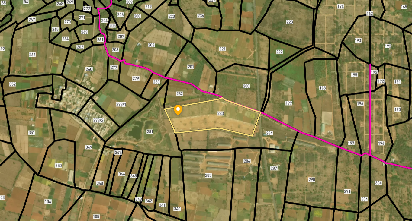
सर्वे नंबर देखेंOdisha
के सर्वे नंबर देखें
सीमाएँ और नंबर राज्य के प्रकाशित भू-अभिलेखों से लिए गए हैं। सभी मैप लेयर्स देखें।
Odisha में अपनी ज़मीन बेचना चाहते हैं?

Odisha में सभी सत्यापित ज़मीन और प्लॉट ब्राउज़ करें
Odisha में और लेयर्स
सभी 8 लेयर्स देखें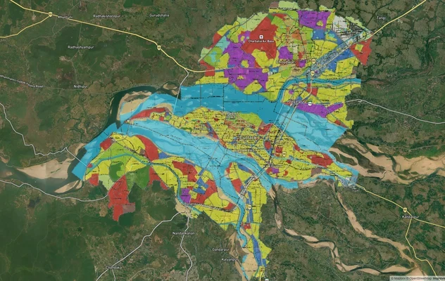
कटक मास्टरप्लान
कटक मास्टरप्लान को लाइव मैप ओवरले के रूप में देखें – 1acre.in पर मुफ्त में किसी भी प्लॉट का लैंड-यूज़ ज़ोन चेक करें. कटक...
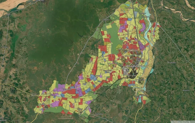
भुवनेश्वर मास्टरप्लान
भुवनेश्वर मास्टरप्लान को लाइव मैप ओवरले के रूप में देखें – 1acre.in पर किसी भी प्लॉट का लैंड यूज़ ज़ोन मुफ़्त में चेक कर...

# Odisha Capital Region Ring Road Land: A Buyer's Reality Check
110.875 km six-lane Bhubaneswar Bypass from Rameshwar to Tangi. OLR Section 22, temple-land traps and corridor value zon...
Odisha में और लेयर्स
कटक मास्टरप्लान
कटक मास्टरप्लान को लाइव मैप ओवरले के रूप में देखें – 1acre.in पर मुफ्त में किसी भी प्लॉट का लैंड-यूज़ ज़ोन चेक करें. कटक...
भुवनेश्वर मास्टरप्लान
भुवनेश्वर मास्टरप्लान को लाइव मैप ओवरले के रूप में देखें – 1acre.in पर किसी भी प्लॉट का लैंड यूज़ ज़ोन मुफ़्त में चेक कर...
# Odisha Capital Region Ring Road Land: A Buyer's Reality Check
110.875 km six-lane Bhubaneswar Bypass from Rameshwar to Tangi. OLR Section 22, temple-land traps and corridor value zon...