Odisha CRZ
Odisha Crz Preview
Try the Odisha CRZ on the map
Sign in once and explore the layer for a full day.
- No card details needed
- Find nearby verified lands for sale
Overview
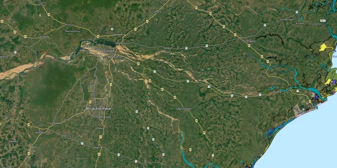
The Odisha CRZ layer plots the Coastal Regulation Zone footprint along the state's 480 km coastline on the Bay of Bengal. It mirrors the Coastal Zone Management Plan approved by MoEFCC under CRZ Notification 2019 (G.S.R. 37(E)) for six coastal districts: Baleswar (80 km), Bhadrak (50 km), Kendrapara (68 km), Jagatsinghpur (67 km), Puri (155 km), and Ganjam (60 km). The Odisha State Coastal Zone Management Authority (OSCZMA) is the regulatory body. Odisha is one of the first four states with an MoEFCC-approved CZMP 2019. This page shows what falls inside CRZ-I, II, III A, III B, and IV across the Odisha coast.
Regulatory Red Flags Around Bhitarkanika, Gahirmatha and the Olive Ridley Nesting Belt
Odisha holds the world's largest known Olive Ridley sea turtle rookery at Gahirmatha. CRZ Notification 2019 paragraph 3.1 lists Bhitarkanika as one of 12 designated CVCAs under CRZ Notification 2019 — the full list includes Sundarbans, Gulf of Khambhat, Gulf of Kutch, Malvan, Achra-Ratnagiri, Vembanad, Coondapur, Karwar, Kasarkod-Kumta, Gulf of Mannar, Bhitarkanika, and Coringa. The Gahirmatha Marine Wildlife Sanctuary (1,435 sq km) was notified through Forest & Environment Department No. 18805/F&E dated 27 September 1997, extending 20 km into the sea from Dhamra to the Mahanadi mouth.
The fact-pack on what each zone permits in Odisha, drawn from CRZ Notification 2019 and the approved Odisha CZMP.
Zone Code
Permitted Use
Requires CRZ Clearance?
Prohibited Without?
Commonly Misrepresented?
CRZ-I A
Bhitarkanika mangroves, Gahirmatha sanctuary, Chilika fringe, sand dunes, Olive Ridley nesting sites Gahirmatha Rushikulya
No new construction; only utility
Any building
Sold as "beach plots"
CRZ-I B
Inter-tidal between LTL (Low Tide Line) and HTL (High Tide Line)
Salt works, pipelines only
Houses, resorts
Marketed as "beachfront villas"
CRZ-II
Built-up Puri, Konark, Gopalpur, Paradip municipal areas
Yes, on landward side of existing road
Construction on seaward side
Confused with CRZ-III rural
CRZ-III A
Densely populated rural; No Development Zone (NDZ) 50 m from HTL
Beyond NDZ only
Construction inside 50 m
Quoted as "panchayat approved"
CRZ-III B
Sparse rural; NDZ 200 m from HTL
Beyond NDZ only
Anything inside 200 m
Sold without 2011 census check
CRZ-IV A/B
Sea up to 12 nautical miles + Chilika, Mahanadi, Devi tidal water bodies
Fishing only
Reclamation, dwellings
Sold as "lake-facing"
The Odisha-specific trap is the assumption that turtle nesting beaches are open to development between nesting seasons. The Odisha High Court in March 2021 directed the State to install transponders on all mechanised fishing vessels to protect Olive Ridley turtles. About 800 turtles died in January 2021 alone. If a parcel sits in the Devi river mouth, Rushikulya estuary, or anywhere within 20 km of Gahirmatha, the operative restriction is the Marine Sanctuary boundary, not just CRZ.
Growth Corridors From Talasari to Gopalpur Across the Six Coastal Districts
Odisha's coast splits into three personalities. The northern Baleswar-Bhadrak stretch (Talasari, Chandipur) is largely CRZ-III B with port-led growth. The central deltaic belt (Kendrapara, Jagatsinghpur) is mangrove-dominated CRZ-I A around Bhitarkanika and CRZ-II inside Paradip. The southern Puri-Ganjam stretch holds the most active tourism market, with the Paradip Dhamra Gopalpur ports triangle anchoring industrial demand. The World Bank ICZM (Integrated Coastal Zone Management) Project covered two specific stretches: Gopalpur-Chilika and Paradip-Dhamra.
The corridors most asked about, mapped against CRZ classification under the approved Odisha CZMP.
Corridor / Locality
Zone (Odisha CZMP 2019)
Growth Driver
Known Risk
Talasari, Chandipur, Bichitrapur
CRZ-III B + CRZ-I A (mudflats)
Tourism, low-volume coastal
NDZ 200 m; horseshoe crab habitat
Dhamra-Bhitarkanika belt
CRZ-I A (CVCA) + Notified Port limits
Dhamra Port, industrial
Blanket CVCA restriction; turtle buffer 15 km
Paradip city + port
CRZ-II + Notified Port limits
Major port, refining, fertilizer
Construction only landward of existing roads
Konark-Puri stretch
CRZ-II + CRZ-III B mix
Pilgrimage, Konark UNESCO, beach tourism
NDZ enforced; Jagannath temple buffer
Chilika lagoon fringe (Puri, Khurdha, Ganjam)
CRZ-I A + CRZ-IV B (Ramsar 1981)
Tourism, fishing, dolphin spotting
Wetland buffer; 1,100 sq km lagoon
Rushikulya river mouth
CRZ-I A (mass nesting site)
Olive Ridley conservation
Mass nesting Nov-April; construction blocked
Gopalpur-Chilika belt
CRZ-II + CRZ-III B
Gopalpur Port, beach tourism
Significant longshore sand drift documented in the ICZM project area, impacting coastal morphology
The most misunderstood corridor is the Konark-Puri stretch. Buyers see "Marine Drive" infrastructure and assume CRZ classification has loosened. Puri district holds 155 km of coastline, the longest of any Odisha district, and most parcels outside the municipal limits sit in CRZ-III B with 200 m NDZ. Approvals from Puri Konark Development Authority do not substitute for OSCZMA clearance through the Parivesh portal.
Was this layer helpful?
Anything wrong, outdated, or missing we want to hear it.
For Land Owners & Agents
Looking to sell your land in Odisha?
I want to sell my land in Bhubaneswar
10:32
Plz share your Land's location - We will list it on 1acre map, for Free.
10:32

For Land Buyers
Browse all verified lands & plots in Odisha
Every listing goes through our Preliminary Verification Process.
More Layers in Odisha
See all 5 layers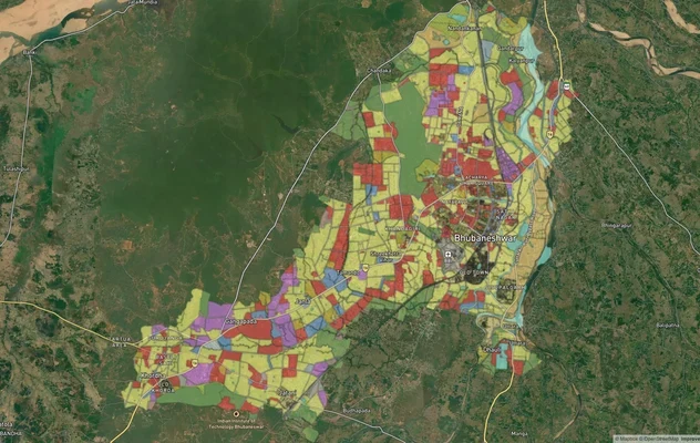
Bhubaneshwar Masterplan
View Bhubaneshwar Masterplan as a live map overlay – check any plot's land use zone for free on 1acre.in. Bhubaneswar ma...
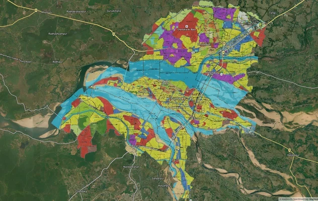
Cuttack Masterplan
View Cuttack Masterplan as a live map overlay – check any plot's land use zone for free on 1acre.in. Cuttack CDPA Master...
Bhubaneshwar Air Funnel Zones
View Bhubaneshwar Air Funnel Zones on a live map – check height clearance restrictions on any plot for free on 1acre.in....
More Layers in Odisha
Bhubaneshwar Masterplan
View Bhubaneshwar Masterplan as a live map overlay – check any plot's land use zone for free on 1acre.in. Bhubaneswar ma...
Cuttack Masterplan
View Cuttack Masterplan as a live map overlay – check any plot's land use zone for free on 1acre.in. Cuttack CDPA Master...
Bhubaneshwar Air Funnel Zones
View Bhubaneshwar Air Funnel Zones on a live map – check height clearance restrictions on any plot for free on 1acre.in....