
Odisha Coastal Highway


Odisha Coastal Highway Preview
Try the Odisha Coastal Highway on the map
Sign in once and explore the layer for a full day.
- No card details needed
- Find nearby verified lands for sale
Overview
Odisha Coastal Highway land acquisition is now underway across four districts near Bhubaneswar, and it is reshaping plot values from Tangi to Paradip. The revised NHAI alignment runs 346 km from Gopalpur to the West Bengal border, with a 163.2 km Rameswar-to-Ratanpur first section costing roughly ₹7,040 crore.
This page covers the acquisition zone, the villages where records are missing, and how the corridor interacts with Bhubaneswar's BDA plan area.
Regulatory Red Flags on the Rameswar to Ratanpur Stretch
The core risk on this corridor is not the price you pay. It is the paperwork behind the plot. Under Bharatmala Pariyojana, NHAI has already issued 3(A) and 3(D) notifications for large sections of the four-package alignment.
Any plot that sits inside the notified strip cannot be sold or built on without a fight, and the compensation follows government rates, not brokerage quotes.
The second trap is the missing-records problem. Land documentation for roughly 250 hectares across 53 villages in Puri, Jagatsinghpur, and Kendrapara has not been traced. Gop tehsil is short on records for 21 of 24 villages.
Erasama tehsil is short on all 15. If a broker offers you land in Kakatpur, Brahmagiri, Erasama, Kujang, Mahakalapada, or Pattamundai without a clean pre-1980 ROR chain on Bhulekh, treat it as a red flag.
The table below shows the key document checks for this corridor.
Regulatory Red Flags on the Rameswar to Ratanpur Stretch
Zone Code
Permitted Use
Requires Conversion?
Prohibited Without?
Commonly Misrepresented?
Agricultural (Rayati)
Farming only
Yes, to gharabari
ROR + Section 8-A order
Yes, sold as “plot”
CRZ notified zone
Restricted use
Not permitted
CRZ clearance from SEIAA
Yes, near coast
NH acquisition strip
Highway only
N/A
Cannot be transacted
Yes, pre-award sales
Forest land (Section 2 FCA)
Forest use
Central clearance
Stage-I FC order
Yes, revenue-marked
Zone Code
Permitted Use
Requires Conversion?
Prohibited Without?
Commonly Misrepresented?
Agricultural (Rayati)
Farming only
Yes, to gharabari
ROR + Section 8-A order
Yes, sold as “plot”
CRZ notified zone
Restricted use
Not permitted
CRZ clearance from SEIAA
Yes, near coast
NH acquisition strip
Highway only
N/A
Cannot be transacted
Yes, pre-award sales
Forest land (Section 2 FCA)
Forest use
Central clearance
Stage-I FC order
Yes, revenue-marked
If the seller cannot show a fresh Bhulekh ROR and confirm the survey number falls outside the NHAI notified alignment, walk away. No village panchayat receipt fills that gap.
Growth Corridors and Micro-Markets Along the Odisha Coastal Highway Route
The corridor sits 8 to 9 km from the coastline on the revised NHAI coastal highway Odisha alignment. That distance matters. It keeps the road out of Balukhanda Wildlife Sanctuary and the Chilika periphery, but it also decides which villages will actually see land-value uplift versus which will only see acquisition notices.
The table below sorts the notable corridors by investment logic.
Growth Corridors and Micro-Markets Along the Odisha Coastal Highway Route
Corridor / Locality
District
Growth Driver
Known Risk
Tangi (NH-16 junction)
Khurda
Highway entry point, closest to Bhubaneswar
BDA extended area draft plan pending
Pipili to Brahmagiri
Puri
Puri tourism, Konark marine drive link
CRZ overlap near coast
Konark to Astarang
Puri
Tourism corridor, package 2 bidding
Forest and eco-sensitive buffer
Naugaon to Paradip
Jagatsinghpur
Port-linked industrial demand
Missing pre-1980 land records
Paradip to Ratanpur
Kendrapara
Package 4 end-point
Delta land, flood-prone tracts
Corridor / Locality
District
Growth Driver
Known Risk
Tangi (NH-16 junction)
Khurda
Highway entry point, closest to Bhubaneswar
BDA extended area draft plan pending
Pipili to Brahmagiri
Puri
Puri tourism, Konark marine drive link
CRZ overlap near coast
Konark to Astarang
Puri
Tourism corridor, package 2 bidding
Forest and eco-sensitive buffer
Naugaon to Paradip
Jagatsinghpur
Port-linked industrial demand
Missing pre-1980 land records
Paradip to Ratanpur
Kendrapara
Package 4 end-point
Delta land, flood-prone tracts
The most misread corridor is Tangi. Buyers assume it falls inside Bhubaneswar's BDA plan area because of the drive time. It does not. Tangi sits outside the notified 419 sq km BDPA, which means BDA layout approvals do not apply, and the state Town Planning wing governs any layout there. Confirm the plot's development authority jurisdiction on Bhulekh before you sign anything.
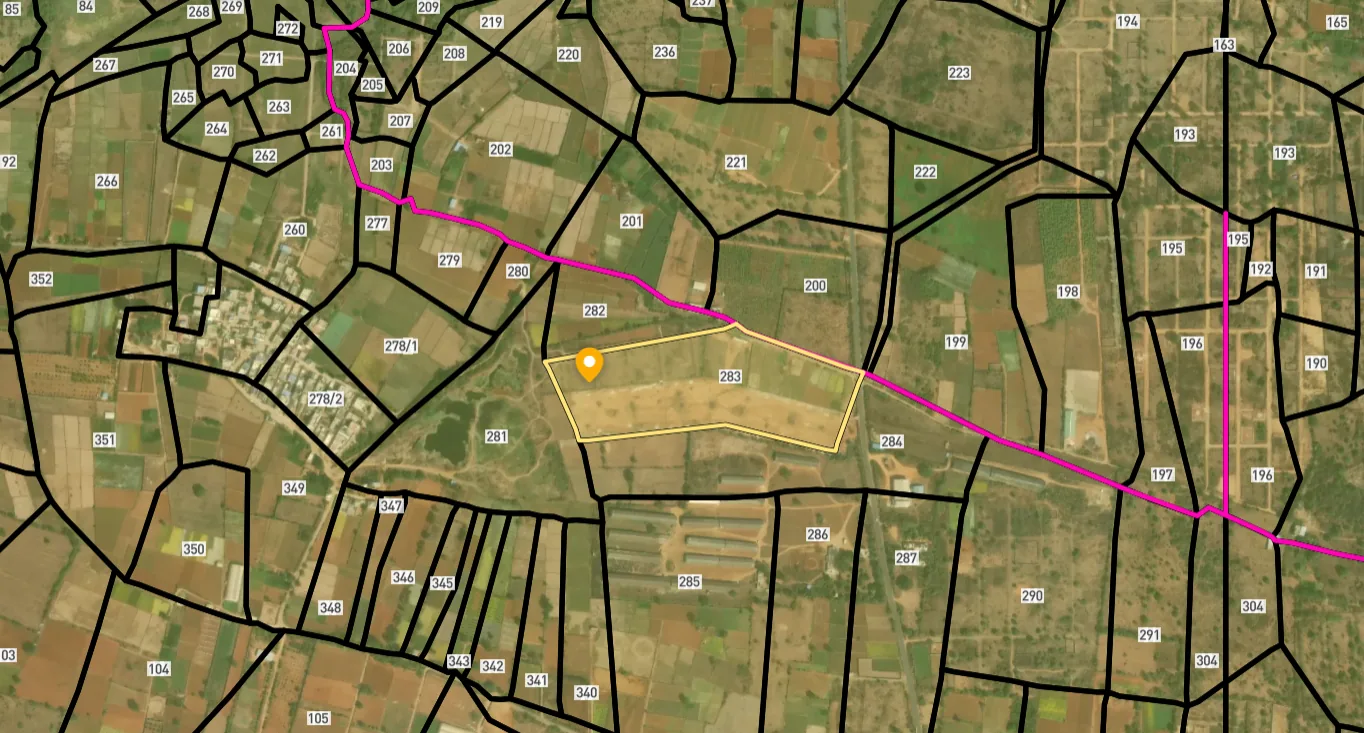
Access Survey NumbersAccess Odisha
Survey Numbers
Boundaries and numbers come from published state cadastral records. See all map layers.
Looking to sell your land in Odisha?

Browse all verified lands & plots in Odisha
More Layers in Odisha
See all 8 layers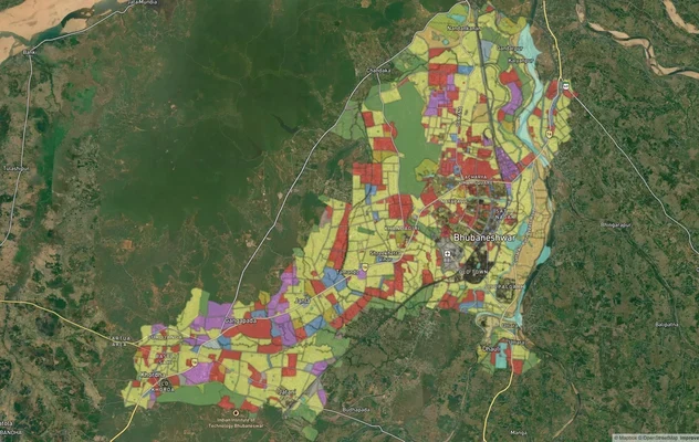
BDA CDP Map Bhubaneswar: Masterplan 2030 Villages, 2040
BDA CDP map for Bhubaneswar: find the CDP 2030 zone by village or mouza, see the 2040 extended area draft and official P...
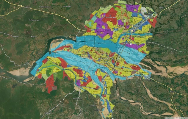
Cuttack Masterplan
View Cuttack Masterplan as a live map overlay – check any plot's land use zone for free on 1acre.in. Cuttack CDPA Master...

# Odisha Capital Region Ring Road Land: A Buyer's Reality Check
110.875 km six-lane Bhubaneswar Bypass from Rameshwar to Tangi. OLR Section 22, temple-land traps and corridor value zon...
More Layers in Odisha
BDA CDP Map Bhubaneswar: Masterplan 2030 Villages, 2040
BDA CDP map for Bhubaneswar: find the CDP 2030 zone by village or mouza, see the 2040 extended area draft and official P...
Cuttack Masterplan
View Cuttack Masterplan as a live map overlay – check any plot's land use zone for free on 1acre.in. Cuttack CDPA Master...
# Odisha Capital Region Ring Road Land: A Buyer's Reality Check
110.875 km six-lane Bhubaneswar Bypass from Rameshwar to Tangi. OLR Section 22, temple-land traps and corridor value zon...
Frequently Asked Questions
The revised NHAI alignment is 346 km from Gopalpur in Ganjam to Digha in West Bengal, cut down from the original 451 km. The reduction avoids Chilika, Balukhanda Sanctuary, and Bhitarkanika National Park boundaries.
The four-lane access-controlled greenfield highway crosses Khurda, Puri, Jagatsinghpur, Kendrapara, Bhadrak, and Balasore. The first phase from Rameswar to Ratanpur cuts through 134 villages across the first four of these districts.
No, the alignment starts at Rameswar near Tangi on NH-16 in Khurda district, roughly 45 km south of Bhubaneswar. The city itself sits outside the notified corridor, though BDA extended-area villages may see indirect price effects.
About 794.69 hectares are required for Packages I and II combined, including 542 hectares of private land, forest land, and government land. Roughly 70 percent for Package I and 30 percent for Package II is secured so far.
The Ministry of Finance cleared ₹8,300 crore in November 2025 for the Rameswar-to-Digha corridor. The 163 km first section alone is tendered at ₹7,040.43 crore under a hybrid annuity model across four packages.
Yes for Section 1 (Rameswar-Ratanpur). Environmental and CRZ clearances are in place, and Stage-I forest clearance is under review. The Ratanpur-Digha stretch is still in the ToR phase, so alignment there can shift.
Bidding for the 47.3 km Rameswar-to-Puri package is active, budgeted at ₹1,875.9 crore. Construction is expected to start once forest clearance closes, with commissioning realistically 30 to 36 months after that award.
The revised NHAI alignment runs 346 km from Gopalpur to the West Bengal border, sitting 8 to 9 km inland from the coastline. The first section covers 163.2 km from Rameswar to Ratanpur at roughly Rs 7,040 crore, with acquisition underway across four districts near Bhubaneswar.
Source
Official government land and infrastructure records
Official Website
pib.gov.in
Coordinate Reference System
EPSG:4326 (WGS 84)
Geometry Type
LineString / MultiLineString
Data Format
Vector (GeoJSON) + Raster Tiles
Last Verified
2026
Status
Active
Was this layer helpful?
Anything wrong, outdated, or missing we want to hear it.