
Sambalpur Ring Road
Overview
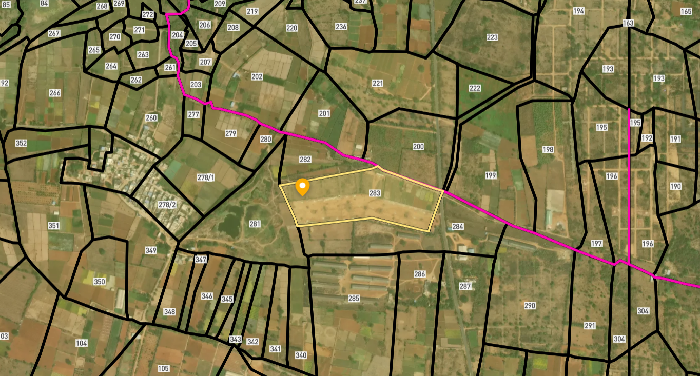
The Sambalpur Ring Road land records question comes with a lesson that applies well beyond Odisha, and it is worth reading closely before anything else here: land acquisition finishing does not mean a road is actually about to be built. This roughly 35-kilometre, four-lane bypass, planned under the Bharatmala Pariyojana at a cost cited anywhere between 1,086 and 1,333 crore rupees depending on which report you read, is designed to route heavy through-traffic from NH-53, NH-55, and the Biju Expressway around Sambalpur city entirely, rather than sending it straight through the town centre the way it currently runs. NHAI opened financial bids in December 2025, with the winning contractor coming in well below the official cost estimate, which on its own is a genuinely encouraging sign for the project's momentum. But for more than two full years before that bid opening, the project sat waiting on forest clearance even though private land acquisition had already wrapped up entirely, and that gap is the single most instructive fact about this corridor. Land here is checked through Bhulekh Odisha, the state's Record of Rights portal, run by the Revenue and Disaster Management Department across all 30 districts, and this layer on 1acre marks the alignment clearly so you can weigh where the project genuinely stands today against wherever a seller might casually claim it stands.
Regulatory Red Flags Around the Sambalpur Ring Road
The single most important fact about this specific project is what actually delayed it for so long, because that same obstacle tells you something genuinely useful about the land sitting nearby today, not just about the road itself. As of April 2025, all of the roughly 290 hectares needed for the ring road, including 170 hectares of private land specifically, had already been fully acquired, yet construction still could not begin because forest clearance remained stubbornly pending on a separate track entirely. That is not a routine paperwork gap anyone should shrug off as bureaucratic slowness. It means a meaningful share of this corridor runs through or immediately alongside land the Forest Department has to formally clear before construction can even start, and land classified as forest carries its own entirely separate set of restrictions on private ownership and transfer, restrictions that do not simply disappear just because a nearby government project eventually gets its own clearance sorted out years later.
Before buying anywhere near this alignment, pull the Record of Rights for the specific plot on Bhulekh Odisha, using the khata or plot number, and check the land classification shown there just as carefully as you check the recorded owner's name itself. Sambalpur district carries a genuinely meaningful tribal population, and Odisha's tribal land protections under the Orissa Scheduled Areas Transfer of Immovable Property Regulation, 1956, apply wherever land sits inside a notified Scheduled Area, regardless of how ordinary that land might look during a casual site visit. Under that regulation, land belonging to a Scheduled Tribe member cannot legally be transferred to a non-tribal buyer without the Collector's prior written sanction, and a transfer made without it can be reversed by the Collector later on, with no compensation owed to the buyer who thought the deal was already complete and settled. Whether a specific parcel near this ring road actually falls inside a notified Scheduled Area is genuinely not something to assume either way based on appearance alone, since a village boundary can sit right at the edge of that classification without any obvious visual marker separating one side from the other.
A separate but equally important check involves confirming that a plot carries no live dispute sitting quietly in the background. Odisha's Revenue Court Case Monitoring System, known as RCCMS, lets anyone check whether a specific khata or plot number has an open case in front of a Tahasildar, Sub-Collector, or Additional District Magistrate, covering everything from boundary disputes to inheritance disagreements to encroachment complaints. A plot can carry a perfectly clean Record of Rights while a pending case sits in the revenue court system waiting for a hearing date, and that pending case can still delay or block a sale even though nothing about it shows up on an ordinary Bhulekh printout. This is precisely the kind of gap that tends to surface only once a buyer is already partway through a transaction, when walking away costs far more than it would have at the very start.
Regulatory Red Flags Around the Sambalpur Ring Road
Land Record Term
What It Proves
Needs Separate Approval?
Blocks Registration Without It?
Commonly Misused?
Record of Rights / Khatiyan
Current owner, plot classification, and area
No
Yes
A free portal copy is often mistaken for a certified one
Forest classification
Whether land is Reserved or Protected Forest
Central government clearance
Yes, for any construction
A pending clearance nearby does not mean the plot itself is forest land, or vice versa
OSATIP Collector sanction
Approval for a tribal-to-non-tribal land transfer
Yes, Collector
Yes, transfer is void without it
Sellers sometimes omit this status if it applies
RCCMS case status
Shows whether a revenue court dispute is pending
No
Not directly, but flags real risk
Buyers frequently skip this check near an active road project
NHAI land acquisition notice
Confirms whether a specific plot falls inside the formal alignment
N/A
Determines compensation eligibility, not ordinary sale
A plot near the route is not automatically inside the acquired corridor
Land Record Term
What It Proves
Needs Separate Approval?
Blocks Registration Without It?
Commonly Misused?
Record of Rights / Khatiyan
Current owner, plot classification, and area
No
Yes
A free portal copy is often mistaken for a certified one
Forest classification
Whether land is Reserved or Protected Forest
Central government clearance
Yes, for any construction
A pending clearance nearby does not mean the plot itself is forest land, or vice versa
OSATIP Collector sanction
Approval for a tribal-to-non-tribal land transfer
Yes, Collector
Yes, transfer is void without it
Sellers sometimes omit this status if it applies
RCCMS case status
Shows whether a revenue court dispute is pending
No
Not directly, but flags real risk
Buyers frequently skip this check near an active road project
NHAI land acquisition notice
Confirms whether a specific plot falls inside the formal alignment
N/A
Determines compensation eligibility, not ordinary sale
A plot near the route is not automatically inside the acquired corridor
The gap between land acquisition finishing and forest clearance still pending on this exact project is a genuinely useful reminder for buyers generally, not only here in Sambalpur. A government announcement that acquisition is complete tells you specifically about the parcels the project itself actually needed, not about the classification of every other plot sitting nearby that was never part of that acquisition to begin with. Land just outside the formal alignment can still carry its own separate forest or tribal status, entirely independent of whatever stage the ring road project happens to have reached at any given moment, and it is worth remembering that Sambalpur is not the only Odisha city where this exact pattern has played out; industry reporting has flagged a second major ring road elsewhere in the state facing a broadly similar green-clearance holdup, which suggests this is closer to a structural pattern in how these projects move through approval than a one-off delay unique to this city alone.
Growth Corridors Around the Sambalpur Ring Road
Sambalpur's existing road network sits at a genuinely important junction point, and that fact alone is exactly why this bypass matters as much as it does to the city's future traffic flow. NH-53 arriving from the Chhattisgarh border, NH-55 running toward Cuttack, and the Biju Expressway all currently funnel long-haul, heavy traffic directly through Sambalpur city itself, with no real alternative route available around it today. Once complete, the ring road is meant to route that same traffic around the city instead, freeing up genuine space for urban expansion directly along the new route rather than continuing to squeeze everything through the older town centre the way things work now. The alignment is planned to connect 19 villages across its roughly 35-kilometre length, and land near those specific villages, rather than the wider district taken as a whole, is genuinely where the corridor's direct effect will actually be felt first, once construction eventually gets properly underway.
Sambalpur also carries an established identity that exists well beyond this one single road project. The city sits near the Hirakud Dam and its large reservoir, one of the longest earthen dams anywhere in the world, which already draws steady tourism traffic on its own and supports the wider regional economy through both irrigation and hydropower generation, entirely regardless of what eventually happens with any bypass. A genuinely functioning ring road would add real value on top of that existing economic base, by making the city itself considerably easier to move through and around on a daily basis, rather than creating entirely new growth out of nothing the way a greenfield project dropped into undeveloped territory sometimes has to do from scratch.
That said, the practical lesson here, taken as a whole, is to price in the actual construction timeline honestly, rather than simply reacting to the announcement date alone as though it settles the matter. A December 2025 bid award is a real, genuinely meaningful step forward for this project, no question about that, and it should not be dismissed. But this exact project has already shown quite clearly that a fully completed land acquisition can still sit for years behind a stubbornly pending forest clearance, waiting on an entirely separate government process to catch up on its own schedule. Treat news of a contractor finally being selected as real progress worth noting and taking seriously, but not as confirmation that the road itself, and the land value it is widely expected to eventually bring with it, is genuinely close to arriving on the ground right now.
Growth Corridors Around the Sambalpur Ring Road
Location
Growth Driver
Known Consideration
The 19 villages along the ring road alignment
Direct exposure to the bypass once construction begins
Confirm whether a specific plot falls inside or outside the acquired corridor
Sambalpur city core
Reduced through-traffic once heavy vehicles are rerouted
Bypass benefit only arrives once forest clearance and construction are both complete
NH-53 / NH-55 / Biju Expressway junction area
Existing highway convergence point
Established traffic corridor, not dependent on the ring road's completion
Areas near Hirakud Dam and reservoir
Established tourism and hydropower-linked economy
Independent of the ring road's timeline
Location
Growth Driver
Known Consideration
The 19 villages along the ring road alignment
Direct exposure to the bypass once construction begins
Confirm whether a specific plot falls inside or outside the acquired corridor
Sambalpur city core
Reduced through-traffic once heavy vehicles are rerouted
Bypass benefit only arrives once forest clearance and construction are both complete
NH-53 / NH-55 / Biju Expressway junction area
Existing highway convergence point
Established traffic corridor, not dependent on the ring road's completion
Areas near Hirakud Dam and reservoir
Established tourism and hydropower-linked economy
Independent of the ring road's timeline
क्या यह लेयर सहायक थी?
Anything wrong, outdated, or missing we want to hear it.
सर्वे नंबर देखेंOdisha
के सर्वे नंबर देखें
सीमाएँ और नंबर राज्य के प्रकाशित भू-अभिलेखों से लिए गए हैं। सभी मैप लेयर्स देखें।
Odisha में अपनी ज़मीन बेचना चाहते हैं?

Odisha में सभी सत्यापित ज़मीन और प्लॉट ब्राउज़ करें
Odisha में और लेयर्स
सभी 8 लेयर्स देखें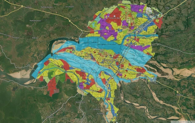
कटक मास्टरप्लान
कटक मास्टरप्लान को लाइव मैप ओवरले के रूप में देखें – 1acre.in पर मुफ्त में किसी भी प्लॉट का लैंड-यूज़ ज़ोन चेक करें. कटक...
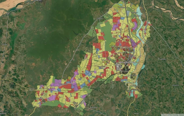
भुवनेश्वर मास्टरप्लान
भुवनेश्वर मास्टरप्लान को लाइव मैप ओवरले के रूप में देखें – 1acre.in पर किसी भी प्लॉट का लैंड यूज़ ज़ोन मुफ़्त में चेक कर...

# Odisha Capital Region Ring Road Land: A Buyer's Reality Check
110.875 km six-lane Bhubaneswar Bypass from Rameshwar to Tangi. OLR Section 22, temple-land traps and corridor value zon...
Odisha में और लेयर्स
कटक मास्टरप्लान
कटक मास्टरप्लान को लाइव मैप ओवरले के रूप में देखें – 1acre.in पर मुफ्त में किसी भी प्लॉट का लैंड-यूज़ ज़ोन चेक करें. कटक...
भुवनेश्वर मास्टरप्लान
भुवनेश्वर मास्टरप्लान को लाइव मैप ओवरले के रूप में देखें – 1acre.in पर किसी भी प्लॉट का लैंड यूज़ ज़ोन मुफ़्त में चेक कर...
# Odisha Capital Region Ring Road Land: A Buyer's Reality Check
110.875 km six-lane Bhubaneswar Bypass from Rameshwar to Tangi. OLR Section 22, temple-land traps and corridor value zon...