
IAF Air Funnel Zones - Jorhat


Iaf Air Funnel Zones Jorhat Preview
Try the IAF Air Funnel Zones - Jorhat on the map
Sign in once and explore the layer for a full day.
- No card details needed
- Find nearby verified lands for sale
Overview
The Jorhat Air Force Station land height restriction picture rests on a base with an unusually long and active operational history. Also known as Rowriah Airbase, Jorhat is the Indian Air Force's first air base in the eastern sector, formed in August 1952 on land carved from the Rowriah Tea Estate in Assam, and originally developed even earlier by the Royal Air Force during World War II to support the "Hump" airlift over the Himalayas. Today it functions as both a primary transport base, running airdrops and logistics to Nagaland and Arunachal Pradesh, and a frontline fighter base, having inducted a Sukhoi Su-30MKI squadron in 2023 as part of India's eastern-theatre capacity building near the China border. This layer is available on 1acre's Premium plan. It covers why the base's dual transport-and-combat role matters for construction clearance, what recent safety incidents reveal about the seriousness of this airspace, and how the base's tea-estate origins add a regional wrinkle to land near it.
Jorhat Air Force Station Land: Regulatory Red Flags You Cannot Ignore
The first red flag is that Jorhat carries two distinct operational identities layered on top of each other. As a transport base, it runs two squadrons of An-32 aircraft providing sustained logistical connectivity across some of India's most difficult terrain, supporting the Kameng, Subansiri, Siang, Lohit, and Tirap districts of Arunachal Pradesh alongside the Naga Hills. As a combat base, it has hosted a Su-30MKI fighter squadron since 2023, explicitly framed by the IAF as part of capacity building along the eastern border. A base combining routine, high-frequency transport operations with frontline fighter capability generally receives more conservative security and height-restriction treatment than either function alone would warrant, since both mission types must be protected simultaneously.
The second red flag is that this airspace has a demonstrated, serious safety history, which is directly relevant to why height and funnel zone restrictions exist in the first place. In June 2019, an Antonov AN-32 transport aircraft that departed Jorhat was involved in one of the most serious transport aircraft tragedies in recent Indian military history. More recently, in March 2026, a Su-30MKI operating under the base's 47 Squadron was lost during a night training mission, crashing in the Inglong Ekopi Hills roughly 60 kilometres from the station, with both pilots losing their lives. These incidents are a sober reminder that the regulations governing construction near an active military airfield exist to protect genuine, ongoing flight operations, not as bureaucratic formality, and they support a case for treating any height clearance request near Jorhat with real caution.
The table below sets out the base's core operational parameters relevant to any construction evaluation.
Parameter
Confirmed Detail
Founded
August 1952, IAF's first eastern-sector air base; originally an RAF/USAAF WWII airfield
Primary transport role
Two An-32 squadrons supporting airdrops to Nagaland and Arunachal Pradesh
Combat role
Su-30MKI fighter squadron (47 Squadron) inducted 2023 for eastern-theatre capacity building
Additional units
Garud Commando presence for base protection and counter-terrorism readiness
Civil side
IndiGo operates direct flights connecting Jorhat to Delhi
Applicable framework
Ministry of Civil Aviation Height Restrictions Rules, 2015, AAI NOC via NOCAS
Parameter
Confirmed Detail
Founded
August 1952, IAF's first eastern-sector air base; originally an RAF/USAAF WWII airfield
Primary transport role
Two An-32 squadrons supporting airdrops to Nagaland and Arunachal Pradesh
Combat role
Su-30MKI fighter squadron (47 Squadron) inducted 2023 for eastern-theatre capacity building
Additional units
Garud Commando presence for base protection and counter-terrorism readiness
Civil side
IndiGo operates direct flights connecting Jorhat to Delhi
Applicable framework
Ministry of Civil Aviation Height Restrictions Rules, 2015, AAI NOC via NOCAS
The third red flag is that Jorhat's civil infrastructure is actively expanding, not static. The Assam state government has approved airport expansion at Jorhat, with administrative efforts pushing to expedite associated land requirements. Combined with a history of runway upgrades planned across the northeast's frontline airfields, including Jorhat, Tezpur, Chabua, Panagarh, and Purnea, this means the base's operational footprint, and by extension its applicable Colour Coded Zoning Map, is subject to change. Any buyer relying on older zoning data risks working from a map that predates the current expansion phase, and the only reliable check is a fresh lookup on AAI's NOCAS system against the exact coordinates of the plot in question.
The fourth consideration is regional and specific to Jorhat's history. Because the airfield itself was built on land taken from the Rowriah Tea Estate, land near the base sits within a broader economic and land-use context still shaped by tea estate holdings across this part of Assam. Buyers evaluating land here may need to navigate tea estate land conversion rules in addition to aerodrome height restrictions, an overlapping regulatory consideration that does not arise near most Indian airbases outside this specific tea-growing belt.
Areas and Micro-Markets Affected by the Jorhat Restricted Zone
Land exposure near Jorhat Air Force Station concentrates around the Rowriah base perimeter itself, with the surrounding town and its tea-estate economic backdrop forming a distinct secondary layer.
Area
Position Relative to the Base
Character
Restriction Exposure
Rowriah base perimeter
Immediate vicinity of the airfield
Active dual transport-combat military installation
Highest exposure to both civil funnel zone and Ministry of Defence security restrictions
Jorhat town core
Established district headquarters, "Tea Capital of Assam"
Regional administrative and commercial hub
Moderate exposure, tapering with distance and bearing from the runway
Surrounding tea estate belt
Encircling agricultural and plantation land
Historic tea estate holdings, including land the airbase itself was carved from
Overlapping tea estate land-use rules alongside standard aerodrome restrictions
Broader Jorhat district
Wider catchment served by the base's transport logistics role
Gateway for supply routes into Arunachal Pradesh and Nagaland
Lower direct restriction exposure, but indirectly shaped by the base's continued strategic importance
Area
Position Relative to the Base
Character
Restriction Exposure
Rowriah base perimeter
Immediate vicinity of the airfield
Active dual transport-combat military installation
Highest exposure to both civil funnel zone and Ministry of Defence security restrictions
Jorhat town core
Established district headquarters, "Tea Capital of Assam"
Regional administrative and commercial hub
Moderate exposure, tapering with distance and bearing from the runway
Surrounding tea estate belt
Encircling agricultural and plantation land
Historic tea estate holdings, including land the airbase itself was carved from
Overlapping tea estate land-use rules alongside standard aerodrome restrictions
Broader Jorhat district
Wider catchment served by the base's transport logistics role
Gateway for supply routes into Arunachal Pradesh and Nagaland
Lower direct restriction exposure, but indirectly shaped by the base's continued strategic importance
The Rowriah base perimeter deserves the most cautious treatment on this list, precisely because of the base's demonstrated operational seriousness. Given the confirmed presence of frontline Su-30MKI aircraft, ongoing transport operations, and the safety incidents documented above, any construction proposal in this immediate zone should anticipate both a civil aviation NOC requirement and a Ministry of Defence security review, treated as a genuine hurdle rather than a formality.
The surrounding tea estate belt is the most distinctive feature of Jorhat's land market compared to other Indian airbases covered in this series. Because the airfield's own history is tied directly to converted tea estate land, buyers should expect that any land transaction near the base may require navigating estate land conversion processes specific to Assam's tea industry, layered on top of the standard aerodrome height clearance process. Treating this as a purely aviation-regulation question misses half of the actual due diligence required in this specific region.
Was this layer helpful?
Anything wrong, outdated, or missing we want to hear it.
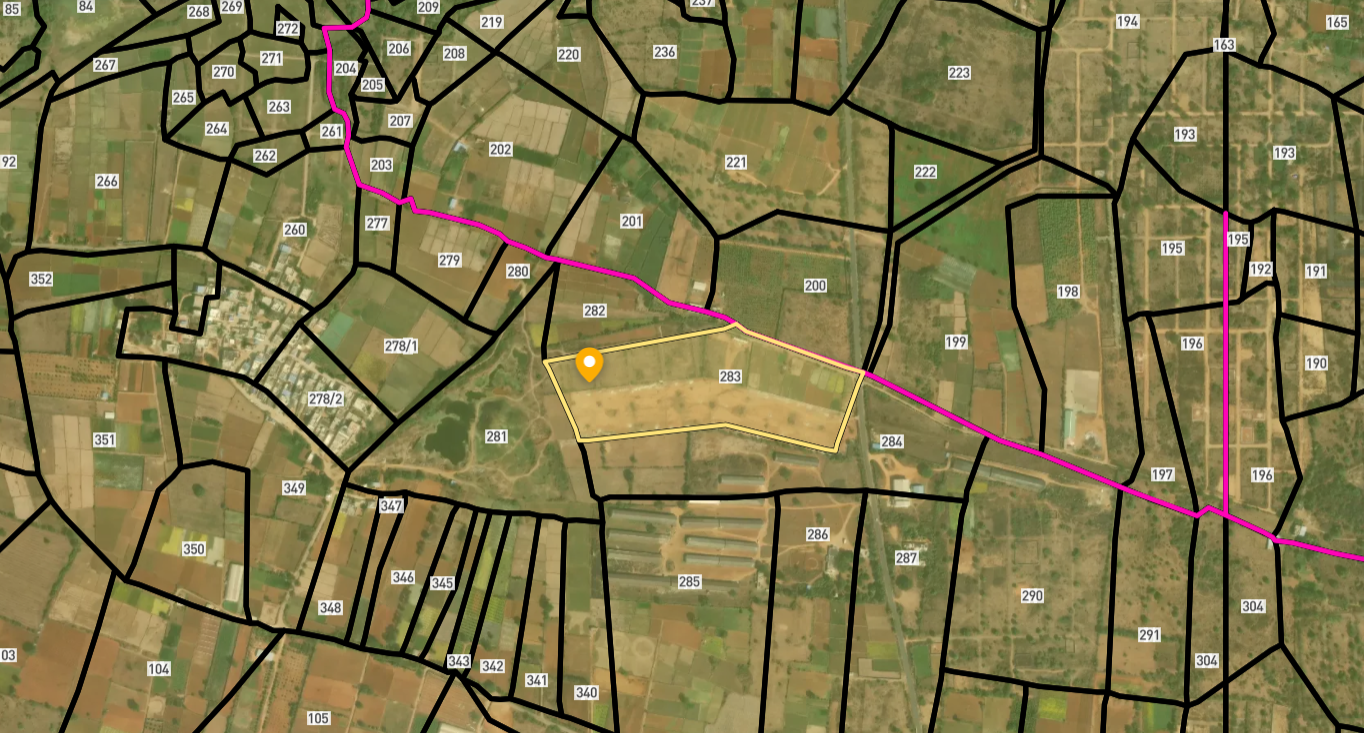
Access Survey NumbersAccess Assam
Survey Numbers
Boundaries and numbers come from published state cadastral records. See all map layers.
Looking to sell your land in Assam?

Browse all verified lands & plots in Assam
More Layers in Assam
See all 8 layers
Dibrugarh Air Funnel Zones: Building Height Rules
View Dibrugarh Air Funnel Zones on a live map - check height clearance restrictions on any plot for free on 1acre.in. Ch...

Silchar Kumbhirgram Airport Height Restriction Zone
The Silchar Kumbhirgram airport height restriction zone land-buying process is complicated by one detail most listings s...

Tezpur Air Force Station Land Height Restriction Guide
The Tezpur Air Force Station land height restriction picture changed significantly in late 2025, when the government mov...
More Layers in Assam
Dibrugarh Air Funnel Zones: Building Height Rules
View Dibrugarh Air Funnel Zones on a live map - check height clearance restrictions on any plot for free on 1acre.in. Ch...
Silchar Kumbhirgram Airport Height Restriction Zone
The Silchar Kumbhirgram airport height restriction zone land-buying process is complicated by one detail most listings s...
Tezpur Air Force Station Land Height Restriction Guide
The Tezpur Air Force Station land height restriction picture changed significantly in late 2025, when the government mov...