Gujarat CRZ
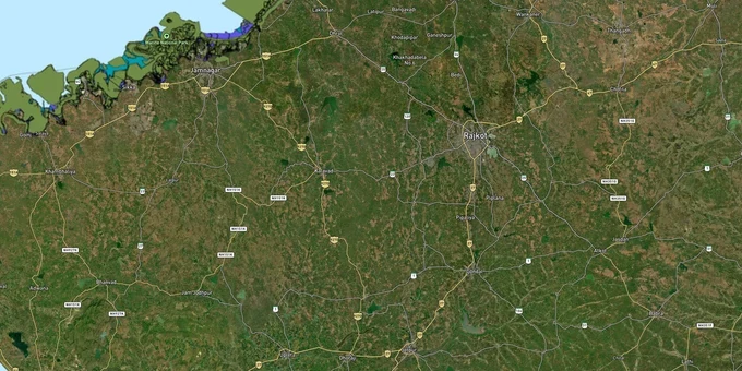
Gujarat Crz Preview
Try the Gujarat CRZ on the map
Sign in once and explore the layer for a full day.
- No card details needed
- Find nearby verified lands for sale
Overview
Gujarat CRZ land buying carries one of the highest regulatory compliance burdens of any state in India. The state has a 1,600 km coastline, the longest in the country, governed under the CRZ Notification 2019 issued by the Ministry of Environment, Forest and Climate Change. The Gujarat Coastal Zone Management Authority (GCZMA), headquartered in Gandhinagar, enforces these rules across four distinct zone categories. Two of Gujarat's gulfs, the Gulf of Kutch and the Gulf of Khambhat, carry additional designation as Critical Vulnerable Coastal Areas (CVCA).
As of May 2026, Gujarat's CZMP under CRZ Notification 2019 has not received formal MoEFCC approval. District-level pre-draft CZMPs exist but carry no legal force until MoEFCC-approved. The 200-metre default NDZ therefore applies across most of Gujarat's coastal rural belt.
NDZ (No Development Zone) Limits and Hazard Line Traps That Kill Gujarat Coastal Deals
The most expensive mistake in Gujarat coastal land buying is purchasing inside a No Development Zone without knowing where its boundary falls. The NDZ limit is not one fixed number. It shifts depending on which CRZ sub-classification your plot sits in, and getting this wrong means you own land you legally cannot build on.
Under CRZ Notification 2019, the NDZ rules for Gujarat work like this. In CRZ-IIIA zones (rural areas with population density above 2,161 persons per sq km as per the 2011 Census), the NDZ extends 50 metres from the High Tide Line on the landward side. In CRZ-IIIB zones (rural areas with population density below 2,161 per sq km), that limit stretches to 200 metres from the HTL. The gap between 50 metres and 200 metres is the trap where most investor losses occur: a broker shows you a plot described as "CRZ-III," quotes the 50-metre rule, and does not tell you whether your village qualifies as IIIA or IIIB. You need the CZMP (Coastal Zone Management Plan) for your district, approved by MoEFCC, to confirm which sub-category applies. If the CZMP has not yet been approved for your area, a default NDZ of 200 metres applies regardless of population density.
The Hazard Line adds a second layer of risk that is separate from the NDZ. A Hazard Line marks zones vulnerable to sea-level rise, storm surges and tsunamis. In Surat, a 2023 controversy arose when land at survey number 244/A in Jiav village was proposed for a government building without consulting the GCZMA, despite the site falling within the Hazard Line zone. No such process check protects a private buyer. If your plot sits inside the Hazard Line, you need explicit written confirmation from GCZMA that the intended use is permissible.
The table below shows the NDZ rules by CRZ category under the 2019 notification, as applicable in Gujarat.
CRZ Category
Area Type
NDZ from HTL
Who Grants Clearance
CRZ-I A
Eco-sensitive (mangroves, coral reefs, sand dunes)
Full prohibition on construction
MoEFCC only
CRZ-I B
Inter-tidal zone (LTL to HTL)
Full prohibition
MoEFCC only
CRZ-II
Developed urban areas within municipal limits
Landward side of existing road or structure only
GCZMA
CRZ-III A
Rural: density above 2,161/sq km (2011 Census)
50 metres from HTL
GCZMA
CRZ-III B
Rural: density below 2,161/sq km (2011 Census)
200 metres from HTL
GCZMA
CRZ-IV A
Water body: LTL to 12 nautical miles seaward
No land development
MoEFCC only
Before signing any coastal land agreement in Gujarat, verify the survey number against the 1acre CRZ layer and then confirm the sub-category classification with the district-level CRZ committee. That committee sends monthly reports to GCZMA and has the power to take suo motu cognizance of violations.
High-Risk Coastal Pockets: Gulf of Kutch, Gulf of Khambhat and the Surat Fringe
Not all Gujarat coast carries the same level of restriction, but two zones carry hardened federal protections that most buyers underestimate.
The Gulf of Kutch is designated a Critical Vulnerable Coastal Area (CVCA) under both the 2011 and 2019 CRZ notifications. Kachchh district alone holds approximately 798 sq km of mangroves, constituting 70% of Gujarat's total mangrove cover. Mangroves fall under CRZ-I A, the strictest category: no construction of any kind, no bunding, no land reclamation. A 2013 case at Bavdi bander in Mundra, Kutch, documented how a salt company had built bunds into the sea without CRZ clearance, affecting fishermen for years before the GCZMA intervened. Buyers attracted to Kutch coastal parcels by low prices should treat any plot within visible mangrove distance as CRZ-I A until the GCZMA confirms otherwise in writing.
The Gulf of Khambhat shares the same CVCA designation. This directly affects coastal land in districts including Bharuch and Bhavnagar. Plots marketed near the Bhavnagar or Ankleshwar coastlines warrant extra scrutiny on whether the survey number overlaps with the 100-metre tidal-influence buffer along creeks and backwaters, in addition to the standard 500-metre HTL boundary.
The Surat coastal fringe presents a different risk profile. Here the issue is less mangroves and more Hazard Line exposure combined with dense development pressure. Surat is a CRZ-II zone in its built-up sections, meaning construction is permitted on the landward side of an existing road or authorized structure, but only within FSI norms current at the time of the notification. Plots marketed as CRZ-II in Surat need to confirm they sit on the landward, not seaward, side of the qualifying road. The 2023 Jiav village episode confirms that even government agencies have misread this boundary.
The table below maps the three coastal micro-market tiers in Gujarat for investor risk assessment.
Coastal Zone / District
CRZ Designation
Primary Risk
GCZMA Action Required
Gulf of Kutch (Kachchh dist.)
CRZ-I A (mangroves), CVCA
No construction permitted; bunding prohibited
MoEFCC clearance; no GCZMA shortcut
Gulf of Khambhat (Bharuch / Bhavnagar)
CVCA, CRZ-III / tidal backwater buffers
100m creek buffer often unmarked on ground
District CRZ committee verification
Surat coastal fringe
CRZ-II (urban) / Hazard Line overlap
Built-up classification disputed for fringe surveys
GCZMA consultation before any purchase
Jamnagar mudflat belt
CRZ-I / Reserved forest (66,593 ha notified)
Mudflats classified as reserved forest; sale is illegal
Do not purchase without forest department NOC
The Jamnagar mudflat issue is the most underreported trap in Gujarat. Coastal mudflats totalling 66,593 hectares in Jamnagar district have been notified as reserved forests. A parcel showing "agricultural" in revenue records may sit entirely inside this reserved forest block. The 1acre CRZ layer, cross-referenced against a forest map, is the only way to catch this before you register.
Was this layer helpful?
Anything wrong, outdated, or missing we want to hear it.
For Land Owners & Agents
Looking to sell your land in Gujarat?
I want to sell my land in Gujarat
10:32
Plz share your Land's location - We will list it on 1acre map, for Free.
10:32

For Land Buyers
Browse all verified lands & plots in Gujarat
Every listing goes through our Preliminary Verification Process.
More Layers in Gujarat
See all 11 layers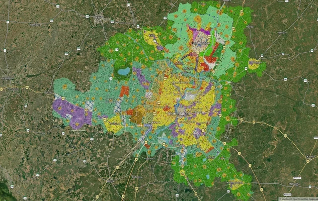
Ahmedabad - Gandhinagar Masterplan
View Ahmedabad - Gandhinagar Masterplan as a live map overlay – check any plot's land use zone for free on 1acre.in. Ahm...
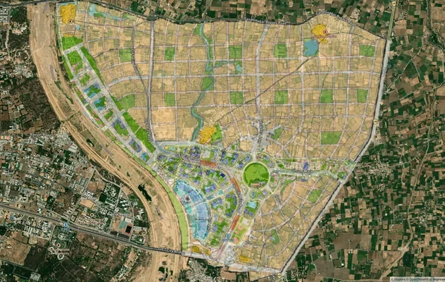
GIFT City Masterplan: GIFT UDA and GUDA Zone Check
View GIFT City Masterplan as a live map overlay – check any plot's land use zone for free on 1acre.in. GIFT City Master ...
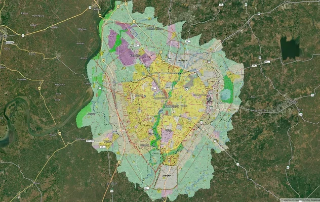
Vadodara VUDA Masterplan 2031: Zone Check and Land Use Guide
View Vadodara Masterplan as a live map overlay – check any plot's land use zone for free on 1acre.in. Vadodara VUDA Mast...
More Layers in Gujarat
Ahmedabad - Gandhinagar Masterplan
View Ahmedabad - Gandhinagar Masterplan as a live map overlay – check any plot's land use zone for free on 1acre.in. Ahm...
GIFT City Masterplan: GIFT UDA and GUDA Zone Check
View GIFT City Masterplan as a live map overlay – check any plot's land use zone for free on 1acre.in. GIFT City Master ...
Vadodara VUDA Masterplan 2031: Zone Check and Land Use Guide
View Vadodara Masterplan as a live map overlay – check any plot's land use zone for free on 1acre.in. Vadodara VUDA Mast...