Vadodara VUDA Masterplan 2031: Zone Check and Land Use Guide
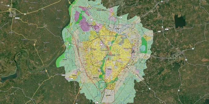
Vadodara Masterplan Preview
Try the Vadodara VUDA Masterplan 2031 on the map
Sign in once and explore the layer for a full day.
- No card details needed
- Find nearby verified lands for sale
Overview
The Vadodara VUDA Master Plan 2031 governs land use, zoning, and development across a planning area of 714.56 sq km spanning Vadodara city and surrounding villages. Implemented by the Vadodara Urban Development Authority (VUDA), established in 1978, the plan was sanctioned by the Gujarat state government on 18 January 2012 and runs until 2031. It classifies every plot as residential, commercial, industrial, or other designated use before any development permission is issued. This layer on 1acre shows the VUDA masterplan overlay and requires a Premium subscription. This page covers zone classification, document traps, and which corridors carry real development potential under this plan.
Zone Certificate Traps Vadodara Buyers Must Verify Before Signing
The single most costly mistake buyers make in the VUDA jurisdiction is purchasing a plot without obtaining a Zoning Certificate from VUDA. Brokers routinely describe periphery land as "residential" based on the seller's claim alone; the plan zone and the seller's claim are often two different things.
VUDA's General Development Control Regulations (GDCR), notified alongside the sanctioned development plan in January 2012, are the binding rules for all land use within VUDA limits. A Gujarat High Court ruling (C/WPPIL/111/2013) confirmed that GDCR rules are enforceable on both citizens and the authority itself, meaning no broker assurance overrides them. The same GDCR introduced a mandatory ~30% or more land set-aside for public purposes when seeking development permission, a rule that directly reduces the buildable area on any large parcel in Vadodara.
The table below shows what VUDA requires before any development permit is issued:
Document
Purpose
Issued By
Fee
Zoning Certificate
Confirms the D.P. zone of the plot
VUDA (Room 107)
₹300 per S.R. No.
D.P. / T.P. Part Plan
Shows plot within the Development Plan map
VUDA
₹400 per S.R. No.
Form-F
Shows final plot area and dimensions
VUDA
₹400 per F.P.
T.P. Part Plan (Scale 1:4)
Detailed final plot layout
VUDA
₹500 per F.P.
If a seller cannot produce the Zoning Certificate for the survey number being offered, do not proceed. That single document, available from Room 107 in VUDA Bhavan, Karelibaug, definitively settles the zone question, everything else is negotiation.
Growth Corridors and Micro-Markets Under the VUDA 2031 Plan
The VUDA Masterplan 2031 projects around 25 sq km of Greenfield conversion from agricultural and open land into built-up use by 2031, driven by industrial peri-urban expansion. Not every corridor benefits equally. Three distinct tiers emerge from current market activity and plan-driven infrastructure.
The table below maps corridors by growth character within the VUDA jurisdiction:
Corridor
Zone Character
Growth Driver
Buyer Risk
Gotri
Established residential
Proximity to Alkapuri; civic amenities
Limited land supply, higher entry prices
Bhayli / Vasna-Bhayli Road
Premium residential, TP schemes active
Western expansion, industrial proximity
Pre-launch projects; verify TP scheme status
Waghodia Road
Emerging affordable residential
NH-48 access, Makarpura GIDC, Halol belt
Infrastructure still maturing
Ajwa Road / Sama-Savli Road
Developing residential and mixed
Ring road alignment, expressway proximity
Agricultural land conversion risk
Atladara / Manjalpur
Final TP schemes sanctioned
VMC-included, lower peripheral risk
Densification pressure on open plots
Waghodia Road is the corridor most misunderstood by buyers: the plan zones many parcels here as developable, but a significant share of plots along the fringe remain agricultural under Gujarat Land Revenue Code classification. Agricultural plots in VUDA jurisdiction require NA (Non-Agricultural) permission under Section 65 of the Gujarat Land Revenue Code before any residential construction can begin. The VUDA masterplan map showing residential zoning does not, by itself, grant NA status.
Was this layer helpful?
Anything wrong, outdated, or missing we want to hear it.
For Land Owners & Agents
Looking to sell your land in Gujarat?
I want to sell my land in Ahmedabad - Gandhinagar
10:32
Plz share your Land's location - We will list it on 1acre map, for Free.
10:32

For Land Buyers
Browse all verified lands & plots in Gujarat
Every listing goes through our Preliminary Verification Process.
More Layers in Gujarat
See all 10 layers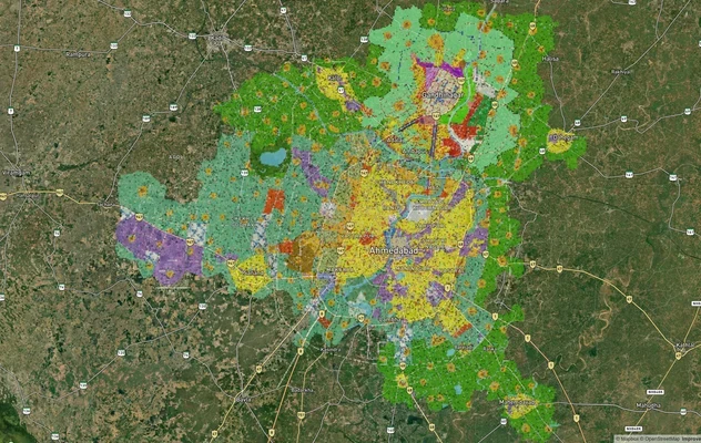
Ahmedabad - Gandhinagar Masterplan
View Ahmedabad - Gandhinagar Masterplan as a live map overlay – check any plot's land use zone for free on 1acre.in. Ahm...
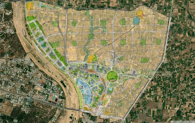
GIFT City Masterplan: GIFT UDA and GUDA Zone Check
View GIFT City Masterplan as a live map overlay – check any plot's land use zone for free on 1acre.in. GIFT City Master ...
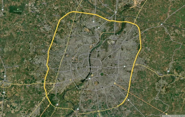
Sardar Patel Ring Road
View the Sardar Patel Ring Road corridor on a live map overlay – check zoning, approvals and acquisition risk free on 1a...
More Layers in Gujarat
Ahmedabad - Gandhinagar Masterplan
View Ahmedabad - Gandhinagar Masterplan as a live map overlay – check any plot's land use zone for free on 1acre.in. Ahm...
GIFT City Masterplan: GIFT UDA and GUDA Zone Check
View GIFT City Masterplan as a live map overlay – check any plot's land use zone for free on 1acre.in. GIFT City Master ...
Sardar Patel Ring Road
View the Sardar Patel Ring Road corridor on a live map overlay – check zoning, approvals and acquisition risk free on 1a...