CMDA Land Use Map: How to Check Zoning in Chennai
The CMDA Land Use Map shows how a plot inside the Chennai Metropolitan Area is officially zoned, and that zoning decides what you can legally build.
The CMDA Land Use Map shows how any plot inside the Chennai Metropolitan Area is officially classified, and that classification decides what you can legally build. Checking it takes a survey number and a few minutes. Skipping it is how buyers end up holding land they cannot use.
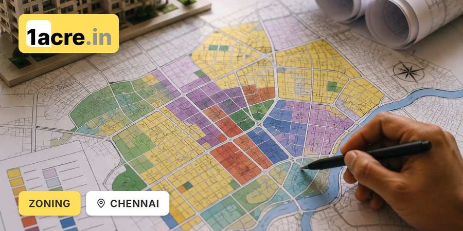
- The map records the zoning of every parcel inside CMDA jurisdiction
- Zoning determines construction sanction, loan approval and lawful use
- The Second Master Plan was notified on 2 September 2008 and covers 1,189 square kilometres
- The wider CMA was expanded to 5,904 square kilometres in October 2022
- Reclassification inside CMDA runs under Section 32 of the T&CP Act 1971, not the 2017 Rules
- A broker's assurance is not proof; a gazette notification number is
What Is the CMDA Land Use Map
The CMDA Land Use Map is the official record of how land inside the Chennai Metropolitan Area is classified for use. It is maintained by the Chennai Metropolitan Development Authority and forms part of the city's master plan.
Every parcel has been assigned a category, and that category decides what is legally permitted on it. A plot can look entirely suitable for a house and still be classified agricultural or reserved, in which case construction is not permitted without formal reclassification. This is why the map sits at the start of due diligence rather than the end.
You can view Chennai's masterplan as a live map overlay to see zone designations against a plot's location.
Why Chennai Zoning Matters Before You Buy or Build
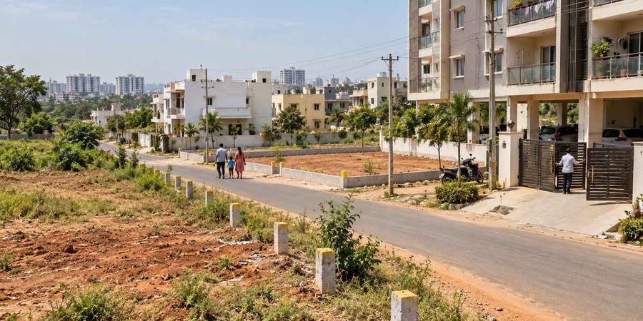
Zoning decides three things that touch your money directly: whether construction can be sanctioned, whether a bank will lend, and whether the property can lawfully be used as you intend.
A plot priced below the surrounding market is sometimes cheap because it sits outside a developed residential pocket, and sometimes cheap because it is zoned for agriculture or industry. No negotiation with the seller changes what the plan says. Buyers who skip this check often discover the problem at building plan sanction or loan application, by which point the money has moved. Checking early either protects you or gives you leverage on price.
Understanding the CMDA Master Plan Structure
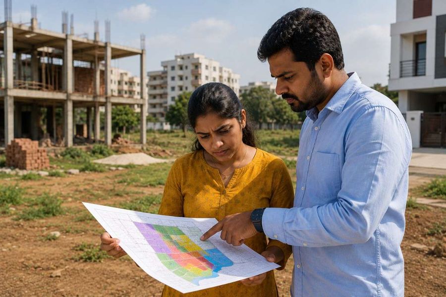
The Second Master Plan for the Chennai Metropolitan Area was notified in the Tamil Nadu Government Gazette on 2 September 2008 and has been in force since. It sets out land use categories and development regulations for the metropolitan area, and any change to a plot's classification runs through that same statutory framework.
Chennai Metropolitan Area Coverage
The Second Master Plan covers approximately 1,189 square kilometres, comprising Chennai city and its immediate suburbs. In October 2022 the wider Chennai Metropolitan Area was expanded to 5,904 square kilometres. The Second Master Plan and the forthcoming Third Master Plan continue to apply to the original 1,189 square kilometres, with a separate Regional Plan expected to govern the newly added area.
If your plot sits near the outer edge, confirm which plan and which authority actually governs it before relying on any zoning read.
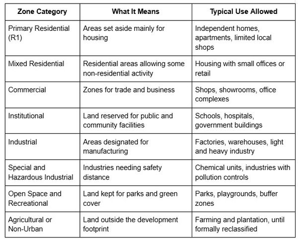
Main Land Use Zoning Categories in Chennai
How to Check the CMDA Land Use Map for a Plot
Gather plot details. Survey number, door number or full address, plus the local body it falls under, whether corporation, municipality or panchayat.
Identify the correct jurisdiction. Confirm whether the plot sits under CMDA, a town panchayat, or the Directorate of Town and Country Planning, since that decides which plan and rules apply.
Check the zoning. Tamil Nadu's planning permission portal at onlineppa.tn.gov.in handles planning applications and approved layout verification, and map overlays let you read the zone against a location.
Read the classification carefully. Note the primary zone and any overlays, including road-widening reservations, buffer zones and heritage restrictions, which can limit use inside an otherwise buildable zone.
Confirm through an official source. Online tools are a first check. For a high-value transaction, confirm with CMDA directly or through a qualified town planning professional before paying.
Pull the Patta, the Revenue Department's Record of Rights showing ownership and land classification, at the same time. The Chitta, which records whether land is Nanjai (wetland) or Punjai (dryland), comes from the same eServices lookup. If the Patta classification says agricultural and the seller says residential, the Patta wins. The Chitta classification guide explains how the wet and dry categories affect what you can do.
A five-minute check before any advance can save months, particularly where zoning lines run close to a property boundary.
What to Do If Your Land Falls in an Unexpected Zone
There is a formal route, but it is neither quick nor certain, and which route applies depends on where the land sits.
Inside CMDA jurisdiction, change of land use is a Master Plan reclassification under Section 32 of the Town and Country Planning Act, 1971. The Tamil Nadu Change of Land Use Rules, 2017 apply to non-planning areas only. The two are not interchangeable, and sellers sometimes present a 2017 Rules order for a parcel inside CMDA limits. Such an order does not apply to that land.
For agricultural land within the CMA, the CMDA process requires Patta, Chitta and Adangal, which is the cultivation record, along with a topo plan of the site, agency clearances, placement before the Technical Committee and the Authority, and two publications in the Tamil Nadu Government Gazette.
Two things to insist on. A file submitted to CMDA is not an approval, and the land remains in its original classification until the process completes. And the change is complete only when the variation is published in the Tamil Nadu Government Gazette. Inside CMDA the application carries a scrutiny fee and publication charges; the 3 percent conversion charge on market value belongs to the 2017 Rules, which do not apply here. If someone says a plot is already converted, ask for the gazette notification number. Without it, treat it as unconverted. The Tamil Nadu land conversion guide sets out both routes in full.
Common Mistakes to Avoid When Checking Zoning
Most zoning disputes trace to a short list of avoidable errors. Taking a broker's verbal assurance instead of checking is the most frequent. Assuming a neighbouring plot's classification applies to yours comes next, when zoning can change from one survey number to the next. Buyers also check only the broad category, such as residential, without reading setback rules, floor space index limits, or reserved areas for roads and utilities sitting inside an otherwise approved zone. Relying on outdated maps or informal screenshots is another, particularly in fast-growing corridors where classifications are periodically revised.
One more, specific to layouts. If you are buying a plot in an approved layout rather than raw land, verify the layout approval itself, including the LP number, road width and open space reservation. The DTCP and CMDA approval guide covers how to check one.
Reading Zoning Against the Ground
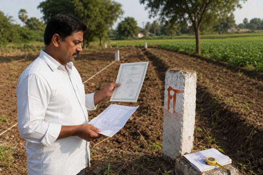
A zone designation tells you what the plan permits. It does not tell you where the plot's boundary actually runs, or whether the parcel a seller walked you across matches the survey number on the documents.
Those are separate checks that fail separately. 1acre maintains a Chennai masterplan overlay for reading zone designations against a location, alongside Tamil Nadu guides covering Patta, land conversion, layout approval and the FMB sketch that records a survey number's measured boundary. Zoning and boundary are both worth confirming before an advance, and neither substitutes for the other.
The honest limit is that a map overlay is a reference layer. For a transaction, the notified Master Plan and CMDA's own written confirmation are the records that carry weight.
Conclusion
Verifying the CMDA Land Use Map is not an extra formality. It is the check that determines whether your plans for a plot are legally possible at all. The classification is public, the check needs only a survey number, and the cost of skipping it runs to lakhs in delays, refused loans or land you cannot build on.
Confirm which authority governs the plot before anything else, since the plan boundary matters near the city edge. Read the zone and its overlays, not just the headline category. Cross-check the Patta classification against what the seller says. If reclassification is claimed, ask for the gazette notification number. And confirm through CMDA directly before any significant payment.
-900x600.jpg)