
ULPIN: What the "Aadhaar for Land" Means for Land Buyers
ULPIN gives each surveyed land parcel a permanent identity, but it does not confirm legal title, so buyers need a title search and legal due diligence.
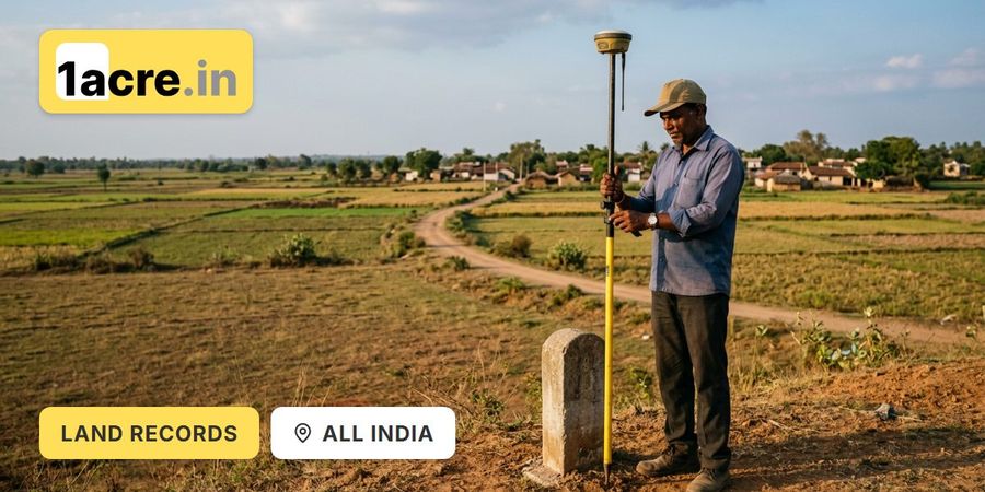
- ULPIN is a 14-digit code assigned to every surveyed land parcel in India, generated from its exact geo-coordinates.
- It's genuinely comparable to Aadhaar for citizens, a single, permanent identity attached to the land regardless of who owns it.
- The rollout targets a real problem: the same plot often carries different identifiers across departments with no automatic link.
- Coverage varies dramatically by state, with some at 100% and others still lagging.
- For buyers, ULPIN means faster verification and a defense against multi-selling fraud once implemented, but it doesn't replace legal due diligence.
What ULPIN Actually Is
ULPIN stands for Unique Land Parcel Identification Number, a 14-digit code assigned to each land parcel, officially called Bhu-Aadhaar. It's part of the Digital India Land Records Modernization Program, designed to uniquely identify every surveyed land parcel based on records of rights alongside its geo-coordinates.
The comparison to citizen Aadhaar isn't just marketing; the logic is genuinely similar. Just as Aadhaar gave every citizen a single, verifiable identity across government systems, ULPIN aims to give every parcel one permanent identity that stays consistent regardless of which department, bank, or registration office is looking at it.
What Problem ULPIN Is Actually Solving
India's land record fragmentation is a genuinely old problem. India has hundreds of millions of land parcels, and until recently each state tracked them differently, using survey numbers, khasra numbers, patta numbers, and other systems that rarely spoke to each other.
The same land might carry a khasra number, a survey number, a tax account number, and a patta number, none linking automatically, exactly the confusion fraudsters exploit. Bhu-Aadhaar can prevent multi-selling fraud, where the same plot sells to multiple buyers, by removing a class of fraud built on land registered under multiple identifiers across departments.
What ULPIN Does, and Doesn't, Replace
A common confusion is assuming ULPIN swaps out identifiers people already know. It doesn't; it sits alongside them as a connector.
Identifier
What It Tracks
Key Limitation
ULPIN / Bhu-Aadhaar
Survey Number
Khasra Number
Patta / Khatauni
Sale Deed
Geo-coordinate identity for the parcel
State reference for a plot within a village
Agricultural plot identifier, northern states
Revenue record of occupancy or tax liability
Legal document transferring ownership
Doesn't confirm legal ownership or title clarity
Can overlap across regions; not geo-referenced
State-specific; doesn't link nationally without ULPIN
A tax record, not proof of clean legal title
Doesn't confirm the seller's title chain is complete
ULPIN doesn't replace survey numbers or property IDs; it bridges existing identifiers under one national framework, which is useful once that linkage is actually completed for a given parcel.
How Far the Rollout Has Actually Reached
Matters in practice, because ULPIN's usefulness depends entirely on whether your land has already been through the process. Coverage varies sharply by state: on the DILRMP dashboard in October 2026, Gujarat, Tamil Nadu, Goa, Tripura, Mizoram and Chandigarh show ULPIN generated in every village, while Odisha, Telangana and West Bengal show little or none. Nationally, the Department of Land Resources reported in November 2025 that over 36 crore land parcels across 29 States and Union Territories had been assigned a ULPIN.
In states where every village shows a ULPIN, there's a strong chance it's covered; in states with little or no coverage, there's a real chance it hasn't been assigned, and no ULPIN means none of the benefits apply yet.

What This Means Practically for Buyers
Where ULPIN has been implemented, it genuinely changes what a buyer or lender can do. As states implement it, they link ULPIN to existing revenue records like 7/12 extracts, khatauni, patta, sale deeds, and municipal tax records, creating a single, auditable trail that didn't exist before.
That linkage has concrete benefits. When a property changes hands, mutation records update under the ULPIN, so buyers and lenders check current status in real time rather than waiting on manual updates across separate offices. If a plot carries a mortgage or dispute, that links to its ULPIN too, letting a buyer spot encumbrances without cross-referencing multiple registries by hand.
What ULPIN Still Doesn't Solve
Despite genuine progress, treating ULPIN as a complete substitute for due diligence is a mistake. It confirms which physical parcel you're looking at and connects existing records to that identity; it doesn't independently verify the seller has clear legal title and can't retroactively catch problems in unregistered transactions.
The rollout gap is the other real limitation. Even in high-coverage states, parcels can still be missing a ULPIN due to incomplete surveying or unresolved boundary disputes, and where none exists, none of the interoperability benefits apply, so traditional verification through survey numbers and an EC remains just as necessary.

How 1acre.in Supports ULPIN-Era Verification
Most buyers checking a ULPIN on a government portal still can't see how that parcel sits within the wider land picture, zoning, restricted zones, and nearby infrastructure. 1acre.in adds that layer.
Verified listings. Every parcel goes through preliminary verification before listing; documents are checked against the state land-records portal, and location is matched to cadastral maps.
Document and compliance guidance. The platform layers master plan data, survey numbers, and restriction zones onto the map, so a parcel's ULPIN-linked records can be read alongside its zoning and risk profile in one place.
Advisory support for larger transactions. For Developer Dashboard deals and the Tag-along model, the internal team handles legal due diligence directly, including cross-checking parcel identity across records.
This doesn't replace an independent title search before registration; it narrows down which parcels are worth verifying first.
Pre-Purchase Checklist
Check whether your state and district have completed the ULPIN rollout, since coverage varies.
If a ULPIN exists, cross-verify it against the survey number, owner name, and description.
Use linked mutation and encumbrance data where available, not as a substitute for a title search. Where no ULPIN exists, rely on survey numbers, revenue records, and an EC.
Bring in a lawyer for anything beyond a routine, low-value purchase.
-900x600.jpg)
-900x600.jpg)
-900x600.jpg)
-900x600.jpg)
-900x600.jpg)
-900x600.jpg)