Derabassi Masterplan GMADA
Derabassi Masterplan Preview
Try the Derabassi Masterplan GMADA on the map
Sign in once and explore the layer for a full day.
- No card details needed
- Find nearby verified lands for sale
Overview
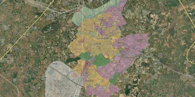
The Derabassi Local Planning Area (LPA) Master Plan 2031 governs land use across the entire Derabassi LPA, a 20 km stretch south of Chandigarh on NH-7 (formerly NH-21) in SAS Nagar (Mohali) district, Punjab. Prepared by the Department of Town and Country Planning, Punjab and administered by GMADA, the plan classifies land into residential (R1–R4), industrial (general, heavy, logistics, technology and R&D), and rural-agricultural zones. This page covers the premium Derabassi Masterplan layer on 1acre, what each zone permits, the regulatory traps that catch buyers off-guard, and the corridors where this plan directly drives land value.Zone Misclassification and Unauthorized Colonies: The Biggest Risk in Derabassi
Derabassi's location on the Chandigarh–Delhi highway has made it one of the fastest-developing corridors in the Greater Mohali Region (GMR), and that speed has attracted colonies that were built first and approved never. GMADA publishes a live list of unauthorized colonies under its jurisdiction, which includes Derabassi. Brokers routinely show buyers plots in colonies that sit in agricultural or industrial zones on the master plan map, without disclosing that the land has no valid Change of Land Use (CLU) from GMADA.
Zone Designations Under the Derabassi Master Plan 2031
The table below shows the key zone designations from the Derabassi Master Plan 2031 map (DTP SAS Nagar sketch 675/10):
Zone Code
Zone Type
Residential Construction?
CLU Required to Change Use?
R1
Residential (dense, near town core)
Yes
No
R2
Residential (secondary areas)
Yes
No
R3
Residential (outer growth areas)
Yes
No
R4
Rural/agricultural settlements
No
Yes
U
Industrial – General
No
Yes
GGA / GHA
Industrial – Heavy / Logistics
No
Yes
FEZ
Free Enterprise Zone (industrial)
No
Yes
Under the Punjab Apartment and Property Regulation Act (PAPRA), any colony development requires a Letter of Intent (LOI) and a formal license from GMADA before a single plot can be sold. A CLU certificate must precede that license. Before signing, ask the seller to show you the CLU drawing number and cross-reference it against the GMADA-approved colonies list at gmada.gov.in. If neither document exists, do not proceed.
Growth Corridors and Micro-Markets Under the Derabassi Masterplan
Two distinct growth stories play out inside the Derabassi LPA, and the master plan treats them very differently.
The table below maps the primary corridors to their plan designation and investment context:
Corridor / Locality
Zone (Master Plan 2031)
Growth Driver
Known Risk
Haripur Hinduan / Saidpura
FEZ + Industrial (General)
Derabassi-Lalru industrial belt; existing factory units
Residential development explicitly prohibited; scattered non-compatible uses flagged in plan
Barwala Road, Saidpura
Industrial – General
Red-category industrial plots; direct link to Chandigarh-Ambala Expressway
Heavy vehicle traffic; limited social infrastructure
Mubarakpur / Mirpur
R2–R3 Residential
PR-10 proposed arterial road alignment; medium-density housing corridor
Some residential colonies pre-date road realignment; title disputes possible near PR-10 corridor
Lalru (adjacent LPA)
Industrial hub (notified 2015, DTP SAS Nagar 2249/2015)
Dedicated industrial land use plan; proximity to NH-5 (formerly NH-22), NH-72, Chandigarh-Ambala rail line
Separate LPA; buyers must verify under Lalru Land Use Plan, not Derabassi Master Plan
Gulabgarh
R3–R4
Low-density residential fringe; proximity to regional greenery
Agricultural zone patches; verify CLU status for any plotted colony
The most misunderstood corridor is Lalru. It falls under a separate Land Use Plan notified in December 2015, not the Derabassi Master Plan 2031. Buyers who assume that a Lalru address falls under the same document are checking the wrong plan entirely, and brokers almost never clarify this distinction.
Was this layer helpful?
Anything wrong, outdated, or missing we want to hear it.
For Land Owners & Agents
Looking to sell your land in Punjab?
I want to sell my land in Punjab
10:32
Plz share your Land's location - We will list it on 1acre map, for Free.
10:32

For Land Buyers
Browse all verified lands & plots in Punjab
Every listing goes through our Preliminary Verification Process.
More Layers in Punjab
See all 8 layers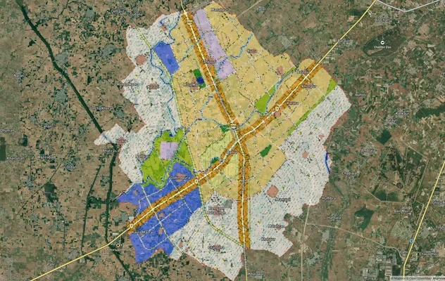
Banur Masterplan
View Banur Masterplan as a live map overlay – check any plot's land use zone for free on 1acre.in. Banur LPA Master Plan...
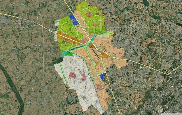
Kharar Masterplan
View Kharar Masterplan as a live map overlay – check any plot's land use zone for free on 1acre.in. Kharar masterplan zo...
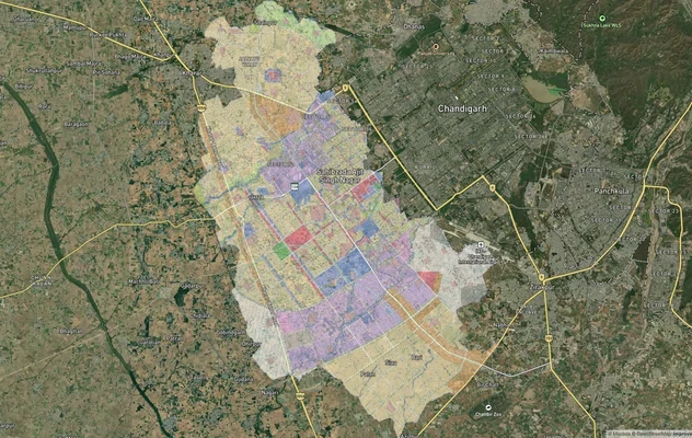
Mohali - SAS Nagar Masterplan
View Mohali - SAS Nagar Masterplan as a live map overlay – check any plot's land use zone for free on 1acre.in. Mohali S...
More Layers in Punjab
Banur Masterplan
View Banur Masterplan as a live map overlay – check any plot's land use zone for free on 1acre.in. Banur LPA Master Plan...
Kharar Masterplan
View Kharar Masterplan as a live map overlay – check any plot's land use zone for free on 1acre.in. Kharar masterplan zo...
Mohali - SAS Nagar Masterplan
View Mohali - SAS Nagar Masterplan as a live map overlay – check any plot's land use zone for free on 1acre.in. Mohali S...