Mullanpur Masterplan
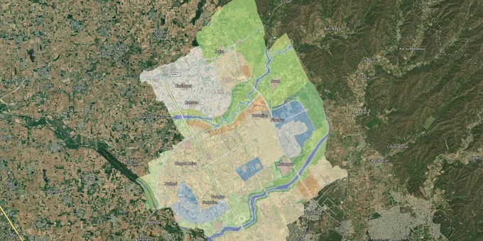
Mullanpur Masterplan Preview
Try the Mullanpur Masterplan on the map
Sign in once and explore the layer for a full day.
- No card details needed
- Find nearby verified lands for sale
Overview
Every plot in Mullanpur gets its development rights from the Mullanpur Local Planning Area (LPA) Master Plan 2008-2031, prepared by the Greater Mohali Area Development Authority (GMADA) under the Punjab Urban Planning and Development Authority (PUDA) for the Greater Mohali Region. The LPA covers a predominantly rural area about 10 km from Chandigarh, with 75.5% of its land under agriculture at baseline. GMADA designated Mullanpur as a "Low Density Country Living and Resort Centre" cluster, not a high-density urban zone. That designation shapes every zoning decision here. Two overlapping restrictions, the Punjab Land Preservation Act (PLPA) and active GMADA land acquisition for Eco City and low-density housing, define what buyers can and cannot do.
Eco City, Mullanpur Garibdas, and Why GMADA's Ongoing Acquisition Makes Private Land Buying Complicated
Mullanpur is where GMADA has been most actively acquiring land. Eco City 1 (400 acres, developed by L&T) was allotted in 2011. Eco City 2 followed with 289 residential plots. GMADA notified acquisition of 713 acres for Eco City and separately, 309 acres from village Mullanpur for a low-density and high-density housing project. In September 2025, The Tribune reported that Punjab scrapped its 2025 Land Pooling Policy and reverted to the 2013 Right to Fair Compensation Act for acquiring further land in Mullanpur for low-density housing, noting The Punjab government announced the compensation award of Rs 1,932.38 crore (Rs 6.24 crore per acre) for 309.30 acres in Mullanpur Garibdas on March 30, 2026. Farmers can opt for cash compensation or developed plots under the optional Land Pooling Policy notified in November 2025.
That active acquisition status is the central risk for private land buyers in Mullanpur. Any plot inside GMADA's notified acquisition boundary may face compulsory purchase at collector-assessed rates, not market rates. The Medicity health zone, with 50 acres allotted to Tata Memorial Centre's Homi Bhabha Cancer Hospital and Research Centre, with 100 acres acquired under land pooling for the Medicity health zone, sits adjacent to PLPA land on the north-east side of the LPA. Buyers confusing Medicity-adjacent land for free-market residential land routinely misjudge what they are actually buying.
Area / Scheme
Zone Context
Growth Driver
Buyer Risk
GMADA Eco City 1 and 2
GMADA-planned residential
Chandigarh spillover, green township
Land pooling LOI resale market; confirm with GMADA
Eco City 3 expansion
Under GMADA acquisition
Expansion of planned township
Active acquisition: compulsory purchase risk
Mullanpur Garibdas village area
Mix-use/rural settlement
Proximity to Chandigarh
Unauthorized colonies on MDR-B arterial road frontage
Medicity zone
Health and institutional
Tata Cancer Hospital, medical cluster
PLPA adjacency; buyers mistake it for open residential
Low-density housing (309 acres, Mullanpur)
GMADA-designated low-density
Shivalik views, eco-town character
Cabinet approval pending; acquisition norms not finalized
The Eco City 1 Land Pooling Letter of Intent (LOI) resale market in Mullanpur is worth understanding separately: farmers who received Land Pooling entitlements (1,000 sq yards of residential plot per acquired acre) transfer these via registered LOI instruments. These are legitimate GMADA-backed instruments but carry their own title chain verification needs.
Was this layer helpful?
Anything wrong, outdated, or missing we want to hear it.
For Land Owners & Agents
Looking to sell your land in Punjab?
I want to sell my land in Punjab
10:32
Plz share your Land's location - We will list it on 1acre map, for Free.
10:32

For Land Buyers
Browse all verified lands & plots in Punjab
Every listing goes through our Preliminary Verification Process.
More Layers in Punjab
See all 8 layers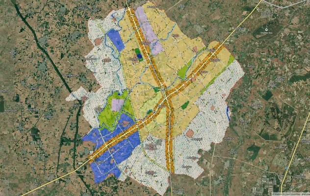
Banur Masterplan
View Banur Masterplan as a live map overlay – check any plot's land use zone for free on 1acre.in. Banur LPA Master Plan...
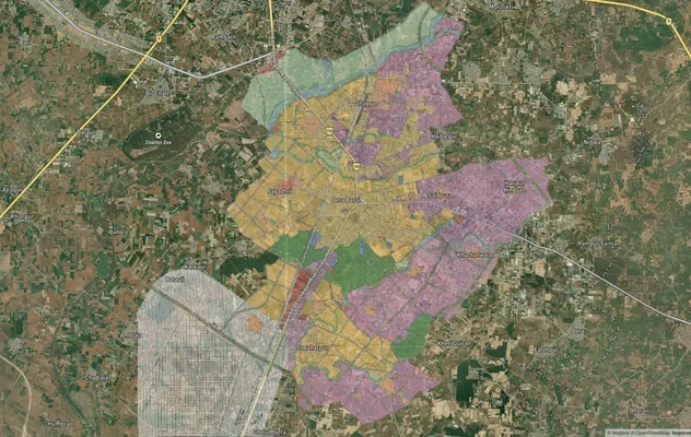
Derabassi Masterplan
View Derabassi Masterplan as a live map overlay – check any plot's land use zone for free on 1acre.in. Derabassi LPA Mas...
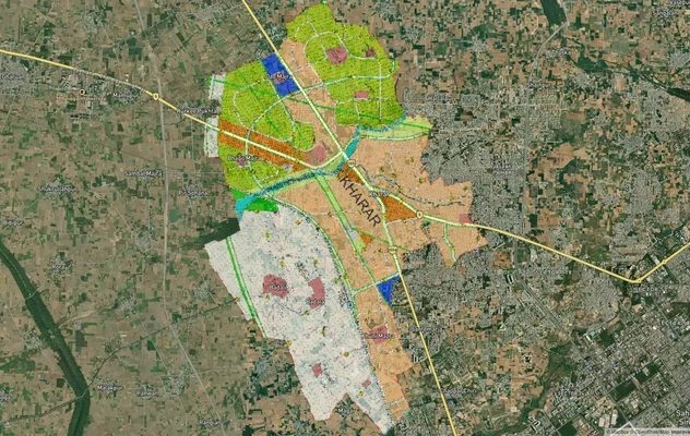
Kharar Masterplan
View Kharar Masterplan as a live map overlay – check any plot's land use zone for free on 1acre.in. Kharar masterplan zo...
More Layers in Punjab
Banur Masterplan
View Banur Masterplan as a live map overlay – check any plot's land use zone for free on 1acre.in. Banur LPA Master Plan...
Derabassi Masterplan
View Derabassi Masterplan as a live map overlay – check any plot's land use zone for free on 1acre.in. Derabassi LPA Mas...
Kharar Masterplan
View Kharar Masterplan as a live map overlay – check any plot's land use zone for free on 1acre.in. Kharar masterplan zo...