
Mokama-Munger Expressway


Mokama Munger Expressway Preview
Try the Mokama-Munger Expressway on the map
Sign in once and explore the layer for a full day.
- No card details needed
- Find nearby verified lands for sale
Overview
Mokama-Munger Expressway land sits along an 82.4 km four-lane greenfield corridor that NHAI is building from Mokama in Patna district to Munger, through Manoharpur and Lakhisarai. Awarded to GR Infraprojects on the Hybrid Annuity Model at about ₹2,441 crore, it forms one leg of the Buxar-Patna-Mokama-Munger axis along the Ganga. But in Bihar the trap is not zoning, it is the land record itself, and right now those records are being redrawn. This page maps the survey traps, the towns that hold value, and the checks to clear before you pay.
Mokama-Munger Expressway Land: The Bihar Land Survey and Diara Trap
A new expressway raises the value of nearby land. It does nothing to fix a broken title, and in this belt titles are the whole game. Bihar is mid-way through a special land survey that is re-verifying ownership, boundaries and khatians village by village, with claims filed on Form-2 and legal-heir details on Form-3 at dlrs.bihar.gov.in. Buy a plot while that survey is open and unsettled, and a neighbour's objection can unwind your purchase months later.
The numbers explain why this matters. The state's own reading is that land disputes sit behind roughly 60 percent of criminal cases in Bihar, which is exactly why every serious buy here starts on the Bihar Bhumi portal, not at the plot. Any Mokama-Munger Expressway land deal should be checked against the jamabandi, the Bhu Naksha and the mutation chain before a single rupee moves.
This is the checklist that separates a clean buy from a survey-season nightmare.
Mokama-Munger Expressway Land: The Bihar Land Survey and Diara Trap
Check
What it proves
Walk away if
Jamabandi and Bhu Naksha on Bihar Bhumi
The recorded owner and the plot's classification
The seller is not the jamabandi holder, or the map shows common land
Dakhil-kharij chain and Sahmati Patra
Clean past mutation and consent from the real holder
Ancestral or joint land is sold without co-sharer consent
Bihar special survey status
The khatian is settled, not under a pending claim
The survey is open with an objection filed on the plot
Land classification
Private buildable land, not Gair Mazarua, Bhoodan or ceiling-surplus
The plot is Ganga diara or government or donated land
NHAI alignment and acquisition
The plot is not part of the acquired greenfield strip
The survey number sits under the corridor already taken
Check
What it proves
Walk away if
Jamabandi and Bhu Naksha on Bihar Bhumi
The recorded owner and the plot's classification
The seller is not the jamabandi holder, or the map shows common land
Dakhil-kharij chain and Sahmati Patra
Clean past mutation and consent from the real holder
Ancestral or joint land is sold without co-sharer consent
Bihar special survey status
The khatian is settled, not under a pending claim
The survey is open with an objection filed on the plot
Land classification
Private buildable land, not Gair Mazarua, Bhoodan or ceiling-surplus
The plot is Ganga diara or government or donated land
NHAI alignment and acquisition
The plot is not part of the acquired greenfield strip
The survey number sits under the corridor already taken
Do the boring checks before you fall for the location. Mokama sits on the Ganga, and the riverside diara land here is a classic Bihar trap: it floods, its boundaries shift, and its title is often murky or state-owned, yet it gets sold as prime road-front. Insist on the Bhu Naksha classification, not a broker's word. Remember too that this is an access-controlled greenfield road, so a plot that faces the carriageway gains a view, not an entrance, because entry comes only at planned interchanges. And since the state government acquires land on NHAI's behalf here, the alignment strip is already spoken for; anyone selling you "expressway land" on that line is selling acquired ground. A clean jamabandi is worth more than a good view.
Mokama to Munger: Where the Corridor Adds Value
Value on this corridor is anchored by two Ganga crossings, not by the expressway alone. Mokama gained a landmark bridge in 2025, and Munger has long had its own, so the ends carry real weight while the middle stays farmland.
This is how the corridor's main nodes compare for a land buyer.
Mokama to Munger: Where the Corridor Adds Value
Node
Growth driver
Known risk
Mokama, Patna district end
Meets the new Aunta-Simaria six-lane Ganga bridge and old grain-trade economy
Ganga diara land, priciest plots, classification risk
Sarmera and Manoharpur
Mid-corridor four-lane tie-in toward Patna
Agricultural, thin demand, records in survey flux
Lakhisarai
District town and rail junction on the alignment
Small market, khatians under active survey
Munger end
Munger Ganga Bridge link toward Khagaria, older industrial base
Far from Patna jobs, flood-prone riverside belts
Node
Growth driver
Known risk
Mokama, Patna district end
Meets the new Aunta-Simaria six-lane Ganga bridge and old grain-trade economy
Ganga diara land, priciest plots, classification risk
Sarmera and Manoharpur
Mid-corridor four-lane tie-in toward Patna
Agricultural, thin demand, records in survey flux
Lakhisarai
District town and rail junction on the alignment
Small market, khatians under active survey
Munger end
Munger Ganga Bridge link toward Khagaria, older industrial base
Far from Patna jobs, flood-prone riverside belts
Mokama is where buyers get seduced and burned in the same breath. The Aunta-Simaria bridge, opened in August 2025 as one of Asia's widest six-lane river crossings, turned Mokama into a genuine North-South Bihar hinge, because much of the attractive riverfront is floodplain with contested title. Lakhisarai and Manoharpur are calmer, cheaper and more honest, but they reward patience rather than a quick flip. Munger carries real long-term weight through its bridge and industry, yet it sits far enough from Patna that the payoff is slow. Across the whole corridor the rule is plain. If the jamabandi, the Bhu Naksha and the survey status do not all point to the same clean owner, that plot is a dispute waiting to happen, not an investment.
Was this layer helpful?
Anything wrong, outdated, or missing we want to hear it.
For Land Owners & Agents
Looking to sell your land in Bihar?
I want to sell my land in Bihar
10:32
Plz share your Land's location - We will list it on 1acre map, for Free.
10:32


For Land Buyers
Browse all verified lands & plots in Bihar
Every listing goes through our Preliminary Verification Process.
More Layers in Bihar
See all 15 layers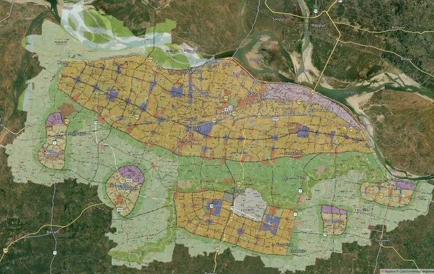
Patna Masterplan
View Patna Masterplan as a live map overlay – check any plot's land use zone for free on 1acre.in. Patna masterplan land...

# Amas Darbhanga Expressway Darbhanga Land: Zone Check and Buyer Guide for Package 4
Package 4 runs 42.21 km from Balbhadarpur to Bela Nawada on NH-119D. Gazette status and the Darbhanga land checks that m...
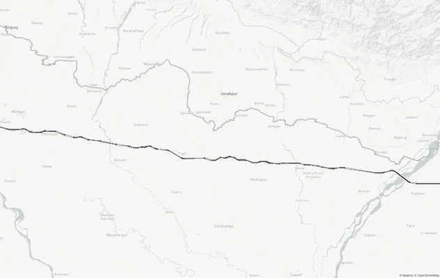
Gorakhpur - Siliguri Expressway
View Gorakhpur - Siliguri Expressway alignment as a live map overlay – check land acquisition risk and plot proximity fr...
More Layers in Bihar
Patna Masterplan
View Patna Masterplan as a live map overlay – check any plot's land use zone for free on 1acre.in. Patna masterplan land...
# Amas Darbhanga Expressway Darbhanga Land: Zone Check and Buyer Guide for Package 4
Package 4 runs 42.21 km from Balbhadarpur to Bela Nawada on NH-119D. Gazette status and the Darbhanga land checks that m...
Gorakhpur - Siliguri Expressway
View Gorakhpur - Siliguri Expressway alignment as a live map overlay – check land acquisition risk and plot proximity fr...