
Parsarma to Araria Greenfield Highway


Parsarma To Araria Greenfield Highway Preview
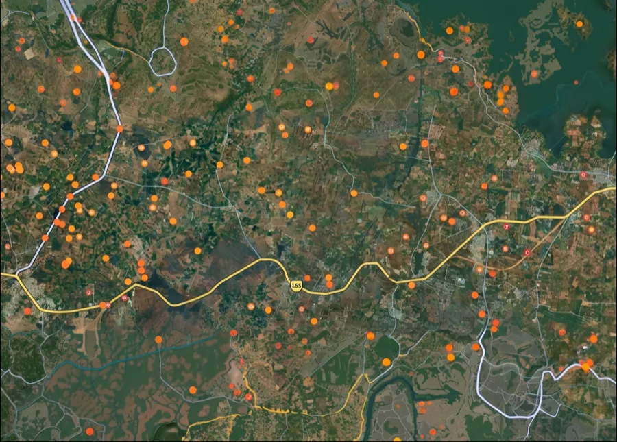
Try the Parsarma to Araria Greenfield Highway on the map
Sign in once and explore the layer for a full day.
- No card details needed
- Find nearby verified lands for sale
Overview
Parsarma Araria Highway NH-327E land acquisition covers a 102.193 km stretch being upgraded to 2-lane with paved shoulders under Hybrid Annuity Mode, connecting Parsarma to Araria through Bihar's Seemanchal region. Parsarma to Araria Greenfield Highway is a live on 1acre. NHAI awarded the contract to Dineshchandra R. Agrawal Infracon Pvt. Ltd. with a Letter of Award dated 30 March 2026. This page covers the project's scope, a directly relevant land corruption case from the exact districts this highway runs through, and where Purnea's growth is currently concentrating.
NH-327E Scope and a Seemanchal Land Corruption Case
NH-327E runs through the Kosi-Seemanchal region, connecting districts including Purnea, Araria, and Kishanganj, an area also known as Seemanchal for its proximity to the Bangladesh border. This particular stretch, Parsarma to Araria, is an upgrade project rather than a fresh six-lane greenfield build, distinguishing it from the larger Patna-Purnia Expressway that also runs through the region. A separate section of the same highway, the 45 km Bahadurganj-Araria stretch, has already been four-laned by NHAI, showing the corridor is being developed in phases rather than as one continuous project.
NH-327E Scope and a Seemanchal Land Corruption Case
Section
Scope
Status
Parsarma to Araria (this project)
2-lane with paved shoulders upgrade on Hybrid Annuity Mode
LOA awarded 30 March 2026
Bahadurganj to Araria
Four-laning
Already completed under a separate NHAI package
Wider NH-327E corridor
Connects Purnea, Araria, and Kishanganj districts
Multiple packages at different stages
Buyers in this exact region should be aware of a documented land corruption case directly relevant to due diligence here. Bihar's Economic Offences Unit raided the Kishanganj Sub-Divisional Police Officer in 2026, uncovering more than 25 land plots along with benami property, much of it accumulated during a posting that covered Kishanganj, Araria, Purnea and Katihar, precisely the districts this highway serves. This is not an isolated finding: Bihar has separately moved to set up an AI-assisted committee specifically to clear a long-standing backlog of unresolved land disputes in its revenue department, and the state government has issued ultimatums to officials over pending revenue cases across districts including Araria, Purnia, and Kishanganj. Before any transaction near this corridor, verify title through eJami and confirm the seller's name against the current, not historical, Jamabandi entry, since land record manipulation by officials themselves has been documented in this exact region.
Purnea's Growth Corridor: A New Airport and Regional Investment Push
Purnea's own growth story just changed materially. In September 2025, the Prime Minister inaugurated the newly built Purnea airport and launched domestic flight services, part of a broader package of over Rs 40,000 crore in development projects announced for the district, including the National Makhana Board headquartered in Bihar and a 2,400 MW thermal power project at Pirpainti in nearby Bhagalpur district.
Purnea's Growth Corridor: A New Airport and Regional Investment Push
Growth Driver
What It Means
Known Risk
Purnea Airport (opened Sept 2025)
Domestic flight connectivity newly established
Land near the airport corridor faces its own separate acquisition notifications; check Purnea district's Land Acquisition Office notices directly
National Makhana Board
Bihar produces roughly 90% of India's Makhana; hub districts include Purnea, Araria, Kishanganj
Agricultural land value driver, not directly tied to highway acquisition
Kishanganj tea estates
Kishanganj is Bihar's only tea-producing district
Distinct land-use category; verify classification before assuming standard agricultural conversion rules apply
Bahadurganj-Araria four-lane stretch
Already completed NH-327E upgrade
Precedent for how the Parsarma-Araria section may eventually develop
The most useful signal for buyers is that Purnea's growth is no longer purely road-driven. An operational airport, a national board headquarters, and a major regional power project all landed within the same year, layered on top of an ongoing highway upgrade. That combination raises the odds of sustained appreciation along the Purnea-Araria-Kishanganj belt, but it also means more moving parts to verify: airport-linked acquisition notices, highway corridor notices, and the underlying land record integrity issues already flagged by Bihar's own anti-corruption unit in this specific region all need separate confirmation before any purchase.
For Land Owners & Agents
Looking to sell your land in Bihar?
I want to sell my land in Bihar
10:32
Plz share your Land's location - We will list it on 1acre map, for Free.
10:32

For Land Buyers
Browse all verified lands & plots in Bihar
Every listing goes through our Preliminary Verification Process.
More Layers in Bihar
See all 15 layers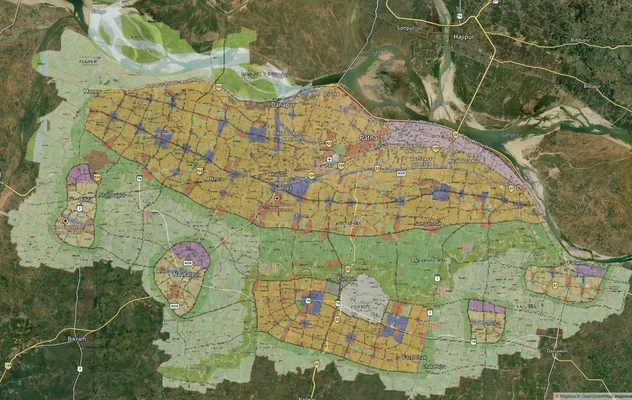
Patna Masterplan 2031: Zone Map, PDF and Townships
Find the Patna Master Plan 2031 PDF, Greater Patna area list, planning zones and Pataliputra satellite township status, ...

# Amas Darbhanga Expressway Darbhanga Land: Zone Check and Buyer Guide for Package 4
Package 4 runs 42.21 km from Balbhadarpur to Bela Nawada on NH-119D. Gazette status and the Darbhanga land checks that m...
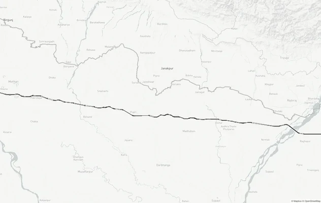
Gorakhpur - Siliguri Expressway
View Gorakhpur - Siliguri Expressway alignment as a live map overlay – check land acquisition risk and plot proximity fr...
More Layers in Bihar
Patna Masterplan 2031: Zone Map, PDF and Townships
Find the Patna Master Plan 2031 PDF, Greater Patna area list, planning zones and Pataliputra satellite township status, ...
# Amas Darbhanga Expressway Darbhanga Land: Zone Check and Buyer Guide for Package 4
Package 4 runs 42.21 km from Balbhadarpur to Bela Nawada on NH-119D. Gazette status and the Darbhanga land checks that m...
Gorakhpur - Siliguri Expressway
View Gorakhpur - Siliguri Expressway alignment as a live map overlay – check land acquisition risk and plot proximity fr...
Frequently Asked Questions
It is a 102.193 km upgrade of NH-327E to 2-lane with paved shoulders standard, executed on Hybrid Annuity Mode by NHAI in Bihar.
The project spans 102.193 km, and the Letter of Award was issued to Dineshchandra R. Agrawal Infracon Pvt. Ltd. on 30 March 2026.
It is an upgradation of an existing highway to a 2-lane with paved shoulders standard, distinct from a fresh greenfield six-lane build like the nearby Patna-Purnia Expressway.
The corridor connects to Purnea, Araria, and Kishanganj districts, part of the Kosi-Seemanchal subregion that also includes Katihar, Madhepura, Saharsa, and Supaul.
Yes. Bihar's Economic Offences Unit raided a Kishanganj SDPO in 2026 and recovered more than 25 land plots and other benami assets accumulated during a posting covering Kishanganj, Araria, Purnea, and Katihar.
Bihar has launched an AI-assisted committee specifically to address a large backlog of unresolved revenue and land disputes, and has issued ultimatums to officials in districts including Araria and Kishanganj, signalling the scale of unresolved cases buyers may encounter.
Purnea's own airport opened in September 2025 with domestic flight services, alongside the launch of the National Makhana Board and the foundation stone for a 2,400 MW thermal power project at nearby Pirpainti.
Yes. Kishanganj is Bihar's only tea-producing district, giving parts of it a distinct land-use classification that buyers should verify separately from standard agricultural land categories.
Source
Official government land and infrastructure records
Official Website
nhai.gov.in
Coordinate Reference System
EPSG:4326 (WGS 84)
Geometry Type
LineString / MultiLineString
Data Format
Vector (GeoJSON) + Raster Tiles
Last Verified
2026
Status
Active
Was this layer helpful?
Anything wrong, outdated, or missing we want to hear it.