
Indore-Bhopal Expressway


Indore_bhopal_expressway Preview
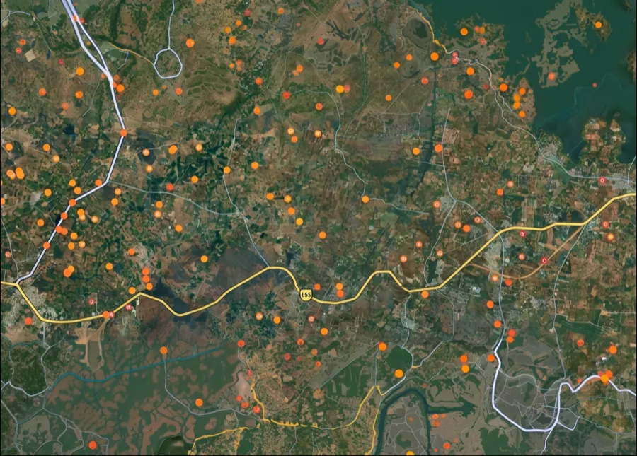
Try the Indore-Bhopal Expressway on the map
Sign in once and explore the layer for a full day.
- No card details needed
- Find nearby verified lands for sale
Overview
The Indore Bhopal expressway land buying picture requires care right now, because there appear to be two related but distinct project phases under similar names, and confusing them could mean tracking the wrong alignment. The National Highways Authority of India prepared a proposal for a new expressway between Bhopal and Indore, sent to the central government, which would reduce the travel distance from 200 km to 145 km, cutting the journey to roughly two hours, with three route options developed, two connecting the Western Bypass to the Indore Eastern Ring Road and one connecting Mandideep to the Eastern Ring Road. This is distinct from, though possibly builds on, an earlier MPRDC-led six-lane expressway project along the existing corridor.
Regulatory Red Flags: Land Acquisition Across Two Project Phases
Buyers need to be careful here specifically because the acquisition figures differ significantly depending on which phase of this project is being referenced, and getting that wrong could mean tracking outdated boundaries.
Project Phase
Length
Land Acquisition
Status
Earlier MPRDC six-lane project (reported 2019)
Roughly 170 km along existing corridor
1,500 hectares, Rs 530 crore earmarked
Land acquisition process had commenced, targeted for December 2022 completion
Newer NHAI high-speed corridor (reported 2025-2026)
Shortened to approximately 145 km via new alignment
Approximately 11 hectares surveyed across Bhopal, Sehore, and Dewas districts in initial phase; separately cited as 1,100 hectares overall (mostly government land)
DPR submitted to Centre, target completion 2028-29
Approximately 11 hectares of land will be acquired in three districts, Bhopal, Sehore, and Dewas, for this newer expressway proposal, with demarcation and full land acquisition to begin only after central government approval of the final alignment. Separately, another current account of the project cites a much larger figure of 1,100 hectares of land acquisition, described as mostly government land, with the project's Detailed Project Report already submitted to the Centre and a target completion window of 2028-29.
That gap between an 11-hectare initial survey figure and a 1,100-hectare overall project figure likely reflects different stages of the same acquisition process, an early demarcation survey versus the full corridor footprint, but buyers should treat this as an open question requiring direct confirmation from MPRDC or NHAI rather than assume either figure alone represents the complete picture.
Growth Corridors: Mandideep, Kolar, Ashta, and the Industrial Belt
This corridor is explicitly designed as an economic corridor, not just a faster commute, and the entry-point structure reflects that intent directly. Under the earlier MPRDC-led plan, the expressway was designed with only seven entry and exit points along its full length, specifically located at towns including Kolar, Mandideep, and Ashta, meaning vehicles, including buses would only be able to board or disembark at these authorized points rather than anywhere along the route.
Node
Role
Current Relevance
Mandideep
Entry point, industrial belt near Bhopal
One of the three route options for the newer corridor connects Mandideep directly to the Indore Eastern Ring Road
Kolar
Entry point, Bhopal-adjacent growth zone
Named limited-access point under the earlier six-lane plan
Ashta, Sonkatchh
Existing congestion points on the current highway
Frequent jams at Sehore, Ashta, and Sonkatchh are cited as the specific reason the newer high-speed expressway is needed
Industrial corridors, multi-logistics parks, and warehouses are planned along the new expressway, with 59 villages across 7 tehsils expected to see a direct development push, and the existing Bhopal-Indore highway currently carries over 30,000 vehicles daily, well beyond what the current road was designed to handle.
That combination, a congested existing highway feeding directly into a planned logistics and industrial buildout, is precisely the kind of setup that tends to draw both genuine long-term industrial demand and short-term speculative land activity simultaneously along the new alignment, particularly near the named entry and interchange points. Buyers should treat the final approved alignment, not the older or general corridor description, as the only reliable basis for evaluating any specific parcel.
For Land Owners & Agents
Looking to sell your land in Madhya Pradesh?
I want to sell my land in Madhya Pradesh
10:32
Plz share your Land's location - We will list it on 1acre map, for Free.
10:32

For Land Buyers
Browse all verified lands & plots in Madhya Pradesh
Every listing goes through our Preliminary Verification Process.
More Layers in Madhya Pradesh
See all 10 layers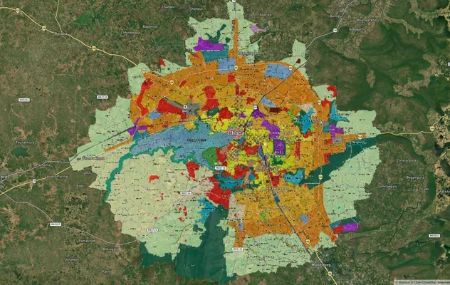
Bhopal Master Plan 2031 and 2047 Draft: TNCP Zone Check
TNCP Bhopal land use map, master plan status as of October 2026, the 2047 draft and where the official PDF is published....
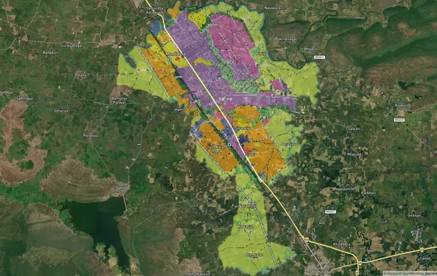
Mandideep Masterplan 2031: Zone Check and Land Use Guide
View Mandideep Masterplan as a live map overlay – check any plot's land use zone for free on 1acre.in. Mandideep Master ...
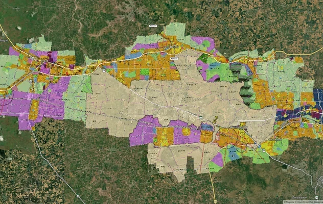
Pithampur Development Plan 2035: DMIC Zone Check and Land Use Guide
View Pithampur Masterplan as a live map overlay – check any plot's land use zone for free on 1acre.in. Pithampur masterp...
More Layers in Madhya Pradesh
Bhopal Master Plan 2031 and 2047 Draft: TNCP Zone Check
TNCP Bhopal land use map, master plan status as of October 2026, the 2047 draft and where the official PDF is published....
Mandideep Masterplan 2031: Zone Check and Land Use Guide
View Mandideep Masterplan as a live map overlay – check any plot's land use zone for free on 1acre.in. Mandideep Master ...
Pithampur Development Plan 2035: DMIC Zone Check and Land Use Guide
View Pithampur Masterplan as a live map overlay – check any plot's land use zone for free on 1acre.in. Pithampur masterp...
Frequently Asked Questions
The research points to what appear to be two related phases: an earlier ~170 km MPRDC six-lane project reported around 2019, and a newer, shorter NHAI high-speed corridor proposal reported through 2025-2026. Whether the newer proposal supersedes or builds on the earlier one hasn't been confirmed and should be checked directly with MPRDC or NHAI.
The newer NHAI proposal would cut the distance from 200 km to 145 km, reducing travel time to roughly two hours.
Bhopal, Sehore, and Dewas districts are named for the initial land survey phase.
A target completion window of 2028-29 has been cited for the newer high-speed corridor.
59 villages across 7 tehsils are expected to see a direct development push from industrial corridors, logistics parks, and warehouses planned along the expressway.
The existing Bhopal-Indore highway carries over 30,000 vehicles daily and faces frequent jams at Sehore, Ashta, and Sonkatchh, with commercial activity and tolls slowing traffic further, making the current road insufficient for growing demand.
Yes. The earlier MPRDC plan specified only seven entry points along the entire route, at towns including Kolar, Mandideep, and Ashta, meaning vehicles could only board or disembark at these authorised locations.
Not as of the most recent reporting. Three route options were under consideration, with the final decision resting with the central government before demarcation and land acquisition could formally begin.
Source
Official Madhya Pradesh Road Development Corporation (MPRDC) documents
Official Website
mprdc.gov.in
Coordinate Reference System
EPSG:4326 (WGS 84)
Geometry Type
LineString / MultiLineString
Data Format
Vector (GeoJSON) + Raster Tiles
Last Verified
2026
Status
Active
Was this layer helpful?
Anything wrong, outdated, or missing we want to hear it.