
Ujjain-Jaora Expressway


Ujjain Jaora Expressway Preview
Try the Ujjain-Jaora Expressway on the map
Sign in once and explore the layer for a full day.
- No card details needed
- Find nearby verified lands for sale
Overview
The Ujjain Jaora Greenfield Expressway is a 98.73 km, 4-lane access-controlled corridor being built by MPRDC on Hybrid Annuity Model at ₹5,017 crore, connecting Ujjain to the Delhi-Mumbai Expressway near village Bhutheda in Jaora tehsil, Ratlam district.
Chief Minister Mohan Yadav performed the bhoomi pujan on 11 July 2026, targeting completion by December 2027 ahead of Simhastha 2028. This overlay maps the alignment across roughly 62 villages in Ujjain and Ratlam districts.
This page covers how the corridor changes land value, why MP diversion orders decide buildability, and the checks buyers must run before signing.
MP Bhu Rajaswa Sanhita 1959 Diversion and the Bhulekh Khasra Check
Two rulebooks decide every transaction on this corridor. First, the MP Bhu Rajaswa Sanhita 1959 requires a formal bhu-parivartan (diversion) order from the SDM or Collector before any agricultural khasra can be used for residential, commercial, or industrial purposes.
Second, any khasra falling inside the MPRDC-notified strip is subject to award proceedings under the state's land acquisition framework, and clean transfer becomes impossible from the notification date.
MP Bhulekh at mpbhulekh.gov.in shows both entries when the naksha and khasra are pulled together.
The table below shows the document stack every buyer must verify along the Ujjain Jaora Greenfield Expressway route.
MP Bhu Rajaswa Sanhita 1959 Diversion and the Bhulekh Khasra Check
Document / Register
What It Confirms
Where to Verify
Common Trap
MPRDC acquisition notification
Corridor strip
MPRDC + Tehsildar file
Sold as farmland already notified
Khasra / khatauni
Ownership entry and land use
MP Bhulekh khasra khatauni check
Old khasra not matching current bandobast
Bhu-parivartan (diversion) order
Change from krishi to non-agricultural
SDM/Collector office
Application pending shown as approved
CLU / colony approval
Colonizer licence for layouts
T&CP Department
Layout without RERA registration
Naksha / patwari map
Plot boundary and access
MP Bhulekh + Patwari
Phantom access road on periphery
Ujjain Master Plan zone
Buildable use under Adhiniyam 1973
Ujjain UDA / T&CP office
Green belt marketed as residential
Document / Register
What It Confirms
Where to Verify
Common Trap
MPRDC acquisition notification
Corridor strip
MPRDC + Tehsildar file
Sold as farmland already notified
Khasra / khatauni
Ownership entry and land use
MP Bhulekh khasra khatauni check
Old khasra not matching current bandobast
Bhu-parivartan (diversion) order
Change from krishi to non-agricultural
SDM/Collector office
Application pending shown as approved
CLU / colony approval
Colonizer licence for layouts
T&CP Department
Layout without RERA registration
Naksha / patwari map
Plot boundary and access
MP Bhulekh + Patwari
Phantom access road on periphery
Ujjain Master Plan zone
Buildable use under Adhiniyam 1973
Ujjain UDA / T&CP office
Green belt marketed as residential
If the seller cannot show a fresh MP Bhulekh khasra extract, a sanctioned diversion order, and a written NOC that the khasra falls outside the MPRDC notification, stop the transaction. Small-town patwari receipts do not cover a missing diversion, and a colonizer brochure showing "expressway view" is not a substitute for a certified zone map.
Growth Corridors Across Nagda Khachrod Unhel Tehsil Villages
The alignment passes 30 villages across Nagda, Khachrod, and Unhel tehsils in Ujjain district, plus 12 villages in Jaora tehsil of Ratlam district, terminating at the Bhutheda interchange on the Delhi-Mumbai Expressway.
That distribution decides which pockets see real land-value uplift versus which see only acquisition notices. Direct-interchange villages behave differently from mid-corridor farmland.
The table below sorts the notable localities by transaction profile.
Growth Corridors Across Nagda Khachrod Unhel Tehsil Villages
Corridor / Locality
District
Growth Driver
Known Risk
Bhutheda, Dodiyana, Laliyan
Ratlam (Jaora tehsil)
Direct DME interchange
Notified strip, no private transfer
Nibodiya Khurd, Pansalod, Bhatisuda
Ratlam
Package 1 alignment villages
Missing diversion orders
Nagda, Khachrod
Ujjain district
Industrial and rail junction
Green belt overlap on outskirts
Unhel
Ujjain district
Mid-corridor freight logistics
Agricultural without CLU
Ghinoda, Meen, Kundala
Ujjain district
Ujjain-approach villages
Simhastha 2028 buffer restrictions
Ujjain city outskirts
Ujjain
Simhastha economy, temple tourism
Master Plan green belt zoning
Corridor / Locality
District
Growth Driver
Known Risk
Bhutheda, Dodiyana, Laliyan
Ratlam (Jaora tehsil)
Direct DME interchange
Notified strip, no private transfer
Nibodiya Khurd, Pansalod, Bhatisuda
Ratlam
Package 1 alignment villages
Missing diversion orders
Nagda, Khachrod
Ujjain district
Industrial and rail junction
Green belt overlap on outskirts
Unhel
Ujjain district
Mid-corridor freight logistics
Agricultural without CLU
Ghinoda, Meen, Kundala
Ujjain district
Ujjain-approach villages
Simhastha 2028 buffer restrictions
Ujjain city outskirts
Ujjain
Simhastha economy, temple tourism
Master Plan green belt zoning
The most misread pocket is the Bhutheda Jaora Delhi Mumbai interchange belt. Buyers assume every parcel within a few kilometres of the interchange carries certain uplift. In reality, MPRDC's notified alignment strip covers named survey numbers only, and adjoining khasras remain agricultural until a diversion order is passed. Confirm the exact khasra status before treating any Bhutheda-side plot as expressway land.
For Land Owners & Agents
Looking to sell your land in Madhya Pradesh?
I want to sell my land in Madhya Pradesh
10:32
Plz share your Land's location - We will list it on 1acre map, for Free.
10:32

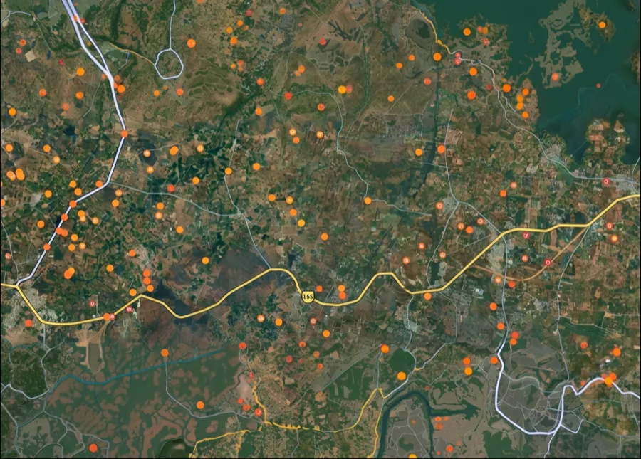
For Land Buyers
Browse all verified lands & plots in Madhya Pradesh
Every listing goes through our Preliminary Verification Process.
More Layers in Madhya Pradesh
See all 10 layers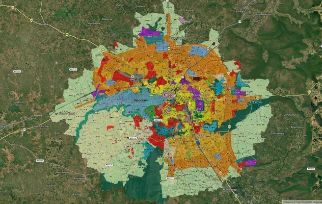
Bhopal Master Plan 2031 and 2047 Draft: TNCP Zone Check
TNCP Bhopal land use map, master plan status as of October 2026, the 2047 draft and where the official PDF is published....
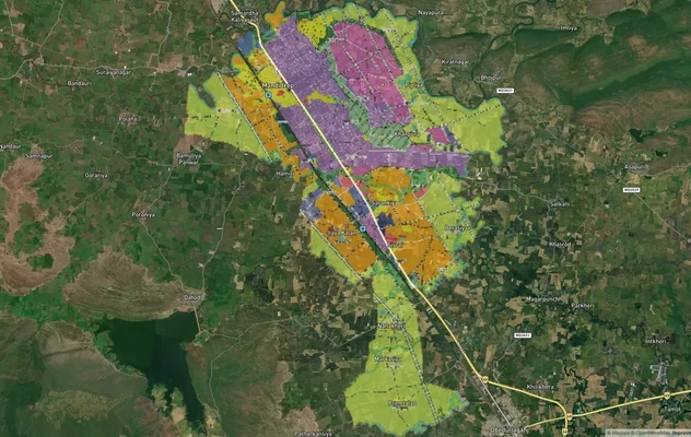
Mandideep Masterplan 2031: Zone Check and Land Use Guide
View Mandideep Masterplan as a live map overlay – check any plot's land use zone for free on 1acre.in. Mandideep Master ...
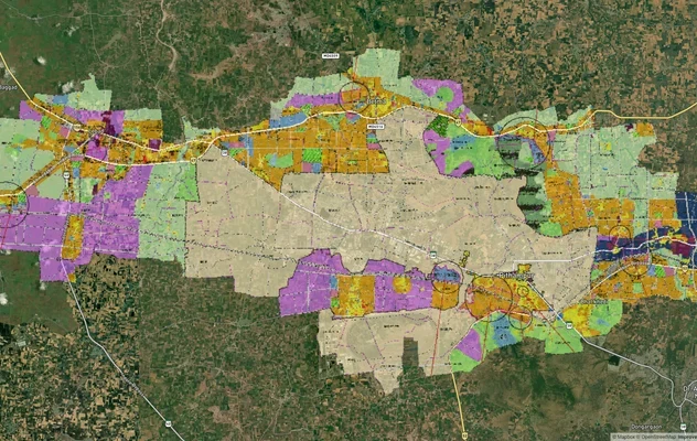
Pithampur Development Plan 2035: DMIC Zone Check and Land Use Guide
View Pithampur Masterplan as a live map overlay – check any plot's land use zone for free on 1acre.in. Pithampur masterp...
More Layers in Madhya Pradesh
Bhopal Master Plan 2031 and 2047 Draft: TNCP Zone Check
TNCP Bhopal land use map, master plan status as of October 2026, the 2047 draft and where the official PDF is published....
Mandideep Masterplan 2031: Zone Check and Land Use Guide
View Mandideep Masterplan as a live map overlay – check any plot's land use zone for free on 1acre.in. Mandideep Master ...
Pithampur Development Plan 2035: DMIC Zone Check and Land Use Guide
View Pithampur Masterplan as a live map overlay – check any plot's land use zone for free on 1acre.in. Pithampur masterp...
Frequently Asked Questions
The alignment is officially fixed. It begins near Ujjain and terminates at village Bhutheda in Jaora tehsil of Ratlam district, connecting directly to the Delhi-Mumbai Expressway. The 98.73 km MPRDC hybrid annuity model corridor passes roughly 62 villages across two districts.
The current sanctioned cost is ₹5,017 crore under Hybrid Annuity Model (HAM) in PPP mode, built by MPRDC. Earlier tenders were placed around ₹2,080 crore and were revised and re-tendered before the July 2026 bhoomi pujan by the Chief Minister.
The corridor passes 30 villages across Nagda, Khachrod, and Unhel tehsils of Ujjain district and 12 villages in Jaora tehsil of Ratlam. Named villages include Bhutheda, Dodiyana, Laliyan, Ghinoda, Meen, Kundala, Nagjhari, Bhatkhedi, and Banjari.
Not formally a spur under NHAI's DME network, but functionally the same. It connects Ujjain directly to the DME at the Bhutheda interchange near Jaora, giving Malwa region traffic access to the DME without routing through Garoth. MPRDC executes it, not NHAI.
Officially targeted for December 2027 to serve pilgrim inflow at Simhastha 2028. The Chief Minister confirmed this timeline at the July 2026 bhoomi pujan. Construction contract carries a two-year deadline from the appointed date under HAM terms.
The project owner is the Madhya Pradesh Road Development Corporation (MPRDC). LLC Volgdorstroy Company won the construction tender at approximately ₹2,080 crore under the earlier scope; the project has since been reworked at the ₹5,017 crore full-cost figure.
Bhu-parivartan is the diversion order under the MP Bhu Rajaswa Sanhita 1959, issued by the SDM or Collector, converting krishi land to non-agricultural use. Without a sanctioned diversion and matching CLU where applicable, no construction is legal on farmland along the alignment.
The corridor runs 98.73 km as a 4-lane access-controlled greenfield expressway, built by MPRDC on the Hybrid Annuity Model at Rs 5,017 crore, connecting Ujjain to the Delhi-Mumbai Expressway near village Bhutheda in Jaora tehsil, Ratlam district.
Source
Official government land and infrastructure records
Official Website
mprdc.mp.gov.in
Coordinate Reference System
EPSG:4326 (WGS 84)
Geometry Type
LineString / MultiLineString
Data Format
Vector (GeoJSON) + Raster Tiles
Last Verified
2026
Status
Active
Was this layer helpful?
Anything wrong, outdated, or missing we want to hear it.