
Sagar Bypass
Overview
The Sagar Bypass land records question sits inside a genuinely unusual moment for this Madhya Pradesh city, one worth understanding clearly before looking at anything else. Recent reporting describes Sagar as India's first city to gain National Highway junction status, meaning four-lane, all-weather roads now reach outward from it in nearly every direction at once, rather than funnelling through a single crowded stretch the way most district towns in the state still do today. The specific project behind this layer is a four-lane greenfield western bypass, a brand-new road built on a fresh alignment rather than an upgrade of an existing one, running roughly 20 kilometres from a junction on NH-146 near Lahdara village to a junction on NH-44 near Berkheri Guru village. As of early 2026, the project was valued near 97 million dollars and still moving through its tender stage, meaning the winning contractor had not yet even been finalised at that point. Land here is verified through MP Bhulekh, the state's land record portal, where every parcel now carries its own unique digital identity number tied to its exact GPS location rather than just a written description. This guide walks through what that record actually shows, and what Sagar's rapidly growing highway network genuinely does and does not mean for land value nearby right now.
Regulatory Red Flags Around the Sagar Bypass
Start with the land record system itself, because Madhya Pradesh has changed how ownership actually gets verified in ways that matter directly here, and understanding that change first makes everything else easier to follow. Every parcel on MP Bhulekh now carries a fourteen-digit code called a Unique Land Parcel Identification Number, often shortened simply to ULPIN. Think of it as a fingerprint for the plot itself: it is generated from the land's actual GPS coordinates, not merely its written address on some old paper record, and it exists specifically to stop the same piece of land from being sold twice under two slightly different descriptions to two different buyers. That kind of duplicate-sale risk rises sharply in any area where a new road is pulling in fresh buyer interest, which is exactly the situation now building around this bypass as word of it spreads. Before treating any plot near the alignment as safe to buy, pull its Khasra, the individual plot record, and its Khatauni B-1, the consolidated ownership statement, through the portal, and confirm the ULPIN genuinely matches the boundaries you were actually shown on a site visit, not simply the address written on a sale agreement someone hands you.
Madhya Pradesh has also automated much of its ownership-update process through something called Cyber Tehsil, and this matters more than it might first appear. In plain terms, once a sale deed is registered on SAMPADA, the state's registration portal, an uncontested change of ownership can update the Khatauni entirely on its own, without the buyer needing to file a separate paper application at the local revenue office the way things used to work. This is a genuine convenience for honest, straightforward transactions, but it cuts both ways when you are checking a plot before buying it yourself. Because records can now change within days rather than months, a printout from even a few weeks ago may already be quietly out of date by the time you read it. Always pull a fresh copy immediately before finalising any purchase, especially near an active infrastructure project like this one, where ownership and boundary questions genuinely tend to move faster than usual right now.
The second question worth asking, entirely separate from ownership, is whether a specific plot actually sits inside the bypass's formal construction corridor, or merely somewhere reasonably nearby it. A greenfield alignment running from one named village junction to another is a fixed, surveyed line on an official map, not some loosely defined zone that conveniently shifts to fit a seller's pitch on any given day. Land genuinely inside that corridor becomes subject to formal government acquisition and compensation once construction actually proceeds. Land sitting a kilometre away is not, no matter how often a listing description leans on the bypass's name to justify charging a higher price for it. Since the project remained at tender stage as recently as early 2026, meaning the winning contractor had not even been selected yet at that point, any claim that a specific plot sits directly on the route genuinely deserves independent confirmation, rather than simple trust in a seller's verbal assurance on the matter.
One further check matters here too, even though Sagar itself is not among Madhya Pradesh's core tribal belts the way some other districts covered elsewhere in this series clearly are. Section 165 of the Madhya Pradesh Land Revenue Code, 1959, restricts selling land held by a Scheduled Tribe member to a non-tribal buyer without prior permission from the Sub-Divisional Officer, the local revenue authority who actually signs off on this specific kind of transfer. Sagar district does still include some rural pockets with genuine tribal landholding, so if a Khatauni entry ever shows a tribal owner, that clearance needs to be independently confirmed on paper before any sale goes through, regardless of how small a share of the district's overall population that particular classification happens to cover today.
Regulatory Red Flags Around the Sagar Bypass
Land Record Term
What It Proves
Needs Separate Approval?
Blocks Registration Without It?
Commonly Misused?
Khasra / Khatauni B-1 with ULPIN
Plot detail, ownership, and unique GPS-linked ID
No
Yes
A stale printout can miss a recent Cyber Tehsil update
Bhu Naksha
Digital cadastral map
No
Not directly, but essential for confirming location
Boundaries on the ground can differ from what a seller points out
Section 165 clearance
SDO approval for a tribal-to-non-tribal land transfer
Yes, Sub-Divisional Officer
Yes, transfer can be reversed without it
Less common in Sagar than in core tribal districts, but still applies where relevant
Formal bypass alignment / acquisition notice
Confirms whether a plot sits inside the actual construction corridor
N/A
Determines compensation eligibility, not ordinary registration
A plot "near" the bypass is not automatically inside it
Land Record Term
What It Proves
Needs Separate Approval?
Blocks Registration Without It?
Commonly Misused?
Khasra / Khatauni B-1 with ULPIN
Plot detail, ownership, and unique GPS-linked ID
No
Yes
A stale printout can miss a recent Cyber Tehsil update
Bhu Naksha
Digital cadastral map
No
Not directly, but essential for confirming location
Boundaries on the ground can differ from what a seller points out
Section 165 clearance
SDO approval for a tribal-to-non-tribal land transfer
Yes, Sub-Divisional Officer
Yes, transfer can be reversed without it
Less common in Sagar than in core tribal districts, but still applies where relevant
Formal bypass alignment / acquisition notice
Confirms whether a plot sits inside the actual construction corridor
N/A
Determines compensation eligibility, not ordinary registration
A plot "near" the bypass is not automatically inside it
Given that this bypass genuinely remained at tender stage as of early 2026, the safest approach is fairly straightforward in practice: confirm the exact alignment through official sources rather than a seller's word alone, pull a current Khatauni rather than relying on any older copy sitting around, and treat any claim that a plot sits "on the bypass" with exactly the same healthy scepticism you would give any other unverified sales pitch anywhere else.
Growth Corridors Around the Sagar Bypass
Sagar's emerging identity as a genuine highway junction city is worth understanding in some real detail, because it is the clearest single reason land interest here has been steadily picking up in recent months. Recent coverage describes the city gaining four-lane, all-weather connectivity converging from multiple directions at once, a genuinely rare pattern for a city this size anywhere in the state, tying together the Kanpur-Sagar road corridor, the existing NH-44, and the newer NH-146 alignment that the western bypass itself directly connects into. Sagar also sits reasonably close to sections of the Delhi-Mumbai Expressway, still under active construction, which routes a meaningful stretch of its Sohna-Kota-Vadodara section directly through Madhya Pradesh. That expressway does not run directly through Sagar city itself, but its presence in the wider region genuinely adds a second, much larger layer of long-distance connectivity sitting on top of the city's own local highway growth story.
That said, a genuinely balanced read of this corridor also means honestly looking at what is not going particularly well right now, and one very recent example makes that point clearly enough. Reporting from late September 2026 described a 162-kilometre stretch of NH-44 running through Sagar as riddled with potholes, with the parallel Sagar-Damoh four-lane widening project running visibly behind schedule and the district Collector actively pushing contractors to catch up on lost time. This is genuinely worth sitting with for a moment. A city can be gaining exciting new highway connections on paper, exactly as the junction-city story describes so proudly, while an existing, heavily used stretch of that very same highway network is simultaneously deteriorating underneath daily traffic in the present. Both things are true about Sagar at the same time, right now, and a buyer weighing land value here should genuinely hold both facts together rather than reaching only for the more flattering one.
Separately, a 631-crore-rupee greenfield bypass connecting Jhansi and Orchha, approved back in April 2026, adds further momentum to the wider Bundelkhand region's broader road network. This particular project sits north of Sagar, across the state border in Uttar Pradesh territory, and is a genuinely distinct undertaking from the Sagar Bypass itself, so it should be read here as useful regional context rather than as any direct driver of value for land specifically near Sagar's own western bypass alignment.
Growth Corridors Around the Sagar Bypass
Location
Growth Driver
Known Consideration
NH-146/NH-44 junction area (western bypass alignment)
New greenfield bypass connecting two national highways
Still at tender stage as of early 2026; confirm current status before assuming construction has begun
Sagar city core
Emerging identity as a multi-directional highway junction city
An existing NH-44 stretch was reported in poor condition as of September 2026
Sagar-Damoh corridor
Parallel four-lane widening project underway
Reported behind schedule, with the district administration pressing contractors to speed up
Wider Bundelkhand region (Jhansi-Orchha)
Separate 631-crore greenfield bypass approved April 2026
A related but distinct project, not part of the Sagar Bypass itself
Location
Growth Driver
Known Consideration
NH-146/NH-44 junction area (western bypass alignment)
New greenfield bypass connecting two national highways
Still at tender stage as of early 2026; confirm current status before assuming construction has begun
Sagar city core
Emerging identity as a multi-directional highway junction city
An existing NH-44 stretch was reported in poor condition as of September 2026
Sagar-Damoh corridor
Parallel four-lane widening project underway
Reported behind schedule, with the district administration pressing contractors to speed up
Wider Bundelkhand region (Jhansi-Orchha)
Separate 631-crore greenfield bypass approved April 2026
A related but distinct project, not part of the Sagar Bypass itself
The honest takeaway here is that Sagar's highway story currently has two genuinely different sides running at once: an exciting new junction-city identity building outward with real momentum, and a very current, well-documented reminder that infrastructure already in place nearby can still be falling short of what residents were originally promised. Land value near the western bypass should be weighed against the bypass's actual, tender-stage progress specifically, not against Sagar's broader connectivity headlines taken alone, and a fresh Khasra and Khatauni pull remains the one genuinely reliable step that protects a buyer no matter which of these two competing stories ends up moving faster in the months ahead.
Was this layer helpful?
Anything wrong, outdated, or missing we want to hear it.
For Land Owners & Agents
Looking to sell your land in Madhya Pradesh?
I want to sell my land in Madhya Pradesh
10:32
Plz share your Land's location - We will list it on 1acre map, for Free.
10:32


For Land Buyers
Browse all verified lands & plots in Madhya Pradesh
Every listing goes through our Preliminary Verification Process.
More Layers in Madhya Pradesh
See all 9 layers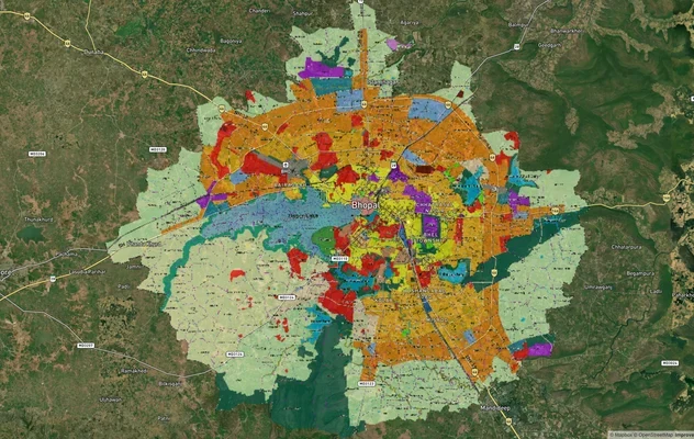
Bhopal Masterplan 2031: BDA Zone Check and Land Use Guide
View Bhopal Masterplan as a live map overlay – check any plot's land use zone for free on 1acre.in. Bhopal masterplan 20...
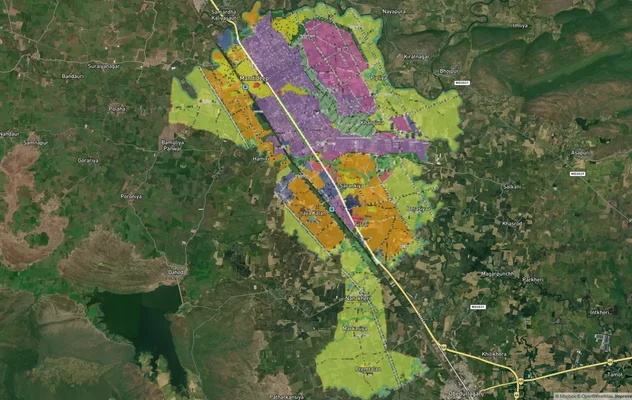
Mandideep Masterplan 2031: Zone Check and Land Use Guide
View Mandideep Masterplan as a live map overlay – check any plot's land use zone for free on 1acre.in. Mandideep Master ...
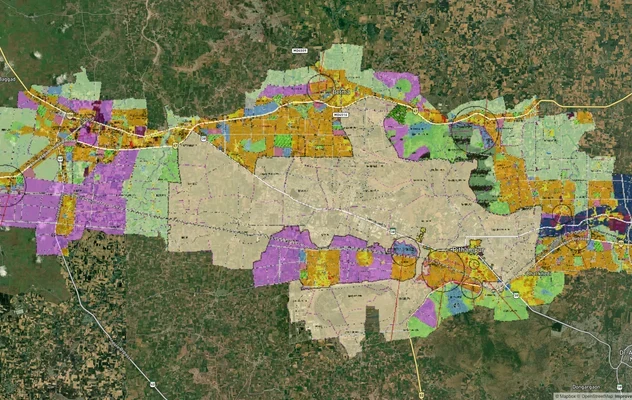
Pithampur Development Plan 2035: DMIC Zone Check and Land Use Guide
View Pithampur Masterplan as a live map overlay – check any plot's land use zone for free on 1acre.in. Pithampur masterp...
More Layers in Madhya Pradesh
Bhopal Masterplan 2031: BDA Zone Check and Land Use Guide
View Bhopal Masterplan as a live map overlay – check any plot's land use zone for free on 1acre.in. Bhopal masterplan 20...
Mandideep Masterplan 2031: Zone Check and Land Use Guide
View Mandideep Masterplan as a live map overlay – check any plot's land use zone for free on 1acre.in. Mandideep Master ...
Pithampur Development Plan 2035: DMIC Zone Check and Land Use Guide
View Pithampur Masterplan as a live map overlay – check any plot's land use zone for free on 1acre.in. Pithampur masterp...