
Gadchiroli-Durg Expressway


Gadchiroli_durg_expressway Preview
Try the Gadchiroli-Durg Expressway on the map
एक बार साइन इन करें और पूरे दिन लेयर एक्सप्लोर करें।
- No card details needed
- Find nearby verified lands for sale
Overview
Gadchiroli Durg Expressway land buying decisions start with an important disambiguation, because more than one "Gadchiroli expressway" exists and they run in completely different directions. This layer refers to the Durg-Gadchiroli-Bellampalli greenfield section, a roughly 325 kilometre stretch forming part of NHAI's larger Hyderabad-Raipur Economic Corridor, also known as the Raipur-Hyderabad Expressway. The full corridor runs approximately 530 to 568 kilometres from Raipur through Durg, Rajnandgaon, and Gadchiroli, continuing through Telangana toward Hyderabad, with its northern end connecting near Bhilai into the separately governed Durg-Raipur-Arang Expressway. It covers the naming confusion buyers most commonly fall into, the security and terrain context unique to this Red Corridor route, and what the connecting Durg-end project's own delays mean for anyone evaluating land near this corridor today.
Gadchiroli Durg Expressway Land Buying: Regulatory Red Flags You Cannot Ignore
The first and most important red flag is that there are two distinct, unrelated expressway projects both carrying the "Gadchiroli" name, and confusing them is a genuine, easy mistake. The Maharashtra State Road Development Corporation is separately building the Bhandara-Gadchiroli Access Controlled Super Communication Expressway, a 94.241 kilometre project with Rs. 931.15 crore approved, connecting Gadchiroli northward to Bhandara and onward to the Samruddhi Mahamarg toward Nagpur. This project has nothing to do with Durg or Chhattisgarh; it runs entirely within Maharashtra in the opposite direction. The Durg-Gadchiroli-Bellampalli greenfield section covered by this layer, by contrast, is an NHAI project connecting Gadchiroli southward and westward toward Durg and Chhattisgarh, and further south toward Telangana. Land marketed simply as "near the Gadchiroli expressway" without specifying which one could be describing either project, and getting this wrong means evaluating the wrong route, the wrong executing authority, and the wrong timeline entirely.
The second red flag is transparency and completion status. As of the most detailed available reporting, NHAI had not made the Detailed Project Report for the Durg-Gadchiroli-Bellampalli section publicly available, and the greenfield section's originally cited completion target was August 2025. That deadline has now passed without confirmed completion based on the most recent detailed reporting available. Any claim of a fixed, imminent completion date for this specific stretch should be independently verified with NHAI directly rather than taken from older cited targets, since greenfield expressway projects of this scale routinely see their timelines shift.
The table below sets out the corridor's overall structure and the three sub-projects that make it up.
Sub-Project
Length
Type
Estimated Cost
Durg-Gadchiroli-Bellampalli (this layer)
Approximately 325 km
Greenfield
Rs. 3,178 crore
Bellampalli-Mancherial
Approximately 35 km
Brownfield upgrade of NH-363 (Adani Enterprises)
Not separately disclosed
Mancherial-Hyderabad
Approximately 208 km
Brownfield upgrade of SH-1
Not separately disclosed
Sub-Project
Length
Type
Estimated Cost
Durg-Gadchiroli-Bellampalli (this layer)
Approximately 325 km
Greenfield
Rs. 3,178 crore
Bellampalli-Mancherial
Approximately 35 km
Brownfield upgrade of NH-363 (Adani Enterprises)
Not separately disclosed
Mancherial-Hyderabad
Approximately 208 km
Brownfield upgrade of SH-1
Not separately disclosed
The third red flag is genuinely specific to this corridor's geography. The route passes directly through Gadchiroli district and other stretches of India's Red Corridor spanning Chhattisgarh, Maharashtra, and Telangana, historically associated with Naxalite activity. Greenfield highway construction through Red Corridor districts has repeatedly faced distinct delays tied to security coordination requirements, contractor availability, and paramilitary deployment, challenges that simply do not apply to highway projects in more settled regions. Anyone evaluating land along this specific stretch should factor in a realistic expectation of extended timelines beyond what a comparable project elsewhere in India might experience.
The fourth red flag concerns the corridor's connection point at its northern end. The Gadchiroli-Durg alignment terminates south of Bhilai, tying into the Durg-Raipur-Arang Expressway, a separate 92 kilometre NHAI project under Bharatmala Pariyojana in its own right. That connecting project has itself faced real delays: its original completion target was March 2024, bidders for its two main packages only emerged in December 2022, and reporting has documented a backlog of 2,330 farmers across three districts still awaiting compensation. A buyer evaluating land near the Durg end of the Gadchiroli-Durg corridor is really evaluating exposure to two administratively separate projects at once, and both need independent status verification.
Growth Corridors and Micro-Markets Along the Gadchiroli-Durg Route
The corridor's value pattern differs meaningfully depending on which end a buyer is evaluating, since the Durg side sits within an established industrial twin-city while the Gadchiroli side sits within a historically underdeveloped, security-sensitive district.
Corridor / Locality
Position on Route
Character
Known Risk
Durg-Bhilai
Northern terminus, connecting to Durg-Raipur-Arang Expressway
Established industrial twin-city, existing steel and manufacturing base
Depends on a separately delayed connecting project with documented farmer compensation backlogs
Rajnandgaon
Mid-corridor, on the confirmed route alignment
District town along the Chhattisgarh stretch of the corridor
DPR not yet public; exact alignment and station-adjacent land value remain unconfirmed
Gadchiroli
Southern connecting point within the Chhattisgarh-Maharashtra section
Historically Red Corridor district, limited existing infrastructure
Security-related construction delays are a realistic, documented pattern for projects through this district
Bellampalli (Telangana)
Southern terminus of the greenfield section
Transition point into brownfield NH-363 upgrade toward Hyderabad
Marks where the greenfield section ends and a different construction approach begins
Corridor / Locality
Position on Route
Character
Known Risk
Durg-Bhilai
Northern terminus, connecting to Durg-Raipur-Arang Expressway
Established industrial twin-city, existing steel and manufacturing base
Depends on a separately delayed connecting project with documented farmer compensation backlogs
Rajnandgaon
Mid-corridor, on the confirmed route alignment
District town along the Chhattisgarh stretch of the corridor
DPR not yet public; exact alignment and station-adjacent land value remain unconfirmed
Gadchiroli
Southern connecting point within the Chhattisgarh-Maharashtra section
Historically Red Corridor district, limited existing infrastructure
Security-related construction delays are a realistic, documented pattern for projects through this district
Bellampalli (Telangana)
Southern terminus of the greenfield section
Transition point into brownfield NH-363 upgrade toward Hyderabad
Marks where the greenfield section ends and a different construction approach begins
Durg-Bhilai carries the strongest existing fundamentals of any point on this corridor, given its established industrial base independent of this specific expressway. But that strength comes with a specific caveat: because the expressway's northern access runs through the separately governed Durg-Raipur-Arang Expressway, land value near this end depends partly on a connecting project with its own documented delays and unresolved compensation issues. Evaluating Durg-side land purely on the Gadchiroli-Durg corridor's own merits, without checking the connecting project's actual status, gives an incomplete picture.
Gadchiroli itself is the most misunderstood point on this entire route, precisely because of the naming collision described earlier. A buyer who has heard about "the Gadchiroli expressway" driving growth in the district needs to determine which project they actually mean. The MSRDC Bhandara-Gadchiroli project connects the district toward Nagpur and Maharashtra's existing growth corridors, an entirely different economic orientation than the NHAI Durg-Gadchiroli-Bellampalli section, which connects the district toward Chhattisgarh and, eventually, Telangana. These are not interchangeable narratives, and land pitched on "Gadchiroli's expressway boom" needs a clear answer about which specific project is actually driving that claim.
क्या यह लेयर सहायक थी?
Anything wrong, outdated, or missing we want to hear it.
ज़मीन मालिकों और एजेंटों के लिए
Chhattisgarh में अपनी ज़मीन बेचना चाहते हैं?
मैं Chhattisgarh में अपनी ज़मीन बेचना चाहता हूँ
10:32
कृपया अपनी ज़मीन का स्थान साझा करें - हम इसे 1acre मैप पर सूचीबद्ध करेंगे, मुफ़्त.
10:32


ज़मीन खरीदारों के लिए
Chhattisgarh में सभी सत्यापित ज़मीन और प्लॉट ब्राउज़ करें
प्रत्येक लिस्टिंग हमारी प्रारंभिक सत्यापन प्रक्रिया से गुज़रती है।
Chhattisgarh में और लेयर्स
सभी 16 लेयर्स देखें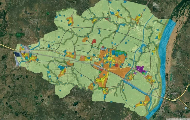
अरांग मास्टर प्लान
अरांग मास्टर प्लान को लाइव मैप ओवरले के रूप में देखें – 1acre.in पर किसी भी प्लॉट का लैंड यूज़ ज़ोन मुफ़्त में चेक करें....
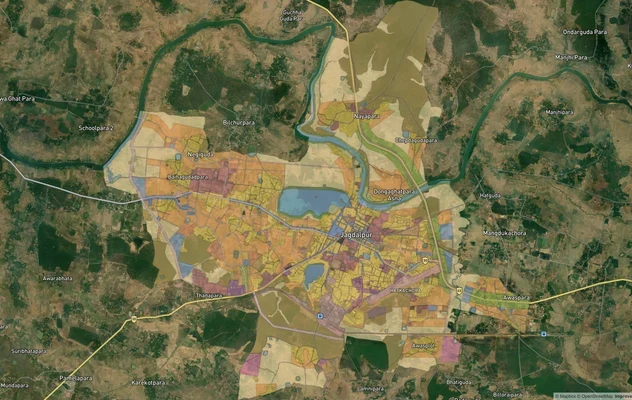
जगदलपुर मास्टर प्लान
जगदलपुर मास्टर प्लान को लाइव मैप ओवरले के रूप में देखें – 1acre.in पर किसी भी प्लॉट का लैंड यूज़ ज़ोन मुफ्त में चेक करें...
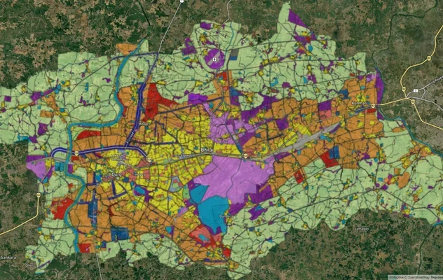
दुर्ग-बिहलाई मास्टर प्लान
दुर्ग-बिहलाई मास्टर प्लान को लाइव मैप ओवरले के रूप में देखें – 1acre.in पर किसी भी प्लॉट का लैंड यूज़ ज़ोन मुफ्त में चेक...
Chhattisgarh में और लेयर्स
अरांग मास्टर प्लान
अरांग मास्टर प्लान को लाइव मैप ओवरले के रूप में देखें – 1acre.in पर किसी भी प्लॉट का लैंड यूज़ ज़ोन मुफ़्त में चेक करें....
जगदलपुर मास्टर प्लान
जगदलपुर मास्टर प्लान को लाइव मैप ओवरले के रूप में देखें – 1acre.in पर किसी भी प्लॉट का लैंड यूज़ ज़ोन मुफ्त में चेक करें...
दुर्ग-बिहलाई मास्टर प्लान
दुर्ग-बिहलाई मास्टर प्लान को लाइव मैप ओवरले के रूप में देखें – 1acre.in पर किसी भी प्लॉट का लैंड यूज़ ज़ोन मुफ्त में चेक...