New Raipur Masterplan
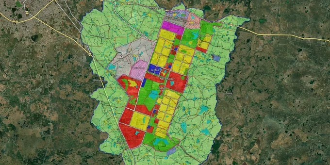
New Raipur Masterplan Preview
Try the New Raipur Masterplan on the map
Sign in once and explore the layer for a full day.
- No card details needed
- Find nearby verified lands for sale
Overview
The NRDA Master Plan 2031 governs all land use across a 237.42 sq km planning area covering 41 villages around New Raipur (Atal Nagar), Chhattisgarh's planned greenfield capital. Implemented in 2008 and running through 2031, the plan divides the city into three structural layers: Layer I (95.22 sq km, including core city and green belt; core developed area is 80.13 sq km), Layer II (130.28 sq km peripheral region), and Layer III (11.92 sq km airport zone). Each layer carries different development rights, and conflating them is the most common and costly mistake buyers make. This page covers the specific zone traps, the growth corridors backed by government capital, and how to verify any parcel using 1acre tools.
Layer II Land and Open Space Zones: The Two Traps That Keep Costing New Raipur Buyers
New Raipur has a structural land trap that no broker will volunteer upfront: the NRDA Master Plan 2031 explicitly prohibits urban development in Layer II (the Peripheral Region) during Plan Phase I and Phase II. That prohibition covers 130.28 sq km across 28 surrounding villages. Sellers actively market this land as "adjacent to the capital" without disclosing that urban development rights are deferred, not current. A buyer who builds or subdivides in Layer II without NRDA's specific post-Phase II clearance violates the plan, regardless of what the sale deed says.
The second trap is in Layer I itself, and it has already reached the Chhattisgarh High Court. The plan designates substantial areas as open space, recreation zones, and green belt. The Chhattisgarh High Court confirmed in November 2022 that construction on land reserved as open space in an approved layout is illegal without prior permission from the Director under the Chhattisgarh Nagar Tatha Gram Nivesh Adhiniyam, 1973. A municipal corporation lost that case. Private buyers in open-space-zoned parcels face the same outcome. No sale deed overrides the zone designation.
There is a third issue specific to the NRDA's history: at least 97 farmer petitions against NRDA land acquisition filed in 2011 remain pending in the Chhattisgarh High Court, and in February 2012, the High Court stayed land acquisition proceedings owing to allegations of coercion and fraud. Parcels in villages acquired during that contested period carry unresolved title risk.
The table below maps the three zone traps a buyer must clear before proceeding.
Risk Type
Zone / Layer
What to Verify
Deferred urban rights
Layer II Peripheral Region (130.28 sq km, 28 villages)
Confirm NRDA post-Phase II development clearance before any purchase
Open space construction bar
Layer I recreation / green belt zones
Cross-check zone designation on the NRDA layout map before signing
Contested acquisition title
Villages with pending HC petitions (acquired 2006–2012)
Verify mutation records and check for any High Court (HC) stay on the specific Khasra number
Any broker who cannot show you the NRDA-approved layout plan for the specific plot number is selling you a document problem, not a land parcel.
New Raipur's Plan-Backed Growth Zones: CBD, Facility Corridor, and Sector Housing
Not all of New Raipur carries equal risk or equal upside. Three zones have direct government capital behind them in 2025–2026, making them worth separating from speculative peripheral land.
The Central Business District (CBD) and the 100-metre Facility Corridor running north to south are the plan's commercial and institutional spine. Land allotments in Nava Raipur Atal Nagar have laid the foundation for an expected investment of over Rs 4,500 crore from private and government entities in the next 5 to 7 years, anchored to this corridor. The NRDA has cleared its entire outstanding debt of ₹1,788 crore, and the state government allocated ₹1,043 crore to the authority through the third supplementary budget for 2024–25. That funding flows into projects on and around the Facility Corridor and CBD, not into Layer II fringe land.
The residential sectors (Layer I) are the second tier. The NRDA Master Plan 2031 sets a base FAR of 1.30 for plotted development in residential zones. For a single developer taking an entire sector or subsector of a minimum of 15 hectares, FAR can rise to 1.75 for group housing and up to 1.8 in special circumstances approved by NRDA. Sector 12 has an active Chhattisgarh Housing Board housing scheme, and Sector 27 was one of the earliest completed residential colonies. These have clean, NRDA-issued title chains.
The table below maps investability by zone with plan-sourced evidence.
Zone / Corridor
Layer
Plan Backing
Risk Level
Central Business District (CBD) + Facility Corridor
Layer I
Master Plan 2031 core spine; major investment pipeline (verify figures against NRDA/CG government releases)
Low
Residential Sectors (e.g. Sector 12, 27, 29, 30)
Layer I
Chhattisgarh Housing Board (CGHB) schemes + NRDA-issued layouts
Low to Medium
Airport Zone (Layer III, 11.92 sq km)
Layer III
NRDA airport-linked planning; logistics hub designated
Medium
Layer II Peripheral Villages (28 villages, 130.28 sq km)
Layer II
Urban development is prohibited in Phases I and II
High
Layer II land near Parsada and Arang Tahsil is the most misunderstood segment. It is cheap, close to the capital boundary on a map, and regularly pitched to first-time investors. The Master Plan is explicit: urban development here requires post-Phase II NRDA clearance that has not been issued. Price reflects proximity; rights do not.
Was this layer helpful?
Anything wrong, outdated, or missing we want to hear it.
For Land Owners & Agents
Looking to sell your land in Chhattisgarh?
I want to sell my land in Chhattisgarh
10:32
Plz share your Land's location - We will list it on 1acre map, for Free.
10:32

For Land Buyers
Browse all verified lands & plots in Chhattisgarh
Every listing goes through our Preliminary Verification Process.
More Layers in Chhattisgarh
See all 12 layers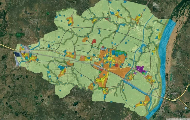
Arang Masterplan
View Arang Masterplan as a live map overlay – check any plot's land use zone for free on 1acre.in. Arang Master Plan 203...
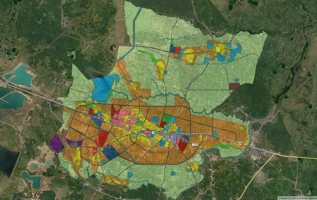
Balodabazaar Masterplan
View Balodabazaar Masterplan as a live map overlay – check any plot's land use zone for free on 1acre.in. Baloda Bazaar ...
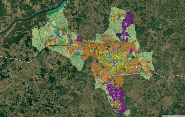
Bhatapara Masterplan
View Bhatapara Masterplan as a live map overlay – check any plot's land use zone for free on 1acre.in. Bhatapara Master ...
More Layers in Chhattisgarh
Arang Masterplan
View Arang Masterplan as a live map overlay – check any plot's land use zone for free on 1acre.in. Arang Master Plan 203...
Balodabazaar Masterplan
View Balodabazaar Masterplan as a live map overlay – check any plot's land use zone for free on 1acre.in. Baloda Bazaar ...
Bhatapara Masterplan
View Bhatapara Masterplan as a live map overlay – check any plot's land use zone for free on 1acre.in. Bhatapara Master ...