
Morbi-Navalakhi Greenfield Highway
Overview
The Morbi-Navlakhi Greenfield Highway land records question centres on a road built for one clear economic reason: getting ceramic tiles out of Morbi and onto ships faster and cheaper than the current route allows. This four-lane greenfield road starts near Morbi bypass at Amreli village, a small settlement just outside Morbi town rather than Amreli district itself, and runs to Navlakhi Port on the coast, passing through 13 villages spread across two talukas along the way. The project carries an estimated cost of roughly 1,548 crore rupees, with construction originally planned to run from April 2025 through March 2027. A specific stretch of this road, between the 36 and 41 kilometre marks, sits inside the Coastal Regulation Zone, and government reviewers have already required that exact section be built on stilts rather than at ordinary ground level, a genuinely unusual engineering concession for a road of this size. Land here is checked through AnyROR, Gujarat's revenue records portal, but ownership status is only half the picture along a route that runs straight through a legally protected coastal stretch for a meaningful part of its length. This guide covers both what the land records actually show and what the road's real economic purpose means for value nearby, rather than treating it as just another announced highway.
Regulatory Red Flags Along the Morbi-Navlakhi Corridor
Start with the one fact that should shape every land decision along this exact route, because it comes straight from the government's own project review rather than from any outside commentary. A defined stretch of the road, from chainage 36 to chainage 41 kilometres, sits inside the Coastal Regulation Zone, and the government's own Expert Appraisal Committee has already required that specific stretch to be engineered on stilts rather than built as a normal embankment road. This is not a minor technical footnote buried in a project file somewhere. It means the government itself has formally acknowledged that ordinary ground-level construction was not permissible on that stretch under coastal rules, and any private land sitting in or near that same five-kilometre band very likely carries the same underlying restriction, whatever a seller might claim about it. A buyer looking at a plot anywhere close to this section needs to establish, before anything else, whether that specific parcel falls inside the CRZ boundary, and if so, which category it sits in, since Gujarat's coastal stretches are classified the same broad way as any other Indian coastline: fragile ecological zones where private construction is essentially barred outright, developed urban stretches with considerably looser rules, and undisturbed rural coast where a strict setback from the high tide line applies regardless of how the land happens to be zoned on paper.
Ownership itself runs through the same system already covered elsewhere in this series for Gujarat, and it works the same way here as anywhere else in the state. AnyROR gives free access to the 7/12 Utara and the 8A account summary for any plot by survey number, but that free copy carries no legal weight for a loan or a formal transaction, which still requires a digitally signed Record of Rights obtained through the iORA portal or an e-Dhara centre. What matters more specifically along this particular corridor is eligibility, because a road built explicitly to serve industrial cargo, connecting a manufacturing hub directly to a port, tends to draw exactly the kind of buyer this eligibility question was originally designed to slow down. Section 63 of the Gujarat Tenancy and Agricultural Lands Act bars the sale of agricultural land to anyone who is not legally an agriculturist unless the Collector grants prior permission, and a strict income cap makes that permission essentially unreachable for most salaried buyers or outside investors hoping to get around it. The one practical route past this, Section 63AA, allows a company or an individual to buy agricultural land for a genuine industrial purpose, provided a notice goes to the Collector within thirty days of the purchase and the Industries Commissioner signs off in advance for any parcel over ten hectares.
This detail matters enormously along a corridor built specifically to move industrial cargo rather than serve ordinary residential traffic. A buyer purchasing land near this road with a stated industrial purpose in mind, warehousing, a logistics yard, a facility feeding the ceramic export trade, needs the Section 63AA notice and clearance genuinely in place, not simply a signed sale agreement that assumes the paperwork will sort itself out later. Buying under an ordinary residential or agricultural pretext while actually planning industrial use is exactly the kind of mismatch Gujarat's revenue authorities have real grounds to challenge later on, potentially unwinding a transaction that looked entirely complete at the time of purchase.
The practical lesson here is fairly straightforward once you see it laid out this way. This is a road defined by two separate legal boundaries running through the same physical corridor: a coastal restriction fixed precisely at chainage 36 to 41 kilometres, and an agricultural land eligibility rule tied directly to the buyer's actual intended use rather than what a sale deed happens to say. Checking only the 7/12 extract and ignoring both of these leaves a buyer genuinely exposed to exactly the kind of dispute that has already required the government to redesign part of its own highway mid-project.
Growth Corridors Along the Morbi-Navlakhi Route
The economic case for this road is unusually concrete, and that is worth understanding clearly before assuming this is simply another speculative infrastructure story riding on general regional optimism. Morbi is India's ceramic manufacturing hub, home to more than a thousand factories producing tiles, bathroom fittings, and dinnerware for both domestic and export markets alike. Right now, most of that cargo travels roughly 134 kilometres by road to Deendayal Port at Kandla, at a cost of about 22,000 rupees per container. Navlakhi Port sits only 45 kilometres from Morbi, and a Gujarat Maritime Board master plan for modernising it projects that same container cost could fall to roughly 7,000 rupees once the port is properly upgraded and connected by this road. That is not a marginal saving anyone would shrug off. It amounts to close to a two-thirds cut in outbound freight cost for one of Gujarat's largest manufacturing clusters, which is exactly the kind of concrete number that explains why this specific road, short by national-highway standards at under 45 kilometres end to end, carries genuinely real economic weight behind it.
Cargo volumes handled by Gujarat's non-major ports, the category Navlakhi falls into, are projected to roughly quadruple by 2040, and a modernised Navlakhi Port is positioned to capture container traffic that currently has no real choice but to travel much further to reach a major port instead. A separate Navlakhi Port Jetty Project is already listed alongside the road project itself, reinforcing that this corridor is being developed as a genuinely matched pair, port and road together, rather than one project simply waiting around on the other to catch up.
This corridor also sits inside a much larger regional picture worth keeping in view. The proposed Namo Shakti Expressway, a nearly 430-kilometre greenfield corridor linking Deesa in north Gujarat to Pipavav Port in Amreli district, is planned to pass through thirteen districts including Morbi, Rajkot, and Jamnagar, designed specifically to connect north Gujarat's agricultural and manufacturing belt to the Saurashtra coastline's ports and petrochemical facilities. The Morbi-Navlakhi road is a considerably smaller, more localised piece of infrastructure than this much larger expressway, but both share the same underlying logic at heart: Saurashtra's inland manufacturing towns need faster, cheaper routes to the coast, and the region's port capacity is genuinely being built out to match that need.
The overall read on this corridor is that its growth case rests on genuine, quantifiable industrial logic rather than a speculative tourism or second-home story of the kind that shows up elsewhere in this series. That is a real point in its favour for anyone weighing land here. It also means, though, that land value along this route will likely track the pace of the port's own modernisation and the road's construction timeline far more closely than any general regional buzz or vague talk of Saurashtra's rising fortunes. A buyer should weigh a plot's proximity to the actual ceramic supply chain and its precise position relative to the confirmed alignment and CRZ boundary, rather than simply its distance from Morbi town as a rough shorthand for value.
Was this layer helpful?
Anything wrong, outdated, or missing we want to hear it.
For Land Owners & Agents
Looking to sell your land in Gujarat?
I want to sell my land in Gujarat
10:32
Plz share your Land's location - We will list it on 1acre map, for Free.
10:32


For Land Buyers
Browse all verified lands & plots in Gujarat
Every listing goes through our Preliminary Verification Process.
More Layers in Gujarat
See all 18 layers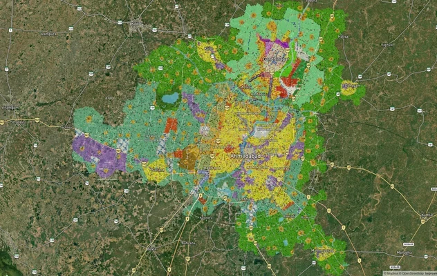
Ahmedabad - Gandhinagar Masterplan
View Ahmedabad - Gandhinagar Masterplan as a live map overlay – check any plot's land use zone for free on 1acre.in. Ahm...
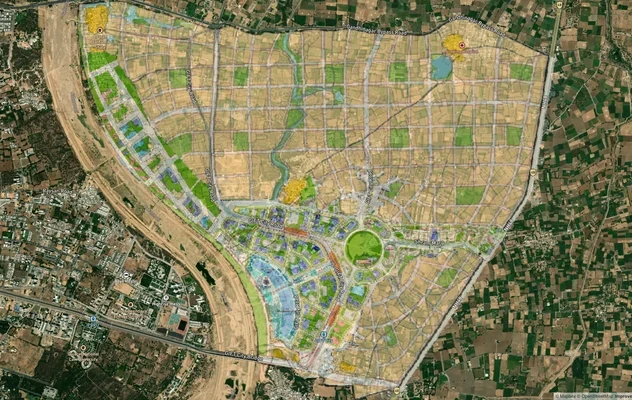
GIFT City Masterplan: GIFT UDA and GUDA Zone Check
View GIFT City Masterplan as a live map overlay – check any plot's land use zone for free on 1acre.in. GIFT City Master ...
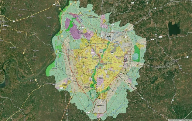
Vadodara VUDA Masterplan 2031: Zone Check and Land Use Guide
View Vadodara Masterplan as a live map overlay – check any plot's land use zone for free on 1acre.in. Vadodara VUDA Mast...
More Layers in Gujarat
Ahmedabad - Gandhinagar Masterplan
View Ahmedabad - Gandhinagar Masterplan as a live map overlay – check any plot's land use zone for free on 1acre.in. Ahm...
GIFT City Masterplan: GIFT UDA and GUDA Zone Check
View GIFT City Masterplan as a live map overlay – check any plot's land use zone for free on 1acre.in. GIFT City Master ...
Vadodara VUDA Masterplan 2031: Zone Check and Land Use Guide
View Vadodara Masterplan as a live map overlay – check any plot's land use zone for free on 1acre.in. Vadodara VUDA Mast...