
Dahod-Bodeli Highway


Dahod_bodeli_highway Preview
Try the Dahod-Bodeli Highway on the map
Sign in once and explore the layer for a full day.
- No card details needed
- Find nearby verified lands for sale
Overview
Dahod Bodeli Highway land buying decisions centre on the ongoing four-laning of NH-56, a project the Centre approved at an estimated Rs. 4,584 crore, creating a continuous four-lane corridor from Bodeli to Malotha across 107.6 kilometres. This upgrade runs through the officially designated Aspirational District of Narmada and is expected to significantly improve connectivity to tribal areas across Dahod, Chhota Udepur, Tapi, and Bharuch districts, while also improving access to the Statue of Unity at Kevadia, roughly 11 kilometres from the highway. It covers why this corridor is built from multiple separate contract stretches rather than one continuous project, what Aspirational District status means for land here, and how to separate the highway's own progress from the Delhi-Mumbai Expressway's already-confirmed nearby completion.
Dahod Bodeli Highway Land Buying: Regulatory Red Flags You Cannot Ignore
The first red flag is that this upgrade is not a single, uniform contract but a series of adjoining stretches awarded and progressing at different times. NHAI had earlier awarded stretches beginning from Jambugam, near Bodeli, as part of this broader corridor. The more recently Centre-approved Rs. 4,584 crore funding covers additional sections needed to complete continuous four-lane connectivity across the full Bodeli to Malotha stretch. Strong bids were reported for these NH-56 sections as recently as March 2026. A buyer evaluating land anywhere along this 107.6 kilometre corridor needs to identify which specific package covers their location, since award dates, contractors, and construction progress genuinely differ stretch by stretch rather than moving as one unified timeline.
The second red flag is the corridor's Aspirational District overlay, a genuinely distinct regulatory context that buyers unfamiliar with this classification often overlook. Narmada district, through which this corridor runs, carries the Government of India's Aspirational District designation, a category applied to some of the country's most underdeveloped districts to target accelerated development support. The corridor also specifically serves tribal areas across Dahod, Chhota Udepur, Tapi, and Bharuch. This matters because Gujarat maintains distinct restrictions on the transfer of tribal land to non-tribal buyers in designated scheduled areas, a legal framework entirely separate from standard highway acquisition and construction rules. Anyone evaluating land in these districts needs to verify tribal land transfer eligibility independently of the highway project itself, since a plot's proximity to the improving highway says nothing about whether it can legally be transferred to a given buyer.
The table below sets out the corridor's core confirmed parameters.
Parameter
Confirmed Detail
Total upgrade length
107.6 km, creating continuous four-lane connectivity from Bodeli to Malotha
Approved funding
Rs. 4,584 crore (Centre-approved, February 2026)
Design speed
100 km/h, targeting an average operating speed of 70 km/h
Expected travel time reduction
Approximately 40%, from 2.5 hours to 1.5 hours
Districts served
Narmada (Aspirational District), Dahod, Chhota Udepur, Tapi, Bharuch
Employment generated
Approximately 19.38 lakh direct and 22.82 lakh indirect man-days
Parameter
Confirmed Detail
Total upgrade length
107.6 km, creating continuous four-lane connectivity from Bodeli to Malotha
Approved funding
Rs. 4,584 crore (Centre-approved, February 2026)
Design speed
100 km/h, targeting an average operating speed of 70 km/h
Expected travel time reduction
Approximately 40%, from 2.5 hours to 1.5 hours
Districts served
Narmada (Aspirational District), Dahod, Chhota Udepur, Tapi, Bharuch
Employment generated
Approximately 19.38 lakh direct and 22.82 lakh indirect man-days
The third red flag is separating this project's own progress from the Delhi-Mumbai Expressway's genuinely confirmed completion nearby. The corridor's value case leans partly on strengthened linkages to NH-53, NH-48, and the Delhi-Mumbai Expressway, and sections of that expressway near this region, including the Bharuch-Kharel stretch opened in January 2026 and the Vadodara-Godhra stretch opened in April 2026, are real, operational infrastructure. But the NH-56 four-laning covered by this layer is a separate project on its own timeline, still working through strong-bid and recently-approved-funding stages as of the most recent reporting. A land pitch that leans on "Delhi-Mumbai Expressway connectivity" without clarifying that the local NH-56 upgrade itself remains under construction is borrowing the expressway's confirmed status to imply progress on a different, less advanced project.
The fourth consideration is the Statue of Unity connection, a genuine but separately established demand driver. The corridor sits roughly 11 kilometres from Kevadia, a major national tourism destination that has driven real estate demand in this region for years, well before this specific NH-56 four-laning project. Buyers should recognise that Kevadia-adjacent land value reflects an already well-established tourism market, not primarily this highway upgrade, and should evaluate any land pitch that conflates the two accordingly.
Growth Corridors and Micro-Markets Along the Dahod-Bodeli Corridor
Land value along this corridor is shaped by three distinct forces operating simultaneously: tribal-belt connectivity improvement, Statue of Unity tourism demand, and the corridor's role as a feeder into the broader Delhi-Mumbai Expressway network.
Corridor / Locality
Position on Route
Growth Driver
Known Risk
Dahod district
Northern end of the broader corridor served by NH-56 upgrades
Tribal-area connectivity improvement, Aspirational District development focus
Tribal land transfer restrictions apply independently of highway construction progress
Bodeli / Chhota Udepur
Western terminus of the four-lane upgrade stretch
Direct beneficiary of the completed continuous four-laning
Confirm which specific NHAI package and award date covers this exact stretch
Kevadia / Statue of Unity vicinity
Approximately 11 km from NH-56
Established, long-running tourism demand independent of this highway project
Land value here already reflects tourism draw; do not double-count the highway's own contribution
Malotha
Southern terminus, connecting toward NH-53, NH-48, and the Delhi-Mumbai Expressway
Feeder role into an increasingly operational expressway network
This terminus benefits from DME sections that are genuinely open, but the NH-56 link itself remains under construction
Corridor / Locality
Position on Route
Growth Driver
Known Risk
Dahod district
Northern end of the broader corridor served by NH-56 upgrades
Tribal-area connectivity improvement, Aspirational District development focus
Tribal land transfer restrictions apply independently of highway construction progress
Bodeli / Chhota Udepur
Western terminus of the four-lane upgrade stretch
Direct beneficiary of the completed continuous four-laning
Confirm which specific NHAI package and award date covers this exact stretch
Kevadia / Statue of Unity vicinity
Approximately 11 km from NH-56
Established, long-running tourism demand independent of this highway project
Land value here already reflects tourism draw; do not double-count the highway's own contribution
Malotha
Southern terminus, connecting toward NH-53, NH-48, and the Delhi-Mumbai Expressway
Feeder role into an increasingly operational expressway network
This terminus benefits from DME sections that are genuinely open, but the NH-56 link itself remains under construction
The Bodeli and Chhota Udepur stretch deserves the most direct attention from land buyers focused specifically on this highway project, since it represents the corridor segment where continuous four-laning is the explicit, funded objective. Confirming exactly which awarded package, whether the earlier Jambugam-area award or the more recently approved sections, covers a specific parcel is the essential first step before assuming any particular timeline for completion near this stretch.
The Malotha terminus is the most misunderstood location on this corridor, precisely because it sits at the convergence of genuinely different infrastructure realities. Its connection point toward the Delhi-Mumbai Expressway benefits from sections of that expressway that have already opened to traffic, a real and confirmed upgrade. But the NH-56 link connecting Malotha back toward Bodeli and Dahod remains a separate, still-progressing construction project. Treating the entire corridor as equally "connected to the Delhi-Mumbai Expressway" glosses over the fact that one piece of this picture is finished infrastructure and the other is still under construction.
Was this layer helpful?
Anything wrong, outdated, or missing we want to hear it.
For Land Owners & Agents
Looking to sell your land in Gujarat?
I want to sell my land in Gujarat
10:32
Plz share your Land's location - We will list it on 1acre map, for Free.
10:32


For Land Buyers
Browse all verified lands & plots in Gujarat
Every listing goes through our Preliminary Verification Process.
More Layers in Gujarat
See all 19 layers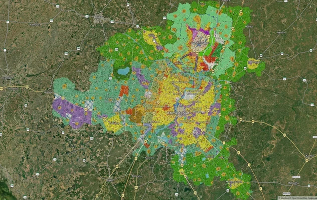
Ahmedabad - Gandhinagar Masterplan
View Ahmedabad - Gandhinagar Masterplan as a live map overlay – check any plot's land use zone for free on 1acre.in. Ahm...
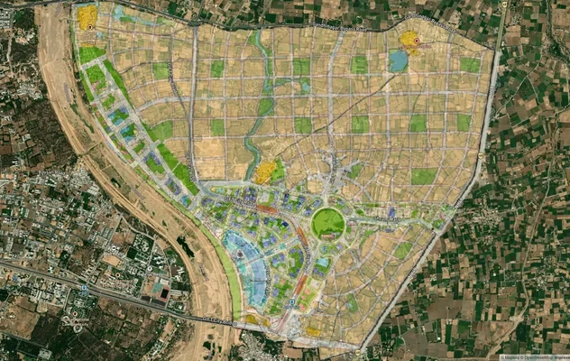
GIFT City Masterplan: GIFT UDA and GUDA Zone Check
View GIFT City Masterplan as a live map overlay – check any plot's land use zone for free on 1acre.in. GIFT City Master ...
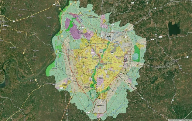
Vadodara VUDA Masterplan 2031: Zone Check and Land Use Guide
View Vadodara Masterplan as a live map overlay – check any plot's land use zone for free on 1acre.in. Vadodara VUDA Mast...
More Layers in Gujarat
Ahmedabad - Gandhinagar Masterplan
View Ahmedabad - Gandhinagar Masterplan as a live map overlay – check any plot's land use zone for free on 1acre.in. Ahm...
GIFT City Masterplan: GIFT UDA and GUDA Zone Check
View GIFT City Masterplan as a live map overlay – check any plot's land use zone for free on 1acre.in. GIFT City Master ...
Vadodara VUDA Masterplan 2031: Zone Check and Land Use Guide
View Vadodara Masterplan as a live map overlay – check any plot's land use zone for free on 1acre.in. Vadodara VUDA Mast...