
Krishnapur-Dholai Coastal Road


Krishnapur Dholai Coastal Road Preview
Try the Krishnapur-Dholai Coastal Road on the map
Sign in once and explore the layer for a full day.
- No card details needed
- Find nearby verified lands for sale
Overview
A Krishnapur-Dholai Coastal Road land purchase depends on knowing exactly where Gujarat R&BD's coastal alignment cuts through Navsari district's shoreline. The road runs from Krishnapur village near Jalalpore taluka to the Dholai fishing port area near Bilimora, connecting a chain of coastal villages along the Arabian Sea. It forms part of Gujarat's larger 1,630 km coastal corridor plan under GatiShakti, with the first 300 km covering Valsad, Navsari, Surat and Bharuch districts. The corridor is 10 metres wide with 3 driving lanes, and total investment on the Gujarat coastal corridor is Rs 2,400 crore.
Regulatory Red Flags on Any Krishnapur-Dholai Coastal Road Land Purchase
The Krishnapur-Dholai Coastal Road is not a national expressway. It is a Gujarat state road, executed by the Roads & Buildings Department (R&BD) as part of the state's coastal corridor plan. That distinction matters. Land acquisition here runs under Gujarat's Land Acquisition (Gujarat Amendment) Act, 2016, not the National Highways Act. Compensation rules and process are different.
The coastal alignment passes through Coastal Regulation Zone (CRZ) areas. Under the CRZ Notification, 2019, construction within 200 metres of the High Tide Line is restricted for most residential and commercial use. Some coastal parcels marketed as "beachfront plots" sit inside CRZ-I or CRZ-II zones where new construction is not permitted. Every plot near Krishnapur, Onjal, Umbharat and Dholai needs a CRZ certification from the Gujarat Coastal Zone Management Authority.
The table below shows what a Krishnapur-Dholai Coastal Road land buyer must verify before any advance payment.
Regulatory Red Flags on Any Krishnapur-Dholai Coastal Road Land Purchase
Check
What to Confirm
Failure Signal
Alignment Status
Plot inside or outside the R&BD notified corridor
Seller claim of "coastal frontage" with no R&BD schedule
CRZ Zone
Whether the plot sits in CRZ-I, CRZ-II or CRZ-III
Beachfront pitch without a CRZ clearance certificate
Village Form 7/12
Latest khatedar name, survey number, extent, VF 6 mutation
Owner name different from sale deed or Aadhaar
Buffer Area Reservation
Whether the parcel is inside the state's coastal buffer
Sale attempt on a state-reserved corridor buffer
Coastal Setback
Distance from the High Tide Line
Construction intent within 200 metres of HTL
Check
What to Confirm
Failure Signal
Alignment Status
Plot inside or outside the R&BD notified corridor
Seller claim of "coastal frontage" with no R&BD schedule
CRZ Zone
Whether the plot sits in CRZ-I, CRZ-II or CRZ-III
Beachfront pitch without a CRZ clearance certificate
Village Form 7/12
Latest khatedar name, survey number, extent, VF 6 mutation
Owner name different from sale deed or Aadhaar
Buffer Area Reservation
Whether the parcel is inside the state's coastal buffer
Sale attempt on a state-reserved corridor buffer
Coastal Setback
Distance from the High Tide Line
Construction intent within 200 metres of HTL
The trap is CRZ compliance. Gujarat's coastal corridor plan reserves a buffer along the highway for industrial and allied activities, and the state has already earmarked the first 300 km including Navsari district.
Some plots inside this buffer look like private agricultural gats on the 7/12 but sit under a state reservation that overrides sale intent. Cross-check the Village Form 7/12 on Gujarat's AnyROR portal at anyror.gujarat.gov.in and match the current jantri rate against the actual asking price. Any beachfront pitch without a CRZ certification is a red flag, regardless of what the satbara shows. Gujarat revenue vocabulary matters: khatedar is the recorded owner, survey number is the plot identifier, VF 6 is the mutation register, jantri is the official rate.
The Gujarat Land Grabbing (Prohibition) Act, 2020 applies here, and knowingly executing a sale on a state-reserved parcel can attract criminal liability up to 14 years. Navsari's coastal buffer has been mapped and updated by the R&BD; verify the buffer boundary against the current schedule.
Growth Corridors from Jalalpore Through Onjal, Umbharat and Bilimora to Dholai
The coastal road links a chain of Navsari district villages between Krishnapur (near Jalalpore taluka) and Dholai port (Gandevi and Bilimora area). Each village along the coast has its own micro-market logic. Onjal and Umbharat are established fishing hamlets. Vesma-Maroli-Umbharat is on SH-195. Krishnapur-Panar Kankra is on SH-184. Dholai port itself has been operational since 1995 under the Gujarat Maritime Board.
The coastal buyer profile in Navsari district splits between two markets: farmhouse and weekend-home plots for Surat and Mumbai buyers, and industrial plots along the state's coastal corridor buffer. Surat is 37 km north of Navsari city, and the Delhi-Mumbai Expressway ties into Gujarat's coastal grid near Vadodara. Coastal parcels here have been on the radar of high-net-worth buyers from Surat's diamond trade for over a decade.
The table below shows the micro-markets along the coastal road and their present buyer risk profile.
Growth Corridors from Jalalpore Through Onjal, Umbharat and Bilimora to Dholai
Micro-Market / Corridor
What Drives Value
Buyer Risk
Krishnapur, Jalalpore
Coastal road origin, SH-184 access
High CRZ overlap, jantri versus market gap
Onjal, Onjal Vesli falia
SH-705 stretch, coastal frontage
Fishing community claims, unclear plot boundaries
Umbharat, Danti
Historic beach town, weekend-home demand
CRZ-I and CRZ-II overlap, temple lands
Vesma-Maroli belt
SH-195, connection to inland
Zoning gaps between R&BD and gram panchayat
Dholai port area (Gandevi taluka)
Fishing port, industrial buffer
State reservation, port authority overlap
Micro-Market / Corridor
What Drives Value
Buyer Risk
Krishnapur, Jalalpore
Coastal road origin, SH-184 access
High CRZ overlap, jantri versus market gap
Onjal, Onjal Vesli falia
SH-705 stretch, coastal frontage
Fishing community claims, unclear plot boundaries
Umbharat, Danti
Historic beach town, weekend-home demand
CRZ-I and CRZ-II overlap, temple lands
Vesma-Maroli belt
SH-195, connection to inland
Zoning gaps between R&BD and gram panchayat
Dholai port area (Gandevi taluka)
Fishing port, industrial buffer
State reservation, port authority overlap
The most misread market is the Umbharat and Danti stretch. Dandi (near Danti) is a designated national heritage site because of the 1930 Salt March; the coastal setback here is stricter than the standard CRZ, and some parcels sit inside a heritage buffer. On the Dholai end, plots adjacent to the fishing port sit under the Gujarat Maritime Board's operational zone, which overrides private sale intent for anything within 500 metres of the port. Vesma-Maroli-Umbharat, on SH-195, is the safest belt for buyers wanting road access without CRZ complications. A Krishnapur-Dholai Coastal Road land purchase without a fresh VF 7/12, a CRZ certification from the Gujarat Coastal Zone Management Authority, and a heritage-zone check for the Dandi-Danti stretch is guesswork.
Was this layer helpful?
Anything wrong, outdated, or missing we want to hear it.
For Land Owners & Agents
Looking to sell your land in Gujarat?
I want to sell my land in Gujarat
10:32
Plz share your Land's location - We will list it on 1acre map, for Free.
10:32


For Land Buyers
Browse all verified lands & plots in Gujarat
Every listing goes through our Preliminary Verification Process.
More Layers in Gujarat
See all 19 layers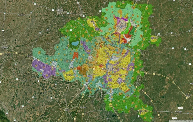
Ahmedabad - Gandhinagar Masterplan
View Ahmedabad - Gandhinagar Masterplan as a live map overlay – check any plot's land use zone for free on 1acre.in. Ahm...
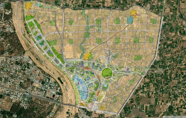
GIFT City Masterplan: GIFT UDA and GUDA Zone Check
View GIFT City Masterplan as a live map overlay – check any plot's land use zone for free on 1acre.in. GIFT City Master ...
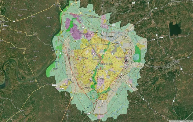
Vadodara VUDA Masterplan 2031: Zone Check and Land Use Guide
View Vadodara Masterplan as a live map overlay – check any plot's land use zone for free on 1acre.in. Vadodara VUDA Mast...
More Layers in Gujarat
Ahmedabad - Gandhinagar Masterplan
View Ahmedabad - Gandhinagar Masterplan as a live map overlay – check any plot's land use zone for free on 1acre.in. Ahm...
GIFT City Masterplan: GIFT UDA and GUDA Zone Check
View GIFT City Masterplan as a live map overlay – check any plot's land use zone for free on 1acre.in. GIFT City Master ...
Vadodara VUDA Masterplan 2031: Zone Check and Land Use Guide
View Vadodara Masterplan as a live map overlay – check any plot's land use zone for free on 1acre.in. Vadodara VUDA Mast...