
Palakkad-Kozhikode Greenfield Highway


Palakkad Kozhikode Greenfield Highway Preview
Try the Palakkad-Kozhikode Greenfield Highway on the map
Sign in once and explore the layer for a full day.
- No card details needed
- Find nearby verified lands for sale
Overview
The Palakkad Kozhikode Greenfield Highway land corridor is a 121 km, four to six lane access-controlled national highway under Bharatmala Pariyojana, cleared by NHAI to run from Marutharode village in Palakkad to Pantheeramkavu in Kozhikode.
NHAI has notified 547.407 hectares within a 45-metre right of way, cutting the Kozhikode-Palakkad drive from four hours to two. This page covers the notified alignment, the Kerala paddy land conversion overlay, and the checks buyers must run before signing a sale deed in any of the 22 affected villages.
Kerala Paddy Land Data Bank and the NHAI 3(A) Land Acquisition Overlap
The most consequential trap on this corridor is not the highway notification. It is what the parcel is recorded as in the Kerala Land Data Bank. Under the Kerala Conservation of Paddy Land and Wetland Act, 2008, any land classified as nilam (paddy) or wetland in the LDB cannot be built on until formally converted.
Then NHAI’s 3(A) notification adds a second lock: once notified, the parcel cannot be transferred with clean title, and compensation follows the Land Acquisition Collector’s valuation, not the sale price agreed with the seller.
The table below shows the document stack every buyer must verify on a plot within the notified stretch.
Kerala Paddy Land Data Bank and the NHAI 3(A) Land Acquisition Overlap
Document / Zone
What It Governs
Required Before Purchase?
Common Trap
NHAI 3(A) / 3(D) notification
Highway acquisition strip (45m RoW)
Confirm survey number outside strip
Sold as farmland already notified
Land Data Bank (LDB) entry
Paddy or wetland classification
LDB check at Krishi Bhavan
Marketed as purayidam while LDB says nilam
Form 6 (under 20.23 Ares)
Small-plot conversion route
Filed with RDO
Missing RDO sanction
BTR / Basic Tax Register
Village-level revenue category
Village Office extract
Old BTR without correction
Section 27A permission
Unnotified land use change
RDO order in hand
Assumed automatic
Document / Zone
What It Governs
Required Before Purchase?
Common Trap
NHAI 3(A) / 3(D) notification
Highway acquisition strip (45m RoW)
Confirm survey number outside strip
Sold as farmland already notified
Land Data Bank (LDB) entry
Paddy or wetland classification
LDB check at Krishi Bhavan
Marketed as purayidam while LDB says nilam
Form 6 (under 20.23 Ares)
Small-plot conversion route
Filed with RDO
Missing RDO sanction
BTR / Basic Tax Register
Village-level revenue category
Village Office extract
Old BTR without correction
Section 27A permission
Unnotified land use change
RDO order in hand
Assumed automatic
If the seller cannot show the current LDB extract, the BTR, and written confirmation the survey number is outside NHAI’s 3(A) notification, the plot is not sellable in any meaningful sense. No panchayat receipt substitutes for a Revenue Divisional Officer order.
Growth Corridors: Mannarkkad, Iringallur and the Silent Valley Buffer
The alignment runs east to west across Palakkad, Malappuram, and Kozhikode districts, with a 10-metre elevated section near Silent Valley National Park in Mannarkkad. That elevated segment fixes the Mannarkkad corridor as a through-traffic zone, not an interchange market.
Land value uplift concentrates around the trumpet interchange at Iringallur in Kozhikode, the first such junction in northern Kerala.
The table below sorts the notable localities by investment logic along the Palakkad Kozhikode Greenfield Highway land corridor.
Growth Corridors: Mannarkkad, Iringallur and the Silent Valley Buffer
Corridor / Locality
District
Growth Driver
Known Risk
Marutharode
Palakkad
NH-544 tie-in, KINFRA Kanjikode logistics
Paddy-heavy revenue records
Kanjikode – Kannambra
Palakkad
Existing industrial estate, freight demand
Data Bank paddy entries in periphery
Mannarkkad
Palakkad
Elevated corridor, Silent Valley 10 km ESZ
Forest ESZ buffer restrictions
Vazhayur
Malappuram
Mid-corridor connectivity
Local action committee protests
Iringallur
Kozhikode
Trumpet interchange
Speculative pricing already peaked
Olavanna – Perumanna
Kozhikode
NH-66 junction, city-side spillover
Higher acquisition density
Corridor / Locality
District
Growth Driver
Known Risk
Marutharode
Palakkad
NH-544 tie-in, KINFRA Kanjikode logistics
Paddy-heavy revenue records
Kanjikode – Kannambra
Palakkad
Existing industrial estate, freight demand
Data Bank paddy entries in periphery
Mannarkkad
Palakkad
Elevated corridor, Silent Valley 10 km ESZ
Forest ESZ buffer restrictions
Vazhayur
Malappuram
Mid-corridor connectivity
Local action committee protests
Iringallur
Kozhikode
Trumpet interchange
Speculative pricing already peaked
Olavanna – Perumanna
Kozhikode
NH-66 junction, city-side spillover
Higher acquisition density
The most misread locality is Mannarkkad. Buyers assume the elevated highway near Silent Valley boosts adjacent plots. It does the opposite. The corridor sits inside the 10 km eco-sensitive zone drafted for Silent Valley National Park, which restricts new construction, quarrying, and change of land use. Before treating any Mannarkkad plot as buildable, cross-check the ESZ draft notification against the survey number.
Was this layer helpful?
Anything wrong, outdated, or missing we want to hear it.
For Land Owners & Agents
Looking to sell your land in Kerala?
I want to sell my land in Kerala
10:32
Plz share your Land's location - We will list it on 1acre map, for Free.
10:32


For Land Buyers
Browse all verified lands & plots in Kerala
Every listing goes through our Preliminary Verification Process.
More Layers in Kerala
See all 11 layers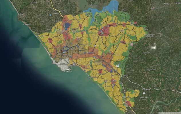
Kannur Masterplan: AMRUT Zone Check and Land Use Guide
View Kannur Masterplan as a live map overlay – check any plot's land use zone for free on 1acre.in. Kannur City Master P...
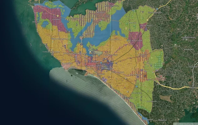
Kollam AMRUT Masterplan: Zone Check and Land Use Guide
View Kollam Masterplan as a live map overlay – check any plot's land use zone for free on 1acre.in. Kollam City Masterpl...
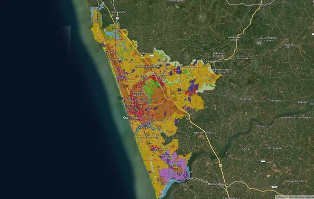
Kozhikode City Masterplan 2040: AMRUT Zone Check and Land Use Guide
View Kozhikode Masterplan as a live map overlay – check any plot's land use zone for free on 1acre.in. Kozhikode masterp...
More Layers in Kerala
Kannur Masterplan: AMRUT Zone Check and Land Use Guide
View Kannur Masterplan as a live map overlay – check any plot's land use zone for free on 1acre.in. Kannur City Master P...
Kollam AMRUT Masterplan: Zone Check and Land Use Guide
View Kollam Masterplan as a live map overlay – check any plot's land use zone for free on 1acre.in. Kollam City Masterpl...
Kozhikode City Masterplan 2040: AMRUT Zone Check and Land Use Guide
View Kozhikode Masterplan as a live map overlay – check any plot's land use zone for free on 1acre.in. Kozhikode masterp...