
Thiruvananthapuram-Angamaly Expressway


Thiruvananthapuram Angamaly Expressway Preview
Try the Thiruvananthapuram-Angamaly Expressway on the map
Sign in once and explore the layer for a full day.
- No card details needed
- Find nearby verified lands for sale
Overview
The Thiruvananthapuram Angamaly Greenfield Highway was a 257 km, six-lane access-controlled corridor proposed under Bharatmala Pariyojana with a 45 metre right of way running from Pulimath near Kilimanoor to Angamaly in Ernakulam.
The Union Ministry told Parliament in February 2025 that the project has been halted, though a DPR is on record and MoEF&CC alignment approval was received in 2023. This overlay maps the notified alignment across six Kerala districts.
This page covers what the current status means for anyone who bought "expressway-adjacent" land, the Kerala paddy law overlay, and the exact checks now required.
NHAI 3(A) Notification Kerala Land and the Data Bank Overlap
Two facts drive every buyer decision on this corridor today. First, the Thiruvananthapuram Angamaly Greenfield Highway alignment was approved by the Ministry of Environment in 2023, and NHAI had begun collecting land acquisition compensation deposits before Nitin Gadkari confirmed in Parliament that the project stands halted.
Second, Kerala's own Conservation of Paddy Land and Wetland Act, 2008 runs on top of any highway proposal. If the plot is nilam in the Land Data Bank, no highway approval fixes that.
The table below shows the document stack every buyer must verify along the notified corridor.
NHAI 3(A) Notification Kerala Land and the Data Bank Overlap
Document / Register
What It Governs
Required Before Purchase?
Common Trap
NHAI 3(A) / 3(D) notification
Highway acquisition strip (45m RoW)
Confirm survey number status
Brokers still selling as "expressway-adjacent"
Land Data Bank (LDB) entry
Paddy or wetland classification
Krishi Bhavan LDB check
Purayidam claim vs nilam record
Form 6 conversion (under 20.23 Ares)
Small-plot use change
RDO sanction under KLU Order
Sold as pending, never granted
Section 27A permission
Unnotified paddy conversion
RDO order
Assumed automatic
Village Office BTR extract
Revenue category
Village Office
Old BTR without correction
Kerala Land Records Portal (Bhulekh)
Digital land record
e-district or Village Office
Outdated survey number entry
Document / Register
What It Governs
Required Before Purchase?
Common Trap
NHAI 3(A) / 3(D) notification
Highway acquisition strip (45m RoW)
Confirm survey number status
Brokers still selling as "expressway-adjacent"
Land Data Bank (LDB) entry
Paddy or wetland classification
Krishi Bhavan LDB check
Purayidam claim vs nilam record
Form 6 conversion (under 20.23 Ares)
Small-plot use change
RDO sanction under KLU Order
Sold as pending, never granted
Section 27A permission
Unnotified paddy conversion
RDO order
Assumed automatic
Village Office BTR extract
Revenue category
Village Office
Old BTR without correction
Kerala Land Records Portal (Bhulekh)
Digital land record
e-district or Village Office
Outdated survey number entry
If any seller on this corridor is still quoting appreciation on the strength of the greenfield highway, treat that as the red flag. As of the February 2025 statement in Parliament, no approval, no tender, and no concrete Vision 2047 replacement corridor exists on record. Verify the current MoRTH position and the plot's LDB entry independently before releasing any advance.
Growth Corridors from Pulimath to Angamaly Along the MC Road Parallel Alignment
The 257 km alignment was designed to sit on the eastern side of Main Central Road (SH-1) through 13 taluks across six districts. That parallel positioning is what created the strongest speculation belts. Buyers should now separate three categories: the notified corridor itself, land where NHAI had already deposited compensation before the halt, and adjoining farmland that was priced up purely on expressway proximity.
The table below sorts the notable localities along the Pulimath to Angamaly alignment.
Growth Corridors from Pulimath to Angamaly Along the MC Road Parallel Alignment
Corridor / Locality
District
Taluk
Current Buyer Concern
Pulimath, Kilimanoor
Thiruvananthapuram
Chirayinkeezhu
Notification still on record, project halted
Kadakkal, Kottarakkara, Punalur, Pathanapuram
Kollam
Kottarakkara, Punalur, Pathanapuram
Speculative pricing without construction
Konni, Ranni
Pathanamthitta
Konni, Ranni
Forest and slope classification adjacent
Kanjirappally, Meenachil (Palai)
Kottayam
Kanjirappally, Meenachil
Plantation land marketed as buildable
Thodupuzha
Idukki
Thodupuzha
Rubber-heavy zone, forest buffer
Muvattupuzha, Kothamangalam, Kunnathunad, Angamaly
Ernakulam
Multiple
Airport-adjacent premium already priced in
Corridor / Locality
District
Taluk
Current Buyer Concern
Pulimath, Kilimanoor
Thiruvananthapuram
Chirayinkeezhu
Notification still on record, project halted
Kadakkal, Kottarakkara, Punalur, Pathanapuram
Kollam
Kottarakkara, Punalur, Pathanapuram
Speculative pricing without construction
Konni, Ranni
Pathanamthitta
Konni, Ranni
Forest and slope classification adjacent
Kanjirappally, Meenachil (Palai)
Kottayam
Kanjirappally, Meenachil
Plantation land marketed as buildable
Thodupuzha
Idukki
Thodupuzha
Rubber-heavy zone, forest buffer
Muvattupuzha, Kothamangalam, Kunnathunad, Angamaly
Ernakulam
Multiple
Airport-adjacent premium already priced in
The most misread pocket is the Ernakulam end. Buyers assume Angamaly's proximity to Kochi International Airport plus the greenfield highway would drive certain uplift. With the highway now halted and only the Angamaly-Kundannoor bypass moving forward, the airport is the driver, not the greenfield corridor.
Confirm the current project status directly with NHAI Kottayam Project Director office before treating any Muvattupuzha or Kothamangalam parcel as corridor land.
Was this layer helpful?
Anything wrong, outdated, or missing we want to hear it.
For Land Owners & Agents
Looking to sell your land in Kerala?
I want to sell my land in Kerala
10:32
Plz share your Land's location - We will list it on 1acre map, for Free.
10:32


For Land Buyers
Browse all verified lands & plots in Kerala
Every listing goes through our Preliminary Verification Process.
More Layers in Kerala
See all 12 layers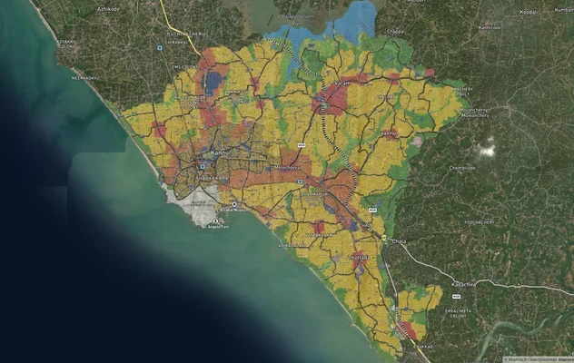
Kannur Masterplan: AMRUT Zone Check and Land Use Guide
View Kannur Masterplan as a live map overlay – check any plot's land use zone for free on 1acre.in. Kannur City Master P...
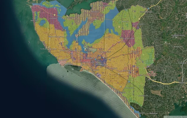
Kollam AMRUT Masterplan: Zone Check and Land Use Guide
View Kollam Masterplan as a live map overlay – check any plot's land use zone for free on 1acre.in. Kollam City Masterpl...
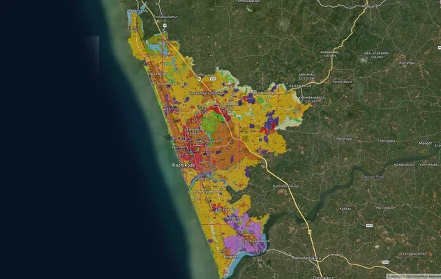
Kozhikode City Masterplan 2040: AMRUT Zone Check and Land Use Guide
View Kozhikode Masterplan as a live map overlay – check any plot's land use zone for free on 1acre.in. Kozhikode masterp...
More Layers in Kerala
Kannur Masterplan: AMRUT Zone Check and Land Use Guide
View Kannur Masterplan as a live map overlay – check any plot's land use zone for free on 1acre.in. Kannur City Master P...
Kollam AMRUT Masterplan: Zone Check and Land Use Guide
View Kollam Masterplan as a live map overlay – check any plot's land use zone for free on 1acre.in. Kollam City Masterpl...
Kozhikode City Masterplan 2040: AMRUT Zone Check and Land Use Guide
View Kozhikode Masterplan as a live map overlay – check any plot's land use zone for free on 1acre.in. Kozhikode masterp...