
Paniyala-Barodameo Expressway


Paniyala Barodameo Expressway Preview
Try the Paniyala-Barodameo Expressway on the map
Sign in once and explore the layer for a full day.
- No card details needed
- Find nearby verified lands for sale
Overview
The Paniyala Barodameo Expressway Alwar corridor is an 86.513 km, six-lane access-controlled greenfield national highway under Bharatmala Pariyojana (Lot-6, Package-4), running from Paniyala in Jaipur district to Barodameo in Alwar district north of Alwar city.
NHAI has awarded both civil packages at an estimated cost of ₹2,876.42 crore including land acquisition.This page covers the notified alignment, its overlap with UIT Alwar Master Plan 2031 zones and the Aravalli Notification, and the checks buyers must run before signing anything along the route.
Aravalli Notification and UIT Alwar Master Plan 2031 on the Corridor
The corridor sits inside Alwar district, and Alwar district sits inside the MoEF&CC Aravalli Notification dated 7 May 1992. That notification prohibits specified construction and mining activities without prior environmental clearance, regardless of what the sale deed says or what the panchayat approves. Add the NHAI 3(A) and 3(D) notifications for the 86.513 km alignment, and a single parcel can carry three separate freezes on transfer or construction.
The table below shows the document stack every buyer must verify along the Paniyala Barodameo Expressway Alwar route.
Aravalli Notification and UIT Alwar Master Plan 2031 on the Corridor
Document / Zone
What It Governs
Required Before Purchase?
Common Trap
NHAI 3(A) / 3(D) notification
Highway acquisition strip
Confirm khasra outside notified strip
Sold as unrelated farmland
Aravalli Notification (1992)
Construction and mining bar
Prior environmental clearance
Ignored by broker entirely
UIT Alwar Master Plan 2031 zone
Buildability under 5-zone framework
Zone certificate from UIT
Peripheral Control Zone shown as residential
gair mumkin pahar entry (jamabandi)
Uncultivable hill classification
Fresh jamabandi and khasra
Concealed by an old record
90A / 90B conversion order
Agricultural to non-agricultural change
SDM/Collector order
Shown as pending, never granted
If the seller cannot produce the current jamabandi, the UIT zone certificate, and written confirmation the khasra number falls outside the NHAI notification, the plot is not sellable in any meaningful sense. No colonizer brochure or dealer promise substitutes for a Collector order under the Rajasthan Land Revenue Act.
Growth Corridors from Mator to Barodameo Package
The alignment enters Alwar at Mator and exits at Barodameo, passing through 33 revenue villages including Siwana, Ghatla, Barwada, Naurangabad, Bhulla Ka Bas, Chanduki, and Pipli Ka Bas. Package 1 (Paniyala to Mator, 40.080 km) sits astride the Jaipur-Alwar boundary; Package 2 (Mator to Barodameo, 46.433 km) is entirely within Alwar. That district split matters because UIT Alwar’s planning writ ends at Alwar city’s notified area, while village stretches fall under panchayat and Collector jurisdiction.
The table below sorts the notable localities along the Delhi Mumbai Expressway link Alwar corridor.
Growth Corridors from Mator to Barodameo Package
Corridor / Locality
Alwar Tehsil
Growth Driver
Known Risk
Mator
Kishangarh Bas
Package 1 exit, Jaipur-side spillover
Aravalli slope tracts nearby
Siwana – Ghatla
Kishangarh Bas
4 planned interchanges on corridor
Speculative pre-acquisition pricing
Barwada – Naurangabad
Behror
Mid-corridor freight logistics
gair mumkin pahar entries
Bhulla Ka Bas – Chanduki
Behror
Feeder access to NH-148B
Missing 90B conversion orders
Barodameo
Behror
Delhi-Mumbai Expressway junction
Colonizer layouts without UIT sanction
The most misread corridor is Barodameo. Buyers assume the direct link to the Delhi-Mumbai Expressway automatically makes adjacent farmland investable. It does not. Most Barodameo-side plots being marketed as expressway-adjacent are on unconverted agricultural land within Alwar district, which means the Aravalli Notification test and the 90A conversion order both apply. Verify both before treating any Barodameo parcel as construction-ready.
For Land Owners & Agents
Looking to sell your land in Rajasthan?
I want to sell my land in Rajasthan
10:32
Plz share your Land's location - We will list it on 1acre map, for Free.
10:32

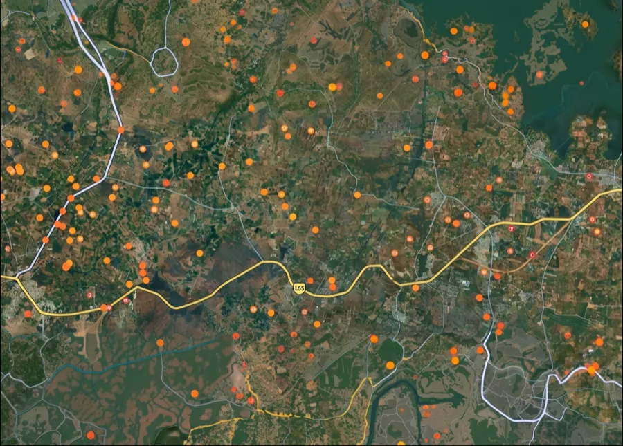
For Land Buyers
Browse all verified lands & plots in Rajasthan
Every listing goes through our Preliminary Verification Process.
More Layers in Rajasthan
See all 16 layers
Ajmer Masterplan Land: ADA Zones, 90A Rules | 1acre.in
Ajmer masterplan land zone: what every buyer must verify before signing
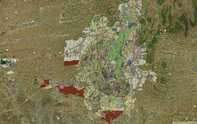
JDA Master Plan 2025 Jaipur: Zone Map and 2047 Status
JDA Master Plan 2025 is valid to 2027: see the Jaipur zone map, U2 HIZ meaning, zone-wise list, official PDFs and 2047 s...
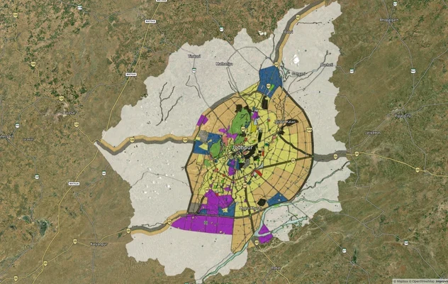
Jodhpur JODA Masterplan 2031: Zone Check and Land Use Guide
View Jodhpur Masterplan as a live map overlay – check any plot's land use zone for free on 1acre.in. Jodhpur masterplan ...
More Layers in Rajasthan
Ajmer Masterplan Land: ADA Zones, 90A Rules | 1acre.in
Ajmer masterplan land zone: what every buyer must verify before signing
JDA Master Plan 2025 Jaipur: Zone Map and 2047 Status
JDA Master Plan 2025 is valid to 2027: see the Jaipur zone map, U2 HIZ meaning, zone-wise list, official PDFs and 2047 s...
Jodhpur JODA Masterplan 2031: Zone Check and Land Use Guide
View Jodhpur Masterplan as a live map overlay – check any plot's land use zone for free on 1acre.in. Jodhpur masterplan ...
Frequently Asked Questions
The alignment is officially fixed by NHAI. It starts at Paniyala in Jaipur district (chainage 0.000) and terminates at Barodameo in Alwar district (chainage 86.513), passing north of Alwar city through 33 named revenue villages under two civil packages.
The project is awarded at an estimated ₹2,876.42 crore including land acquisition, on EPC mode under Bharatmala Pariyojana Lot-6 Package-4. NHAI selected Joint Stock Company Industrial Association Vozrozhdenie as the lowest bidder on both civil packages.
Yes. The expressway is designed specifically as the missing link between the 313 km Ambala-Kotputli Economic Corridor (NH-152D) at Paniyala and the 1,350 km Delhi-Mumbai Expressway at Barodameo, integrating northern state traffic to the DME.
Package 2 covers 46.433 km through 33 villages including Mator, Siwana, Ghatla, Sahanpuri, Barwada, Basai Jagta, Naurangabad, Bhulla Ka Bas, Chanduki, Tuleda, Bagadmev, Pipli Ka Bas, and Butiyana in Alwar district, per the NHAI Schedule-A bid document.
No, it bypasses. The corridor passes north of Alwar city and does not enter the UIT Alwar Master Plan 2031 notified urban area of 48.14 sq km. City-side plots are unaffected by the 3(A) notification but remain subject to UIT zone controls.
No, not without prior clearance. The 7 May 1992 MoEF&CC Aravalli Notification bars listed construction across Alwar district without environmental clearance, and any plot marked gair mumkin pahar in the jamabandi cannot be built on regardless of highway proximity.
The EPC contract carries a 730-day (two-year) construction deadline from the appointed date. NHAI officials have stated land transfer is being completed in phases, with commercial opening tied to package-wise completion after physical possession is handed over.
The corridor runs 86.513 km as a six-lane access-controlled greenfield national highway from Paniyala in Jaipur district to Barodameo in Alwar district, awarded across two civil packages at an estimated Rs 2,876.42 crore including land acquisition.
Source
Official government land and infrastructure records
Official Website
environmentclearance.nic.in
Coordinate Reference System
EPSG:4326 (WGS 84)
Geometry Type
LineString / MultiLineString
Data Format
Vector (GeoJSON) + Raster Tiles
Last Verified
2026
Status
Active
Was this layer helpful?
Anything wrong, outdated, or missing we want to hear it.