
IAF Air Funnel Zones - Ludhiana


Iaf Air Funnel Zones Ludhiana Preview
Try the IAF Air Funnel Zones - Ludhiana on the map
Sign in once and explore the layer for a full day.
- No card details needed
- Find nearby verified lands for sale
Overview
The Ludhiana Halwara Air Funnel Zone covers the construction height restrictions radiating from Halwara Air Force Station, one of the Indian Air Force's oldest frontline airbases, where a new 135.5-acre civil enclave is being built to become Halwara International Airport. Every structure within 20 km of the Aerodrome Reference Point needs a No Objection Certificate under the Ministry of Civil Aviation's GSR 751(E) rules, and Halwara's status as an active frontline base near the western border means both AAI's civilian process and Air Force review can apply to the same plot. This page explains what each height surface permits, where the new terminal is actually being built, and which localities carry the tightest ceilings before you buy.
Regulatory Red Flags Around the Ludhiana Halwara Air Funnel Zone
Halwara is not a converted regional airstrip. It served as an allied staging base during World War II, was reactivated under the Indian Air Force in 1950, and played an active role in both the 1965 and 1971 wars because of its location near the western border. It remains home to No. 220 Squadron, the Desert Tigers, and No. 221 Squadron, the Valiants, both flying the Sukhoi Su-30MKI. That operational history is exactly why construction near this base carries more scrutiny than an ordinary civilian airport would.
Zone Type
Location
Height Cap
Requires
Commonly Misrepresented?
No-construction strip
Within 500 metres of the runway strip
No construction permitted at all
Not applicable, an absolute prohibition
Rarely, the restriction is usually visible on the ground
Inner Horizontal Surface
Up to 4 km from the Aerodrome Reference Point
Maximum 45 metres
AAI NOC for civilian construction, alongside Air Force review given the base's frontline status
Yes, plots near Halwara are marketed without disclosing that Air Force review can run alongside the standard AAI process
Outer Horizontal Surface
4 km to 15 km radius
Height increases 1 metre for every 20 metres of distance, capped at 300 metres
AAI NOC still mandatory at every distance
Sometimes assumed unrestricted once past 4 km, which is incorrect
Approach or Funnel Surface
Runway approach and departure path, both ends
Height equals 2 percent of distance from the runway edge, a 1:50 slope
AAI NOC via NOCAS, with Air Force clearance where operational interests are directly affected
Yes, land under the direct flight path is sold as ordinary residential without disclosing the slope-based cap
The new civil enclave itself sits at a specific, documented location: village Aitiana in Raikot Tehsil, Ludhiana district, where the Airports Authority of India has developed the integrated terminal and cargo facility inside the existing air base. That is a useful anchor point for anyone trying to work out how close a specific plot actually sits to the operational core, rather than relying on the town name Halwara alone, since the base's footprint extends well beyond the town itself.
Because Halwara remains an active fighter base flying Su-30MKI squadrons rather than a decommissioned or purely civilian facility, any construction proposal that touches its operational or security interests can draw a parallel Air Force review in addition to AAI's standard civilian NOC process.
That second layer of review does not run on a published civilian timeline, and it is the detail most brokers leave out when pitching land near the new terminal. Not specified.
Growth Corridors and Micro Markets Around the Ludhiana Halwara Air Funnel Zone
Ludhiana's airport story is really a story about a handover, from a small, constrained old airport to a much larger new one, and land value is shifting accordingly across different localities.
Corridor / Locality
Zone Status
Growth Driver
Known Risk
Halwara town, immediate Air Force Station vicinity
Inner Horizontal Surface and Funnel
A frontline airbase upgrading with a new international terminal and cargo facility
Frontline base status can add Air Force review beyond the standard AAI process
Aitiana village, Raikot Tehsil (civil enclave site)
Inner Horizontal Surface and Funnel, direct terminal footprint
Direct proximity to the 135.5-acre integrated civil enclave and cargo terminal
Confirm the exact civil enclave boundary before assuming a plot sits outside the construction footprint
Sahnewal, the old Ludhiana airport
Being effectively superseded by Halwara International
Established but limited by a shorter runway that could not handle wide-body aircraft
Land priced on Sahnewal proximity may lose relative value once Halwara becomes the city's primary air gateway
Ludhiana city core, Punjab's industrial hub with roughly 4 million people
Outer Horizontal Surface for the portion within range
Direct beneficiary of a new international-capable gateway at the geographic centre of the state
Still requires an AAI or Air Force NOC for taller structures within 20 km; industrial density adds pressure to build tall regardless
The runway upgrade at Halwara is what makes this shift real rather than aspirational. Unlike Sahnewal, Halwara's runway length can accommodate large narrow-body aircraft and even some wide-body types such as the Airbus A321, opening the door to direct flights that the old airport's range restrictions never allowed.
As of the most recent public update, the Indian Air Force had completed most of the runway overlay work and the civil enclave's allied works, with the project awaiting only its formal operational code before commercial flights begin. Land near Aitiana and the civil enclave carries the clearest near-term upside on that basis, but it is also the stretch where the terminal's own boundary, not just the airport's broader funnel zone, needs to be checked before any purchase.
For Land Owners & Agents
Looking to sell your land in Punjab?
I want to sell my land in Punjab
10:32
Plz share your Land's location - We will list it on 1acre map, for Free.
10:32

For Land Buyers
Browse all verified lands & plots in Punjab
Every listing goes through our Preliminary Verification Process.
More Layers in Punjab
See all 13 layers
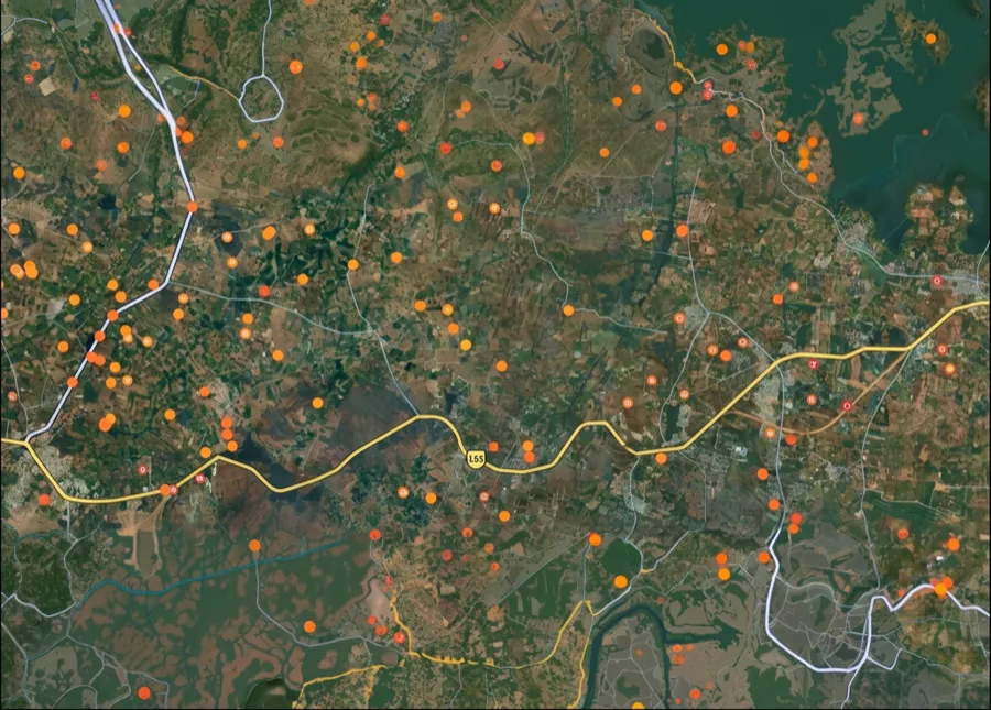
IAF Air Funnel Zone Bathinda: Height Rules
View the Bathinda air funnel zone on a live map. Check AAI height clearance and Works of Defence Act NOC rules before bu...
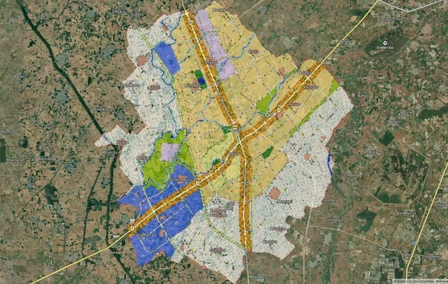
Banur Masterplan
View Banur Masterplan as a live map overlay – check any plot's land use zone for free on 1acre.in. Banur LPA Master Plan...
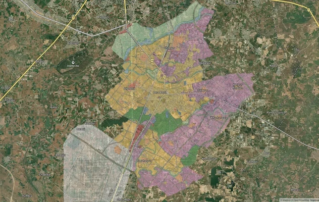
Derabassi Masterplan
View Derabassi Masterplan as a live map overlay – check any plot's land use zone for free on 1acre.in. Derabassi LPA Mas...
More Layers in Punjab
IAF Air Funnel Zone Bathinda: Height Rules
View the Bathinda air funnel zone on a live map. Check AAI height clearance and Works of Defence Act NOC rules before bu...
Banur Masterplan
View Banur Masterplan as a live map overlay – check any plot's land use zone for free on 1acre.in. Banur LPA Master Plan...
Derabassi Masterplan
View Derabassi Masterplan as a live map overlay – check any plot's land use zone for free on 1acre.in. Derabassi LPA Mas...
Frequently Asked Questions
It covers the height restriction corridor around Halwara Air Force Station, one of the IAF's oldest frontline airbases, where a new 135.5-acre civil enclave is being built to become Halwara International Airport, serving Ludhiana.
In effect, yes. Halwara's longer runway can handle wide-body aircraft that Sahnewal's older, shorter airport could not, positioning it as the city's primary gateway once commercial operations begin.
As of the most recent public update, IAF runway overlay and allied civil works were nearly complete, with the project awaiting its formal operational code. Not specified.
Permitted height equals 2 percent of the distance from the runway edge along the approach and departure path, a 1:50 slope, in addition to the fixed 45 metre cap within 4 km under the Inner Horizontal Surface.
Yes. As an active fighter base near the western border flying Su-30MKI squadrons, construction proposals touching its operational interests can draw a parallel Air Force review beyond the standard AAI civilian process.
The integrated civil enclave and cargo terminal are located in village Aitiana, Raikot Tehsil, Ludhiana district, inside the existing Halwara Air Force Station boundary, according to the project's official pre-feasibility documentation.
For land inside or near the funnel and inner surface zones, this is likely, since AAI handles routine civilian height clearance while the Air Force reviews anything touching its operational interests on the same base.
Unauthorised construction near an active frontline airbase risks demolition orders and denial of occupancy certificates, consistent with enforcement patterns seen at other Indian airports where height rules were ignored.
Source
Airports Authority of India (AAI) NOCAS guidelines and Aerodrome Safeguarding Circular; Works of Defence Act, 1903 (Ministry of Defence)
Official Website
aai.aero
Legal Framework
Aircraft Act, 1934 read with Civil Aviation Requirements Section 3, Series C, Part II (height surfaces), and Works of Defence Act, 1903 (defence establishment NOC)
Coordinate Reference System
EPSG:4326 (WGS 84)
Geometry Type
Polygon / MultiPolygon
Data Format
Vector (GeoJSON) + Raster Tiles
Last Verified
2026
Status
Active
Was this layer helpful?
Anything wrong, outdated, or missing we want to hear it.