
Mohali-Sehna Highway


Mohali Sehna Highway Preview
Try the Mohali-Sehna Highway on the map
Sign in once and explore the layer for a full day.
- No card details needed
- Find nearby verified lands for sale
Overview
Mohali-Sehna Highway land runs along NH-205AG, the greenfield spine of the Mohali-Sirhind-Sehna corridor that links the Tricity to Sirhind on NH-44 and ends at Sehna in Barnala on the Amritsar-Jamnagar corridor. Built under Bharatmala on a 60 metre right of way, the roughly 108 km alignment crosses Fatehgarh Sahib, Patiala, Malerkotla, Sangrur and Barnala. The Mohali package targets completion around May 2026. But the Chandigarh periphery rules, not a masterplan boom, decide what you can actually build here. This page maps the traps, the nodes that hold value, and the checks to clear before you pay.
Mohali-Sehna Highway Land: The 16 km Chandigarh Periphery Trap
A greenfield highway shortens your drive. It does not touch the law that governs the land beside it, and near Mohali that law is unusually harsh. The Punjab New Capital (Periphery) Control Act, 1952 bars construction within 16 km of Chandigarh's outer boundary outside the lal dora, and GMADA enforces it with demolition drives, show-cause notices and FIRs under PAPRA. This is not a paper rule. GMADA has razed colonies at Jhampur, Kheri and Sundra, and booked dozens of colonisers around Balongi and Behlolpur.
That single fact reshapes any Mohali-Sehna Highway land purchase near the Tricity end. Land that looks like a bargain plot can be legally frozen, because periphery pockets outside the sectoral grid demand a formal CLU certificate before residential use is even lawful. Add the highway's own acquisition on top: notifications under Section 3D of the National Highways Act were issued across all four packages in 2022-23, so the alignment strip is already government land.
This is the checklist that separates a clean buy from a demolition notice.
Mohali-Sehna Highway Land: The 16 km Chandigarh Periphery Trap
Check
What it proves
Walk away if
Distance from Chandigarh boundary
Whether the plot sits inside the 16 km Periphery Controlled Area
Land is inside 16 km, outside lal dora, with no sanction
CLU certificate
Land converted from agriculture to residential under PAPRA
Seller offers only an agricultural jamabandi
GMADA licence and unauthorised-colony list
The colony is authorised, not on GMADA's published illegal list
No licence number, or the colony appears on the list
Section 3D and alignment
The plot is not part of the acquired highway strip
The survey number sits under a 3D notification
Fard and title chain
Clean ownership, not periphery, forest or PLPA-restricted land
Seller cannot produce a clear fard
Check
What it proves
Walk away if
Distance from Chandigarh boundary
Whether the plot sits inside the 16 km Periphery Controlled Area
Land is inside 16 km, outside lal dora, with no sanction
CLU certificate
Land converted from agriculture to residential under PAPRA
Seller offers only an agricultural jamabandi
GMADA licence and unauthorised-colony list
The colony is authorised, not on GMADA's published illegal list
No licence number, or the colony appears on the list
Section 3D and alignment
The plot is not part of the acquired highway strip
The survey number sits under a 3D notification
Fard and title chain
Clean ownership, not periphery, forest or PLPA-restricted land
Seller cannot produce a clear fard
Make the seller prove location before price. On the Mohali side, a plot four kilometres from a slip road can still be unbuildable simply because it lies inside the periphery belt, and GMADA does not negotiate with a demolition crew. Remember the Sahara City Homes case near Banur, where a marquee project's licence lapsed inside the controlled periphery and left buyers stranded. There is also live litigation on this very corridor: NHAI has gone to the Supreme Court for permission to bridge the SYL canal at Pawala village, a reminder that even the road's own path is not fully settled. If you are weighing plots toward Chandigarh, read the Chandigarh Masterplan layer [LAYER PAGE NEEDED | confirm before linking] alongside this one, because the same CLU logic governs both. A highway on the map is not a title in your hand.
Bhagomajra to Sehna: Where the Corridor Adds Value
Value on this road is lopsided. It clusters hard at the Mohali end and thins out fast toward Barnala, and the safest-looking end is also the most heavily policed. The corridor starts at Bhagomajra in SAS Nagar and ends at Sehna, where it meets the Amritsar-Jamnagar corridor and the Ludhiana-Bhatinda Highway.
This is how the corridor's main nodes compare for a land buyer.
Bhagomajra to Sehna: Where the Corridor Adds Value
Node
Growth driver
Known risk
Bhagomajra, Mohali end
NH-205A start, close to IT City, Aerocity and Chandigarh Airport
16 km Periphery Act, GMADA demolitions, priciest land
Saidpura, Sirhind
Junction with NH-44 (GT Road) in Fatehgarh Sahib
Section 3D land taken, SYL bridge litigation nearby
Malerkotla interchange
Connects the Delhi-Amritsar-Katra Expressway (NE-5) [LAYER PAGE NEEDED]
Mid-corridor, thinner demand, part speculative
Sehna, Barnala end
Meets Amritsar-Jamnagar corridor and Ludhiana-Bhatinda NH-754AD [LAYER PAGE NEEDED]
Far from Tricity jobs, farmland, compensation disputes
Node
Growth driver
Known risk
Bhagomajra, Mohali end
NH-205A start, close to IT City, Aerocity and Chandigarh Airport
16 km Periphery Act, GMADA demolitions, priciest land
Saidpura, Sirhind
Junction with NH-44 (GT Road) in Fatehgarh Sahib
Section 3D land taken, SYL bridge litigation nearby
Malerkotla interchange
Connects the Delhi-Amritsar-Katra Expressway (NE-5) [LAYER PAGE NEEDED]
Mid-corridor, thinner demand, part speculative
Sehna, Barnala end
Meets Amritsar-Jamnagar corridor and Ludhiana-Bhatinda NH-754AD [LAYER PAGE NEEDED]
Far from Tricity jobs, farmland, compensation disputes
The Bhagomajra end is where buyers overpay and underread. Everyone wants land minutes from IT City and the airport, so brokers price it like a done deal, then the periphery rules and GMADA enforcement quietly cap what that land can become. Saidpura near Sirhind is the steadier bet, because the NH-44 junction gives it real GT Road connectivity that does not depend on a future notification. The Malerkotla interchange is the genuine sleeper, since it will plug directly into the Delhi-Amritsar-Katra Expressway, yet demand there is still shallow enough that patient money can enter early. Treat the Sangrur and Barnala stretches as farmland with a story: the land is cheaper, but compensation disputes and distance from jobs mean the upside arrives slowly. Across all four packages, one rule holds. If a seller cannot lay your survey number over the current NHAI alignment and hand you a valid CLU, that plot is a rumour dressed as an investment.
Was this layer helpful?
Anything wrong, outdated, or missing we want to hear it.
For Land Owners & Agents
Looking to sell your land in Punjab?
I want to sell my land in Punjab
10:32
Plz share your Land's location - We will list it on 1acre map, for Free.
10:32


For Land Buyers
Browse all verified lands & plots in Punjab
Every listing goes through our Preliminary Verification Process.
More Layers in Punjab
See all 13 layers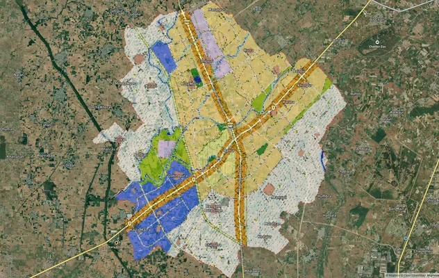
Banur Masterplan
View Banur Masterplan as a live map overlay – check any plot's land use zone for free on 1acre.in. Banur LPA Master Plan...
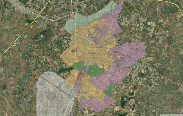
Derabassi Masterplan
View Derabassi Masterplan as a live map overlay – check any plot's land use zone for free on 1acre.in. Derabassi LPA Mas...
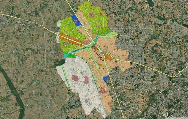
Kharar Masterplan
View Kharar Masterplan as a live map overlay – check any plot's land use zone for free on 1acre.in. Kharar masterplan zo...
More Layers in Punjab
Banur Masterplan
View Banur Masterplan as a live map overlay – check any plot's land use zone for free on 1acre.in. Banur LPA Master Plan...
Derabassi Masterplan
View Derabassi Masterplan as a live map overlay – check any plot's land use zone for free on 1acre.in. Derabassi LPA Mas...
Kharar Masterplan
View Kharar Masterplan as a live map overlay – check any plot's land use zone for free on 1acre.in. Kharar masterplan zo...
Frequently Asked Questions
Yes with discipline, no with hype. Land near the Sirhind and Malerkotla junctions can reward patient buyers, but the Mohali end sits inside the 16 km Chandigarh periphery, where building rights are tightly restricted regardless of the highway.
Yes, in parts. Work on the Mohali-Sirhind package (NH-205AG) has started, with completion targeted around May 2026. The corridor runs on the Hybrid Annuity Model across four packages under Bharatmala Pariyojana.
The alignment crosses Fatehgarh Sahib, Patiala, Malerkotla, Sangrur and Barnala, besides SAS Nagar at the Mohali end. It starts at Bhagomajra near Mohali and terminates at Sehna in Barnala district.
Rarely without sanction. The Punjab New Capital (Periphery) Control Act, 1952 prohibits construction within 16 km of Chandigarh's boundary outside the lal dora. GMADA demolishes violations, so verify periphery status before buying anything.
Yes. Without change of land use from agriculture to residential, the colony is illegal under PAPRA. The sub-registrar can refuse the sale deed, and GMADA can raze the construction later.
Yes, mostly. NHAI issued Section 3D notifications for all four packages in 2022-23, and Mohali handed over acquired land after paying landowners. A plot on the alignment strip is government land, not a buyable parcel.
NHAI's Chandigarh office has targeted May 2026 for the Mohali-Sirhind package, which links Chandigarh to NH-44. Other packages toward Malerkotla, Sangrur and Barnala follow separate, later timelines subject to progress.
NHAI moved the Supreme Court to build a bridge over the Satluj-Yamuna Link canal at Pawala village in Fatehgarh Sahib. A standing status quo order on the SYL canal means the crossing needs the court's clearance first.