
Ludhiana-Bhatinda Expressway


Ludhiana Bhatinda Expressway Preview
Try the Ludhiana-Bhatinda Expressway on the map
Sign in once and explore the layer for a full day.
- No card details needed
- Find nearby verified lands for sale
Overview
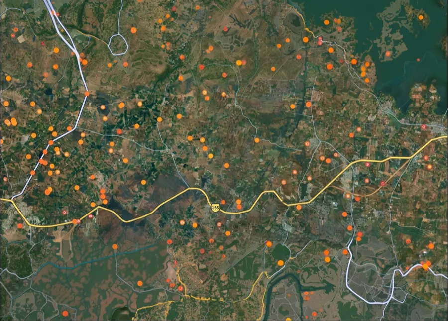
Ludhiana-Bathinda Expressway land sits along NH-754AD, a 75.4 km six-lane access-controlled greenfield highway running from Ballowal in Ludhiana to Rampura Phul near Bathinda. It forms part of the Ludhiana-Ajmer Economic Corridor under Bharatmala Phase-1, cutting through 36 villages across Ludhiana, Barnala and Bathinda districts.
The corridor needed roughly 458 hectares, almost all of it farmland. This page maps the regulatory traps on the alignment, the villages that actually move value, and the checks to settle before you sign.
Ludhiana-Bathinda Expressway Land: Access Control and the CLU Trap
A greenfield expressway is acquired land, and acquired land carries paperwork most brokers quietly skip. On NH-754AD the right of way runs about 60 metres, and the building line pushes construction back even further from the carriageway. Two documents then decide whether your plot is an asset or a liability: the CLU certificate and the NHAI alignment map.
Here is the checklist that separates a clean Ludhiana-Bathinda Expressway land purchase from a regularisation nightmare.
Ludhiana-Bathinda Expressway Land: Access Control and the CLU Trap
Check
What it proves
Walk away if
CLU certificate
Land converted from agriculture to residential under PAPRA
Seller shows only an agricultural jamabandi
PAPRA licence (GLADA or Bathinda authority)
Colony is authorised, not one of Punjab's roughly 14,000 illegal ones
There is no licence number to verify
NHAI alignment and ROW
Plot sits outside the acquired 60 metre right of way and building line
Seller cannot overlay the survey number on the alignment
Interchange distance
The plot can physically reach the highway
Nearest interchange is far and there is no service road
Fard and registry
Title is clean and not under a pending acquisition award
An award is notified but compensation is disputed
Check
What it proves
Walk away if
CLU certificate
Land converted from agriculture to residential under PAPRA
Seller shows only an agricultural jamabandi
PAPRA licence (GLADA or Bathinda authority)
Colony is authorised, not one of Punjab's roughly 14,000 illegal ones
There is no licence number to verify
NHAI alignment and ROW
Plot sits outside the acquired 60 metre right of way and building line
Seller cannot overlay the survey number on the alignment
Interchange distance
The plot can physically reach the highway
Nearest interchange is far and there is no service road
Fard and registry
Title is clean and not under a pending acquisition award
An award is notified but compensation is disputed
Make the broker prove access. An access-controlled highway has no entry except at designated interchanges, and Ballowal and Rampura Phul anchor the only two you can bank on. A plot touching the fence eight kilometres from either gains a view, not a gate. The 2024 PAPRA amendment waives the NOC for plots up to 500 square yards bought before 31 July 2024, yet it does not legalise the colony underneath it. And here is what no government portal will tell you: a parcel beside a disputed acquisition can stay frozen for years while farmers pursue arbitration, so a clean fard is not the same as a settled corridor. Remember how this road gets built. NHAI acquires most of the land, then Ceigall finishes it under the Hybrid Annuity Model, which is exactly why arbitration sits under so many survey numbers here.
Ballowal to Rampura Phul: Where the Corridor Adds Value
This is part of the Ludhiana-Ajmer Economic Corridor, and it is being built in two packages that meet near Tallewal. Value concentrates hard at the interchanges and thins out fast in between.
This is how the corridor's main nodes compare for a land buyer.
Ballowal to Rampura Phul: Where the Corridor Adds Value
Node
Growth driver
Known risk
Ballowal, Ludhiana end
Interchange with the Delhi-Amritsar-Katra Expressway (NE-5) [LAYER PAGE NEEDED], near Ludhiana city and airport
Highest prices, tight ROW, verify CLU first
Tallewal and NH-703 junction, Barnala
Mid-corridor point where Package 1 and Package 2 meet
Active compensation stir, possession still contested
Rampura Phul, Bathinda end
Junction with the Amritsar-Bathinda Expressway (NH-754A) [LAYER PAGE NEEDED]
Farther from jobs, largely speculative today
Barnala and Tapa villages
Farmland directly on the alignment
Land under acquisition award, rate disputes ongoing
Node
Growth driver
Known risk
Ballowal, Ludhiana end
Interchange with the Delhi-Amritsar-Katra Expressway (NE-5) [LAYER PAGE NEEDED], near Ludhiana city and airport
Highest prices, tight ROW, verify CLU first
Tallewal and NH-703 junction, Barnala
Mid-corridor point where Package 1 and Package 2 meet
Active compensation stir, possession still contested
Rampura Phul, Bathinda end
Junction with the Amritsar-Bathinda Expressway (NH-754A) [LAYER PAGE NEEDED]
Farther from jobs, largely speculative today
Barnala and Tapa villages
Farmland directly on the alignment
Land under acquisition award, rate disputes ongoing
The Barnala stretch is where buyers get burned. Farmers across twelve villages halted work demanding Rs 80 lakh an acre against the roughly Rs 58 lakh on offer, and possession there is not fully settled. Speculators read "expressway village" and pay Ludhiana rates for Bathinda-district risk. Ballowal is the genuine prize, because an interchange with the Delhi-Amritsar-Katra Expressway plus the airport link turns land into a junction, not just a frontage. Treat everything between the two ends as farmland with a story until the CLU and the alignment say otherwise.
For Land Owners & Agents
Looking to sell your land in Punjab?
I want to sell my land in Punjab
10:32
Plz share your Land's location - We will list it on 1acre map, for Free.
10:32

For Land Buyers
Browse all verified lands & plots in Punjab
Every listing goes through our Preliminary Verification Process.
More Layers in Punjab
See all 14 layers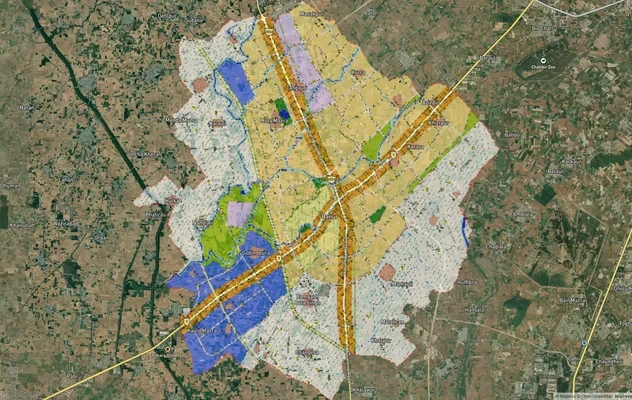
Banur Masterplan
View Banur Masterplan as a live map overlay – check any plot's land use zone for free on 1acre.in. Banur LPA Master Plan...
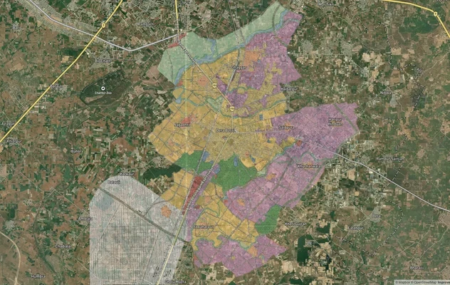
Derabassi Masterplan
View Derabassi Masterplan as a live map overlay – check any plot's land use zone for free on 1acre.in. Derabassi LPA Mas...
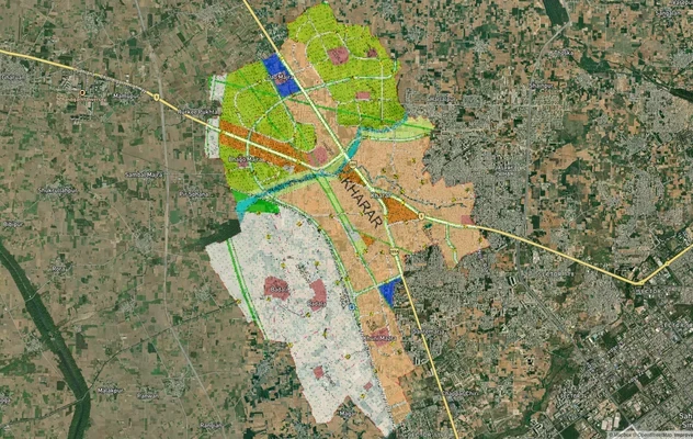
Kharar Master Plan 2031: Map, PDF and Zone Check
Kharar Master Plan 2031 map, where GMADA publishes the PDF, PR road links and the 2025 approvals freeze, then check your...
More Layers in Punjab
Banur Masterplan
View Banur Masterplan as a live map overlay – check any plot's land use zone for free on 1acre.in. Banur LPA Master Plan...
Derabassi Masterplan
View Derabassi Masterplan as a live map overlay – check any plot's land use zone for free on 1acre.in. Derabassi LPA Mas...
Kharar Master Plan 2031: Map, PDF and Zone Check
Kharar Master Plan 2031 map, where GMADA publishes the PDF, PR road links and the 2025 approvals freeze, then check your...
Frequently Asked Questions
Yes, but only near interchanges like Ballowal, and only with a valid CLU certificate. The corridor lifts value, yet the access-controlled design means a fence-facing plot with no interchange nearby stays farmland in practice.
Yes. NH-754AD is being built on the Hybrid Annuity Model by Ceigall. Package 2's concession was signed in December 2024, with completion targeted for September 2027 after years of land acquisition delays.
The expressway runs through 36 villages across three districts: Ludhiana, Barnala and Bathinda. It begins at Ballowal near Ludhiana and ends at Rampura Phul, meeting the Amritsar-Bathinda Expressway.
Yes. Without change of land use from agriculture to residential, the colony is illegal under PAPRA. The sub-registrar can refuse your sale deed, and no water or power connection is guaranteed.
No. Access-controlled highways allow entry only at designated interchanges. NHAI grants access by licence, not by default, so a roadside plot on NH-754AD does not mean a usable entrance.
Package 2's stipulated completion is 28 September 2027, roughly 730 days from the September 2025 appointed date. Package 1 near Rampura Phul runs separately. Both slipped earlier over land acquisition.
It varies by district. Barnala farmers protested a rate near Rs 58 lakh per acre, demanding Rs 80 lakh to match Ludhiana. Disputed parcels can still face possession delays and arbitration.
NH-754AD is the Punjab leg of the wider Ludhiana-Ajmer Economic Corridor under Bharatmala Phase-1. This stretch runs 75.4 km from Ballowal in Ludhiana to Rampura Phul near Bathinda, crossing 36 villages across Ludhiana, Barnala and Bathinda districts as a six-lane access-controlled greenfield highway.
Source
Official government land and infrastructure records
Official Website
environmentclearance.nic.in
Coordinate Reference System
EPSG:4326 (WGS 84)
Geometry Type
LineString / MultiLineString
Data Format
Vector (GeoJSON) + Raster Tiles
Last Verified
2026
Status
Active
Was this layer helpful?
Anything wrong, outdated, or missing we want to hear it.