Chennai Air Funnel Zones: Building Height Restrictions
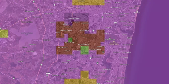
Chennai Air Funnel Zones Preview
Try the Chennai Air Funnel Zones on the map
Sign in once and explore the layer for a full day.
- No card details needed
- Find nearby verified lands for sale
Overview
Chennai airport height restriction zone rules bind every plot within 20 km of Chennai International Airport (IATA: MAA, ICAO: VOMM), located at Tirusulam and operated by AAI. The airport ARP elevation is 10.363 m AMSL, and the aerodrome elevation is 15.85 m AMSL, as recorded in AAI's published CCZM for Chennai (Drawing No. AAI/14-A/2015). All structures in this radius require an AAI height clearance NOC before construction begins.Why the Chennai Airport Funnel Zone Kills Building Plans That Looked Legal on Paper
Chennai is one of the metros explicitly named in the Ministry of Civil Aviation's national review as heavily impacted by height restrictions, and the reason is straightforward. AAI measures permitted height in AMSL, not from your ground floor. The Aerodrome Reference Point sits at just 10.363 m AMSL. Plots in Pallavaram, Chromepet, and Tirusulam have low ground elevations themselves, which shrinks the available Above Ground Level (AGL) headroom dramatically once AAI runs the AMSL arithmetic.
CCZM Height Restrictions Around Chennai Airport
AAI has published a Colour Coded Zoning Map (CCZM) for Chennai (Drawing No. AAI/14-A, Version 1.0), available on the NOCAS portal. This map divides the area around the airport into color-coded grids, each showing a Permissible Top Elevation (PTE) in AMSL. If your plot falls in a red grid, the local body, whether CMDA, DTCP, or Panchayat, cannot approve your building plan at all. You file through NOCAS directly. The table below shows how height limits change across the main Obstacle Limitation Surfaces (OLS) zones around Chennai airport.
Zone
Distance Reference
Max Permitted Height
Who Approves?
Runway Strip (No-build)
0–500 m from runway edge
No construction
N/A
Inner Horizontal Surface
Up to 4 km from ARP
45 m AGL
AAI NOC mandatory
Airport Funnel (Approach path)
Along runway 07/25 and 12/30 approach
2% of distance from runway edge
AAI NOC mandatory
Conical Surface
4–8 km approx.
Increases 1 m per 20 m of distance
AAI NOC mandatory
Outer Horizontal Surface
Up to 15 km
Up to 300 m AMSL
AAI NOC mandatory
Peripheral Zone
15–20 km
No hard cap, monitored
AAI NOC mandatory
Chennai airport has two runways: primary runway 07/25 and secondary runway 12/30. Both generate separate funnel zones pointing in different directions. A plot that sits safely outside one funnel can fall squarely inside the other. Always verify against both runway alignments through NOCAS before signing.
Pallavaram, Chromepet, Guindy and the Parandur Belt: Where Funnel Zone Risk Is Highest and Where It Is Shifting
The localities that brokers most actively pitch as "airport-adjacent premium" are also those with the tightest height ceilings. Tirusulam and Meenambakkam sit closest to the ARP and face inner horizontal surface limits. Pallavaram and Chromepet fall along the primary runway corridor toward the southeast and sit inside the funnel zone approach path for runway 25. Guindy, roughly 6–8 km from the ARP, sits in the conical surface zone.
The table below covers the corridors buyers are most active in, and the specific risk each carries.
Corridor / Locality
Approx. Distance from ARP
Primary Zone Risk
Key Demand Driver
Tirusulam / Meenambakkam
0–2 km
Inner horizontal surface, 45 m AGL ceiling
Aviation employment, metro access
Pallavaram
3–5 km
Funnel zone (runway 07/25 approach path)
Industrial corridor, metro connectivity
Chromepet
4–6 km
Funnel / inner horizontal surface overlap
Suburban rail, affordability
Guindy
6–8 km
Conical surface
Industrial estate, IT anchor
St. Thomas Mount
5–7 km
Conical / outer surface
Suburban rail, heritage locality
One corridor buyers consistently misread is Guindy. Because it has commercial and IT demand entirely separate from the airport narrative, brokers skip the height restriction conversation. A mid-rise office or apartment project here still requires a NOCAS NOC, and the Permissible Top Elevation for your specific grid, not the street address, is what determines what you can build.
One more factor specific to Chennai: the proposed Parandur Greenfield Airport, located around 70 km west in Kanchipuram district, has received in-principle approval and central government clearance. Land acquisition for its 5,746-acre site is advancing, with construction of Phase 1 targeted for early 2026. Plots in the Parandur, Ekanapuram, and Sriperumbudur belt will eventually face a second, independent set of AAI funnel zone restrictions once that airport is notified.
Was this layer helpful?
Anything wrong, outdated, or missing we want to hear it.
For Land Owners & Agents
Looking to sell your land in Tamil Nadu?
I want to sell my land in Tamil Nadu
10:32
Plz share your Land's location - We will list it on 1acre map, for Free.
10:32

For Land Buyers
Browse all verified lands & plots in Tamil Nadu
Every listing goes through our Preliminary Verification Process.
More Layers in Tamil Nadu
See all 14 layers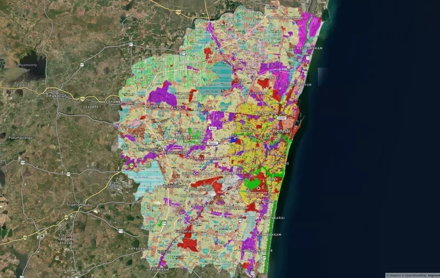
Chennai CMDA Masterplan: Zone Check and Land Use Guide
View Chennai Masterplan as a live map overlay – check any plot's land use zone for free on 1acre.in. Chennai CMDA master...
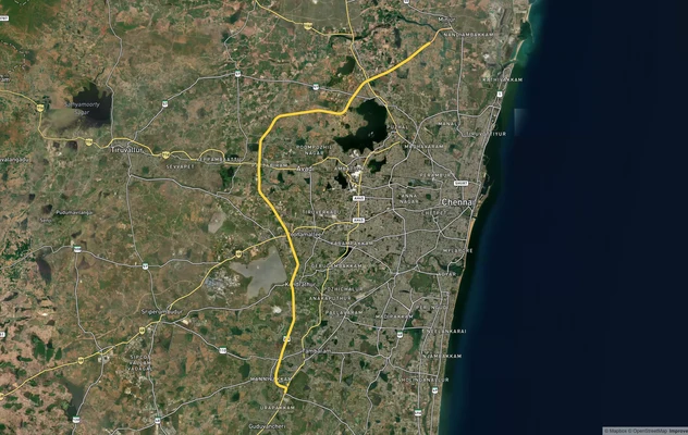
Chennai Outer Ring Road
View the Chennai Outer Ring Road corridor on a live map overlay – check zoning, approvals and acquisition risk free on 1...
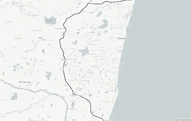
Chennai Peripheral Ring Road
View Chennai Peripheral Ring Road alignment as a live map overlay – check land acquisition risk and plot proximity free ...
More Layers in Tamil Nadu
Chennai CMDA Masterplan: Zone Check and Land Use Guide
View Chennai Masterplan as a live map overlay – check any plot's land use zone for free on 1acre.in. Chennai CMDA master...
Chennai Outer Ring Road
View the Chennai Outer Ring Road corridor on a live map overlay – check zoning, approvals and acquisition risk free on 1...
Chennai Peripheral Ring Road
View Chennai Peripheral Ring Road alignment as a live map overlay – check land acquisition risk and plot proximity free ...