
Thatchoor - Chittoor Expressway


Thatchoor Chittoor Expressway Preview
Try the Thatchoor - Chittoor Expressway on the map
Sign in once and explore the layer for a full day.
- No card details needed
- Find nearby verified lands for sale
Overview
The Thatchoor Chittoor Expressway Chennai is a 116.1 km, 6-lane access-controlled NH-716B greenfield corridor by NHAI, running from Keenatampalli near Chittoor in Andhra Pradesh to Thatchoor near Ponneri and Ennore in Tamil Nadu. Approved under Bharatmala Pariyojana Phase 1 at Rs 3,197.56 crore, the alignment runs 41.5 km through Tiruvallur district, much of it inside the Chennai Metropolitan Area's 1,189 sq km planning region governed by CMDA. This page covers the regulatory checks every land buyer must clear before paying.
Regulatory Red Flags Along the NH-716B Corridor in Tiruvallur
Most plot disputes around the alignment trace to one mistake: buying parcels that fall inside both the 70m Right of Way NHAI corridor and CMDA's Agricultural Use zone under the Second Master Plan 2026. Either trap kills your plan. Both together kills the deal.
The Tamil Nadu Town and Country Planning Act 1971 governs every approval inside the metropolitan area, while the National Highways Act 1956 governs land acquisition for the corridor itself. CMDA controls 233,087 surveyed parcels, and the expressway requires 360.5 hectares of acquisition in Tamil Nadu alone.
This table maps the checks before you transfer any money.
Check
What it confirms
Where to verify
3A and 3D notification
Plot is or is not under NH Act acquisition
Tiruvallur district gazette
CMDA zone
Plot use under SMP 2026 (Agricultural, Primary Residential, Mixed Residential, Industrial, Institutional)
cmdachennai.gov.in/LUMaps
Patta and chitta
Seller is recorded owner under TN Patta Pass Book Act
eservices.tnlandregistration.gov.in
Distance from centreline
Plot sits outside the 70m corridor
NHAI alignment drawing for Lot-3 Package-1
FMB sketch match
Survey number boundaries match field measurement
Village Administrative Officer
If a plot lies inside the 70m corridor or within the 10.45 km overlap with the Chennai Peripheral Ring Road interchange at Kannigaipair, the seller cannot transfer clean title once gazette notification publishes. Brokers around Pondavakkam and Mambakkam routinely quote layout-plot rates on parcels still classified Agricultural in CMDA records. Walk away unless the patta, FMB sketch and CMDA zone all agree on the same survey number you are paying for.
Growth Corridors from Pondavakkam to Kannigaipair on the Thatchoor Chittoor Expressway
The Tamil Nadu stretch runs Package-IV from km 96.040 at Pondavakkam to km 116.100 at Kannigaipair. Land along the Kannigaipair to Thatchur stretch splits cleanly into pre-construction farmland, mid-corridor transitional villages, and the Kannigaipair junction zone where speculative pricing has already taken hold.
The DPR routes the expressway through Pallipattu, Nagari, Nagalapuram, Uthukkottai, Ponnavakkam, Mambakkam, Tharatchi, Paruthimenikkuppam, Sengattakulam, Vadamadurai, Jayapuram, Maduravasal and Kannigaipair before terminating near Thatchur.
This table shows the corridor's three distinct buyer segments.
Corridor / Locality
Status
Growth Driver
Known Risk
Pallipattu, Nagari, Nagalapuram (AP edge)
Package-I civil work underway
Bangalore-Chennai Expressway interchange near Chittoor
Cross-border patta and CLU delays
Uthukkottai, Mambakkam, Tharatchi
Mid-corridor villages
Direct NH-716B exit access for Chennai-bound freight
Agricultural zone under SMP 2026
Pondavakkam to Kannigaipair (Package-IV)
Approaches CPRR junction
Chennai Peripheral Ring Road interchange to Kamarajar Port
Speculative pricing; package was retendered
The most misunderstood stretch is the Pondavakkam to Kannigaipair tail, where the expressway overlaps the CPRR for 10.45 km. Brokers price plots here as if interchange access is guaranteed, but only 8 grade-separated interchanges exist along the full 116.1 km corridor. Pay agricultural rates for parcels not adjacent to a confirmed interchange. Convert pricing optimism into a CMDA zone reading and an FMB sketch overlay before signing anything.
Was this layer helpful?
Anything wrong, outdated, or missing we want to hear it.
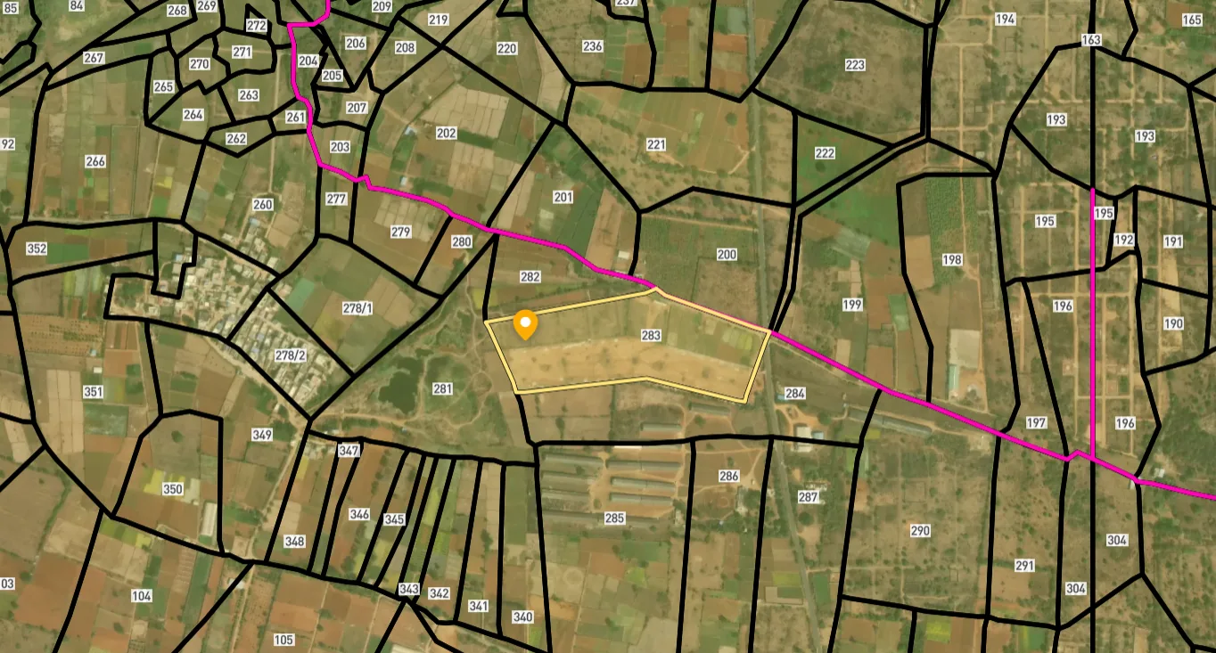
Access Survey NumbersAccess Tamil Nadu
Survey Numbers
Boundaries and numbers come from published state cadastral records. See all map layers.
Looking to sell your land in Tamil Nadu?

Browse all verified lands & plots in Tamil Nadu
More Layers in Tamil Nadu
See all 16 layers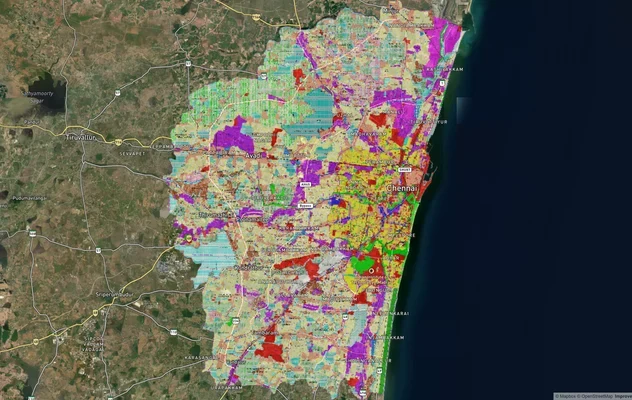
Chennai CMDA Masterplan: Zone Check and Land Use Guide
View Chennai Masterplan as a live map overlay – check any plot's land use zone for free on 1acre.in. Chennai CMDA master...
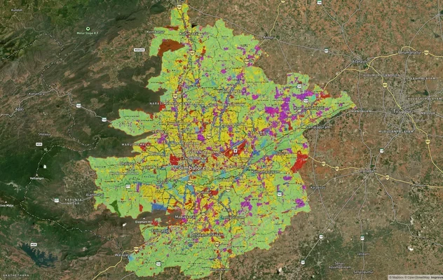
Coimbatore Masterplan 2041: LPA Zone Check and Land Use Guide
View Coimbatore Masterplan as a live map overlay – check any plot's land use zone for free on 1acre.in. Coimbatore maste...
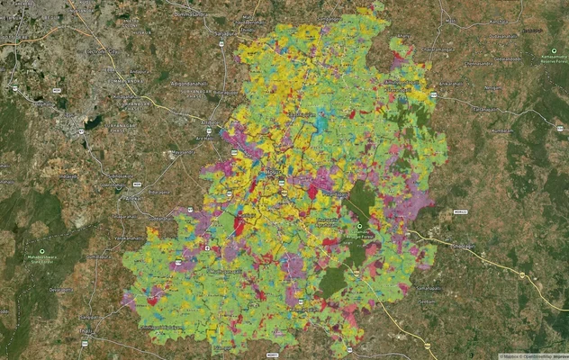
Hosur Masterplan: Zone Check and Land Use Guide
View Hosur Masterplan as a live map overlay – check any plot's land use zone for free on 1acre.in. Hosur masterplan zone...
More Layers in Tamil Nadu
Chennai CMDA Masterplan: Zone Check and Land Use Guide
View Chennai Masterplan as a live map overlay – check any plot's land use zone for free on 1acre.in. Chennai CMDA master...
Coimbatore Masterplan 2041: LPA Zone Check and Land Use Guide
View Coimbatore Masterplan as a live map overlay – check any plot's land use zone for free on 1acre.in. Coimbatore maste...
Hosur Masterplan: Zone Check and Land Use Guide
View Hosur Masterplan as a live map overlay – check any plot's land use zone for free on 1acre.in. Hosur masterplan zone...
Frequently Asked Questions
NHAI is building it as the 116.1 km NH-716B greenfield corridor under Bharatmala Pariyojana Phase 1. The DPR was prepared by Louis Berger Group Inc under Lot-3 Package-1, at a cost of Rs 3,197.56 crore.
Total length is 116.1 km, with a 10.45 km Chennai Peripheral Ring Road overlap raising it to 126.55 km. The 70m Right of Way NHAI specification is fixed across the corridor, with a 100 kmph design speed.
The Tiruvallur land acquisition stretch covers Pallipattu, Nagari, Nagalapuram, Uthukkottai, Ponnavakkam, Mambakkam, Tharatchi, Paruthimenikkuppam, Sengattakulam, Vadamadurai, Jayapuram, Maduravasal and Kannigaipair before reaching Thatchur near Ponneri and Ennore.
Yes. The corridor terminates at Kannigaipair, joining the 133 km CPRR built by TNRDC. This routes Bengaluru-bound freight directly to Kamarajar Port and Kattupalli Port without entering Chennai city limits, raising land value at confirmed interchanges.
NHAI requires 360.5 hectares in Tamil Nadu and 525 hectares in Andhra Pradesh, totalling 885.5 hectares. Compensation is paid under the National Highways Act 1956 once 3D notifications are gazetted in the Tiruvallur district records.
No, not without zone verification. Most Tiruvallur parcels remain classified Agricultural in the CMDA Second Master Plan 2026 and need Change of Land Use approval before any layout, plotting or commercial development becomes legally permissible.
Yes. The expressway is split into 4 civil packages under Hybrid Annuity Mode Bharatmala. KCC Buildcon received the Letter of Award for Package 1, while Package 4 covering Pondavakkam to Kannigaipair was retendered before final award by NHAI.
Yes. The alignment starts at Keenatampalli at km 152 of the 262 km Bangalore-Chennai Expressway, making it the eastern feeder that channels Bengaluru cargo through Tiruvallur straight into the Chennai Peripheral Ring Road interchange and onward to North Chennai ports.