Hosur Masterplan: Zone Check and Land Use Guide
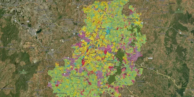
Hosur Masterplan Preview
Try the Hosur Masterplan on the map
Sign in once and explore the layer for a full day.
- No card details needed
- Find nearby verified lands for sale
Overview
The Hosur masterplan zone land framework is governed by the Hosur Development Plan 2046, brought into operation by G.O.(Ms).No.08 dated 20 January 2025 and published in the Tamil Nadu Gazette on 22 January 2025. Administered by the Directorate of Town and Country Planning (DTCP) under the Tamil Nadu Town and Country Planning Act, 1971, the plan covers 130 villages, the Hosur Municipal Corporation, and Kelamangalam Town Panchayat across 734 sq km. The Hosur New Town Development Authority (HNTDA) operates alongside DTCP within this area. This page covers which approval actually protects your plot, how to verify it, and where the masterplan zone is pulling land value next.
Panchayat Approval in Hosur Means Nothing: How Buyers Are Getting Trapped
The single most damaging misconception in the Hosur market is that a panchayat president's approval is equivalent to DTCP or HNTDA sanction. It is not. DTCP Circular No.9862/10BA1 dated 14 June 2010 is unambiguous: panchayats have no power to sanction plot layouts. Only DTCP, and within Hosur's boundary, HNTDA, can approve a layout under the Tamil Nadu Town and Country Planning Act, 1971. Dozens of buyers along Bagalur Road have bought into this trap; In October 2016, the Madras High Court banned registration of unapproved plot sales. The ban was lifted on 12 May 2017 after Tamil Nadu notified the Regularisation of Unapproved Layouts and Plots Rules, 2017. Today, the operative framework is Section 22-A of the Registration Act, 1908 read with the 2017 regularisation rules — registration of unapproved layouts is restricted, not banned outright.
The table below shows the three approval categories operating in Hosur and what each one actually delivers.
Approval Type
Issuing Authority
Bank Loans Available?
Legal Building Permission?
Risk Level
DTCP approved layout
Directorate of Town and Country Planning, Tamil Nadu
Yes
Yes, via local body
Low
HNTDA approved layout
Hosur New Town Development Authority (within HNTDA limits)
Most banks, verify with lender
Yes, if infrastructure delivered
Low to Medium
Panchayat approval only
Village panchayat president
No
No
High
A DTCP approved layout Hosur carries state-level sanction and is the benchmark against which banks, courts, and future buyers will judge your title. Layouts sold as "HNTDA approved" require additional verification: check that the infrastructure promised (roads, drainage, open space) has actually been handed over, not just committed on paper. If a seller cannot produce a DTCP approval number or a verifiable HNTDA sanction, treat the layout as unverified. The sub-registrar will register the sale deed; that registration does not confer planning permission or immunity from demolition.
Hosur's Expansion Corridors: South and East of Mathigiri Circle
Old Hosur and the Bagalur road stretch are now densely built and priced accordingly. The Hosur Development Plan 2046's growth logic runs in two directions from Mathigiri Circle: south toward Kelamangalam, and east toward Kamandoddi and Shoolagiri. These corridors underpin the plan's expansion because Hosur cannot expand west or north; the Karnataka border closes both those options.
The table below maps active corridors against their masterplan context and the infrastructure driving each one.
Corridor
Masterplan Context
Growth Driver
Known Risk
Bagalur Road
Established residential belt in HNTDA zone
Proximity to Electronic City (22 km); older industrial base
High saturation; many pre-HNTDA panchayat layouts
Mathigiri Circle to Kelamangalam
New Town expansion zone southward
HNTDA core growth axis; Tata Electronics investment cluster
Agricultural land conversion required for most parcels
Mathigiri to Kamandoddi (east)
New Town expansion eastward
Direct STRR alignment; NHAI (National Highways Authority of India) NH-948A passes through Hosur outskirts
STRR Bharatmala phases suspended post-CAG report; timeline uncertain
Shoolagiri
Proposed satellite town under HNTDA plan
Proposed international airport site
Purely speculative without airport notification
The most misunderstood corridor is the STRR (Suburban Ring Road) land corridor around Hosur. The 80 km Dobaspete-Hoskote section (NH-648, part of the broader STRR programme) opened on 11 March 2024, but the Hosur-side section is under construction; the western section saw Sep 2023 tenders worth ₹4,750 cr cancelled in Jan 2024 following the 2023 CAG (Comptroller and Auditor General) report on Bharatmala cost overruns. New tenders have been re-invited; completion timeline is uncertain. Sellers are pricing in a completed STRR; your due diligence should confirm the actual alignment and construction status for the specific SF number before paying any premium.
Was this layer helpful?
Anything wrong, outdated, or missing we want to hear it.
For Land Owners & Agents
Looking to sell your land in Tamil Nadu?
I want to sell my land in Tamil Nadu
10:32
Plz share your Land's location - We will list it on 1acre map, for Free.
10:32

For Land Buyers
Browse all verified lands & plots in Tamil Nadu
Every listing goes through our Preliminary Verification Process.
More Layers in Tamil Nadu
See all 14 layers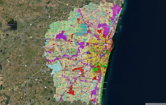
Chennai CMDA Masterplan: Zone Check and Land Use Guide
View Chennai Masterplan as a live map overlay – check any plot's land use zone for free on 1acre.in. Chennai CMDA master...
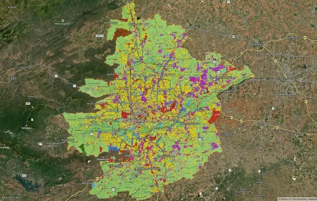
Coimbatore Masterplan 2041: LPA Zone Check and Land Use Guide
View Coimbatore Masterplan as a live map overlay – check any plot's land use zone for free on 1acre.in. Coimbatore maste...
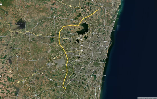
Chennai Outer Ring Road
View the Chennai Outer Ring Road corridor on a live map overlay – check zoning, approvals and acquisition risk free on 1...
More Layers in Tamil Nadu
Chennai CMDA Masterplan: Zone Check and Land Use Guide
View Chennai Masterplan as a live map overlay – check any plot's land use zone for free on 1acre.in. Chennai CMDA master...
Coimbatore Masterplan 2041: LPA Zone Check and Land Use Guide
View Coimbatore Masterplan as a live map overlay – check any plot's land use zone for free on 1acre.in. Coimbatore maste...
Chennai Outer Ring Road
View the Chennai Outer Ring Road corridor on a live map overlay – check zoning, approvals and acquisition risk free on 1...