
Amaravati Outer Ring Road


Amaravati Outer Ring Road Preview
Try the Amaravati Outer Ring Road on the map
एक बार साइन इन करें और पूरे दिन लेयर एक्सप्लोर करें।
- No card details needed
- Find nearby verified lands for sale
Overview
Amaravati Outer Ring Road land buying decisions now depend on a district-by-district Section 3A notification process that is actively unfolding, not a future promise. The ORR is a planned 189.4 to 189.9 kilometre, six-lane, access-controlled greenfield highway encircling Andhra Pradesh's capital region, executed by NHAI under APCRDA's 2050 masterplan and passing through NTR, Krishna, Eluru, Guntur, and Palnadu districts. A first Gazette notification empowering Joint Collectors across these five districts was published in February 2025, and detailed village-level Section 3A notifications for Guntur and Krishna districts followed in December 2025.
Amaravati Outer Ring Road Land Buying: Regulatory Red Flags You Cannot Ignore
The most important fact for any buyer right now is that this project has moved from "planned" to "actively notified," but only in some districts. In February 2025, the Ministry of Road Transport and Highways published a Gazette notification authorising Joint Collectors of NTR, Eluru, Krishna, Guntur, and Palnadu districts as competent authorities under the National Highways Act, 1956, covering the full stretch from kilometre 0 to kilometre 189.9. That was the starting gun, not the finish line.
Detailed, village-level Section 3A notifications specifying actual survey numbers followed for Guntur district on December 8, 2025, and for Krishna district around the same period, spanning a 193-page notification listing villages including Sagguru Amjan, Balliparru, Pedda Avutapalle, and Atukuru.
As of the most recent tracking, the NTR and Vijayawada district gazette had not yet been issued and was described as coming "soon." A plot in a Guntur or Krishna village already has a formal, legally consequential notification attached to it. A comparable plot in an NTR district village currently does not, even though both may sit on the same mapped alignment.
The first red flag is the right-of-way confusion that has already caused real anxiety among affected farmers. A recent gazette notification referenced a land width of 250 metres, alarming landowners who had been told the road would occupy a 140 metre corridor.
Officials clarified that construction will proceed strictly within 140 metres, and that the 250 metre figure in the notification is a precautionary GPS-based buffer used because the statutory Section 3A process has not been completed and detailed field boundary surveys cannot yet be legally finalised.
This distinction matters enormously for anyone near the alignment: a wider precautionary reference in a legal document is not the same as a final acquisition boundary, but until boundaries are formally marked, treating any figure as final is premature in either direction.
The second red flag is the specific acquisition footprint already documented in the Kanchikacherla, Veerulapadu, G Konduru, and Mylavaram mandals, where the project affects 18 villages, with approximately 1,416 hectares spread across 1,798 survey numbers proposed for acquisition.
This is one of the more advanced acquisition zones on the corridor, and any parcel inside these mandals needs to be checked against the actual survey number list, not just the general village name.
The table below sets out where formal notification stands across the corridor's key districts.
District / Mandal Cluster
Notification Status
Named Villages (Sample)
Buyer Implication
Guntur district
Section 3A notified, 8 December 2025
Kaza, Chinnakakani, Pedakurapadu, Tadikonda, Tadepalle, Vaddeswaram
Formal acquisition process active; 21-day objection window applies from notification date
Krishna district
Section 3A notified, December 2025
Sagguru Amjan, Balliparru, Pedda Avutapalle, Atukuru
Formal, 193-page notification covering detailed survey numbers
Kanchikacherla / Veerulapadu / G Konduru / Mylavaram
Notified, width clarification issued February 2026
18 villages, 1,798 survey numbers
Most farmer anxiety documented here; confirm 140m final width applies to your parcel
NTR / Vijayawada district
Not yet notified as of the latest tracking
To be published
Alignment mapped but no legal acquisition process has begun here yet
District / Mandal Cluster
Notification Status
Named Villages (Sample)
Buyer Implication
Guntur district
Section 3A notified, 8 December 2025
Kaza, Chinnakakani, Pedakurapadu, Tadikonda, Tadepalle, Vaddeswaram
Formal acquisition process active; 21-day objection window applies from notification date
Krishna district
Section 3A notified, December 2025
Sagguru Amjan, Balliparru, Pedda Avutapalle, Atukuru
Formal, 193-page notification covering detailed survey numbers
Kanchikacherla / Veerulapadu / G Konduru / Mylavaram
Notified, width clarification issued February 2026
18 villages, 1,798 survey numbers
Most farmer anxiety documented here; confirm 140m final width applies to your parcel
NTR / Vijayawada district
Not yet notified as of the latest tracking
To be published
Alignment mapped but no legal acquisition process has begun here yet
The third red flag is the objection process itself. Once a village receives its Section 3A notification, affected landowners have a limited window, typically 21 days, to inspect land plans at the RDO office and file objections, which must be heard before the Competent Authority proceeds. Compensation is determined later under Section 3G based on market value and other statutory factors. Missing this window does not stop the acquisition; it simply removes your formal opportunity to contest it.
The fourth red flag is that even the notified portions of this project are not yet fully funded and centrally approved as a complete corridor. Recent tracking indicates the full project, now structured across 12 packages at an estimated Rs. 38,000 crore, was still awaiting Union Cabinet approval targeted for March 2026. A district having its Section 3A notification published is a real, binding legal step. It is not the same as the entire 189.9 kilometre corridor having secured final central government funding approval.
Growth Corridors and Micro-Markets Around the Amaravati ORR
The ORR's staggered notification process means different stretches of the corridor carry very different levels of certainty today, and treating the entire 189.9 kilometre ring as equally "confirmed" is the single most common mistake buyers make.
Corridor / Locality
Notification Status
Growth Driver
Known Risk
Guntur district cluster (Kaza, Chinnakakani, Tadepalle, Vaddeswaram)
Formally notified, December 2025
Proximity to Amaravati's core government and administrative zone
Active acquisition process; survey numbers inside the notified list carry legal acquisition exposure, not resale value
Krishna district cluster (Sagguru Amjan, Balliparru, Atukuru)
Formally notified, December 2025
Regional connectivity to the capital region's eastern side
Detailed 193-page notification means precise survey-level verification is essential
Kanchikacherla / Mylavaram belt
Notified, width clarified February 2026
Early, well-documented acquisition zone with clear village-level data
Highest-profile farmer concern zone; confirm the 140m final figure, not the 250m precautionary reference
NTR / Vijayawada district stretch
Not yet notified
Mapped alignment, proximity to Vijayawada's existing urban core
Highest uncertainty on the corridor; no legal acquisition process has started here
Corridor / Locality
Notification Status
Growth Driver
Known Risk
Guntur district cluster (Kaza, Chinnakakani, Tadepalle, Vaddeswaram)
Formally notified, December 2025
Proximity to Amaravati's core government and administrative zone
Active acquisition process; survey numbers inside the notified list carry legal acquisition exposure, not resale value
Krishna district cluster (Sagguru Amjan, Balliparru, Atukuru)
Formally notified, December 2025
Regional connectivity to the capital region's eastern side
Detailed 193-page notification means precise survey-level verification is essential
Kanchikacherla / Mylavaram belt
Notified, width clarified February 2026
Early, well-documented acquisition zone with clear village-level data
Highest-profile farmer concern zone; confirm the 140m final figure, not the 250m precautionary reference
NTR / Vijayawada district stretch
Not yet notified
Mapped alignment, proximity to Vijayawada's existing urban core
Highest uncertainty on the corridor; no legal acquisition process has started here
The NTR and Vijayawada district stretch is the most misunderstood segment right now, precisely because it sits so close to an already-developed urban area. Buyers see Vijayawada's existing infrastructure and assume the ORR's presence there is just as legally advanced as the notified stretches in Guntur or Krishna. It is not. Until a Section 3A notification is published for this district specifically, any land pitch built around "confirmed ORR frontage" in this stretch is describing the mapped alignment, not a legally initiated acquisition process. The gap between a mapped route and a gazette-notified route is exactly the gap a careful buyer needs to check before paying a premium.
The Kanchikacherla to Mylavaram belt, by contrast, offers the clearest picture of what a well-documented acquisition zone looks like on this project, precisely because the width confusion there forced officials to issue a public clarification. That transparency is actually useful to a buyer: it means the 140-metre final width, the 18 affected villages, and the 1,798 survey numbers are now publicly confirmed rather than speculative. Land just outside that notified band, in the same mandals, stands to benefit from the road's presence without carrying direct acquisition risk, provided the specific survey number is checked against the published list first.
क्या यह लेयर सहायक थी?
Anything wrong, outdated, or missing we want to hear it.
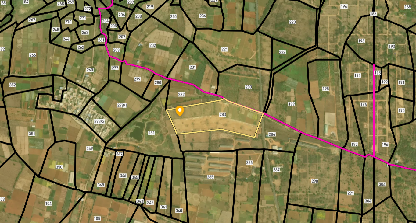
सर्वे नंबर देखेंAndhra Pradesh
के सर्वे नंबर देखें
सीमाएँ और नंबर राज्य के प्रकाशित भू-अभिलेखों से लिए गए हैं। सभी मैप लेयर्स देखें।
Andhra Pradesh में अपनी ज़मीन बेचना चाहते हैं?

Andhra Pradesh में सभी सत्यापित ज़मीन और प्लॉट ब्राउज़ करें
Andhra Pradesh में और लेयर्स
सभी 19 लेयर्स देखें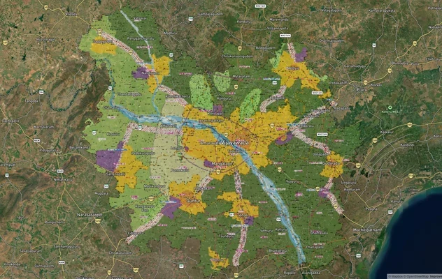
VGTM मास्टरप्लान: विजयवाड़ा-गुंटूर ज़ोन चेक और लैंड यूज़ गाइड
VGTM मास्टरप्लान को लाइव मैप ओवरले के रूप में देखें – 1acre.in पर किसी भी प्लॉट का लैंड यूज़ ज़ोन मुफ़्त में चेक करें. V...
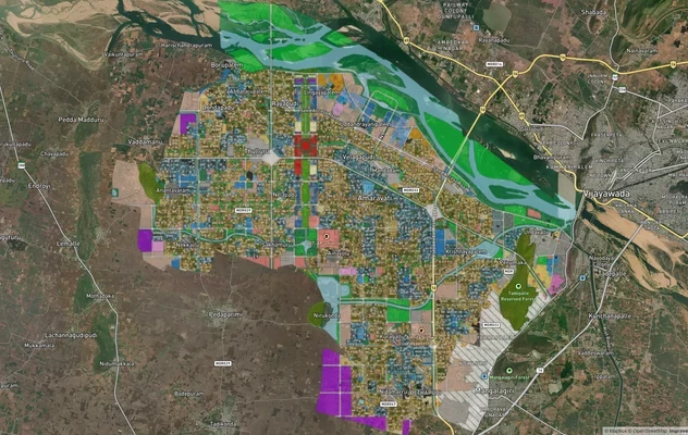
अमरावती APCRDA मास्टरप्लान 2050: ज़ोन चेक और लैंड यूज़ गाइड
अमरावती मास्टरप्लान को लाइव मैप ओवरले के रूप में देखें – 1acre.in पर किसी भी प्लॉट का लैंड यूज़ ज़ोन मुफ़्त में चेक करें...
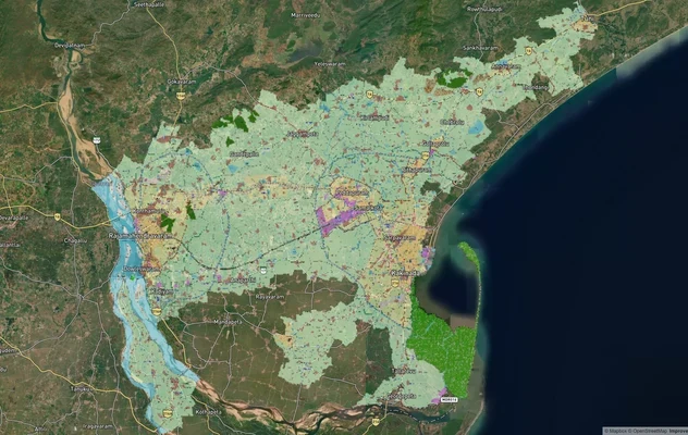
काकीनाडा मास्टरप्लान: ज़ोन चेक और लैंड यूज़ गाइड
काकीनाडा मास्टरप्लान को लाइव मैप ओवरले के रूप में देखें – 1acre.in पर किसी भी प्लॉट का लैंड यूज़ ज़ोन मुफ़्त में चेक करे...
Andhra Pradesh में और लेयर्स
VGTM मास्टरप्लान: विजयवाड़ा-गुंटूर ज़ोन चेक और लैंड यूज़ गाइड
VGTM मास्टरप्लान को लाइव मैप ओवरले के रूप में देखें – 1acre.in पर किसी भी प्लॉट का लैंड यूज़ ज़ोन मुफ़्त में चेक करें. V...
अमरावती APCRDA मास्टरप्लान 2050: ज़ोन चेक और लैंड यूज़ गाइड
अमरावती मास्टरप्लान को लाइव मैप ओवरले के रूप में देखें – 1acre.in पर किसी भी प्लॉट का लैंड यूज़ ज़ोन मुफ़्त में चेक करें...
काकीनाडा मास्टरप्लान: ज़ोन चेक और लैंड यूज़ गाइड
काकीनाडा मास्टरप्लान को लाइव मैप ओवरले के रूप में देखें – 1acre.in पर किसी भी प्लॉट का लैंड यूज़ ज़ोन मुफ़्त में चेक करे...