
Kadapa-Renigunta Highway


Kadapa Renigunta Highway Preview
Try the Kadapa-Renigunta Highway on the map
Sign in once and explore the layer for a full day.
- No card details needed
- Find nearby verified lands for sale
Overview
Kadapa Renigunta Highway land acquisition covers a roughly 120 km, four-lane corridor connecting YSR Kadapa district to Renigunta near Tirupati, developed by NHAI as part of the Solapur-Chennai Economic Corridor under the Gati Shakti programme. Kadapa-Renigunta Highway is a live on 1acre. The project needed rare national wildlife board clearance because its alignment cuts through two eco-sensitive zones, and land acquisition is still underway across two construction packages. This page covers the forest and wildlife clearance history, and where the corridor's real-estate upside is expected to concentrate.
Wildlife Clearances and the Two-Package Acquisition Zone
Unlike a standard highway widening, this project needed sign-off from the National Board for Wildlife's standing committee before construction could proceed, because its alignment diverts forest and non-forest land from the Sri Venkateswara Wildlife Sanctuary's Eco-Sensitive Zone and the Sri Penusila Lakshmi Narasimha wildlife sanctuary's ESZ. The approval covers over 133 hectares total, including roughly 77.65 hectares of forest land across both sanctuaries, and it came bundled with a separate condition: creation of a designated tiger corridor for Andhra Pradesh.
Wildlife Clearances and the Two-Package Acquisition Zone
Package
Route Covered
Land Requirement
Package 1
Kadapa, Bakarapet, Ontimitta, Pedapalle, Nandalur, Rajampet, Orampadu
Part of the 1,066-acre total acquisition
Package 2
Pullampet, Owkuru Palli, Ayyapureddi Palli, Kodur, Shettigunta, Ballupalle, Mamandur to Renigunta
Remainder of the 1,066-acre total acquisition
Package
Route Covered
Land Requirement
Package 1
Kadapa, Bakarapet, Ontimitta, Pedapalle, Nandalur, Rajampet, Orampadu
Part of the 1,066-acre total acquisition
Package 2
Pullampet, Owkuru Palli, Ayyapureddi Palli, Kodur, Shettigunta, Ballupalle, Mamandur to Renigunta
Remainder of the 1,066-acre total acquisition
Stage-I forest clearance for the project was granted in December 2023, but the wildlife clearance component took until mid-2025 to clear the NBWL standing committee, showing how long an environmentally sensitive alignment can take even after forest clearance is secured. Land acquisition itself is entrusted to the Andhra Pradesh state government, and it remains under process as of the latest reporting, with construction expected to begin only once acquisition completes. Before treating any plot along this corridor as clear for a transaction, confirm the survey number against the official Meebhoomi land records portal, cross-check its ROR-1B and pattadar passbook details, and separately verify whether it falls within the notified forest/ESZ diversion area, since that status determines whether the land is even part of the acquisition process or a genuinely private holding outside it.
Where the Corridor's Growth Potential Concentrates
The highway sits inside the larger Solapur-Chennai Economic Corridor, and its stated purpose is to link Kadapa and Annamayya districts to Renigunta airport, Tirupati, and two major ports, Krishnapatnam and Chennai, for freight movement.
Where the Corridor's Growth Potential Concentrates
Node
Growth Driver
Known Risk
Rajampet / Nandalur stretch
Package 1 towns along the primary agricultural belt
Sits directly inside the active acquisition corridor
Kodur / Mamandur stretch
Package 2 towns closer to Renigunta and Tirupati
Proximity to Sri Venkateswara sanctuary ESZ adds an environmental-clearance layer
Renigunta terminus
Direct link to Renigunta airport and Tirupati/Tirumala pilgrim traffic
High-value node once operational; construction timeline still tied to acquisition completion
Krishnapatnam Port corridor extension
Broader freight link for iron ore, granite and agricultural exports
Extension beyond the core Kadapa-Renigunta stretch is a separate, longer-term alignment
Node
Growth Driver
Known Risk
Rajampet / Nandalur stretch
Package 1 towns along the primary agricultural belt
Sits directly inside the active acquisition corridor
Kodur / Mamandur stretch
Package 2 towns closer to Renigunta and Tirupati
Proximity to Sri Venkateswara sanctuary ESZ adds an environmental-clearance layer
Renigunta terminus
Direct link to Renigunta airport and Tirupati/Tirumala pilgrim traffic
High-value node once operational; construction timeline still tied to acquisition completion
Krishnapatnam Port corridor extension
Broader freight link for iron ore, granite and agricultural exports
Extension beyond the core Kadapa-Renigunta stretch is a separate, longer-term alignment
The highway's real appeal is less about any single town and more about what it connects: interior Rayalaseema agricultural land to a working port and a major pilgrimage-driven air and rail hub. Industry commentary expects industrial parks, warehousing and logistics hubs, and improved land values along the corridor once construction begins, but that begins only after acquisition wraps up, and acquisition itself has already taken years to reach this stage given the forest and wildlife approvals required. Land just outside the notified corridor, particularly near the Rajampet and Kodur town centres, is better positioned to capture near-term appreciation than land still inside the active 1,066-acre acquisition footprint.
Was this layer helpful?
Anything wrong, outdated, or missing we want to hear it.

Access Survey NumbersAccess Andhra Pradesh
Survey Numbers
Boundaries and numbers come from published state cadastral records. See all map layers.
Looking to sell your land in Andhra Pradesh?

Browse all verified lands & plots in Andhra Pradesh
More Layers in Andhra Pradesh
See all 19 layers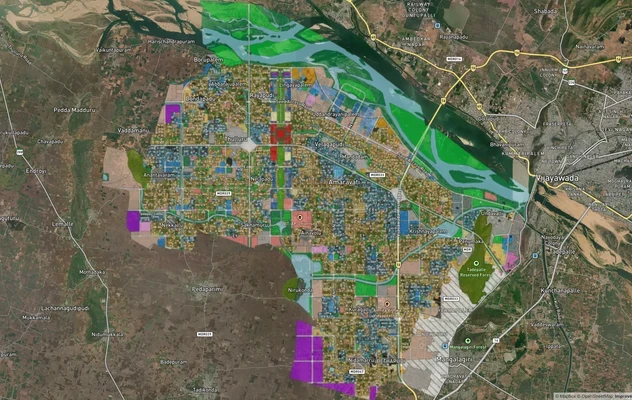
Amaravati APCRDA Masterplan 2050: Zone Check and Land Use Guide
View Amaravati Masterplan as a live map overlay – check any plot's land use zone for free on 1acre.in. APCRDA masterplan...
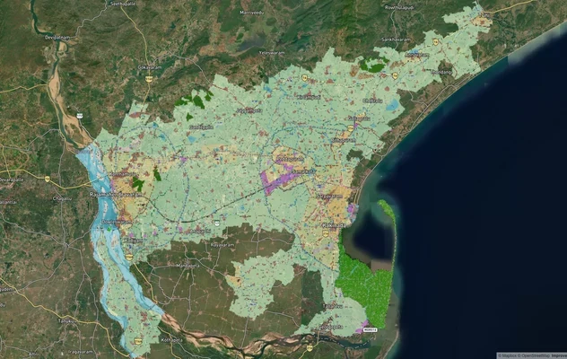
Kakinada Masterplan: Zone Check and Land Use Guide
View Kakinada Masterplan as a live map overlay – check any plot's land use zone for free on 1acre.in. Kakinada masterpla...
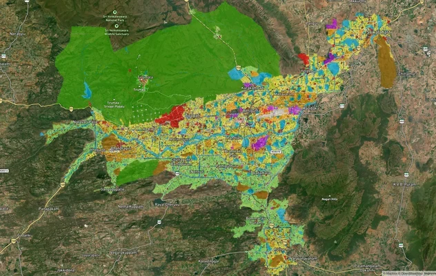
Tirupati TUDA Masterplan: Zone Check and Land Use Guide
View Tirupati Masterplan as a live map overlay – check any plot's land use zone for free on 1acre.in. Tirupati TUDA mast...
More Layers in Andhra Pradesh
Amaravati APCRDA Masterplan 2050: Zone Check and Land Use Guide
View Amaravati Masterplan as a live map overlay – check any plot's land use zone for free on 1acre.in. APCRDA masterplan...
Kakinada Masterplan: Zone Check and Land Use Guide
View Kakinada Masterplan as a live map overlay – check any plot's land use zone for free on 1acre.in. Kakinada masterpla...
Tirupati TUDA Masterplan: Zone Check and Land Use Guide
View Tirupati Masterplan as a live map overlay – check any plot's land use zone for free on 1acre.in. Tirupati TUDA mast...