Kakinada Masterplan: Zone Check and Land Use Guide
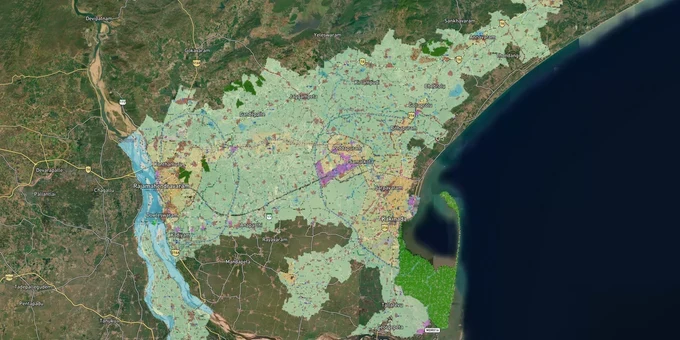
Kakinada Masterplan Preview
Try the Kakinada Masterplan on the map
Sign in once and explore the layer for a full day.
- No card details needed
- Find nearby verified lands for sale
Overview
The Kakinada masterplan zone land framework is governed by the GUDA Masterplan 2050, administered today by the Kakinada Urban Development Authority (KAUDA), previously Godavari Urban Development Authority (GUDA). Implemented in 2019, the plan runs to 2050 and covers a jurisdiction of 1,236.42 sq km across 15 mandals with 172 villages (per the G.O. bifurcating GUDA into KAUDA + RUDA; verify current extent with KAUDA). KAUDA classifies land into residential, commercial, industrial, and green zones, and the zone your survey number falls under determines what you can build, convert, and legally sell. This page covers the specific fraud risks, growth corridors, and verification tools that matter for Kakinada land buyers.
Where Land Value Is Moving: SEZ Corridor, Samalkot, and Thondangi
Two distinct growth corridors are pulling Kakinada land investment in different directions. The first is the PCPIR industrial belt, a 603.6 sq km Petroleum, Chemical and Petrochemical Investment Region spanning the Visakhapatnam-Kakinada coast, which has already attracted multi-crore investments from ONGC, HPCL, and GAIL. Land in Thondangi mandal, directly adjacent to Kakinada SEZ (1,648 hectares), sits inside this active industrial demand zone. The second corridor is the Samalkot-Peddapuram axis: two mandals with established industrial estates, direct rail connectivity to Kakinada, and a proposed road linkage to the Rajahmundry Outer Ring Road, announced in November 2025 to connect Rajahmundry and Kakinada with an improved corridor to the ports.
The table below maps the key corridors against their zone context and known risk factors.
Corridor / Locality
Zone Context
Growth Driver
Known Risk
Thondangi mandal
Industrial/Petroleum, Chemicals and Petrochemical Investment Region (PCPIR) zone
Kakinada SEZ expansion, Kakinada Gateway Port Limited (KGPL) port rail linkage
Environmental clearance dependencies
Samalkot
Mixed residential-industrial
Industrial estate, double railway line
Older layouts with pre-KAUDA approvals
Peddapuram
Residential-commercial fringe
Revenue division HQ, NH216 access
Gram panchayat plots without KAUDA sanction
Ramarayapeta, Gandhi Nagar (city core)
Residential
Established infrastructure, Software Technology Parks of India (STPI) IT presence
Limited supply, higher entry price
The most misunderstood corridor is Thondangi. Buyers often see low agricultural land prices and assume the industrial zone designation means immediate development potential. Zone classification gives the right to develop; it does not guarantee infrastructure arrival on any timeline. Confirm KAUDA zone status for the specific survey number before acting on corridor assumptions.
.Frequently Asked Questions
What is the GUDA Masterplan 2050 for Kakinada?Think of it as the government's blueprint for how Kakinada should grow over the next few decades. Every piece of land in the region has been assigned a zone, and that zone decides what you can and cannot do with your plot until 2050.
Can I build on a gram panchayat-approved plot inside the Kakinada masterplan zone?This is where a lot of buyers get burned. A gram panchayat approval sounds official, but KAUDA does not honour it. You could register the land, build a house, and still face a demolition notice. Always insist on a KAUDA or DTCP sanction number before paying anything.
How do I check whether my plot is in a KAUDA-approved layout?Before you visit the site or talk price, spend ten minutes on the KAUDA website checking the approved layouts list. If your survey number is not there, call the KAUDA planning wing and ask directly. That one phone call can save you years of legal trouble.
Which corridors have the highest land demand in Kakinada right now?Two areas are seeing real traction. The Thondangi belt near the Kakinada SEZ is attracting industrial buyers because of port and petrochemical activity. The Samalkot-Peddapuram stretch is popular with investors who want rail connectivity and established industrial estates nearby.
Does LRS regularisation make an unauthorised plot fully safe to buy?It helps, but it does not give you a clean chit. The LRS scheme regularised individual plots for some applicants, but thousands of unauthorised layouts are still unresolved. You may be able to register the land but still face trouble when you apply for a building permission later.
Does KAUDA also cover Rajahmundry?No, and this confuses a lot of buyers. GUDA was originally one body covering the entire Godavari region, but it was split into two. KAUDA now handles Kakinada district and RUDA handles Rajahmundry. If your land is near Rajahmundry, KAUDA rules simply do not apply.
What documents must I verify before buying land in KAUDA jurisdiction?Do not rely on just the sale deed. Check the Adangal or passbook to confirm ownership and land use. Ask for the KAUDA or DTCP layout sanction number. Trace the sale deed chain back at least two owners. And if your survey number is on KAUDA's flagged list, visit their planning wing in person before you commit.
Was this layer helpful?
Anything wrong, outdated, or missing we want to hear it.
For Land Owners & Agents
Looking to sell your land in Andhra Pradesh?
I want to sell my land in Amaravati
10:32
Plz share your Land's location - We will list it on 1acre map, for Free.
10:32

For Land Buyers
Browse all verified lands & plots in Andhra Pradesh
Every listing goes through our Preliminary Verification Process.
More Layers in Andhra Pradesh
See all 17 layers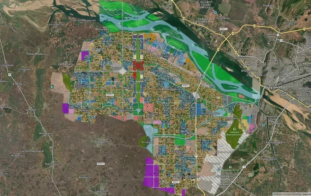
Amaravati APCRDA Masterplan 2050: Zone Check and Land Use Guide
View Amaravati Masterplan as a live map overlay – check any plot's land use zone for free on 1acre.in. APCRDA masterplan...
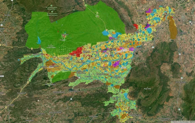
Tirupati TUDA Masterplan: Zone Check and Land Use Guide
View Tirupati Masterplan as a live map overlay – check any plot's land use zone for free on 1acre.in. Tirupati TUDA mast...
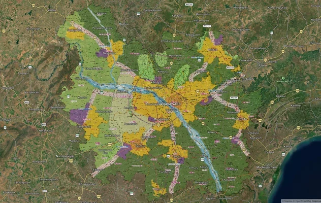
VGTM Masterplan: Vijayawada-Guntur Zone Check and Land Use Guide
View VGTM Masterplan as a live map overlay – check any plot's land use zone for free on 1acre.in. VGTM masterplan zone l...
More Layers in Andhra Pradesh
Amaravati APCRDA Masterplan 2050: Zone Check and Land Use Guide
View Amaravati Masterplan as a live map overlay – check any plot's land use zone for free on 1acre.in. APCRDA masterplan...
Tirupati TUDA Masterplan: Zone Check and Land Use Guide
View Tirupati Masterplan as a live map overlay – check any plot's land use zone for free on 1acre.in. Tirupati TUDA mast...
VGTM Masterplan: Vijayawada-Guntur Zone Check and Land Use Guide
View VGTM Masterplan as a live map overlay – check any plot's land use zone for free on 1acre.in. VGTM masterplan zone l...