Vijayawada Metro LRT
Overview
The Vijayawada Metro is a Light Rail Transit system approved by the Government of India in December 2024, covering 38.4 km in two Phase 1 corridors: Gannavaram to PNBS (Pandit Nehru Bus Station) (25.9 km, 22 stations) and PNBS to Penamaluru (12.76 km, 12 stations). Total Phase 1 cost is Rs 11,009 crore. Land acquisition orders for 91 acres across NTR and Krishna districts were issued on January 30, 2025. Civil construction bids worth Rs 4,150 crore were invited in July 2025. This Premium layer on 1acre maps the approved corridor alignment so buyers can check station proximity before purchasing near the route.
French consultancy firm SYSTRA has been appointed as the technical advisor for the project.
The Asian Infrastructure Investment Bank (AIIB) has reportedly shown interest in financing a portion of the project cost beyond the 50:50 Centre-State share.
The civil contract is on EPC (Engineering, Procurement, and Construction) basis with a 30-month overall completion period.
Vijayawada Metro Land Acquisition: 91 Acres, Unfinished Station Names and the Political Risk Buyers Must Price In
The Vijayawada Metro's land requirement is 91 acres for depots and station sites, a much smaller footprint than a greenfield expressway. This is an elevated LRT (Light Rail Transit), not a wide acquisition corridor. The risk for land buyers is not compulsory acquisition of their plot; it is the project's demonstrated history of being shelved and the incomplete station-name list that makes corridor pricing unreliable today.
Land acquisition orders were formally issued to the Collector of NTR district on January 30, 2025, instructing submission of details for legal notifications. The total land acquisition budget is Rs 1,152 crore for 91 acres. Formal gazette notification has not yet been published. APMRCL invited civil construction bids worth Rs 4,150 crore in July 2025, the clearest signal yet that this project is in active execution.
The table below shows Phase 1 corridor details and the current status of each:
Corridor
Length
Stations
Structure
Status
Gannavaram to PNBS
25.9 km
22
Elevated; double-deck at Benz Circle
Bids invited July 2025
PNBS to Penamaluru
12.76 km
12
Fully elevated
Bids invited July 2025
Corridor
Length
Stations
Structure
Status
Gannavaram to PNBS
25.9 km
22
Elevated; double-deck at Benz Circle
Bids invited July 2025
PNBS to Penamaluru
12.76 km
12
Fully elevated
Bids invited July 2025
Only 13 of the 22 station names on the Gannavaram-PNBS corridor have been officially identified. Buying a plot priced on "metro-adjacent" valuation near an unconfirmed station location is a speculative position. The project was scrapped by the YSRCP government in 2019 and revived only after TDP returned to power in 2024; that reversal took five years and reset all progress. Any land investment near the Vijayawada Metro corridor must account for that documented political risk, even though current momentum is stronger than at any prior point in the project's history.
Was this layer helpful?
Anything wrong, outdated, or missing we want to hear it.
For Land Owners & Agents
Looking to sell your land in Andhra Pradesh?
I want to sell my land in Amaravati
10:32
Plz share your Land's location - We will list it on 1acre map, for Free.
10:32

For Land Buyers
Browse all verified lands & plots in Andhra Pradesh
Every listing goes through our Preliminary Verification Process.
More Layers in Andhra Pradesh
See all 17 layers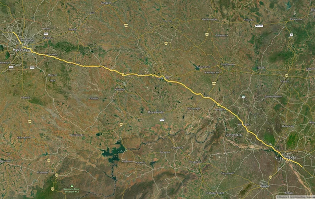
Vijayawada Highway - Hyd-Vijayawada, NH-65
View the Vijayawada Highway - Hyd-Vijayawada, NH-65 corridor on a live map overlay – check zoning, approvals and acquisi...
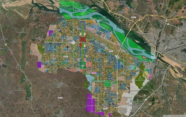
Amaravati APCRDA Masterplan 2050: Zone Check and Land Use Guide
View Amaravati Masterplan as a live map overlay – check any plot's land use zone for free on 1acre.in. APCRDA masterplan...
Kakinada Masterplan: Zone Check and Land Use Guide
View Kakinada Masterplan as a live map overlay – check any plot's land use zone for free on 1acre.in. Kakinada masterpla...
More Layers in Andhra Pradesh
Vijayawada Highway - Hyd-Vijayawada, NH-65
View the Vijayawada Highway - Hyd-Vijayawada, NH-65 corridor on a live map overlay – check zoning, approvals and acquisi...
Amaravati APCRDA Masterplan 2050: Zone Check and Land Use Guide
View Amaravati Masterplan as a live map overlay – check any plot's land use zone for free on 1acre.in. APCRDA masterplan...
Kakinada Masterplan: Zone Check and Land Use Guide
View Kakinada Masterplan as a live map overlay – check any plot's land use zone for free on 1acre.in. Kakinada masterpla...