
Nagapattinam-Tuticorin Highway
Overview
The Nagapattinam-Tuticorin Highway land records question sits on a stretch of National Highway 32 that forms part of Tamil Nadu's much longer East Coast Road, tracing the coastline from Nagapattinam down through Ramanathapuram to Thoothukudi, a city still widely known by its older name, Tuticorin, across most of the state. This corridor connects a historic pilgrimage and fishing town in the north to one of India's major port cities in the south, and land anywhere along it is checked through a genuinely different set of documents than most of the other states covered elsewhere in this series. Tamil Nadu's revenue system runs on the Patta, the core ownership record, the Chitta, which shows land classification and extent, the Adangal, which tracks cultivation history, and the Field Measurement Book, which shows the actual surveyed boundary of a specific parcel on the ground. All of these are available free through the state's e-Services portal, which is genuinely convenient, but a free printout is only ever the starting point for verifying a plot along this route, not the finish line a buyer can simply stop at. This guide walks through what these records actually protect a buyer against, and what the highway's own mixed, sometimes uneven progress record means for land value nearby today.
Regulatory Red Flags Along the Nagapattinam-Tuticorin Corridor
Start with the two documents that hold genuinely different pieces of a property's history, because relying on just one of them is probably the most common mistake buyers make anywhere in Tamil Nadu. The Patta and Chitta, along with the Adangal and the Field Measurement Book, all come from the Revenue Department's e-Services portal, and together they tell you who the state currently recognises as the owner, how the land is officially classified, and what the parcel actually measures on the ground rather than what a seller claims it measures. A completely separate system, the Encumbrance Certificate, known locally as the villangam certificate, comes instead from the Registration Department's TNREGINET portal, and this is the document that actually lists every transaction registered against the property, sales, mortgages, gifts, and any legal attachment, over whatever period a buyer chooses to request. A Patta showing a perfectly clean owner tells you nothing whatsoever about a mortgage quietly registered against that same land only last year. Only the Encumbrance Certificate will ever show that kind of history. Treat these two systems as two separate halves of one single check, never as substitutes for one another, and pull both before finalising any purchase anywhere near this highway.
The single most important verification specific to Tamil Nadu, and one that catches out buyers regularly along coastal and semi-rural highway corridors just like this one, is confirming that the land in question is not Poramboke. This term refers to government-owned communal or wasteland, the kind of land legally set aside for public use, grazing, water bodies, or shared village purposes, and it can never legally be sold to a private buyer no matter how convincing the paperwork a seller happens to produce looks on the surface. Fraudulent sales of Poramboke land dressed up as ordinary private plots are a well-documented pattern across Tamil Nadu, common enough that the e-Services portal specifically offers a dedicated "Verify Poramboke Land" tool for exactly this reason. Before buying anywhere along this particular stretch, run that check independently yourself, rather than simply trusting a seller's verbal assurance that the land is privately held and always has been. A highway corridor drawing fresh buyer interest, as this one increasingly is, happens to be precisely the kind of setting where this specific fraud shows up most often, since rising demand tends to move faster than most buyers' patience for pulling a full paper trail.
Beyond outright ownership fraud, this corridor also runs close to genuinely sensitive coastal ecology for a meaningful stretch of its overall length. The waters off Ramanathapuram and Thoothukudi form part of the Gulf of Mannar, home to India's first Marine Biosphere Reserve, and land near this particular shoreline can fall under Coastal Regulation Zone restrictions layered on top of the ordinary revenue checks already described above. A parcel's Patta and Chitta can look entirely clean on paper while the land itself still sits inside a protected coastal setback that limits or bars construction outright, regardless of what the revenue record technically shows about ownership. Anyone buying land near the coastal stretches of this highway, rather than further inland where these restrictions do not generally apply, should confirm CRZ status specifically and separately, rather than assuming that a clear revenue record alone settles the entirely different question of what can actually be built there.
Regulatory Red Flags Along the Nagapattinam-Tuticorin Corridor
Land Record Term
What It Proves
Source
Blocks Registration Without It?
Patta / Chitta
Current recorded owner and land classification
Revenue Department (e-Services)
Yes
Adangal
Cultivation and crop-use history
Revenue Department (e-Services)
Not directly, but confirms possession consistency
Field Measurement Book (FMB)
Surveyed physical boundary of the parcel
Revenue Department (e-Services)
Not directly, but essential for confirming extent
Encumbrance Certificate (villangam)
Every registered transaction against the property
Registration Department (TNREGINET)
Yes
Poramboke verification
Confirms the land is not government communal land
Revenue Department (e-Services)
Yes, such land cannot be legally sold
Land Record Term
What It Proves
Source
Blocks Registration Without It?
Patta / Chitta
Current recorded owner and land classification
Revenue Department (e-Services)
Yes
Adangal
Cultivation and crop-use history
Revenue Department (e-Services)
Not directly, but confirms possession consistency
Field Measurement Book (FMB)
Surveyed physical boundary of the parcel
Revenue Department (e-Services)
Not directly, but essential for confirming extent
Encumbrance Certificate (villangam)
Every registered transaction against the property
Registration Department (TNREGINET)
Yes
Poramboke verification
Confirms the land is not government communal land
Revenue Department (e-Services)
Yes, such land cannot be legally sold
A buyer who genuinely pulls all five of these documents, rather than stopping short at a single Patta printout and calling it a day, has covered almost every serious risk this specific stretch of Tamil Nadu presents, running from outright ownership fraud all the way through to a coastal restriction that a plain revenue record would never reveal on its own, no matter how carefully you read it.
Growth Corridors Along the Nagapattinam-Tuticorin Route
This corridor's growth story comes with a genuinely mixed real-world track record, and that record is worth understanding honestly before treating any part of it as a settled, sure bet. The wider Chennai-Nagapattinam widening project, of which this stretch forms the southern continuation, covers 308.6 kilometres at a cumulative cost of roughly 11,687.6 crore rupees, and as of June 2025 only about 51 percent of that total length had actually been completed on the ground. The specific Sattanathapuram-Nagapattinam segment, budgeted at nearly 2,900 crore rupees on its own, had reached just 65 percent completion by that point, with the Union Minister for Road Transport and Highways attributing the delay directly to local protests demanding additional road-crossing structures, a genuine shortage of pond ash needed for construction, and pending approvals for the borrow areas where construction material is actually sourced from. These are not vague, generic delays of the kind that get quietly blamed on weather or bureaucracy in general. They are specific, documented obstacles that have already stretched this project's timeline well past its original target date.
A more serious incident adds further weight to reading this corridor with genuine caution rather than blind optimism. In April 2026, a portion of a bridge on the Villupuram-Nagapattinam stretch of this same highway network sank without warning, and a subsequent formal investigation attributed the collapse directly to a weak foundation. This happened on the northern end of the broader corridor this highway forms part of, and it stands as a genuine reminder that infrastructure quality along a widening project this large, and this visibly delayed, cannot simply be assumed by anyone weighing land value nearby. Land value near a highway corridor tends to track that corridor's actual, physical reliability over time, not merely its name on a state map or its officially stated target completion year.
At the southern end of this same corridor, Thoothukudi anchors a genuinely different kind of growth story entirely, one built on the city's long-standing status as home to one of India's significant port facilities, handling substantial cargo volumes that support the surrounding region's wider industrial and trading economy regardless of how the highway itself is progressing. Ramanathapuram, sitting roughly between the two, carries its own separate pull as a pilgrimage and coastal town, with Rameswaram nearby continuing to draw steady religious tourism traffic that depends heavily on reasonably reliable road access from both directions at once.
Growth Corridors Along the Nagapattinam-Tuticorin Route
Location
Growth Driver
Known Consideration
Nagapattinam and the Villupuram-Nagapattinam stretch
Part of the larger Chennai-Nagapattinam widening project
A 2026 bridge collapse here was traced to a weak foundation
Sattanathapuram-Nagapattinam segment
Active four-laning under construction
Only 65 percent complete, delayed by protests and material shortages
Ramanathapuram
Pilgrimage and coastal tourism tied to nearby Rameswaram
Confirm CRZ status for any land near the Gulf of Mannar shoreline
Thoothukudi (Tuticorin)
Established major port city anchoring the southern end of the corridor
Land demand here is tied more to the port's own economy than to highway progress alone
Location
Growth Driver
Known Consideration
Nagapattinam and the Villupuram-Nagapattinam stretch
Part of the larger Chennai-Nagapattinam widening project
A 2026 bridge collapse here was traced to a weak foundation
Sattanathapuram-Nagapattinam segment
Active four-laning under construction
Only 65 percent complete, delayed by protests and material shortages
Ramanathapuram
Pilgrimage and coastal tourism tied to nearby Rameswaram
Confirm CRZ status for any land near the Gulf of Mannar shoreline
Thoothukudi (Tuticorin)
Established major port city anchoring the southern end of the corridor
Land demand here is tied more to the port's own economy than to highway progress alone
The clearest way to read this corridor, in the end, is to separate its two ends and judge each on its own merits rather than treating the whole route as a single uniform story. Thoothukudi's growth rests on a real, functioning port economy that does not depend on this highway's own construction schedule finishing anywhere near on time. The stretch further north, closer to Nagapattinam, remains actively under construction, running visibly behind its original targets, and has already produced one serious structural failure that a formal investigation has since gone on to explain in some detail. A buyer weighing land anywhere along this route should honestly price in the corridor's documented delays and its one confirmed safety incident, rather than simply assuming a highway widening project of this scale will automatically deliver value on the schedule its earliest announcements once promised.
Was this layer helpful?
Anything wrong, outdated, or missing we want to hear it.

Access Survey NumbersAccess Tamil Nadu
Survey Numbers
Boundaries and numbers come from published state cadastral records. See all map layers.
Looking to sell your land in Tamil Nadu?

Browse all verified lands & plots in Tamil Nadu
More Layers in Tamil Nadu
See all 16 layers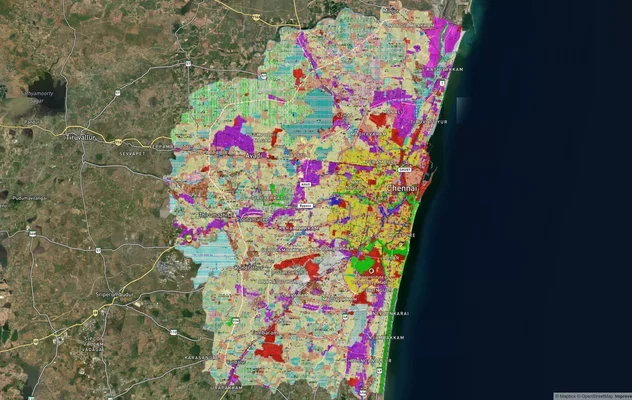
Chennai CMDA Masterplan: Zone Check and Land Use Guide
View Chennai Masterplan as a live map overlay – check any plot's land use zone for free on 1acre.in. Chennai CMDA master...
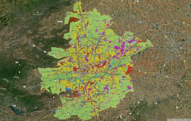
Coimbatore Masterplan 2041: LPA Zone Check and Land Use Guide
View Coimbatore Masterplan as a live map overlay – check any plot's land use zone for free on 1acre.in. Coimbatore maste...
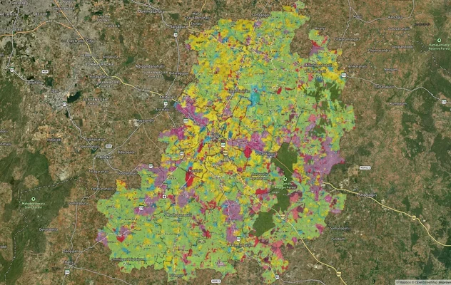
Hosur Masterplan: Zone Check and Land Use Guide
View Hosur Masterplan as a live map overlay – check any plot's land use zone for free on 1acre.in. Hosur masterplan zone...
More Layers in Tamil Nadu
Chennai CMDA Masterplan: Zone Check and Land Use Guide
View Chennai Masterplan as a live map overlay – check any plot's land use zone for free on 1acre.in. Chennai CMDA master...
Coimbatore Masterplan 2041: LPA Zone Check and Land Use Guide
View Coimbatore Masterplan as a live map overlay – check any plot's land use zone for free on 1acre.in. Coimbatore maste...
Hosur Masterplan: Zone Check and Land Use Guide
View Hosur Masterplan as a live map overlay – check any plot's land use zone for free on 1acre.in. Hosur masterplan zone...
Frequently Asked Questions
Patta shows current ownership, Chitta shows land classification and extent, and Adangal records cultivation and crop history. All three come from the Revenue Department and should be checked together, not individually.
Poramboke is government-owned communal or wasteland set aside for public use. It cannot legally be transferred to a private buyer, and the e-Services portal offers a dedicated tool to verify this before any purchase.
It confirms ownership and classification, but registration and full due diligence also require an Encumbrance Certificate from TNREGINET, which separately lists any mortgage, dispute, or prior transaction against the land.
As of June 2025, only about 51 percent of the 308.6-kilometre project was finished, with delays caused by local protests over crossing structures, shortages of construction material, and pending land approvals.
A government investigation attributed the April 2026 collapse of a bridge portion on the Villupuram-Nagapattinam stretch to a weak foundation, a finding confirmed through official probe reporting.
This section runs through Nagapattinam, Ramanathapuram, and Thoothukudi districts, connecting a pilgrimage and coastal town in the north to a major port city in the south.
Pull an Encumbrance Certificate through TNREGINET using the survey number and property details, and read it against the Patta chain to catch anything the revenue record alone would not show.
Yes. Coastal stretches near Ramanathapuram and Thoothukudi can fall under Coastal Regulation Zone restrictions tied to the Gulf of Mannar, independent of whatever the Patta and Chitta otherwise show.