
IAF Air Funnel Zones - Chennai


Iaf_air_funnel_zones_chennai Preview
Try the IAF Air Funnel Zones - Chennai on the map
Sign in once and explore the layer for a full day.
- No card details needed
- Find nearby verified lands for sale
Overview
The Tambaram Air Force Station land height restriction picture is genuinely distinct from Chennai's main civil airport, and confusing the two is the first mistake to avoid. Tambaram Air Force Station is a purely military airfield in Chennai, Tamil Nadu, primarily involved in training pilots as Qualified Flying Instructors and running a Mechanical Training Institute for airmen. It has no IATA code and currently carries no civilian air traffic of its own, standing apart from the separate Chennai International Airport at Meenambakkam, which is covered under its own distinct 1acre Air Funnel Zones layer. It covers why Tambaram requires its own separate defence clearance process, what a proposed civilian ATR role here could mean given the recent cancellation of Chennai's planned second airport, and the multi-service military activity that shapes this base's restricted airspace.
Tambaram Air Force Station Land: Regulatory Red Flags You Cannot Ignore
The first red flag is process confusion between Chennai's civil airport clearance system and Tambaram's separate military one. AAI has published an official Colour Coded Zoning Map for Chennai's civil airport, covering the Meenambakkam facility's own funnel and approach zones, accessible through the NOCAS portal. Tambaram Air Force Station is a different aerodrome entirely, and construction near it requires a distinct Airforce Station Defense Clearance process, tailored specifically to military site orientation and structural height requirements, rather than simply filing through the civil NOCAS system used for Meenambakkam. A buyer who checks only Chennai's civil CCZM and assumes that covers Tambaram as well has checked the wrong zone.
The second red flag concerns Tambaram's evolving role, and this is where recent developments in Chennai's broader airport story matter directly. There are two separate, documented plans involving Tambaram's expansion. In 2017, the Indian Air Force proposed lengthening the runway to accommodate larger aircraft supporting natural disaster response operations. Separately, and more significant for real estate purposes, there are plans to use the air force station to handle smaller civilian ATR aircraft, with a capacity of 70 to 80 passengers, specifically to decongest Chennai International Airport. This second plan takes on new weight given that Chennai's proposed Parandur Greenfield Airport, once positioned as the city's answer to long-term capacity constraints, was dropped by the Tamil Nadu government in July 2026 after the Airports Authority of India found large portions of the identified site to be unsuitable water bodies. With that major capacity-relief project shelved, Tambaram's smaller-scale ATR decongestion role becomes one of the few concrete near-term ideas still on the table for Chennai's aviation capacity, even though it remains an unconfirmed plan rather than a funded, under-construction project.
The table below sets out the base's core confirmed parameters.
Parameter
Confirmed Detail
Airport type
Purely military; no IATA code, no scheduled civil service
Primary role
Qualified Flying Instructor training and Mechanical Training Institute for airmen
Squadrons/units
An-32 transport squadron; Indian Navy helicopters also operate from the site
2017 proposal
Runway lengthening to accommodate larger disaster-response aircraft
Separate civil proposal
Handling smaller ATR aircraft (70-80 passenger capacity) to decongest Chennai's main civil airport
Applicable clearance framework
Separate Airforce Station Defense Clearance, distinct from Chennai civil airport's NOCAS CCZM process
Parameter
Confirmed Detail
Airport type
Purely military; no IATA code, no scheduled civil service
Primary role
Qualified Flying Instructor training and Mechanical Training Institute for airmen
Squadrons/units
An-32 transport squadron; Indian Navy helicopters also operate from the site
2017 proposal
Runway lengthening to accommodate larger disaster-response aircraft
Separate civil proposal
Handling smaller ATR aircraft (70-80 passenger capacity) to decongest Chennai's main civil airport
Applicable clearance framework
Separate Airforce Station Defense Clearance, distinct from Chennai civil airport's NOCAS CCZM process
The third red flag is the base's genuinely multi-service character. Beyond its core IAF training mission and resident An-32 transport squadron, helicopters from the Indian Navy also operate from this airfield. A base hosting more than one branch of the armed forces carries additional coordination complexity for any security-driven restricted zone decision, since clearance considerations may need to account for more than one service's operational requirements rather than a single command's alone.
The fourth consideration is that Tambaram's aviation history includes documented safety incidents, a sober reminder of why restricted zones exist around active military airfields. In July 1990, an Indian Air Force An-32 flying a route originating from Tambaram was lost in the Ponmudi mountain range. Incidents like this underscore that the height and construction restrictions governing land near this base exist to protect genuinely active flight operations, not as bureaucratic formality.
Areas and Micro-Markets Affected by the Tambaram Restricted Zone
Tambaram sits within Chennai's southern suburban railway corridor, an established and well-connected part of the city, which means restriction exposure here genuinely overlaps with real estate demand rather than sitting in an isolated area.
Locality
Position Relative to the Base
Character
Restriction Exposure
Tambaram base perimeter
Immediate vicinity of the airfield
Active military training and multi-service airfield
Highest exposure to the base's defence-driven restricted zone
Tambaram town
Surrounding established Chennai suburb
Well-connected via the Chennai Suburban Railway network
Moderate to high exposure depending on exact bearing from the runway
Tambaram Sanatorium
Nearby locality on the suburban rail corridor
Established residential neighbourhood
Exposure should be checked independently given its own distinct position relative to the airfield
Broader southern Chennai suburbs
Wider metropolitan catchment
Growing residential and commercial demand
Generally lower exposure, but any plot near the extended radius should still be verified
Locality
Position Relative to the Base
Character
Restriction Exposure
Tambaram base perimeter
Immediate vicinity of the airfield
Active military training and multi-service airfield
Highest exposure to the base's defence-driven restricted zone
Tambaram town
Surrounding established Chennai suburb
Well-connected via the Chennai Suburban Railway network
Moderate to high exposure depending on exact bearing from the runway
Tambaram Sanatorium
Nearby locality on the suburban rail corridor
Established residential neighbourhood
Exposure should be checked independently given its own distinct position relative to the airfield
Broader southern Chennai suburbs
Wider metropolitan catchment
Growing residential and commercial demand
Generally lower exposure, but any plot near the extended radius should still be verified
Tambaram town itself carries the most direct planning relevance on this list, given its established suburban character and its position immediately around an active, multi-service military airfield with two separate expansion proposals attached to it. Any mid-rise or high-rise construction plan here needs the Airforce Station Defense Clearance process confirmed before proceeding, particularly given that either the 2017 runway lengthening proposal or the ATR civilian decongestion plan, if either eventually advances, could shift the base's operational footprint and associated restricted zone.
Tambaram Sanatorium, while served by its own suburban railway station and generally treated as a separate residential locality, sits close enough to warrant its own independent check rather than an assumption that its distance from the base core is automatically protective. As with any funnel zone evaluation, direction relative to the runway matters as much as straight-line distance.
Was this layer helpful?
Anything wrong, outdated, or missing we want to hear it.

Access Survey NumbersAccess Tamil Nadu
Survey Numbers
Boundaries and numbers come from published state cadastral records. See all map layers.
Looking to sell your land in Tamil Nadu?

Browse all verified lands & plots in Tamil Nadu
More Layers in Tamil Nadu
See all 17 layers
Sulur Air Force Station Land Height Restriction Guide
The Sulur Air Force Station land height restriction picture involves a base unlike any other in India, given the sheer r...
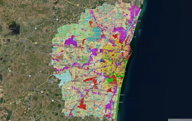
Chennai CMDA Masterplan: Zone Check and Land Use Guide
View Chennai Masterplan as a live map overlay – check any plot's land use zone for free on 1acre.in. Chennai CMDA master...
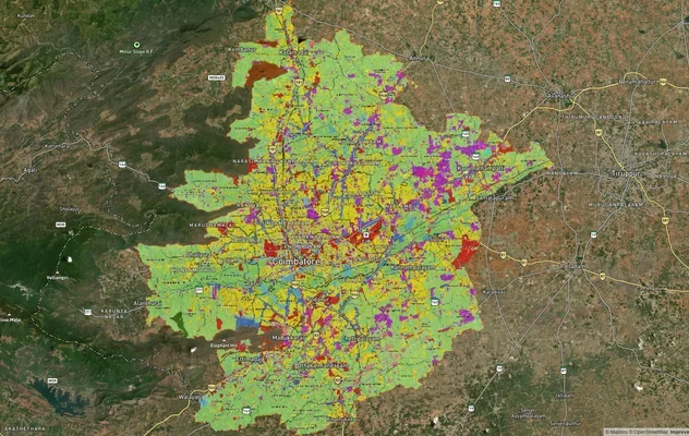
Coimbatore Masterplan 2041: LPA Zone Check and Land Use Guide
View Coimbatore Masterplan as a live map overlay – check any plot's land use zone for free on 1acre.in. Coimbatore maste...
More Layers in Tamil Nadu
Sulur Air Force Station Land Height Restriction Guide
The Sulur Air Force Station land height restriction picture involves a base unlike any other in India, given the sheer r...
Chennai CMDA Masterplan: Zone Check and Land Use Guide
View Chennai Masterplan as a live map overlay – check any plot's land use zone for free on 1acre.in. Chennai CMDA master...
Coimbatore Masterplan 2041: LPA Zone Check and Land Use Guide
View Coimbatore Masterplan as a live map overlay – check any plot's land use zone for free on 1acre.in. Coimbatore maste...